경로플래너기능업데이트
App
로그인 또는 가입
앱 다운로드
로그인 또는 가입
경로
Places to see
Natural Monuments
스페인
카탈루냐
바르셀로나

발레스 옥시덴탈

발레스 옥시덴탈‬에서 가장 멋진 ‪20‬개의 천연기념물


천연기념물을 방문하여 발레스 옥시덴탈의 아름다운 풍경을 만나보세요. 발레스 옥시덴탈에 있는 20
개의 천연기념물과 상세 정보를 살펴본 후에 방문하고 싶은 천연기념물을 다음 모험 계획에 추가해보세요!

마지막 업데이트: 10월 10, 2026

피 덴 샨드리

하이라이트 • 자연 기념물

The Pi d'en Xandri is one of the oldest pines in Catalonia and an ecological, cultural and historical symbol of Sant Cugat. It is estimated that he was born around the year 1774, at the time of Mozart, Kant and Napoleon Bonaparte, now about 248 years ago.

It is a stone pine (pinus pinea) and is located in the Torre Negra rural park. It has a considerable height -23 meters- and a trunk of 3.20 meters in diameter. Its crown is 21 meters wide and has a peculiar shape, like a parasol, with a wayward, half-naked branch. The Pi d'en Xandri lost part of its branches due to the snow that accumulated on Christmas night in the year 62, when a formidable snowfall covered Catalonia in white. In 1997 some vandals tried to saw it off and set it on fire. It was necessary to graft a piece of live trunk so that the sap could circulate again and it was held with the trunks that surround it today to facilitate its healing.

번역자 Google •

팁에 의해

하이킹 보기휴대폰으로 전송
저장

라 몰라 (1,103m)

하이라이트 • 정상

Fantastic place to visit with family, although on weekends it gets very crowded. It is one of the few examples of Catalan Romanesque that preserves its original plan. The bell tower is low and it is speculated that it was not finished. Next to the temple there is a wing, possibly a section of the cloister where a restaurant is located today. An interesting fact is that everything that the restaurant needs for its operation is carried to the top of the mountain on mules.

번역자 Google •

팁에 의해

저장

이런 장소를 발견하려면 지금 가입하세요

최고의 싱글 트랙, 봉우리 및 다양한 흥미로운 야외 장소에 대한 추천을 받아보세요.

무료 회원 가입

모랄 델 드락

하이라이트 • 자연 기념물

It is located on the northern slope of La Mola (1,103.3 m), the highest point of the massif, at a distance of about 550 meters from the summit. It is in the pass between the summit of La Mola and the hill of Griera (1,002.4), at the beginning of the Pagès ridge, which forms the backbone of the massif of Sant Llorenç del Munt up to the pass of Eres, southeast of Montcau. It has an elevation of 980.2 m. It is in the municipality of Matadepera, in Vallès Occidental. On the south-west side of the pass where it is located there is the Coma de l'Abella canal and on the north-east side there is the Santa Agnès canal, where the chapel of Santa Agnès is located.
It is a monolith of conglomerate with a carbonate composition formed by two large blocks of about 32 meters high, separated at their base, where they leave a large opening.
It is the scene of one of the most remote traditional legends of Sant Llorenç del Munt, the legend of the dragon of Sant Llorenç. The first ascent was made on February 11, 1923 by members of the Terrassa Hiking Center.

번역자 Google •

팁에 의해

저장

갈렉스 농촌 지역

하이라이트 (구간) • 자연

Gallecs is a rural area located in the Vallès Oriental and which preserves its natural and landscape values, which contrasts with the urban and industrial landscape around it. The Consortium of the Parc de l'Espai of natural interest in Galicia, made up of the Generalitat de Catalunya (Territory and Sustainability and of Agriculture, Livestock, Fisheries, Food and the Natural Environment) and the town councils of Mollet del Vallès, Santa Perpètua de Mogoda, Palau-solità i Plegamans, Parets del Vallès, Lliçà de Vall and Montcada i Reixac. It is a space, basically for agricultural use but also a space for leisure for the citizens and for the discovery of the environment and biodiversity.

The Espai Rural Gallecs promotes an agricultural model based on the sustainability of the territory at the environmental level but also economic as it works together with other agents in the territory to promote local products and share a common goal: to preserve the natural heritage, landscape and also , cultural.

번역자 Google •

팁에 의해

저장

폰트 델 캄프 델 미라클레

하이라이트 • 자연 기념물

Just in front of the Ermita de Sant Medir, on the other side of the esplanade, is the Font del Camp del Miracle. Made by APAC and the Penya Regalèssia, the fountain is presided over by a mosaic in homage to Sant Medir and the gathering that is held here every year at the beginning of March. Built of stoneware, it has four taps with a push button and a large running sink.

번역자 Google •

팁에 의해

저장

몬카우 정상

하이라이트 • 정상

Montcau (literally Mount Madriguera) is a peak of the Pre-coastal mountain range, located in the province of Barcelona (Spain), between Tarrasa and Manresa, with a height of 1056.8 m. It is included in the natural park of Sant Llorenç del Munt i l'Obac. It is one of the main peaks of the Sant Llorenç del Munt massif. Its west face presents excellent views over the Manresa plain and the Montserrat massif, while its northeast face faces the town of San Lorenzo Savall and the Montseny massif.


The Montcau in Sant Llorenç del Munt
Its top is rocky, with little vegetation grouped in spots and rows, and with a pyramidal shape.

In the hydrological aspect, it is found in the boundaries of the Llobregat and Besós basins. On its south face the Arenas stream is born.

It is a very characteristic elevation for its triangular shape, and with a great tradition in family hiking. In the upper part there is an orientation table that indicates the peaks and mountains that surround it. On clear days it is possible to see the Pyrenees.

Access is from the Coll de Estenalles, on the road from Tarrasa to Navarclés, where there are several car parks and the Park's interpretation center. From there, we continue walking along a track, first with a steep slope, then a softer one, which takes us to the Coll de Eres, from which we access the top.

번역자 Google •

팁에 의해

저장

투로 데 몬카다

하이라이트 • 정상

Turó de Montcada is a 273-meter mountain located in the municipality of Montcada i Reixac, in the Vallès Occidental region.

번역자 Google •

팁에 의해

저장

푸익 마드로나 정상

하이라이트 • 정상

Very wide views and a fun hike

번역자 Google •

팁에 의해

저장

토렌트 데 콜로브레르스

하이라이트 (구간) • 강

El torrent de Colobrers, també conegut amb el nom de torrent de la Tosca o torrent de Can Pagès

Infotaula de geografia física

Té uns 6 km de longitud. Neix a la serra del Vent, de Castellar del Vallès, travessa el pla de la Bruguera i, en entrar al terme de Sabadell, s'encaixa al terreny tot formant unes ribes alteroses i abruptes. Gairebé al final del recorregut passa entremig de Can Garriga i Can Pagès i desguassa al riu Ripoll prop del pont de Castellar.

L'aigua que aporta el torrent procedeix de la font de Can Moragues i també dels diferents i rics aqüífers de la zona. Part d'aquesta aigua es capta en una mina i es condueix per galeries subterrànies, recs i fins i tot un petit aqüeducte. Els destinataris són encara els quatre propietaris de l'entorn que se la repartiren l'any 1856: els Pagès, els Garriga, els Moragues i els Barata.

L'espectacularitat de l'indret és deguda en part a les espècies vegetals, que hi són exuberants. Entre la vegetació de bardissa, destaca la vidalba, l'heura, l'arítjol i l'esbarzer. Pel que fa als arbres de ribera, hi abunden els pollancres, els saücs i els plàtans plantats, al costat de diferents esquelets d'oms afectats per una plaga de fongs. Els joncs, el càrex, els créixens, la sarriassa, les falgueres, les heures i la cua de cavall són algunes de les espècies de ribera que més hi creixen. Cal destacar el galzeran entre els petits arbustos de la zona. Pel que fa a la fauna, hi són freqüents el pit-roig, el cargolet, l'oriol, el rossinyol. Però també el toixó, la fagina, els ratolins i les musaranyes, al costat de la granota verda, la reineta, el gripau, la salamandra i el vidriol. Tanmateix, els invertebrats hi són els éssers més abundants.

L'any 1981 aquest torrent va patir un malaurat vessament de fuel que va fer perillar notablement la biodiversitat de l'indret. Finalment es va poder aturar la "marea negra", però les restes de material químic no van acabar de desaparèixer fins ben bé deu anys després.

El 1991 el departament de Promoció Econòmica de l'Ajuntament de Sabadell va crear l'Escola Taller de Medi Ambient La Salut. Els joves que hi van treballar es van dedicar, en part, a netejar i arranjar el torrent de Colobrers i la font i la bassa de Can Moragues. Van construir unes passeres i van barrar accessos per delimitar un únic traçat, amb la intenció d'estalviar erosió innecessària. També van publicar un itinerari.

팁에 의해

저장

Font de la Tartana

하이라이트 • 자연 기념물

La Font de la Tartana is located on the left hand side, at the foot of the main road to Can Torres, once you have left behind the farmhouse of Can Solà del Racó.

The water fountain has been protected with a quadrangular plant construction (4.10 m. deep by 3.20 m. front), protected by a stone structure similar to a vaulted hut of dry stone that reminds by assimilation, of a tartan.

It is built on sloping land, excavating towards the interior, until you find the water source. The back wall and the sides have been built from consecutive rows of irregular stone blocks to form a semi-circular arched vault, with the stone arranged in book folds and wedged with rubble. Later it would have been plastered with lime mortar. On the vault, you can partially see the traces left by the reeds.

번역자 Google •

팁에 의해

저장

무료로 가입하여 발레스 옥시덴탈 주변의 더 많은 자연 기념물을 발견하세요.

무료 회원 가입

이미 komoot 계정이 있나요?

오늘 무료 계정으로 시작하세요

다음 모험이 기다리고 있어요.

로그인 또는 가입하기

발레스 옥시덴탈 주변 인기 장소

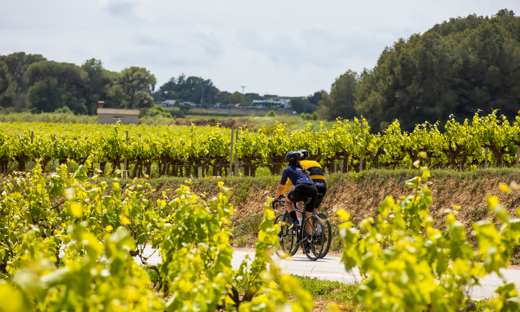
Cycling in the province of Barcelona — family routes and traverses
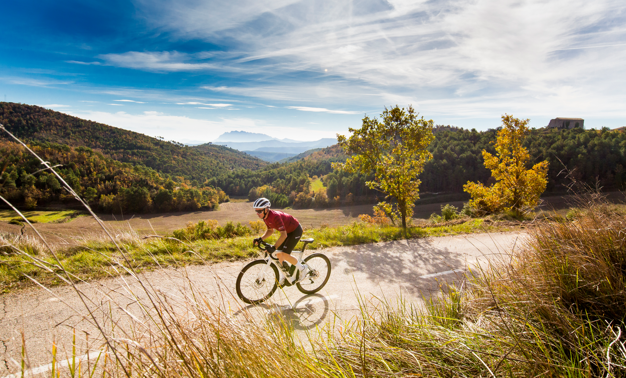
Barcelona: routes near the Tour de France 2026 Grand Départ
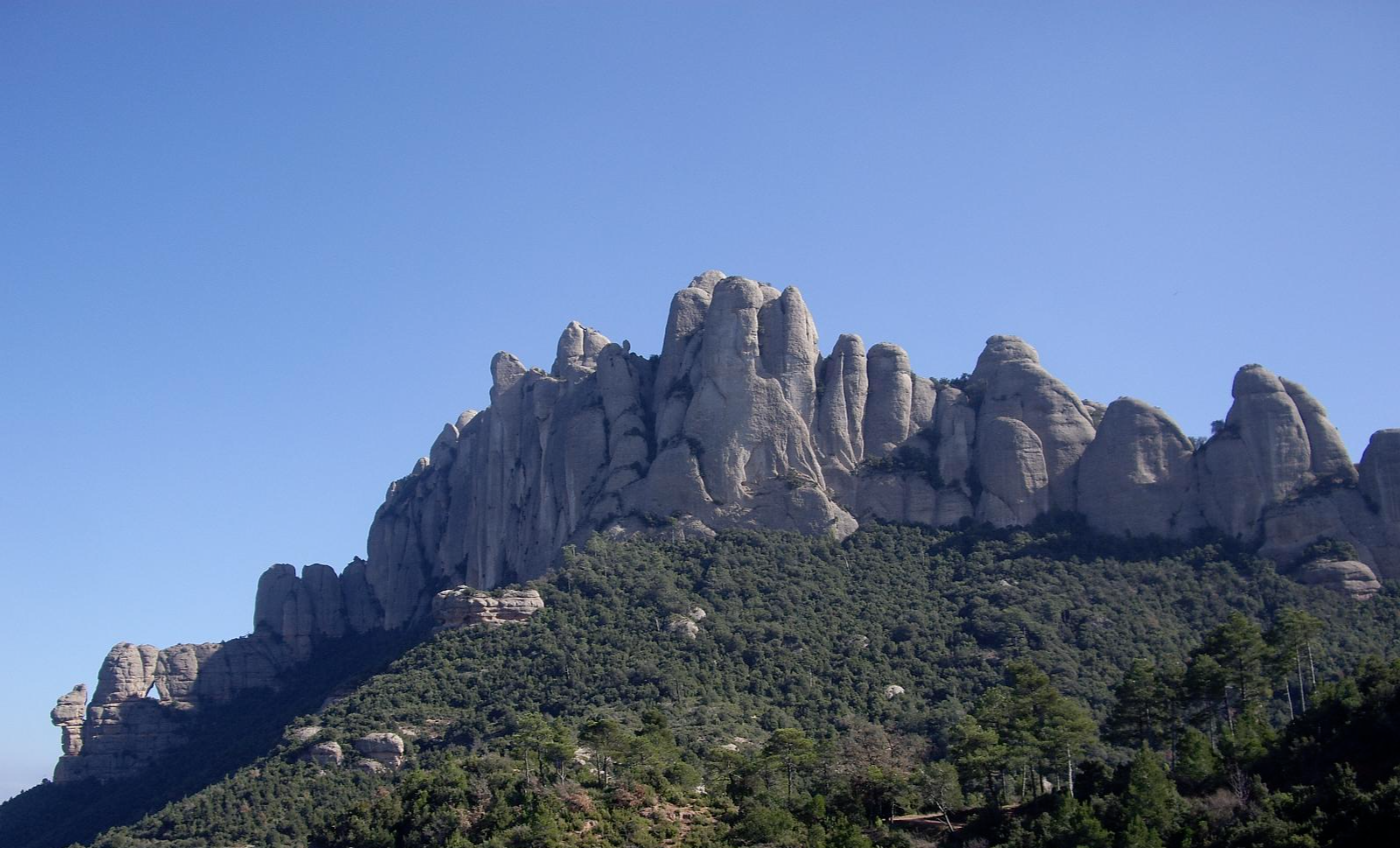
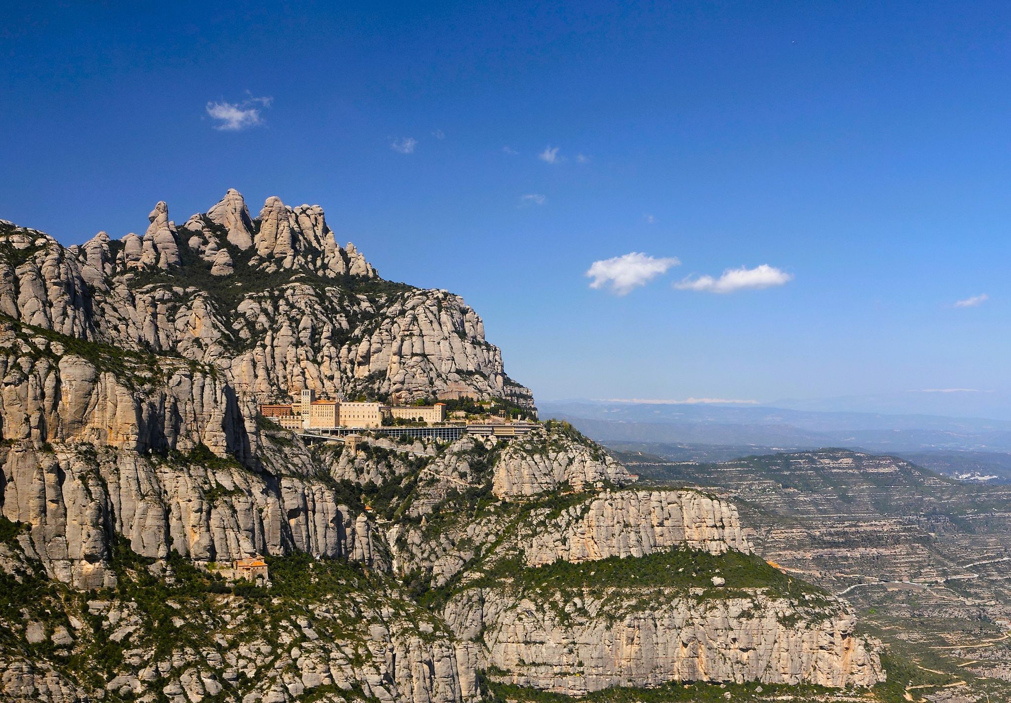
몬세라트로 가는 순례자의 길 - GR 96
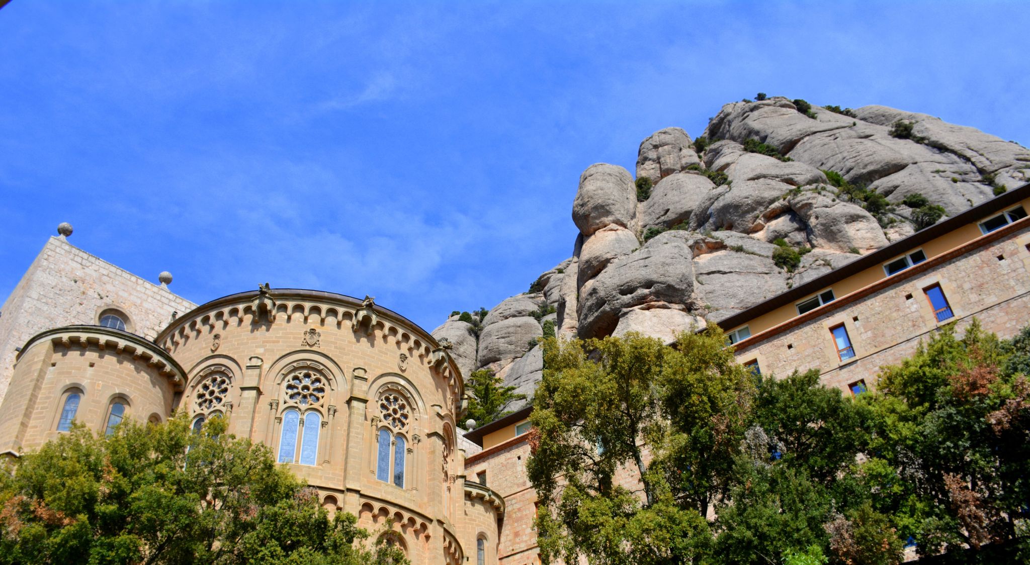
가이로을 가지아수 - Camí Romeu de Montserrat (GR 96)
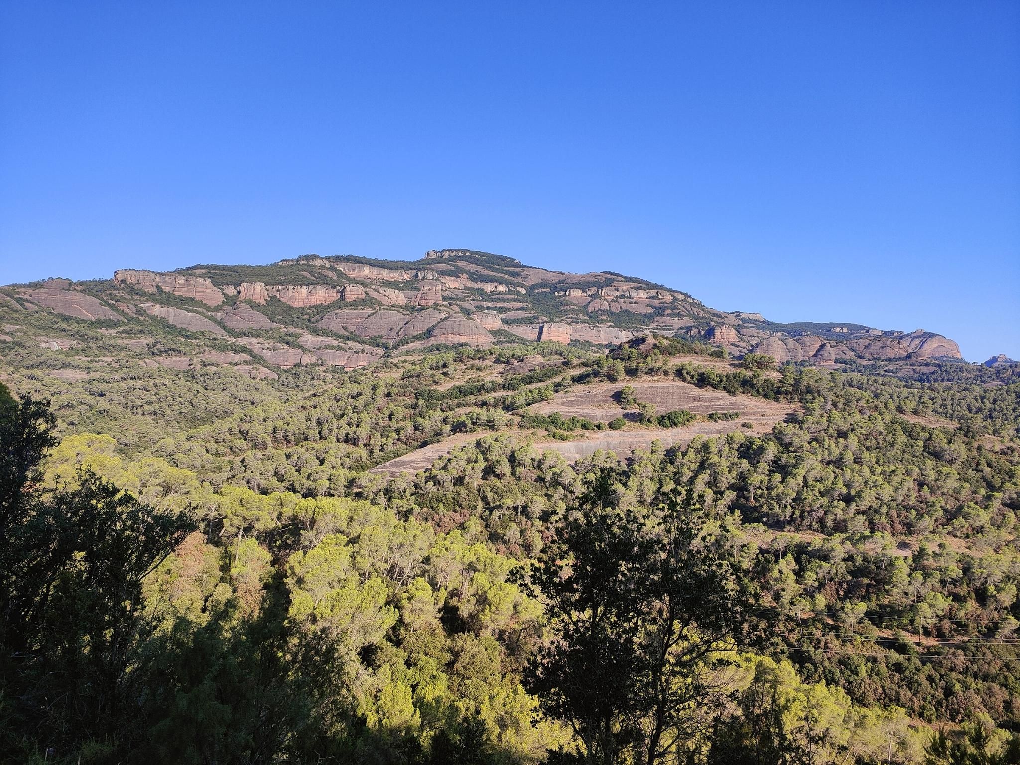
글 일기 정리 - Vallès Natural(GR 173) 일리

The Magic Mountain — Barcelona-Montserrat Trail (GR 6)
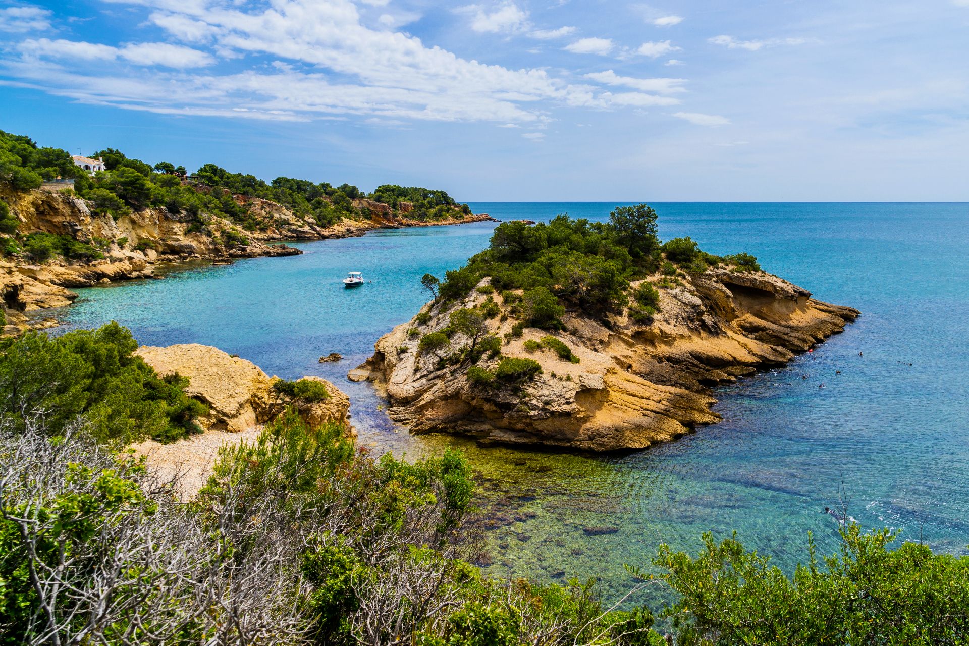
공랑드 공화리스 발리스 (GR 92)
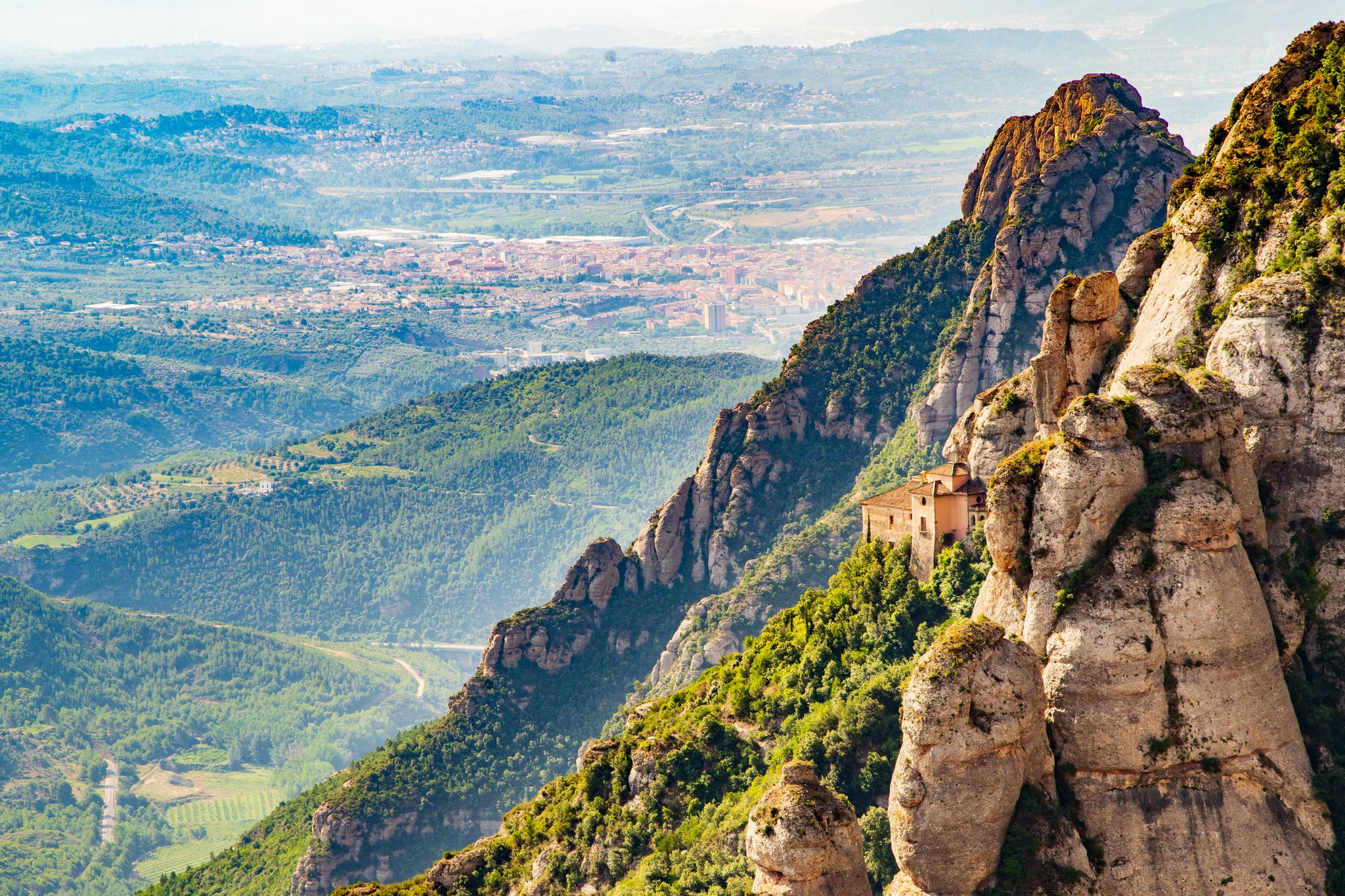
바르셀로나 아치 - 자연 공원 트레일 (GR 5)
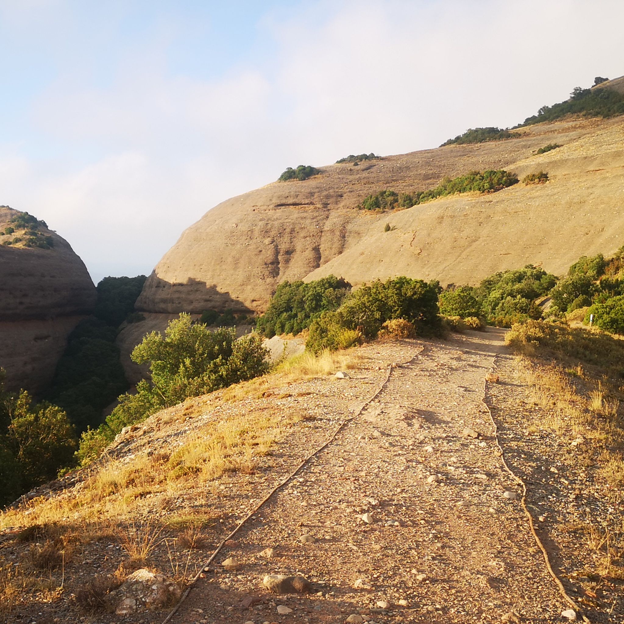
발레스 옥시덴탈 하이킹
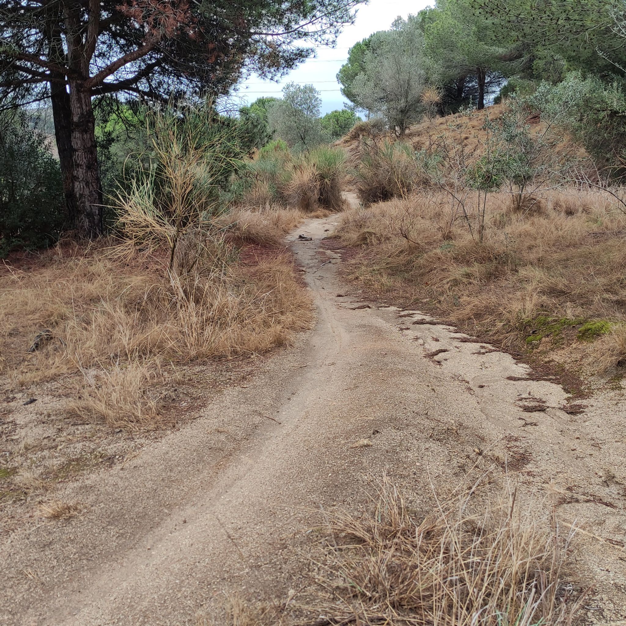
발레스 옥시덴탈 MTB 트레일

발레스 옥시덴탈 주변의 다른 모험

Cycling in the province of Barcelona — family routes and traverses

사이클링 컬렉션 에 의해

Barcelona és molt més

커뮤니티 팁

TomW
2월 5, 2026, Espai Rural de Gallecs

Real nice, shame it's only about 2 km but also a shame there aren't more such roads in the area. Go when there's no racing or practice sessions at the nearby Montmeló circuit!

0

0

The restaurant has been closed since 2023.

번역: Google•

1

0

Hugo
1월 19, 2025, La Mola (1.103 m)

I loved it

번역: Google•

0

0

https://www.instagram.com/reel/C5G5nPtNspQ/?igsh=MXRnNjN2MXB0Z2Z6cQ==

2

0

Paco
10월 29, 2023, Morral del Drac

Very curious and spectacular

번역: Google•

3

0

Very well signposted and encourages you to reach the top

번역: Google•

2

0

It is a small rest area located in the shade of the trees and has a couple of picnic tables. It is located next to the Font de la Tartana spring, making it an ideal place to cool off and regain strength before continuing the march.

번역: Google•

1

1

The Xandri pine is a monumental pinyoner pine (Pinus pinea in Latin) located in the territory of the rural park of Torre Negra in Sant Cugat del Vallès, about 250 years old (according to a dendrological analysis it germinated in 1774). The tree has a height of 23 meters, a trunk circumference of 3.20 meters and a trunk thickness of 3.60 meters. Its head has a width of 21 by 15 meters. It is called Xandri because it is located on land that was once owned by a farmer named Xandri

번역: Google•

3

0

발레스 옥시덴탈 주변에서 가장 인기 있는 경로

발레스 옥시덴탈 하이킹

발레스 옥시덴탈 주변에서 가장 인기 있는 명소

Places to see

Store rating

komoot 모바일 앱으로 영감을 받아보세요

무료 komoot 계정로 끝없는 야외 모험을 손쉽게 찾고, 맞춤 설정하며 길안내할 수 있어요.

또는

지금 komoot에 가입하세요
Store rating

찾고 계신 것을 찾지 못하셨나요?

지역별 최고의 하이라이트를 확인하여 발레스 옥시덴탈 주변의 더 놀라운 자연 기념물을 찾아보세요:

울라스트렐세라 데 콜세롤라파르크 드 콜세롤라사바델테라사산트 쿠가트 델 발레스바카리스카스텔라 델 발레스리플렛센트메낫산타 페르페투아 드 모고다빌라데카발마타데페라폴리냐루비바디아 델 발레스바르베라 델 발레스카스텔비스발Montcada I Reixac세르다뇰라 델 발레스렐리나르갈리파산트 퀴르제 델 발레스산트 요렌스 사발팔라우 솔리타 I 플레가만스

더 살펴보기

발레스 옥시덴탈 주변의 최고의 동굴을 찾기 위해 이 가이드를 확인해보세요:

근처 어드벤처 가이드

산트 퀴르제 델 발레스 즐길거리

background

새로운 정복을 위한 준비를 하세요

무료로 가입하기
탐험하기
경로경로 플래너기능바우처 사용하이킹MTB 트레일로드 사이클링 경로바이크패킹사이트맵
앱 다운로드
소셜 미디어에서 팔로우하기

© komoot GmbH

개인 정보 보호 정책