20의 바즈/오베르바즈가지 명소 & 주요 장소
바즈/오베르바즈에는 둘러볼 만한 장소가 많답니다. 하이킹 또는 사이클링을 좋아한다면 바즈/오베르바즈에 숨겨진 20
가지 보석을 만날 수 있을 거예요. 이 지역의 주요 명소를 살펴보면서 다음 모험을 계획해보세요.
마지막 업데이트: 10월 23, 2026

파르파너 로트호른 정상
하이라이트 • 정상
번역자 Google •
팁에 의해

이런 장소를 발견하려면 지금 가입하세요
최고의 싱글 트랙, 봉우리 및 다양한 흥미로운 야외 장소에 대한 추천을 받아보세요.
드라이뷘덴슈타인 기념비
하이라이트 • 기념물
번역문 보기
팁에 의해

바이스호른 정상 (2,653m)
하이라이트 • 정상
번역자 Google •
팁에 의해
트라베르시너슈테크 현수교
하이라이트 • 다리
번역자 Google •
팁에 의해
무료로 가입하여 바즈/오베르바즈 주변의 더 많은 명소를 발견하세요.
이미 komoot 계정이 있나요?
오늘 무료 계정으로 시작하세요
다음 모험이 기다리고 있어요.
바즈/오베르바즈 주변 인기 장소
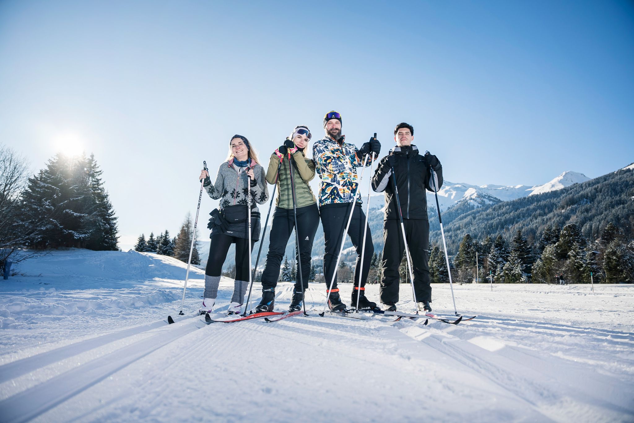
«Everyone runs long»: Cross-country ski trail tips from Graubünden
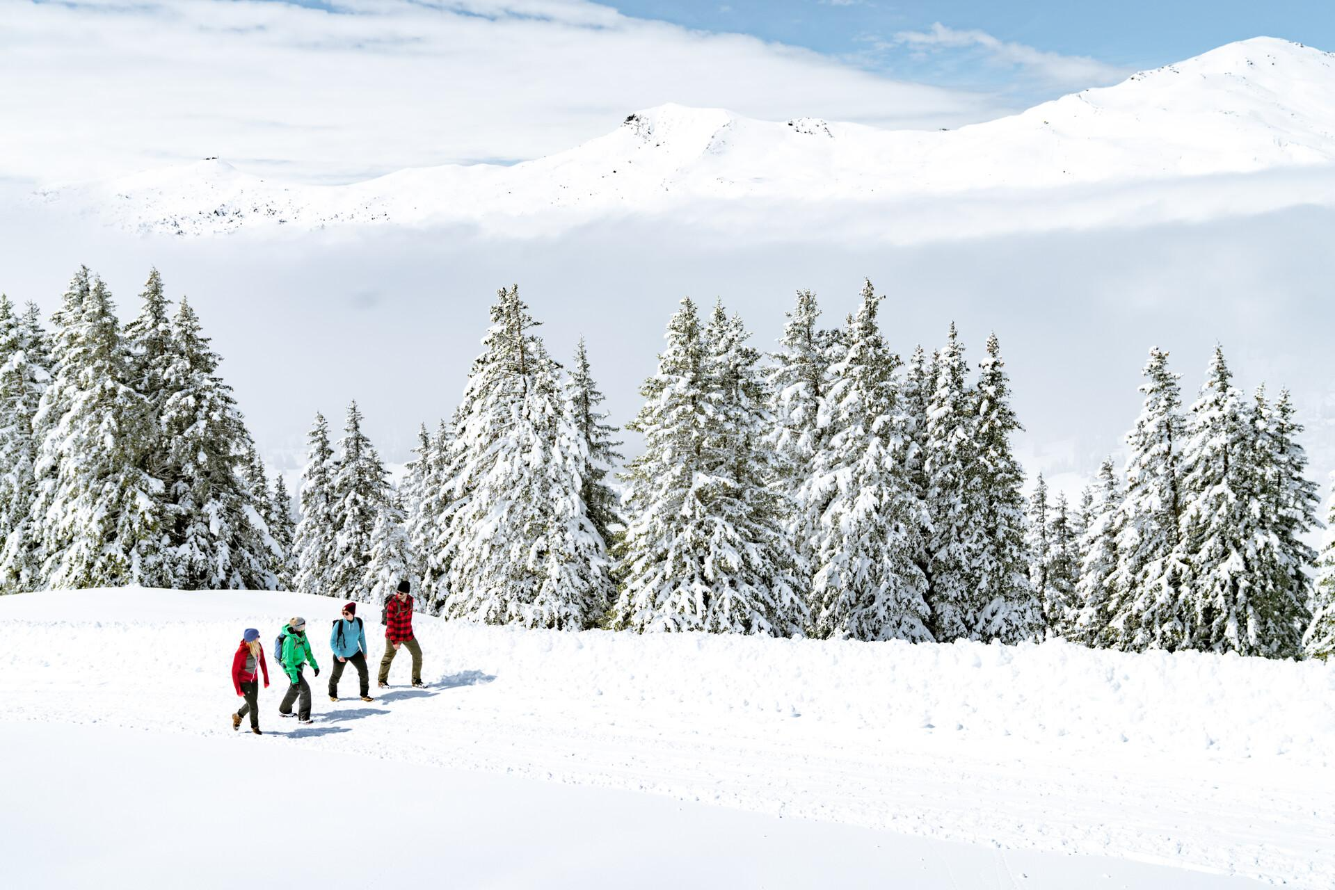
Immerse yourself in Lenzerheide's winter wonderland
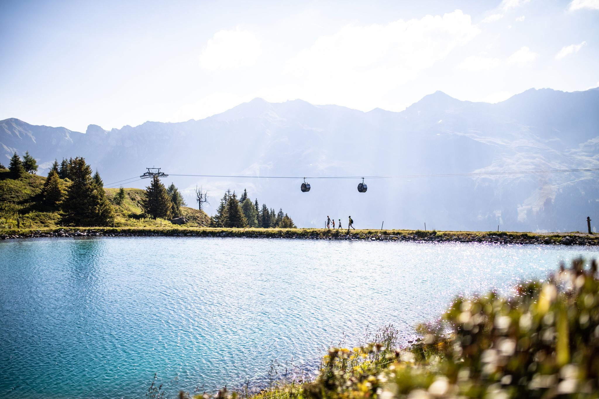
From the peaks to the cool waters – Coolcation Lenzerheide
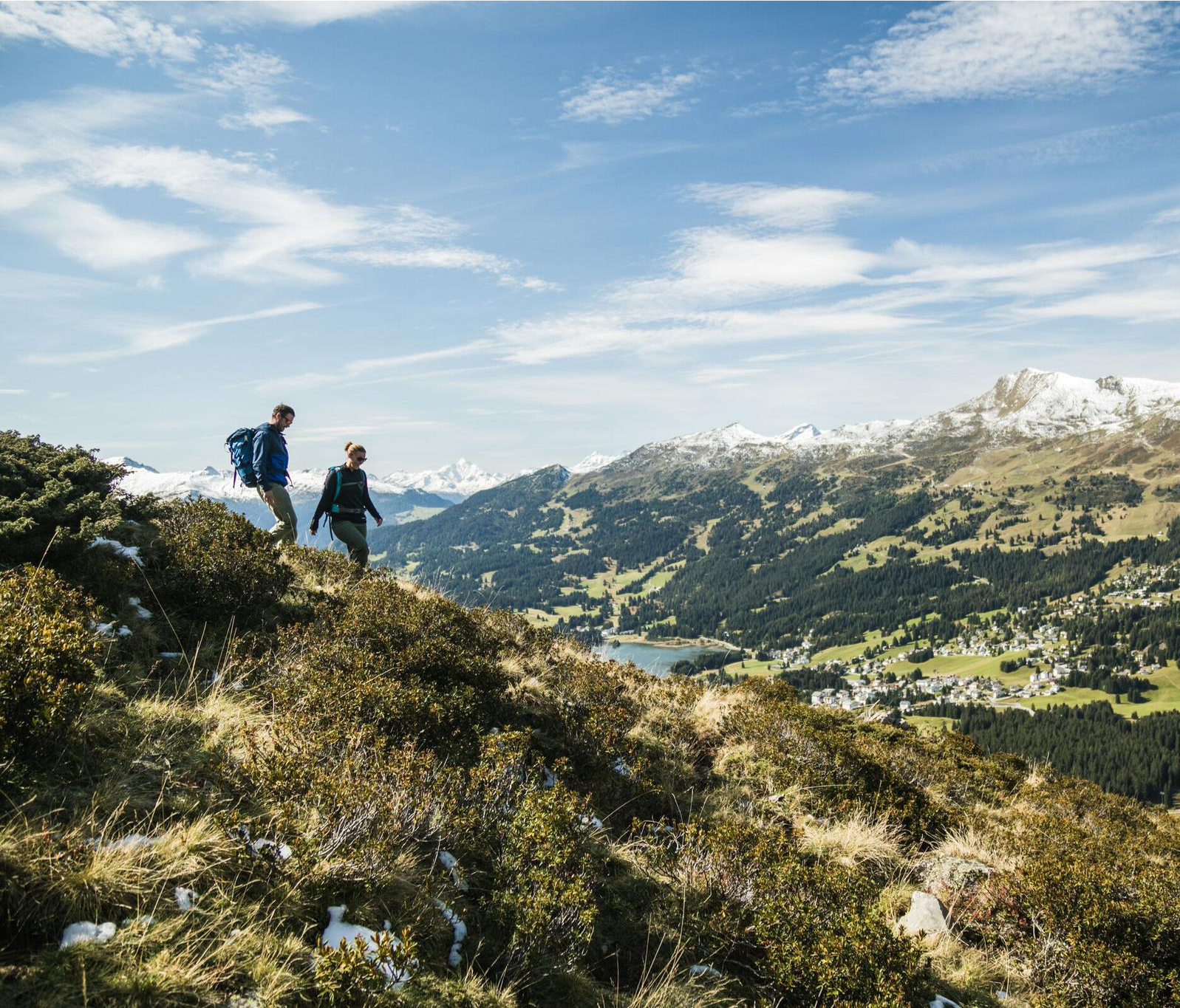
Diverse natural beauty – autumn hiking in Lenzerheide
Quiet villages, proud passes, impressive history – the Via Sett
Hundreds of kilometres of trails and endless peaks - MTB in Arosa
Consideration on the trails – it just makes sense!
Hiking with respect and tolerance – it just makes sense!
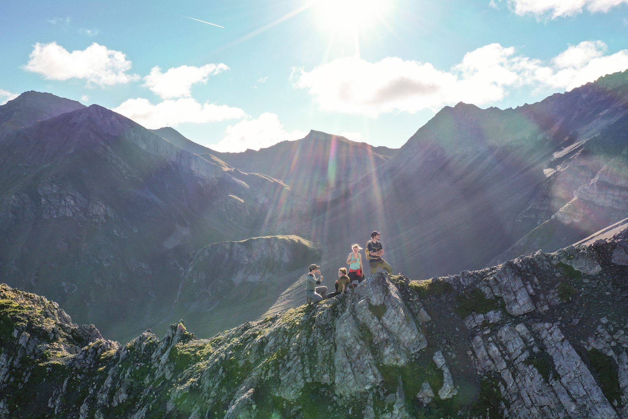
Satisfy your wanderlust in the Lenzerheide region
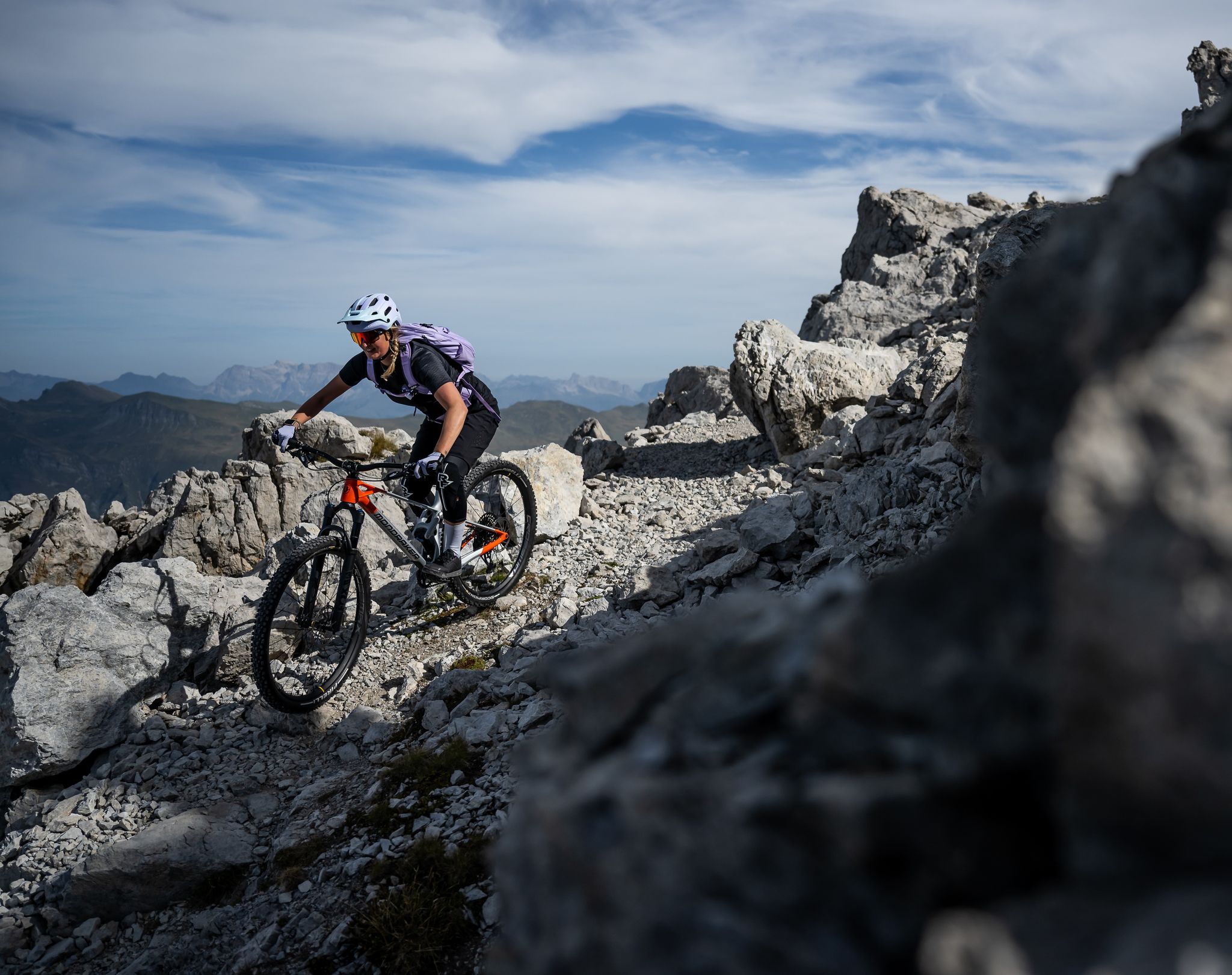
Endless trail fun in the Lenzerheide region
바즈/오베르바즈 주변의 다른 모험


커뮤니티 팁


Prepare for a long, exhausting but amazing 2000 descent!
0
0

Top view into the distance and of Arosa
0
0

There are two ways to reach the Parpaner Rothorn: either by taking the cable car or by embarking on a challenging and strenuous hike. If you choose the latter option, you'll need sturdy footwear. Surefootedness and a head for heights are also beneficial on the ascent, ensuring you reach the summit safely. Next to the cable car station, there's also a panoramic restaurant where you can recharge with fine dining after a strenuous hike.
2
2
You can reach the 2,653-meter-high summit of the Weisshorn either by taking a strenuous but very worthwhile hike, or by taking the cable car in a very relaxed manner while sitting down. A fantastic view in all directions awaits you at the top.
2
0

The Viamala, Via Mala, Veia Mala means "bad path" and applies to the 8-kilometer-long path along the Hinterrhein between Thusis and Zillis-Reischen in Graubünden. The gorge was the most difficult obstacle to the Splügen and San Bernardino Alpine passes. The historic path on the right bank of the Rhine, the Veia Traversina, was renovated with the construction of the Traversinasteg, as was the new suspension bridge built in 2005 as a staircase. The Via Spluga is a Swiss cultural hiking trail no. 50 on the historic Alpine transit route from Thusis (Graubünden) over the Splügen Pass to Chiavenna (Italy). In 1967, the 6.6 km tunnel was built at the San Bernardino Pass, which connects the Rhine Valley with the Misox via the A13 motorway. The cantonal road Rongellen 1 and 2 with a tunnel runs parallel to the A13. The old pass road from Thusis to the Rongellen is now only for hikers and cyclists.
5
0
그라우뷘덴의 드라이뷘덴슈타인은 쿠어 시 남쪽 2,156미터 높이에 있는 융기 지역으로, 해발 2,174미터에 위치한 푸르가뷔엘 산에 있습니다. 두 곳은 15미터 높이의 안장과 500미터 거리로만 분리되어 있습니다. 이 지점은 산봉우리가 아니라 역사적인 장소입니다. 이곳은 옛 삼동맹 자유국의 유일한 삼중 국경 지점이었습니다. 1722년의 원본 비석은 쿠어의 래천 박물관에 전시되어 있습니다. 1915년의 대체 비석에는 삼동맹의 세 가지 문장이 새겨져 있습니다. 삼동맹에는 래튠스 관할 공동체인 그라우어 분트, 오르텐슈타인 성의 고테스하우스 분트, 추어발덴의 체잉에리히텐분트가 포함되었습니다.
5
0
바즈/오베르바즈 주변에서 가장 인기 있는 명소


더 살펴보기
찾고 있는 하이라이트를 아직 못 찾으셨나요? 다른 지역의 주요 명소 가이드를 확인해보세요:
