라우엔포르데 최고의 MTB 라이딩 경로
4.7
(473)
1,070
자전거 타는 사람
60
라이딩
라우엔포르데에 있는 멋진 산악자전거 라이딩 경로를 따라 어디로 가 볼까요? 라우엔포르데에 있는 MTB 경로 컬렉션 중에서 가장 멋진 장소를 아래에서 살펴보세요.
마지막 업데이트: 10월 9, 2026
4.7
(81)
198
자전거 타는 사람
45.1km
02:33
250m
250m
보통 산악 자전거 타기. 좋은 체력 필요. 뛰어난 라이딩 실력이 필요함.
4.6
(19)
33
자전거 타는 사람
30.3km
02:07
360m
360m
보통 산악 자전거 타기. 좋은 체력 필요. 뛰어난 라이딩 실력이 필요함.

4.9
(18)
29
자전거 타는 사람
43.2km
02:49
430m
430m
보통 산악 자전거 타기. 좋은 체력 필요. 뛰어난 라이딩 실력이 필요함.
4.6
(17)
38
자전거 타는 사람
30.4km
01:43
190m
190m
초급용 산악자전거 라이딩. 모든 체력 수준에 적합. 실력과 관계없이 누구나 갈 수 있음.
4.8
(17)
31
자전거 타는 사람
31.4km
02:28
480m
480m
보통 산악 자전거 타기. 좋은 체력 필요. 실력과 관계없이 누구나 갈 수 있음.
더 다양한 경로와 다른 탐험가들의 추천을 살펴보세요.
이미 komoot 계정이 있나요?
투어 추천은 다른 사람들이 komoot에서 완료한 수천 개의 활동을 바탕으로 구성되어 있습니다.
오늘 무료 계정으로 시작하세요
다음 모험이 기다리고 있어요.
커뮤니티 팁


Great view from the Speriesgrund cycle path to Bad Karlshafen. After a 25% incline, you can enjoy this magnificent view of Bad Karlshafen. A visit is highly recommended.
2
0

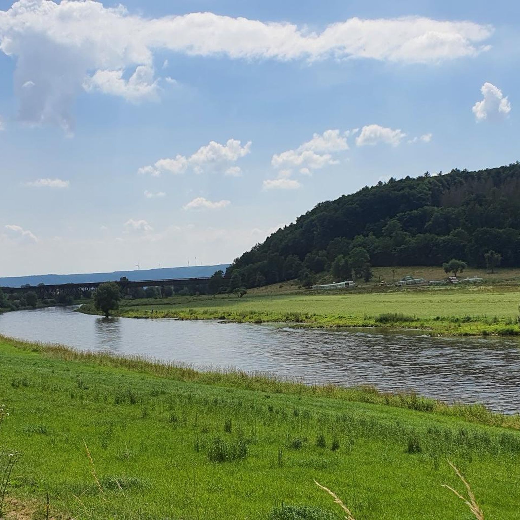
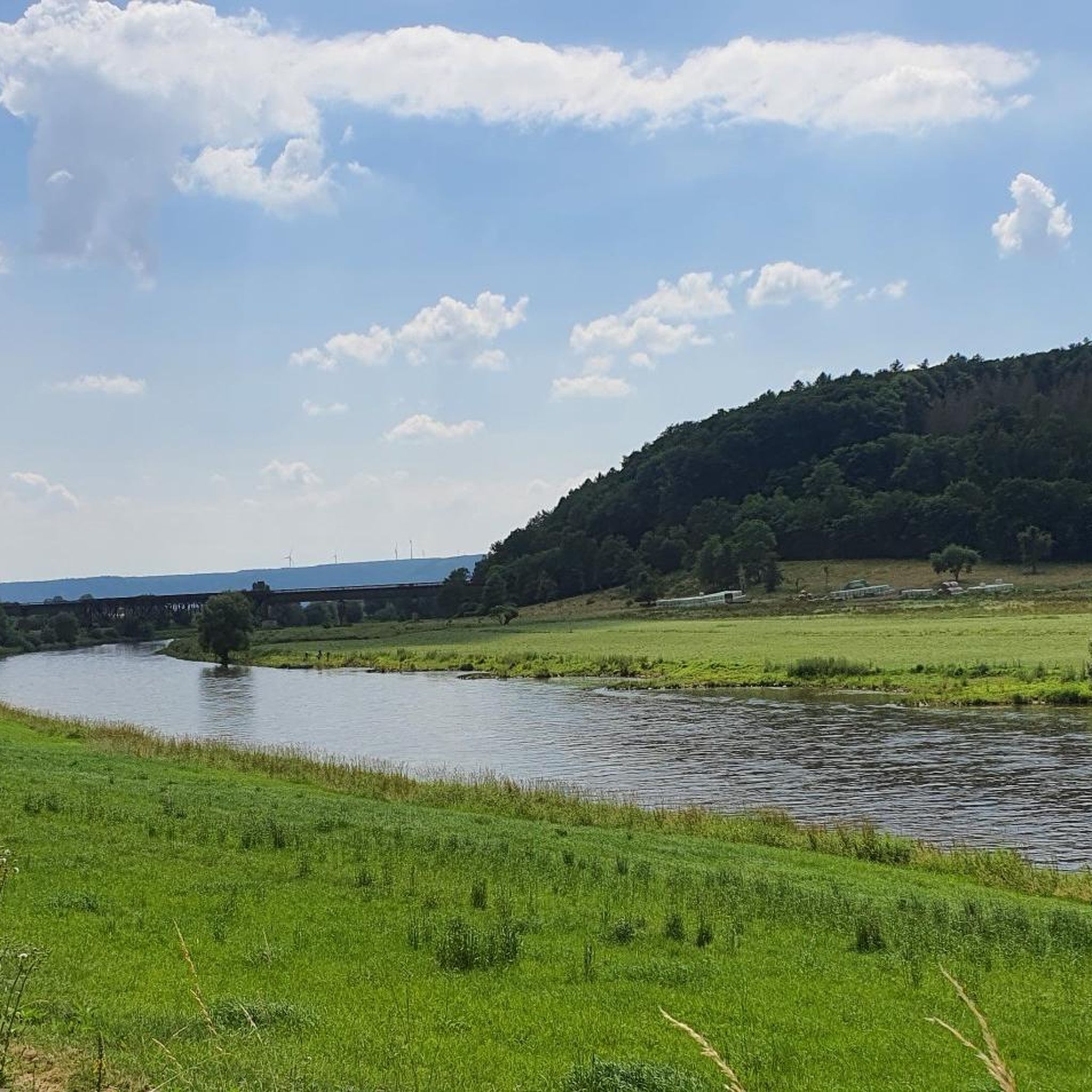
From the Weser bridge from Lauenburg to Beverungen you have a beautiful view of the town.
0
0

Nice place to take a breather behind Wülmersen
1
0

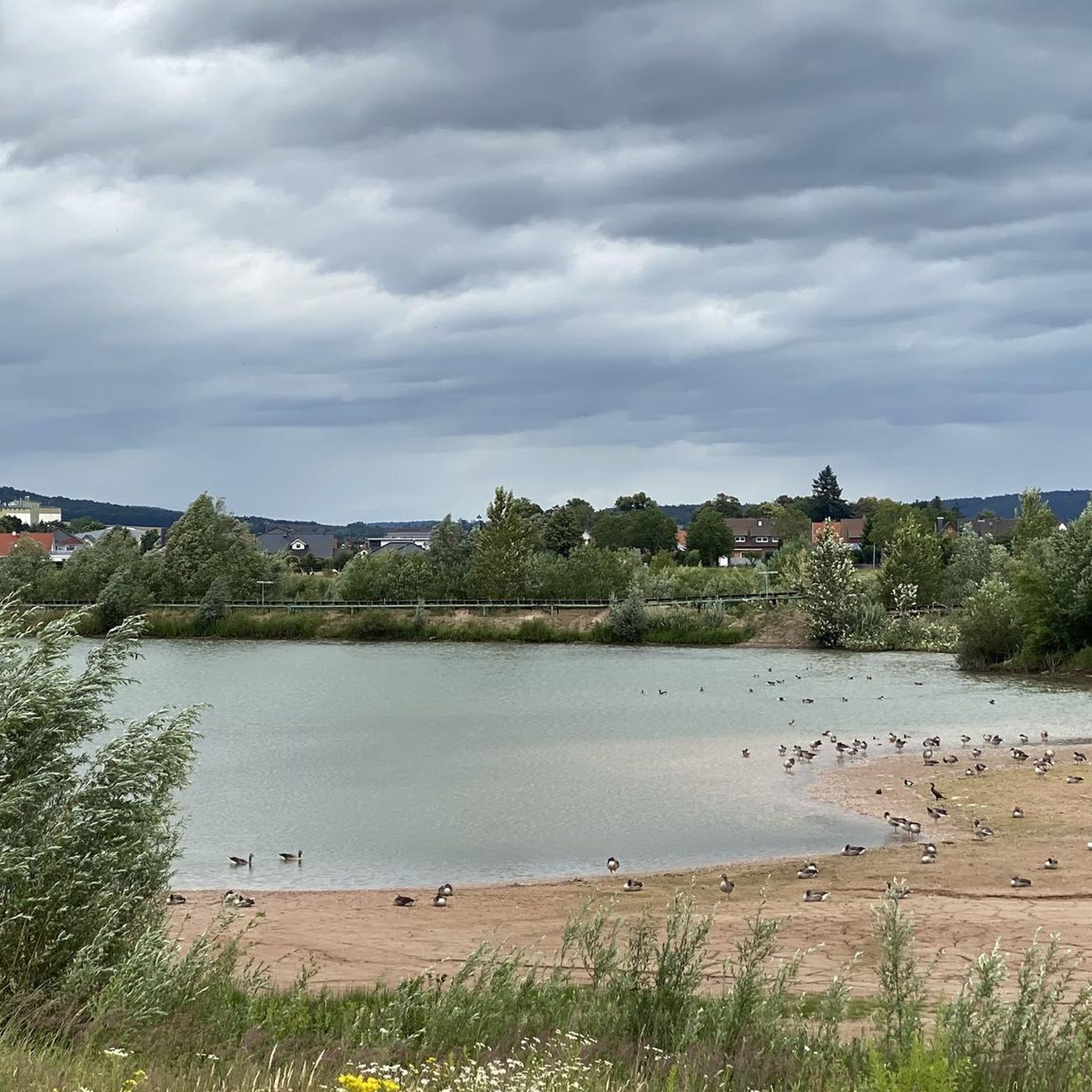
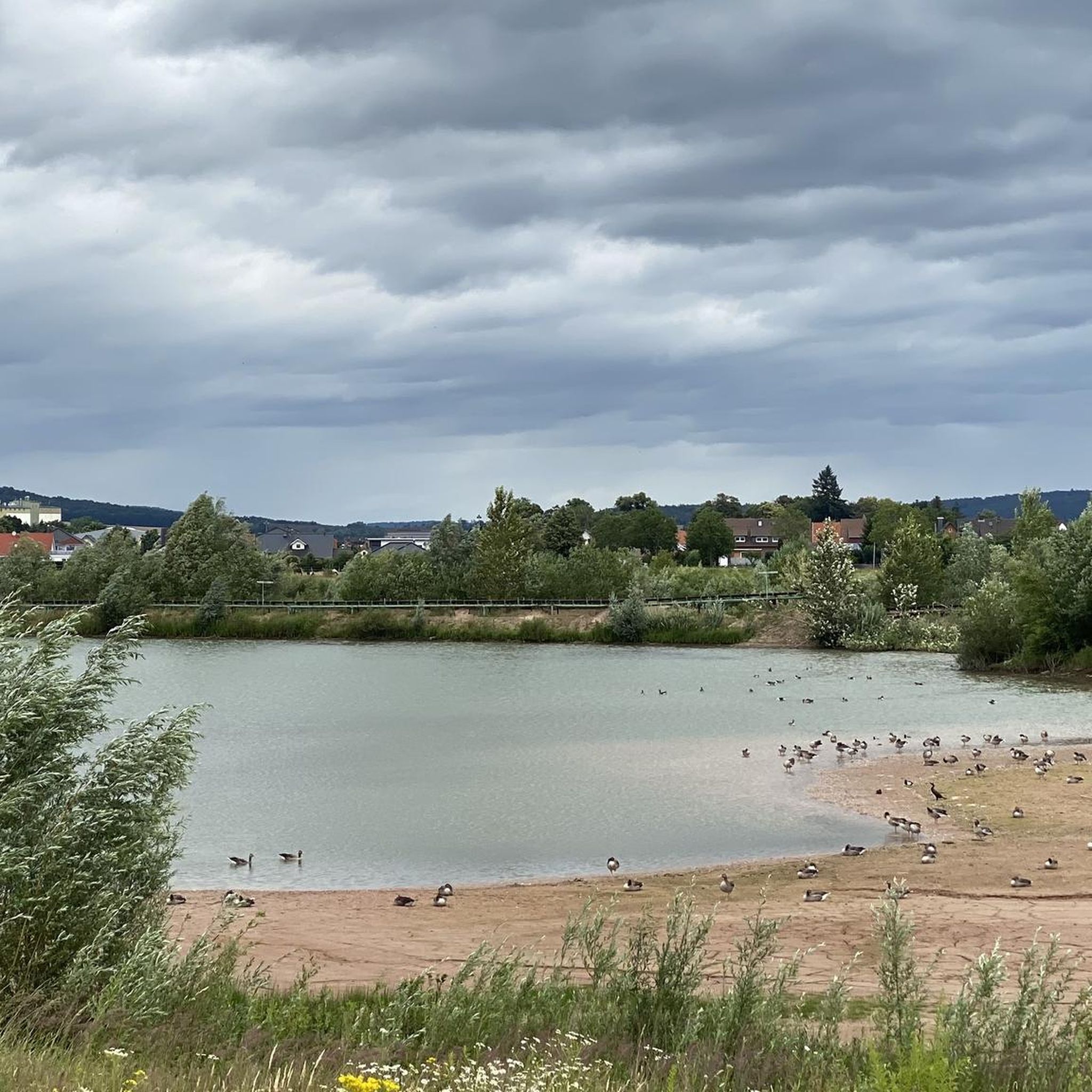
A great area with many views in the city and on the shore
6
0

After the last river loop below the Bad Karlshafen colony of Nollendorf, the Diemel reaches the Bad Karlshafen town center, where it passes under the federal highway 80, which meets the B7 on the left bank of the river. Shortly afterwards, it flows into the Upper Weser at Weser kilometer 44.68, directly below the Hessian Cliffs, at a height of about 95.6 m. There is a height difference of about 564.4 m between the source and the mouth. At the mouth, the Diemel has an average discharge of about 15.7 m³/s. https://de.wikipedia.org/wiki/Diemel
8
0
Destination reached, in Bad Karlshafen the Diemel flows into the Weser.
8
0
라우엔포르데 주변에서 가장 인기 있는 명소


더 살펴보기
다른 지역의 최고의 MTB 트레일를 살펴보세요.
