큐브에서 가장 멋진 7개의 천연기념물
최고의 자연 기념물은 카탈루냐 해안과 내륙을 따라 펼쳐진 다양한 자연 지역을 포함합니다. 이 지역은 포이시 강과 그 저수지와 같은 중요한 생태 구역을 특징으로 하며, 독특한 습지 서식지를 제공합니다. 이 지역들은 해안 환경과 가라프 산맥을 연결하며 경치 좋은 아름다움과 야외 레크리에이션 기회를 제공합니다. 쿠벨레스는 호수, 정상, 강 하구를 포함한 다양한 자연 기념물로 유명합니다.
쿠벨레스 주변 최고의 자연 기념물
- 가장 인기 있는 자연 기념물은 해발 464미터에 위치한 정상인 푸이그 데 라리가(Puig de l'Àliga)입니다. 이곳은 페네데스 평야와 가라프 해안 모두를 조망할 수…
마지막 업데이트: 8월 25, 2026

Pla dels Albats 네크로폴리스와 예배당 유적
하이라이트 • 역사적 장소
번역자 Google •
팁에 의해

이런 장소를 발견하려면 지금 가입하세요
최고의 싱글 트랙, 봉우리 및 다양한 흥미로운 야외 장소에 대한 추천을 받아보세요.
무료 회원 가입

Fita dels Tres Termes
하이라이트 • 정상
번역자 Google •
팁에 의해

Font de Fontjilles
하이라이트 • 자연 기념물
번역자 Google •
팁에 의해

무료로 가입하여 큐브 주변의 더 많은 자연 기념물을 발견하세요.
무료 회원 가입
이미 komoot 계정이 있나요?
오늘 무료 계정으로 시작하세요
다음 모험이 기다리고 있어요.
로그인 또는 가입하기
커뮤니티 팁

Beautiful hike and a great view of Vilanova i la Geltrú and the sea.
8
0


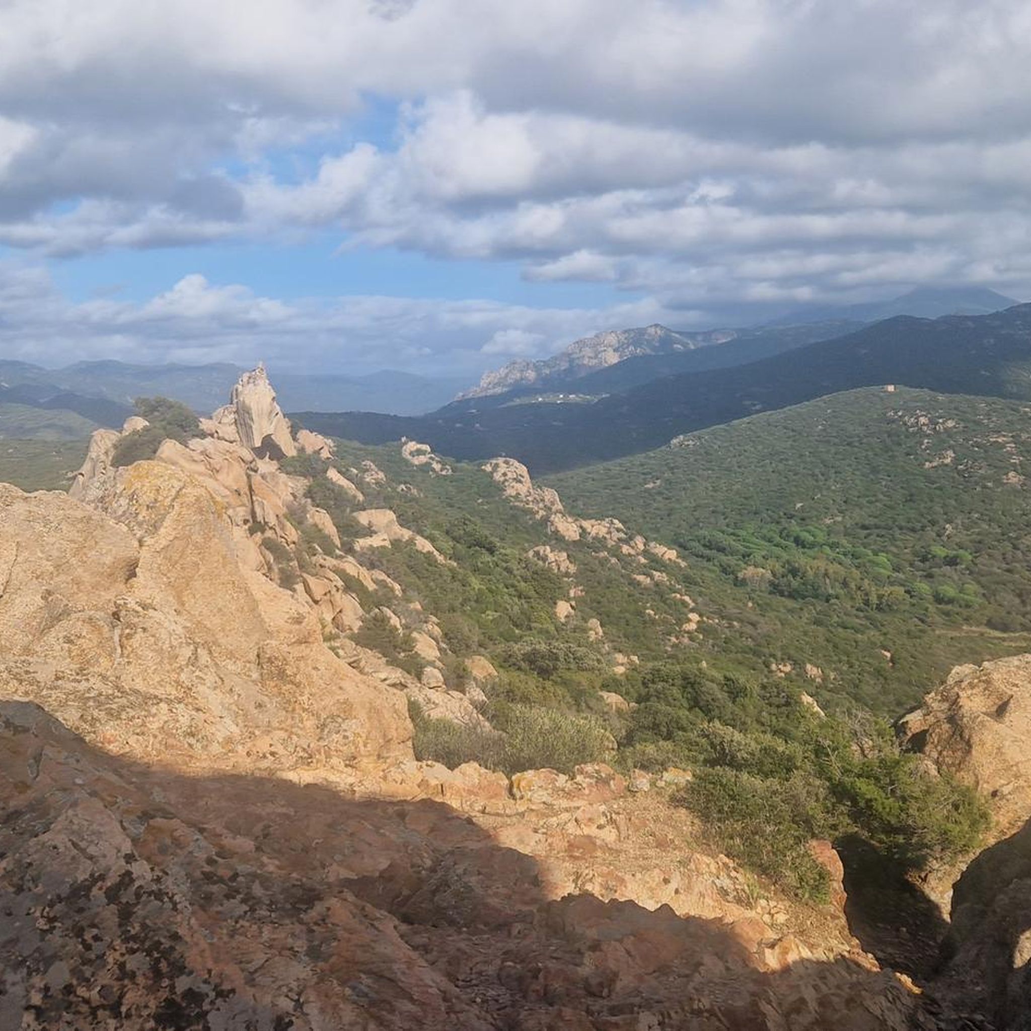
The Puig de l'Àliga, at 464 meters above sea level, is not the highest peak of the Garraf, that honor goes to the Puig de la Mola (534 meters), but it is the highest of the foothills southern parts of the Garraf massif. It forms a natural border between the regions of Alt Penedès and Garraf and is a natural viewpoint of both the Penedès plain and the Garraf coast. At its highest point there is a geodesic vertex, a large cross, and a fire watch tower.
2
0
La Fita dels Tres Termes is a mountain 234 meters high located in the Garraf massif, at the confluence of the municipalities of Vilanova and la Geltrú, Castellet and la Gornal and Cubelles. In its highest part, next to the forest surveillance tower, there is a cairn of mortar, right at the apex of the three municipal boundaries.
5
0

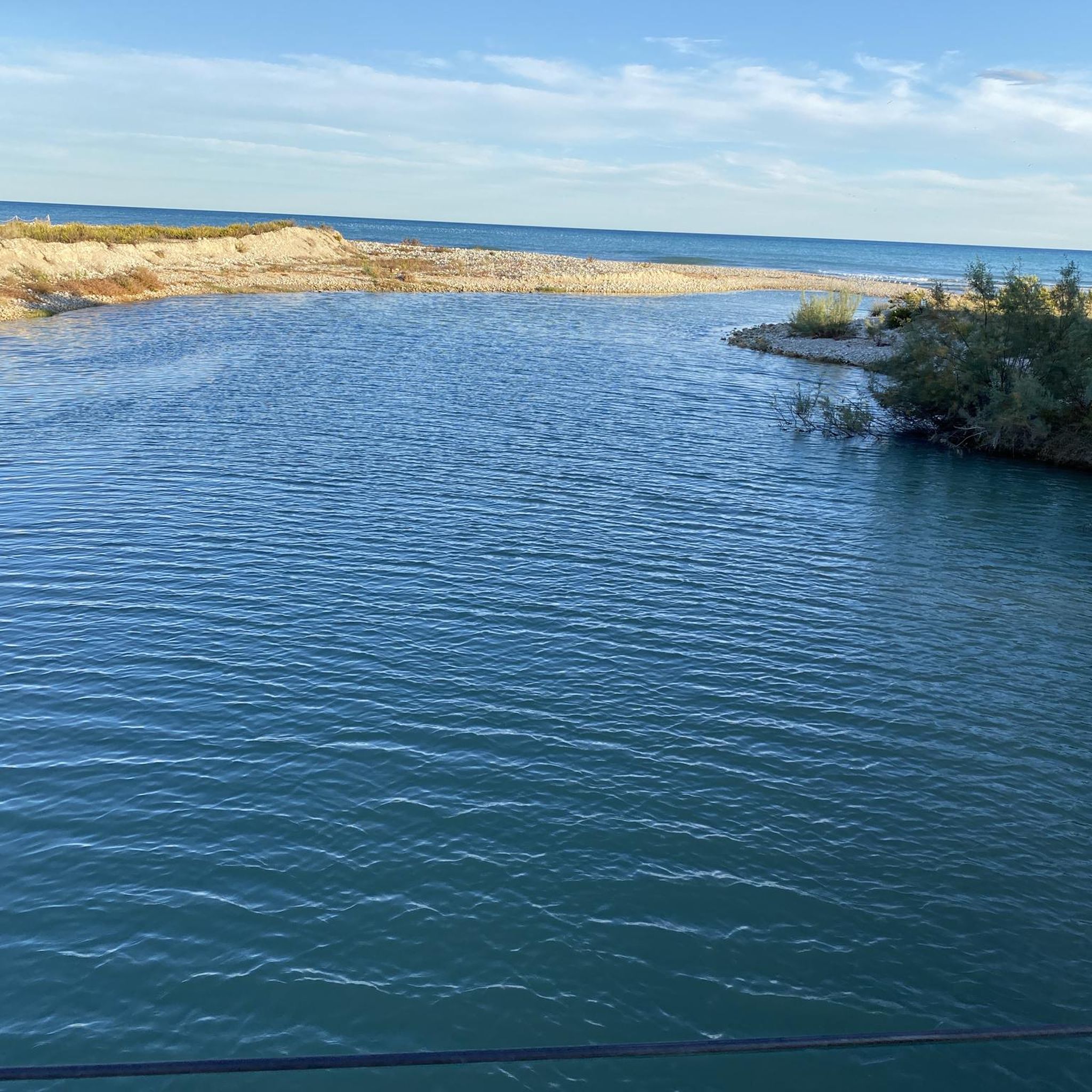
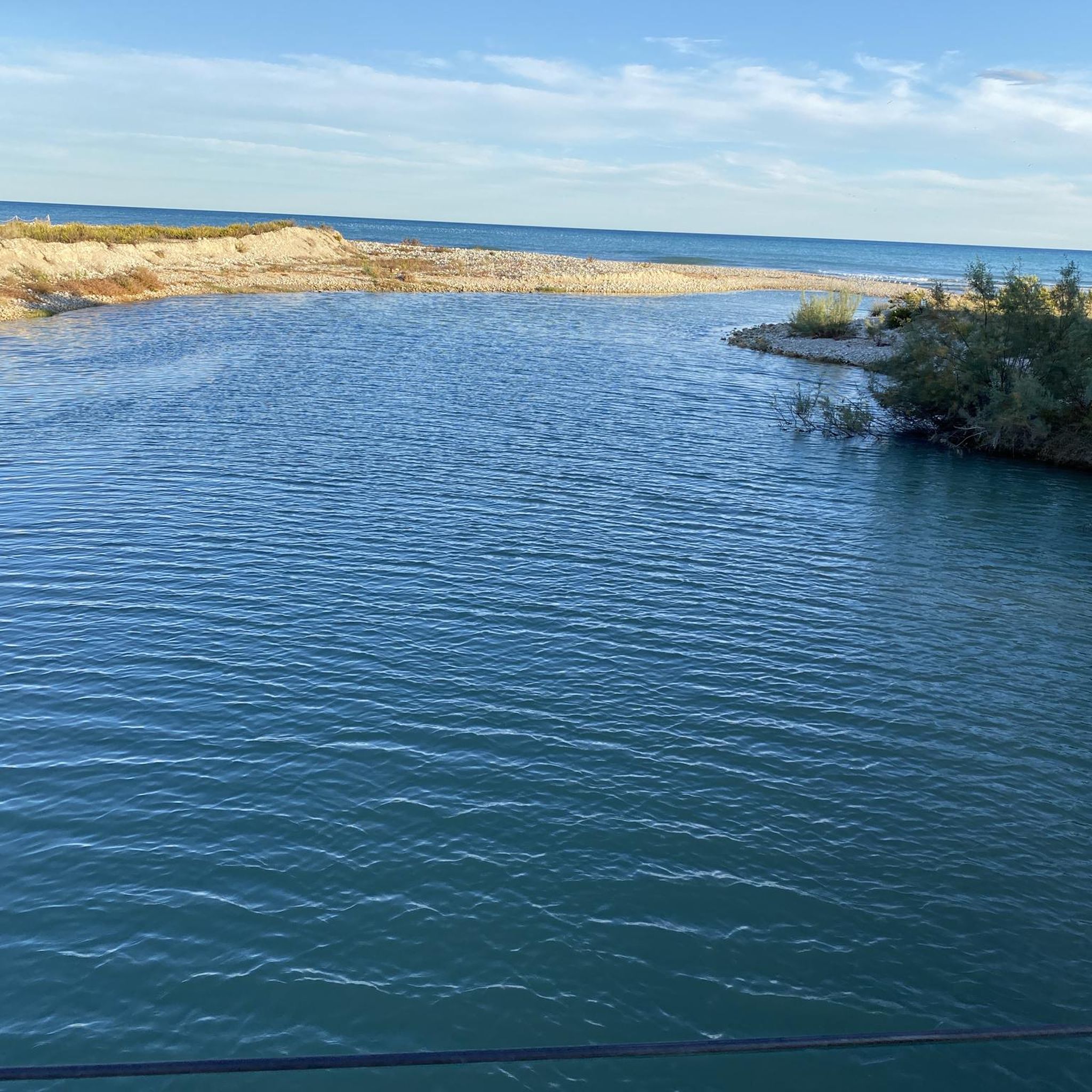
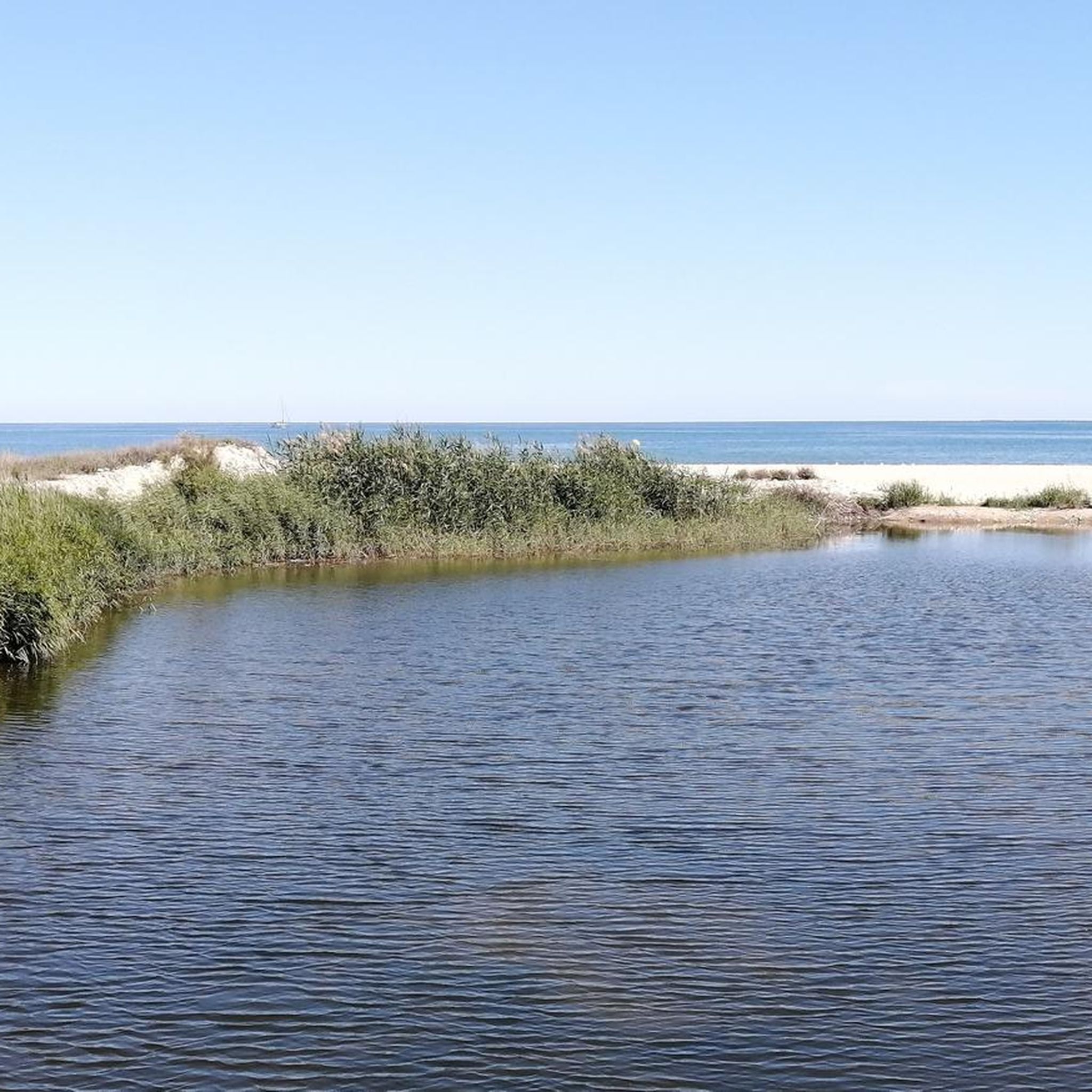
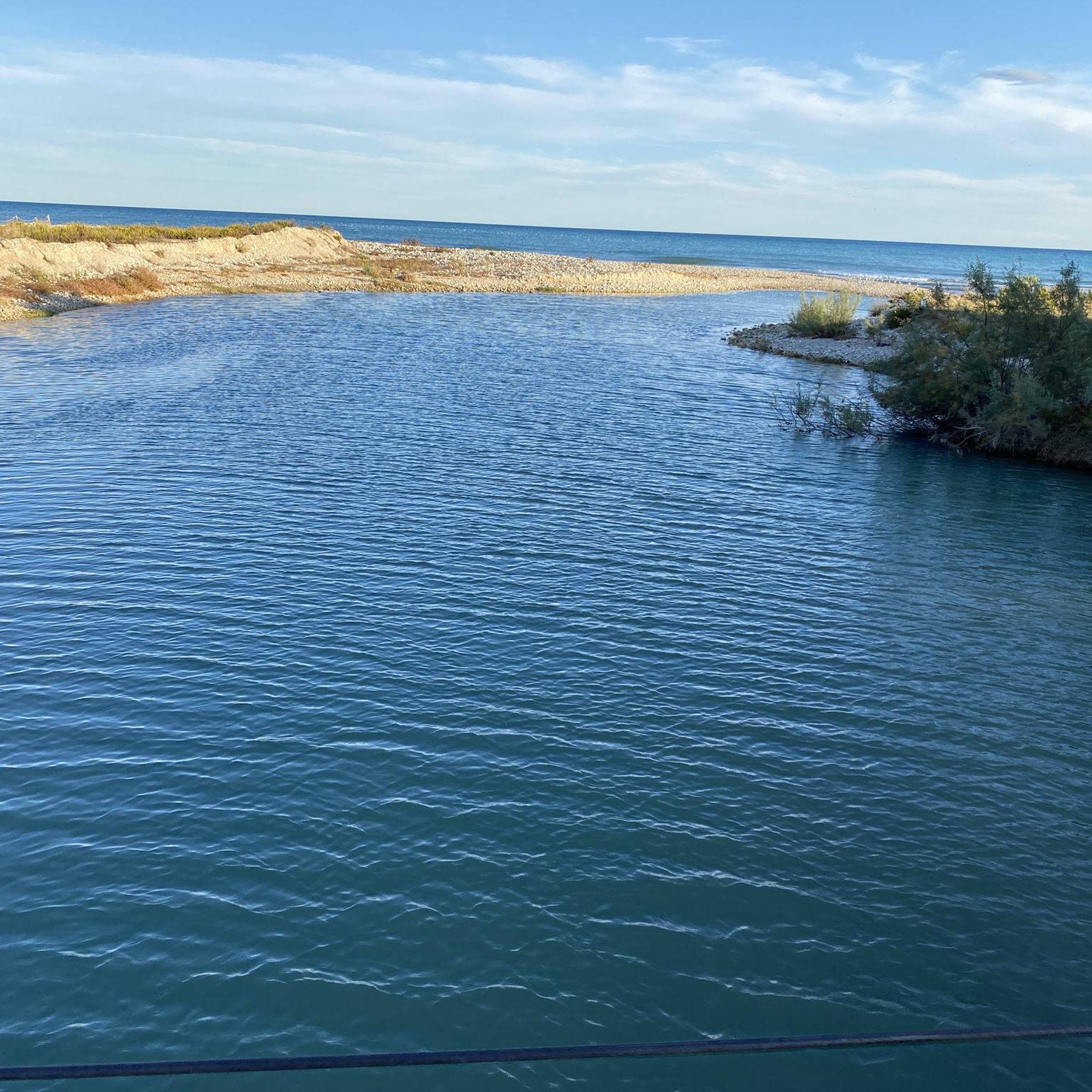
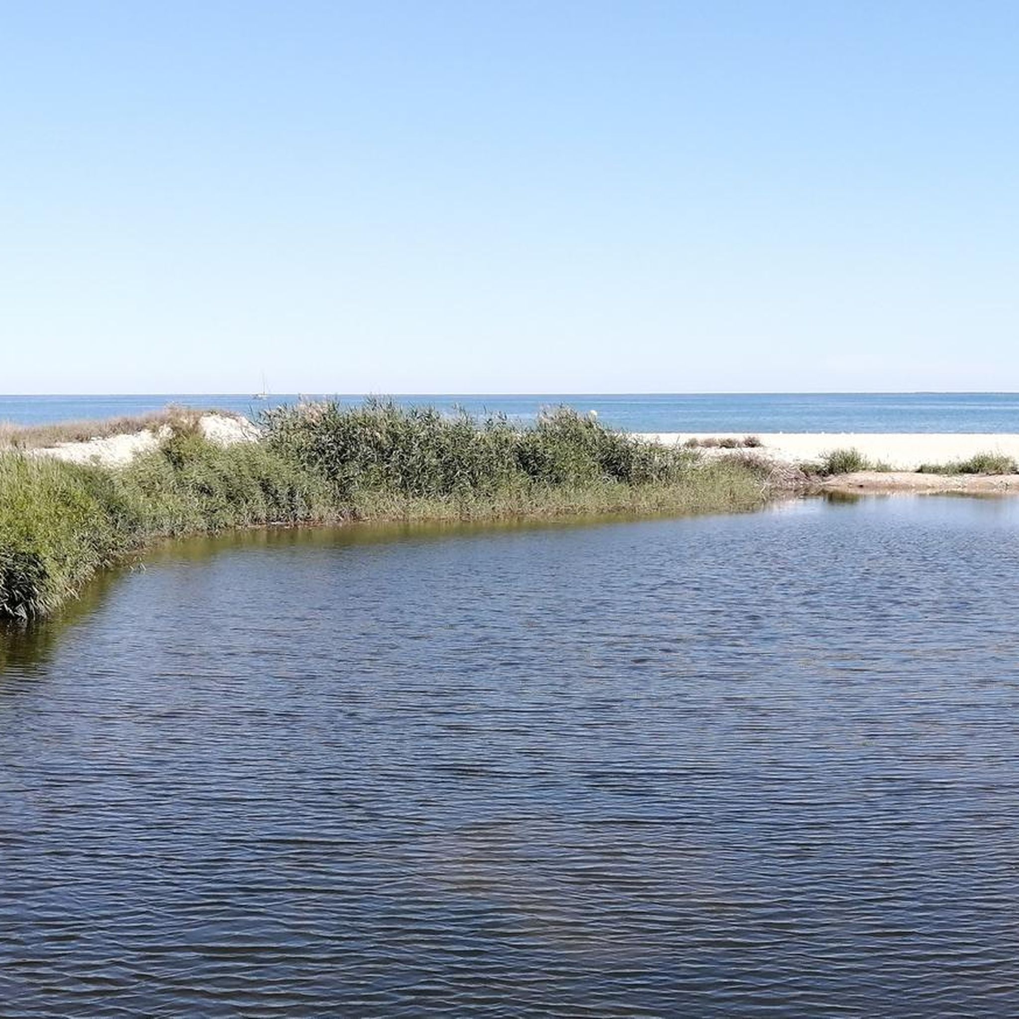
복원된 강 하구는 작지만 예쁜 자연 보호 구역이며, 특히 다양한 조류에게 중요하다고 합니다. 이전에는 이곳에 캠핑장이 있었습니다.
0
0

Necropolis located on the elongated hill located in front of the Olerdolana wall. It is known as Pla dels Albats (relatively modern place name). This name comes from the numerous small and medium-sized tombs corresponding to infants and alabtas (babies who died before receiving the sacraments or having the use of reason) found in the necropolis of anthropomorphic tombs. More than a hundred tombs have been located. The graves are excavated in the rock, they are rectangular in plan, with the head separated from the rest of the body and narrower at the feet. Most feature a socket in the rock itself for the cap. The graves follow the east-west orientation. In the middle of the necropolis are the ruins of a building that has been identified as the remains of the chapel of Santa Maria. Part of the north wall is preserved, with a height close to 3 meters and the west wall, modernly altered. The chapel of Santa Maria and the necropolis must be associated with the population, more or less dispersed, located outside the walls in medieval times. They were already in operation at the beginning of the 10th century. Observations: Archaeological research is very incipient in this sector, its evolution will confirm the exact functionality of the building described, its chronology and the relationship with the remains of another building that can be guessed in the middle of the necropolis.
3
0
Channeled fountain located in the upper part of the bottom of the Seguera, the water flows from a metal faucet fixed on a wall, on which the legend MCMLXV (1975) is written. Under the tap of the fountain there is a small square masonry sink and a concrete shed. A shallow channel carries the water to a small circular pool located a few meters below.
0
0

큐브 주변에서 가장 인기 있는 명소


더 살펴보기
큐브 주변의 최고의 동굴을 찾기 위해 이 가이드를 확인해보세요:
