티네오에서 가장 멋진 9개의 산길
티네오에서 가장 멋진 산길을 아래에서 살펴보세요. 풍경을 감상하기에도 좋고, 오르막길/내리막길을 따라 걷기에도 좋은 곳이랍니다. 커뮤니티가 특별 도움을 통해 공유한 콘텐츠인 만큼 믿을 수 있는 정보이니 마음에 드는 산길이 있다면 바로 다음 모험 계획에 추가해서 바로 방문해보세요.
마지막 업데이트: 10월 18, 2026
Alto de La Marta
하이라이트 • 산악 고개
번역자 Google •
팁에 의해

이런 장소를 발견하려면 지금 가입하세요
최고의 싱글 트랙, 봉우리 및 다양한 흥미로운 야외 장소에 대한 추천을 받아보세요.
빌라욘을 경유한 알토 데 라 마르타 오르막길
하이라이트 (구간) • 산악 고개
번역자 Google •
팁에 의해

Alto de Lavadoira
하이라이트 • 산악 고개
번역자 Google •
팁에 의해

알토 데 라 카사 델 푸에르토
하이라이트 • 산악 고개
번역자 Google •
팁에 의해

무료로 가입하여 티네오 주변의 더 많은 산악 고개를 발견하세요.
이미 komoot 계정이 있나요?
오늘 무료 계정으로 시작하세요
다음 모험이 기다리고 있어요.


커뮤니티 팁


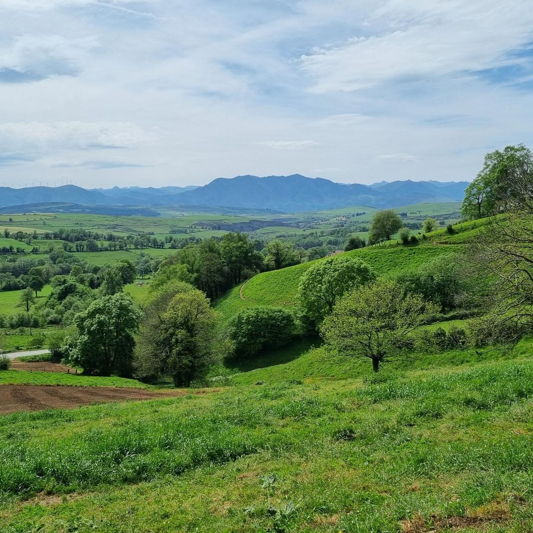
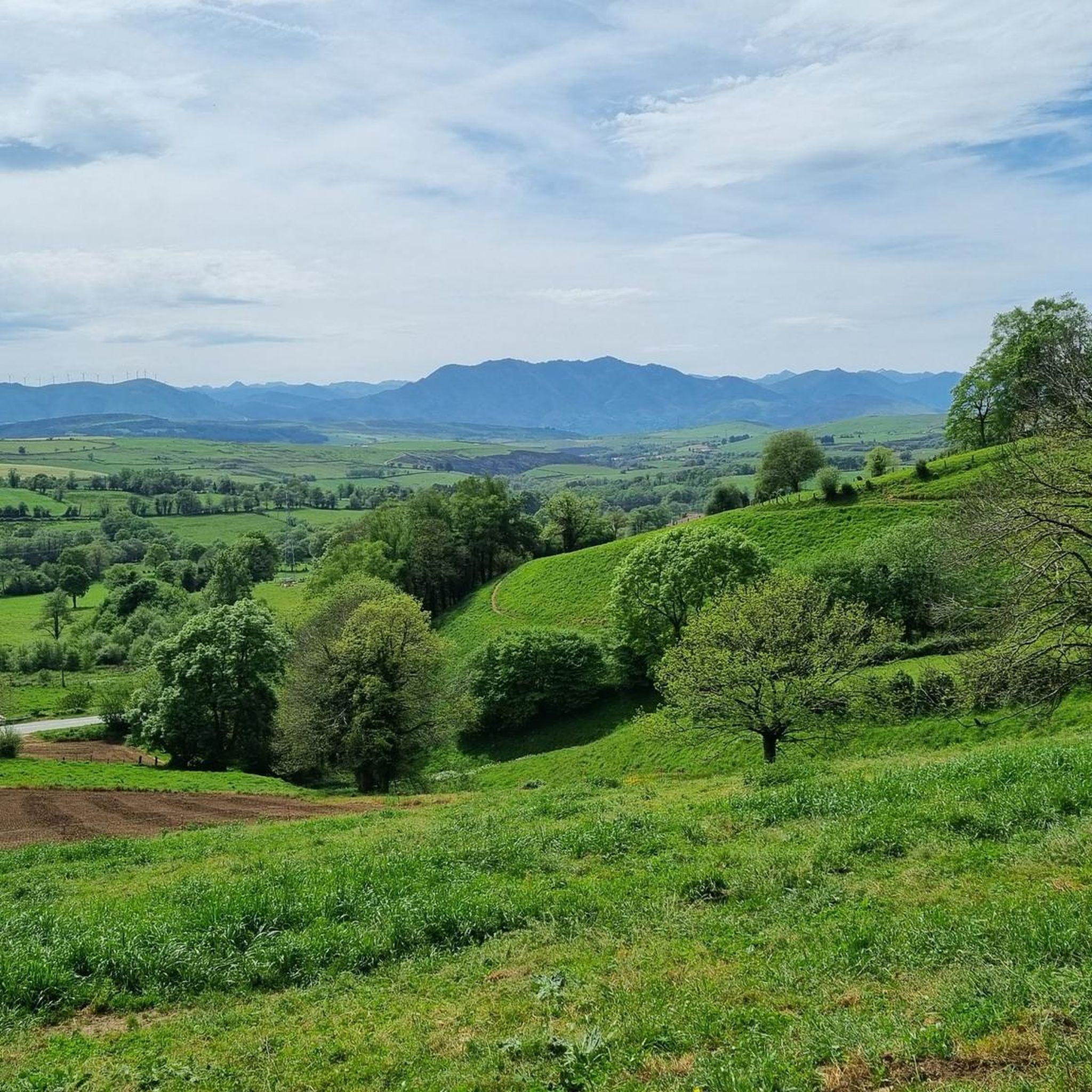
The Alto de la Casa del Puerto via Tineo is one of those passes you conquer without raising your voice. From the first ramps, the road winds over the high meadows of the Sierra de Tineo. The slope that begins in Tineo is compact and honest: about 5 km of ascent with 349 m of vertical gradient, an average gradient of 7%, and the crest at 1,025 m above sea level. Like all passes, it's demanding if you push, but gentle if you pace yourself. To reach the top is to reach a natural balcony. Next to the peak is the Casa del Puerto recreational area, a clearing in the pine forest with tables and a fountain: an ideal place to shelter, stretch, and gaze out. From here, you can see a large part of the municipality of Tineo; On clear days, the Aramo and Ubiña mountain ranges appear, sharply outlined, to the east, green hills towards the coast and, very close, the Pico Gallo mountain range with its wind turbines drawing the horizon.
0
0
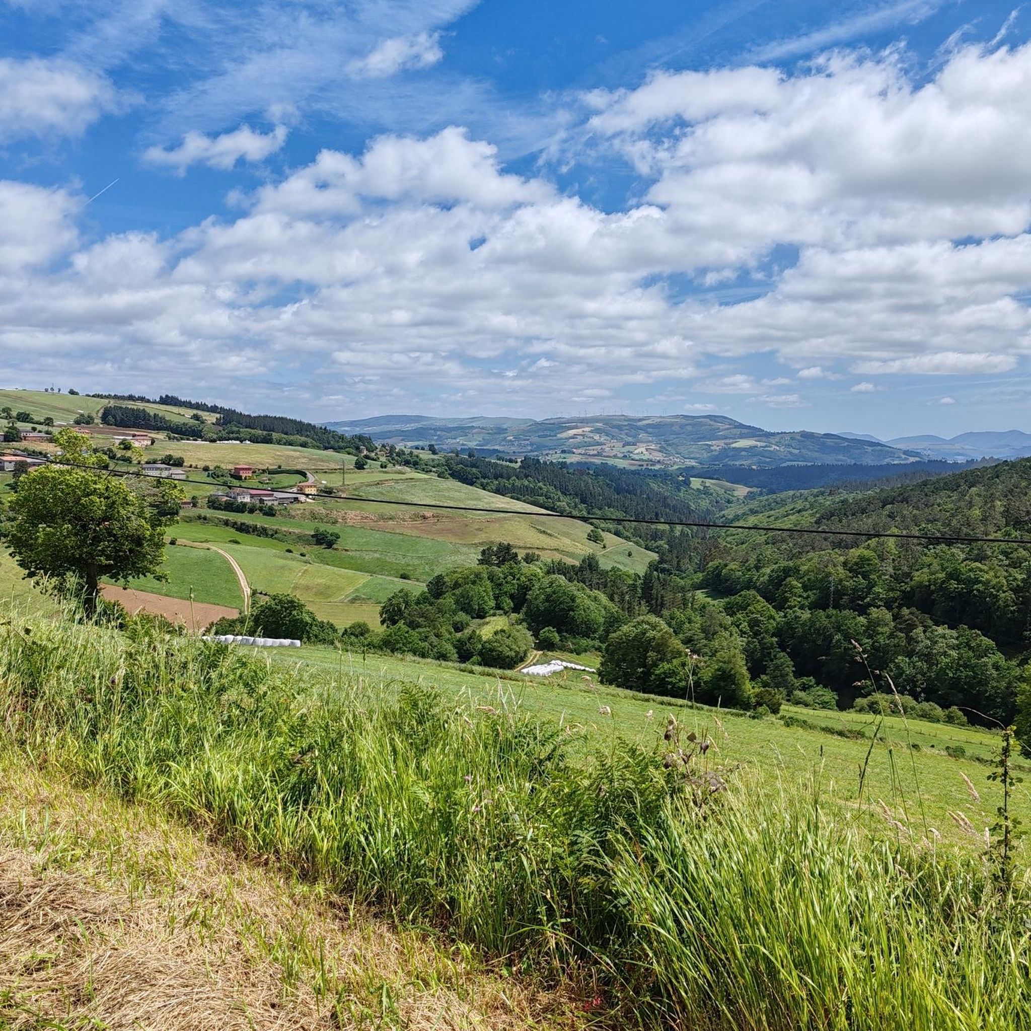
The climb to Alto de Chavadoira on the southern slope, from Pola de Allande, is one of those ascents that best defines the character of western Asturias: narrow roads, mountainous surroundings, a steady gradient, and the feeling of being in a place far from the noise. It's not a mountain pass with impressive numbers, but it is one of continuity. The road itself is in good condition, but its narrowness and the presence of blind curves require caution, especially on the descent. Traffic is almost nonexistent, which enhances the experience, but doesn't eliminate the need to remain alert at all times. In terms of weather, the pass reflects the reality of the Asturian mountains: humidity, fog, and temperature changes are frequent, so it's advisable to always wear appropriate clothing even if the day seems stable at the start. Here's the link to the altimetry published by @cyclingcols.com -- https://www.cyclingcols.com/col/Lavadoira
1
0
It is not too hard or long but it is very enjoyable.
0
0
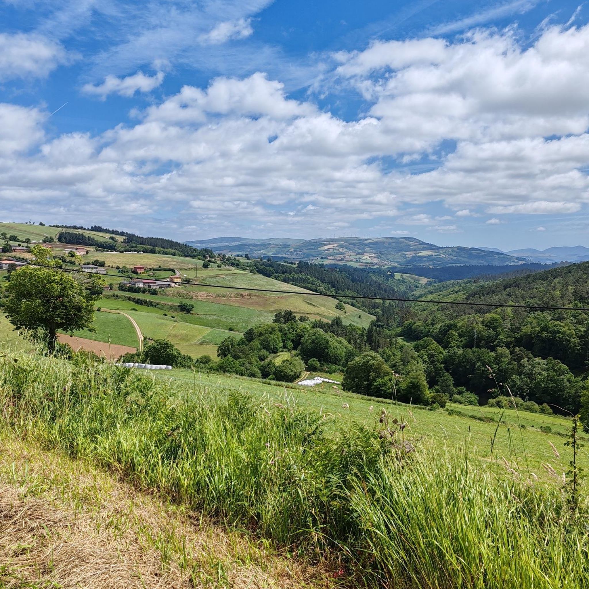
One of the great Asturian mountain passes, without a doubt. Generally unknown to the general public, it's rarely used in professional races. It has two clearly distinct slopes. The southern slope, which begins in Pola de Allande, is gentle and steady, along a road in good condition. It shares much of its climb with Puerto del Palo, which it turns off from just 3 km from the summit of Puerto de la Marta. The northern slope, which comes from Villayon, is uneven, with very tough sections and several rest stops and descents. It reminds me a lot of the Croix-de-Fer from Sant Jean de Maurienne, not because of the landscape, but because of the type of pass.
0
0
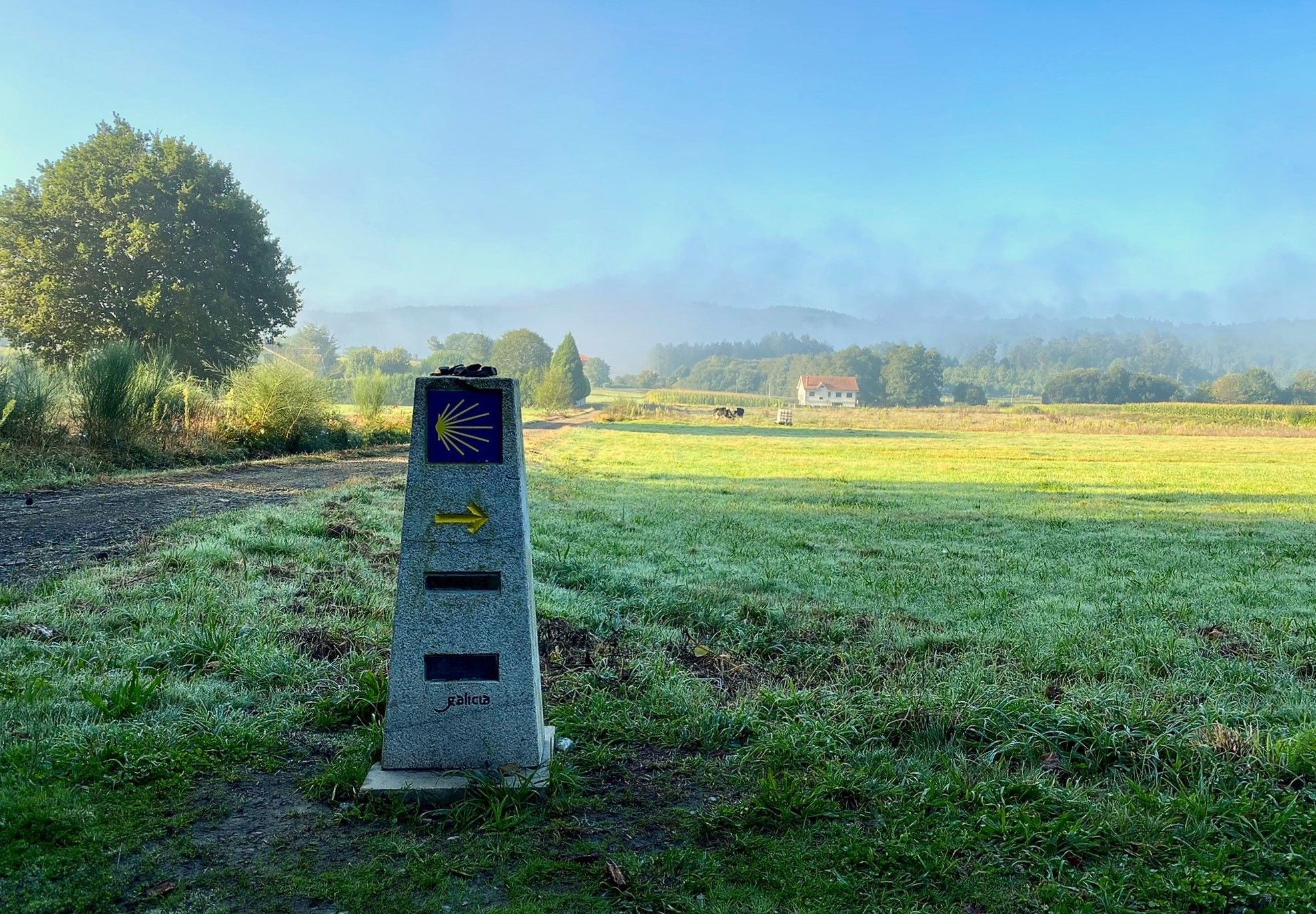
It's one of the major mountain passes in southwestern Asturias. It connects Pola de Allande with Berducedo. It's part of the northern variant of the Camino de Santiago. Highly recommended for its views, whether climbing its two slopes or from its summit.
0
0
티네오 주변에서 가장 인기 있는 경로
티네오 주변에서 가장 인기 있는 명소


더 살펴보기
이 가이드를 통해 더 많은 장대한 산악 통과를 확인해보세요 티네오 주변:
