미라에서 가장 멋진 15개의 천연기념물
천연기념물을 방문하여 미라의 아름다운 풍경을 만나보세요. 미라에 있는 15
개의 천연기념물과 상세 정보를 살펴본 후에 방문하고 싶은 천연기념물을 다음 모험 계획에 추가해보세요!
마지막 업데이트: 9월 7, 2026

미라도르 페냐 아술
하이라이트 • 전망대
번역자 Google •
팁에 의해
이런 장소를 발견하려면 지금 가입하세요
최고의 싱글 트랙, 봉우리 및 다양한 흥미로운 야외 장소에 대한 추천을 받아보세요.
미라도르 오스 델 라보 데 라 사르텐
하이라이트 • 전망대
번역자 Google •
팁에 의해

카브리엘 계곡 전망대
하이라이트 • 전망대
번역문 보기
팁에 의해

오늘 무료 계정으로 시작하세요
다음 모험이 기다리고 있어요.
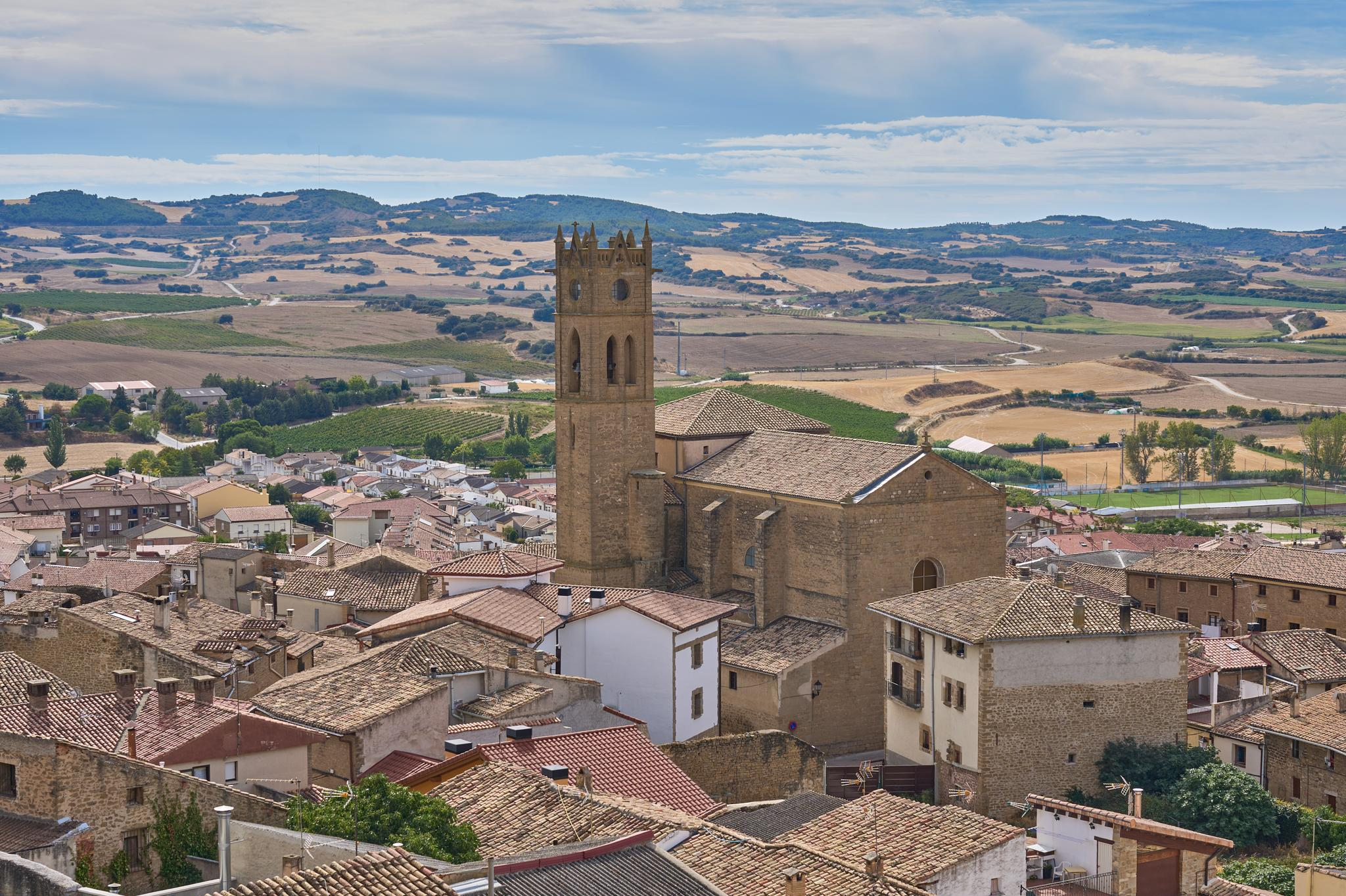
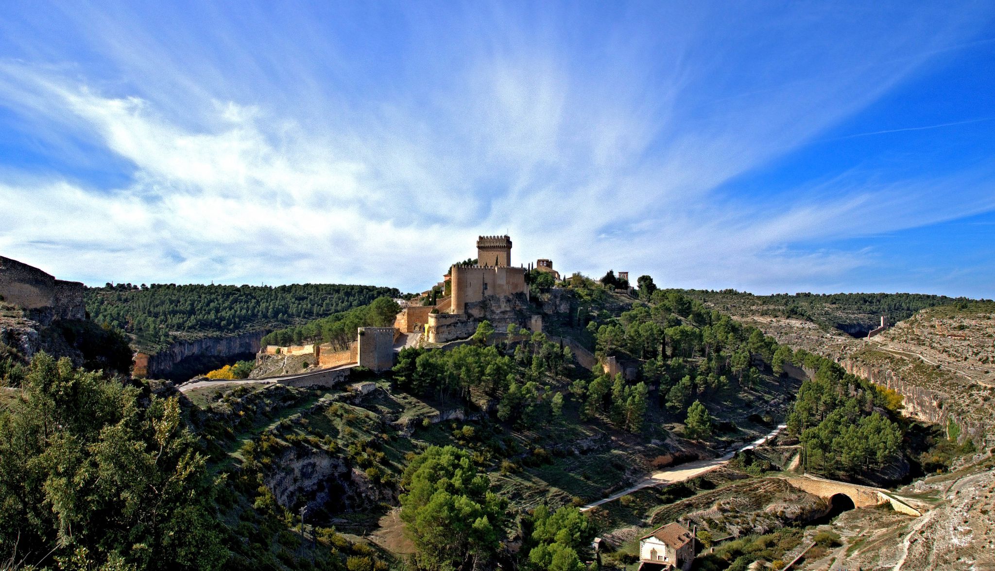
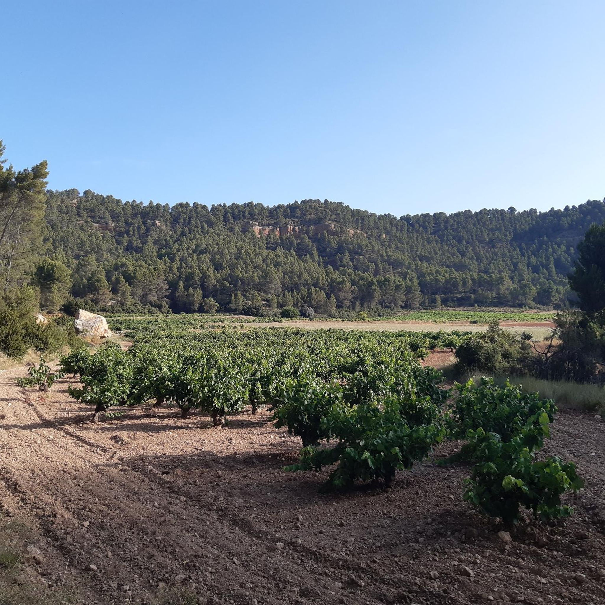
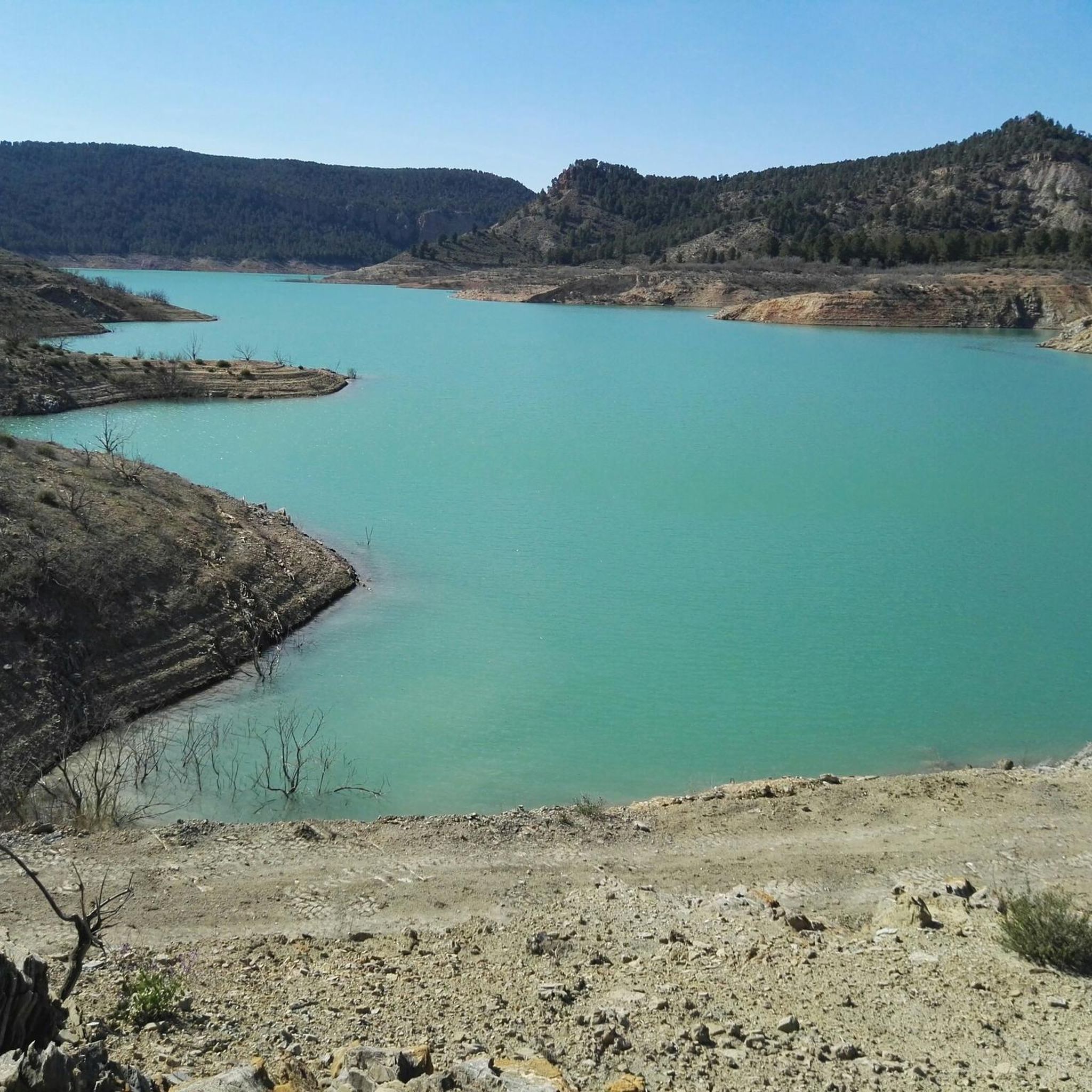

커뮤니티 팁


The Chorreras del río Cabriel in Enguídanos, in the province of Cuenca, are an impressive natural site known for its waterfalls, gorges, rapids and turquoise-blue pools.
2
0

It is a mountain peak located in the vicinity of the Valencian municipality of Villargordo del Cabriel, in the enclave of the Hoces del Cabriel Natural Park, a privileged natural environment that serves as a border with the neighboring region of Castilla – La Mancha. This peak has an altitude of around 1040 m and from its summit it is possible to obtain privileged views of the Sierra del Rubial to which this rocky promontory belongs. The panoramic view offered from this point allows you to see all the towns in the Requena-Utiel region in which this Natural Park is included. Likewise, from the Moluengo peak it is possible to see the depression of the Cabriel River and the neighboring plains of Cuenca. It is possible to go up to the Moluengo peak and cross the privileged natural environment that surrounds it thanks to one of the routes that cross the Hoces del Cabriel Natural Park, known as the yellow route, which starts from the town of Villargordo del Cabriel and leads the traveler to the top of Moluengo. Along this itinerary, which has an extension of 16 km, it is possible to visit places such as the town of Moluengo, the Fonseca viewpoint, the Oliva fountain or the Vadocañas bridge, over the waters of the Cabriel river and which constitutes the point at which the route ends.
0
0

If you go around the Fuente de Oliva counterclockwise (which I recommend), this is the second viewpoint and the first where you can see the Rio Cabriel in the gorges below beautiful cliffs. Continue to the right of the first bench along the cliff, and you will find a second bench and more beautiful views.
1
0

Viewpoint of the Fuente de Oliva route (PR-CV 344) with beautiful views of the gorges of the Cabriel River and its impressive cliffs. The arrival path is completely along a forest track and is a very pleasant and pleasant route with a lot of trees.
0
0

This viewpoint is located on the CV-4661 highway near the Contreras reservoir. From this point we can enjoy the views of Peñablanca (viewpoint located on a large rock) and Los Cuchillos (limestone ridges). You can also distinguish the Cabriel River and the Contreras Dam. The viewpoint has an information panel.
4
1
This wonderful set of waterfalls and natural pools is located on the bed of the Cabriel River, just 5 km from the town of Enguidanos, one of its greatest attractions. An ideal place for the summer although it offers a spectacle worth visiting at any time of the year. Be careful when you travel, the path is narrow and shared with hikers, drive carefully and respect the indications.
1
1
This wonderful set of waterfalls and natural pools is located on the bed of the Cabriel River, just 5 km from the town of Enguidanos. An ideal place for the summer although it offers a spectacle worth visiting at any time of the year. You can shorten the way by parking in the recreational area next to the Guadazaón river.
3
0
미라 주변에서 가장 인기 있는 경로
미라 주변에서 가장 인기 있는 명소


더 살펴보기
미라 주변의 최고의 동굴을 찾기 위해 이 가이드를 확인해보세요:
