칸델레다에서 가장 멋진 6개의 산길
칸델레다에서 가장 멋진 산길을 아래에서 살펴보세요. 풍경을 감상하기에도 좋고, 오르막길/내리막길을 따라 걷기에도 좋은 곳이랍니다. 커뮤니티가 특별 도움을 통해 공유한 콘텐츠인 만큼 믿을 수 있는 정보이니 마음에 드는 산길이 있다면 바로 다음 모험 계획에 추가해서 바로 방문해보세요.
마지막 업데이트: 10월 18, 2026
푸에르토 데 칸델레다
하이라이트 • 산악 고개
번역자 Google •
팁에 의해

Puerto del Peón
하이라이트 • 산악 고개
번역자 Google •
팁에 의해

이런 장소를 발견하려면 지금 가입하세요
최고의 싱글 트랙, 봉우리 및 다양한 흥미로운 야외 장소에 대한 추천을 받아보세요.
포르티야 델 크람폰
하이라이트 • 산악 고개
번역자 Google •
팁에 의해

시에라 데 그레도스
하이라이트 • 자연
번역자 Google •
팁에 의해





커뮤니티 팁

Altitude 2,032 m. The ascent is from the Domingo Fernando platform. This route is of medium-high difficulty, approximately 13 km long and has a 1,000 m elevation gain. Well signposted. The trail dilutes at some points, but you can't get lost.
0
0

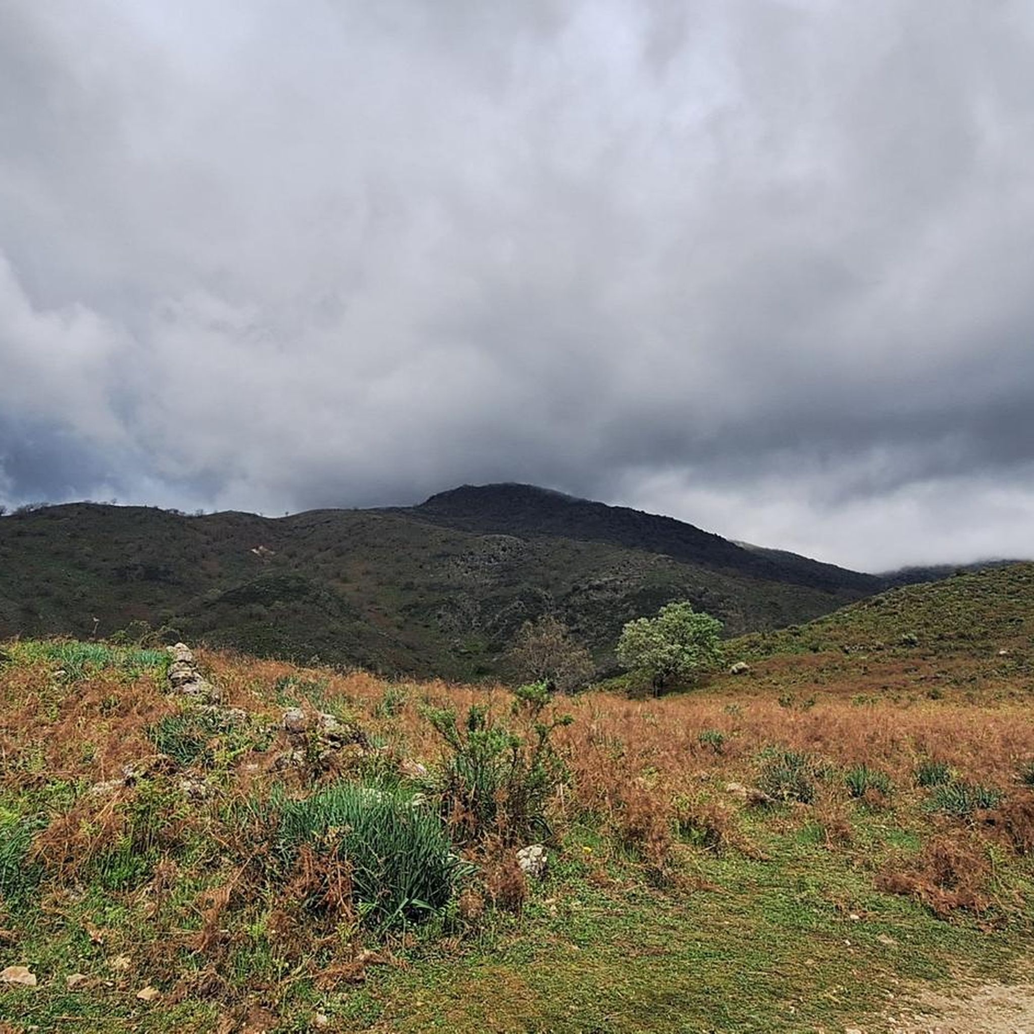
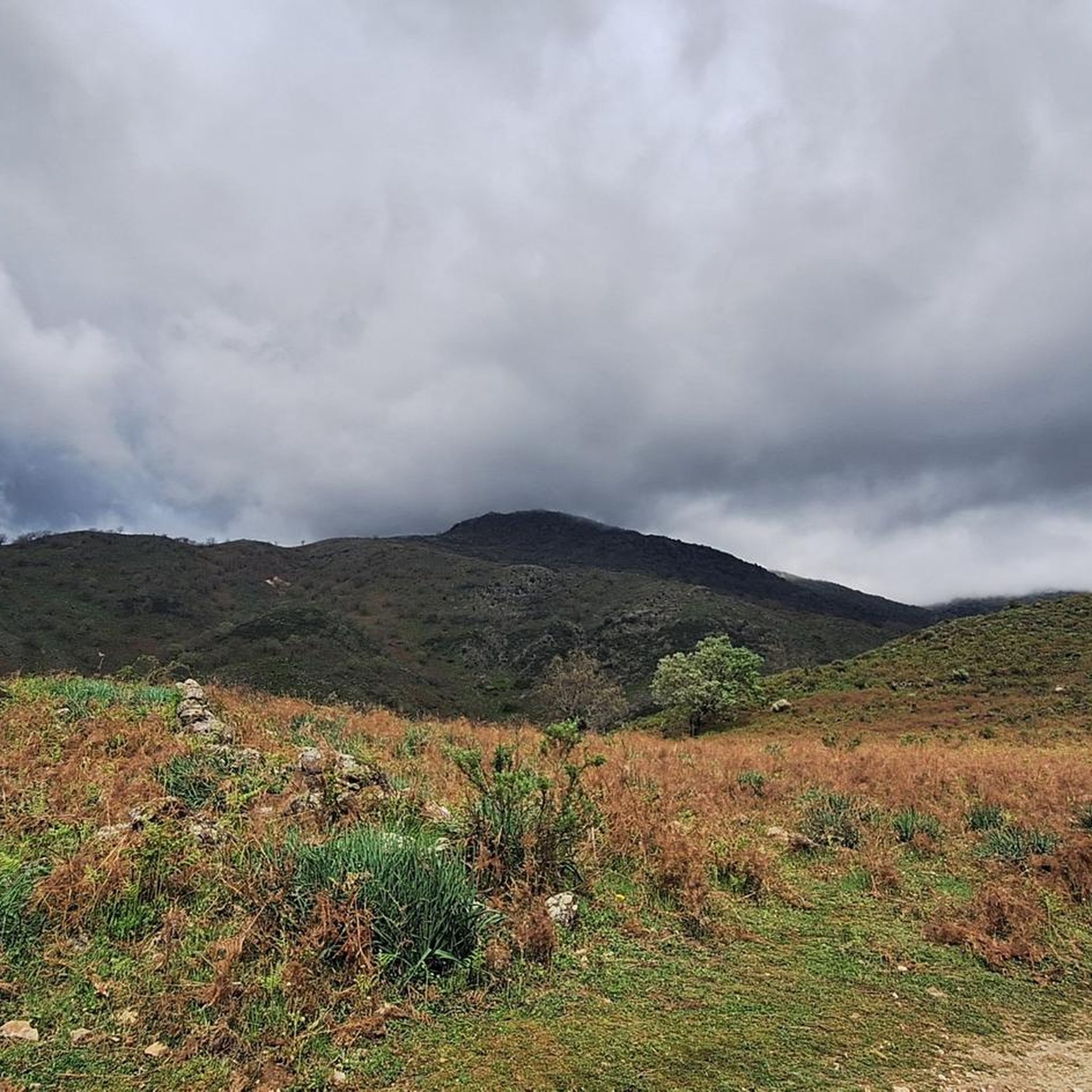
The hiking route to Peón adapts to the contours of the mountain as elevation is gained. Incredible sense of awe at this mountain range and its views.
0
0
At 2,028 meters above sea level, this pass provides the strong and brave with a spectacular panoramic view and a hiking experience in the Sierra de Gredos Regional Park.
1
0

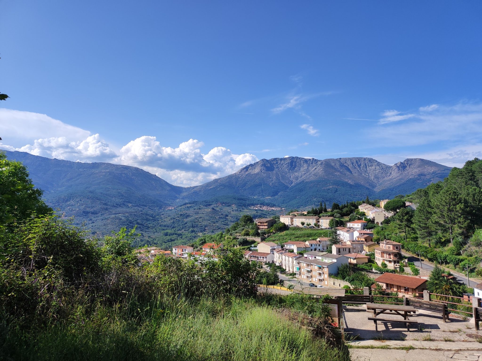
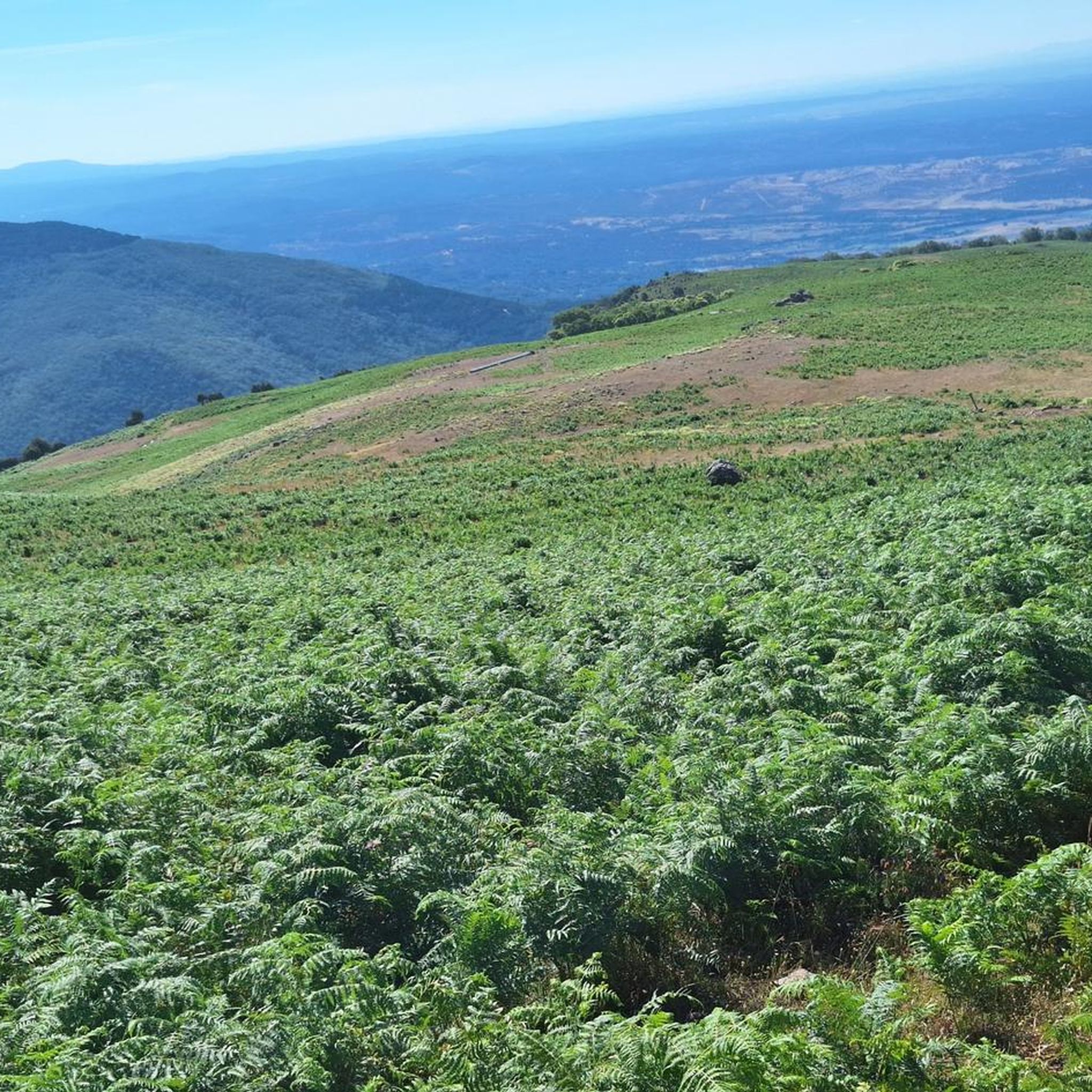
The Port of Candeleda is a natural balcony with impressive views of the Tiétar Valley and the southern slope of Gredos.
1
0

Mountain pass that is located at the top of the Sierra de Gredos and that separates the Valle del Tiétar and the Valle del Río Tormes. Beautiful views from the top!
0
0
In this part of the Sierra de Gredos, more specifically on the northern side of the mountain range, we are shown some beautiful slopes full of fauna and flora. The road takes you to the heart of the natural park where it is always a pleasure to cycle through these valleys.
0
0

The Candeleda Pass is an easy route within the Sierra de Gredos Regional Park with views towards the Tiétar Valley.
11
0

You can find good routes through the port of Candeleda
1
5
칸델레다 주변에서 가장 인기 있는 경로
칸델레다 주변에서 가장 인기 있는 명소


더 살펴보기
이 가이드를 통해 더 많은 장대한 산악 통과를 확인해보세요 칸델레다 주변:
