앗제네타 델 마에스트라트에서 가장 멋진 5개의 산길
앗제네타 델 마에스트라트에서 가장 멋진 산길을 아래에서 살펴보세요. 풍경을 감상하기에도 좋고, 오르막길/내리막길을 따라 걷기에도 좋은 곳이랍니다. 커뮤니티가 특별 도움을 통해 공유한 콘텐츠인 만큼 믿을 수 있는 정보이니 마음에 드는 산길이 있다면 바로 다음 모험 계획에 추가해서 바로 방문해보세요.
마지막 업데이트: 9월 7, 2026

포르트 델 콜라우(콜 델 비드레)
하이라이트 • 산악 고개
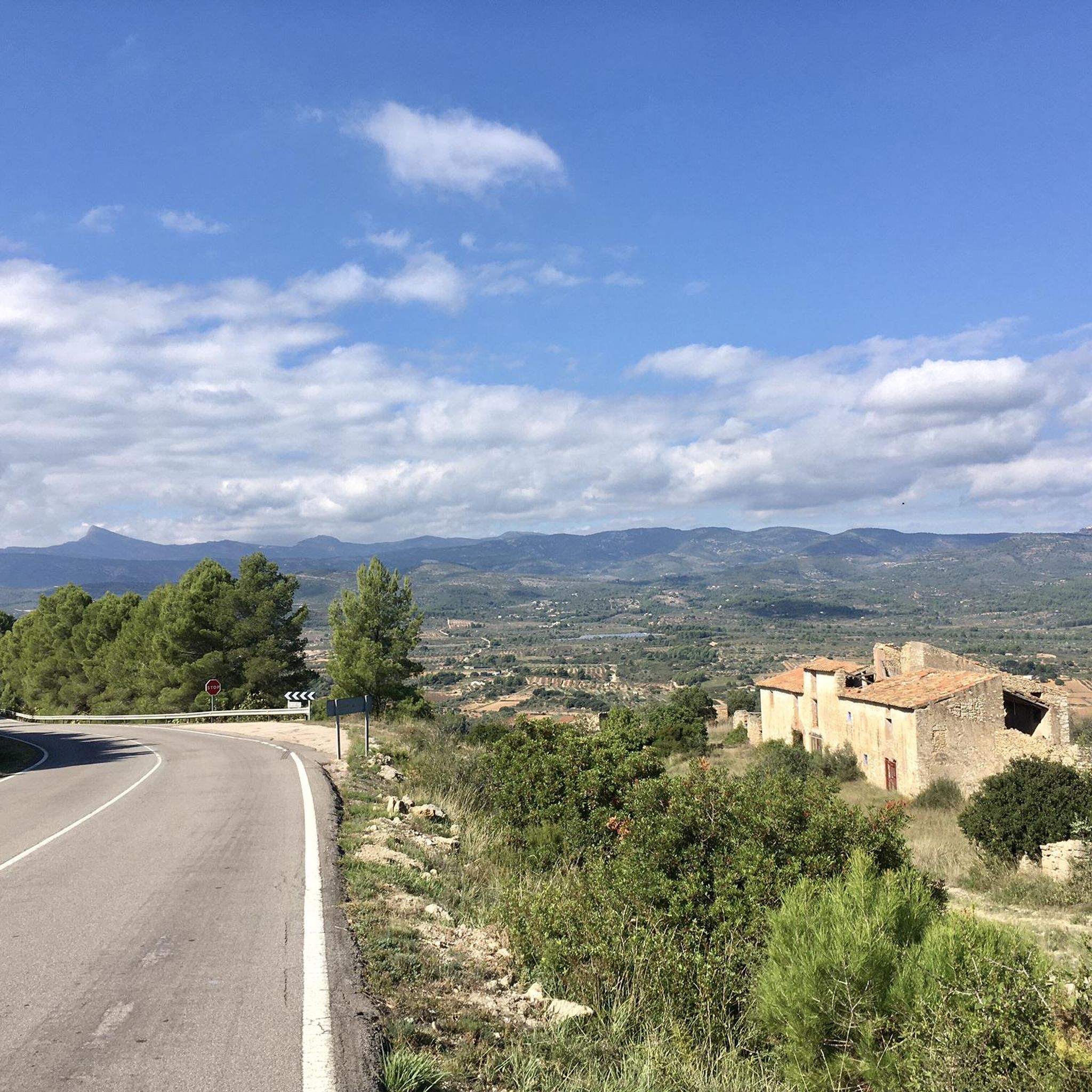
In the classic cycling stage of going up to Vistabella (a stone's throw from the sky), you always have to return to Atzeneta tasting the Vidre from behind. Fortunately, …
번역자 Google •
팁에 의해

이런 장소를 발견하려면 지금 가입하세요
최고의 싱글 트랙, 봉우리 및 다양한 흥미로운 야외 장소에 대한 추천을 받아보세요.
푸에르토 데 소도스 / 초도스 (아트세네타 방면)
하이라이트 (구간) • 산악 고개
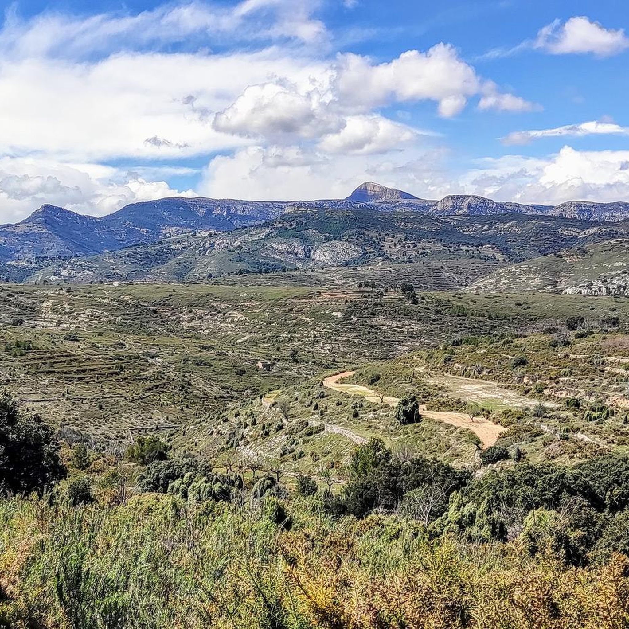
The port that goes up to Xodos/Chodos is one of the great colossi of the province of Castellón, with its more than 16 kilometers in length and almost 700 …
번역자 Google •
팁에 의해
콜 데 라 바사 (아체네타 방면)
하이라이트 (구간) • 산악 고개
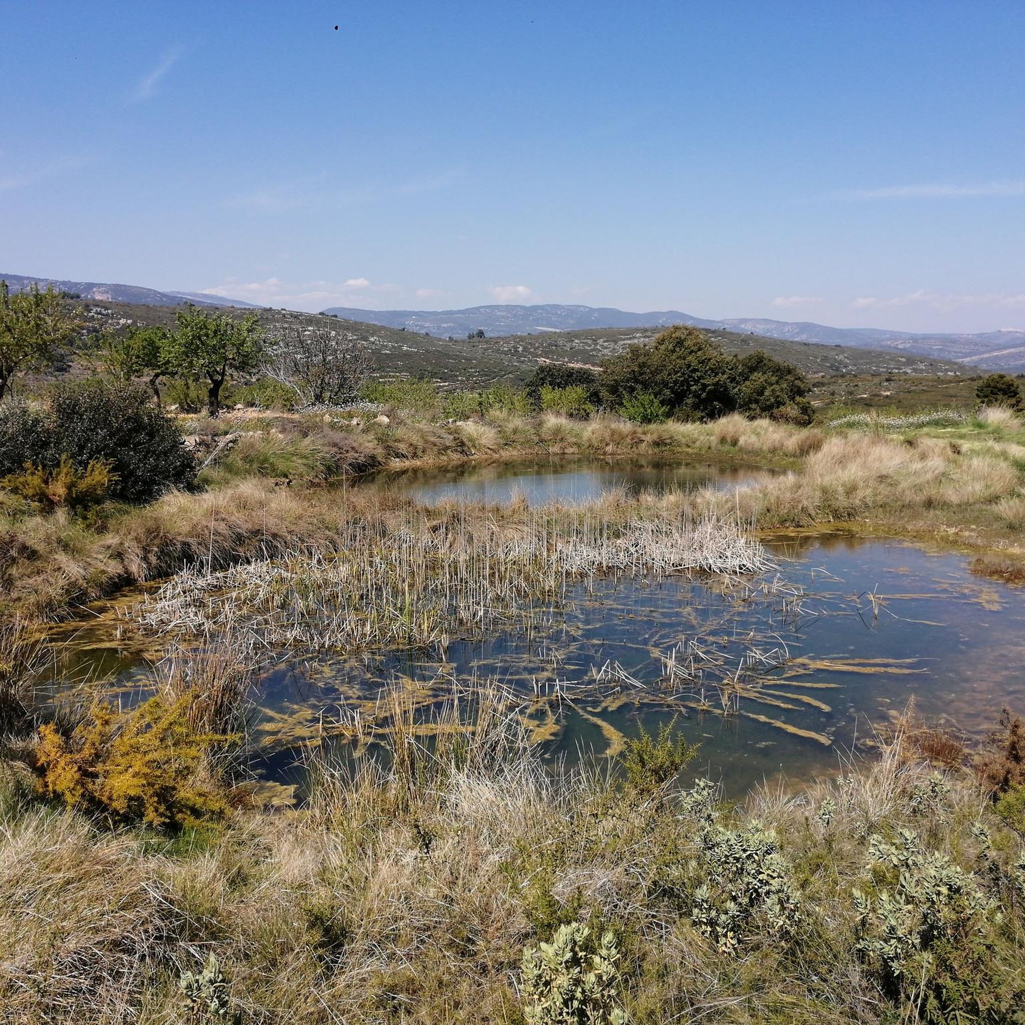
Leaving from Atzeneta in the direction of La Pelejaneta we find the Coll de la Bassa, a tack of only 2 km that culminates in the parched pond at …
번역자 Google •
팁에 의해
알토 마스 데 라 코스타
하이라이트 (구간) • 산악 고개
번역자 Google •
팁에 의해
오늘 무료 계정으로 시작하세요
다음 모험이 기다리고 있어요.

커뮤니티 팁

짧지만 매우 힘든 오르막으로, 그 힘듦에 아마 놀라게 될 것입니다. CV-15 교차로까지 이어지는 초기 구간부터 힘든 경사로를 오르기 시작할 것이며, Rosildos 마을을 지나 교회 주변을 돌아 Mas de Cervera로 향하는 거리를 찾을 것입니다. 그곳에서 Serra Engarcerán으로 가는 "주요" 도로와 연결될 것입니다. 조금 더 나무가 많은 지역에 도착하면 짧은 휴식을 발견하겠지만, 방심하지 마십시오. 왼쪽으로 커브를 돌고 나무가 사라지면 오르막의 가장 힘든 구간을 만나게 될 것입니다. 이곳에서는 500m 구간에서 최대 16%의 경사가 나타나며, 10% 이하로 떨어지지 않습니다. 조금 더 쉽게 끝낼 수 있겠지만, 의심할 여지 없이 이 오르막은 우리를 기쁘게 놀라게 할 것입니다.
0
0

La Plana Alta에는 여러 도로 고개가 있지만, 이곳은 의심할 여지 없이 가장 그림 같은 곳 중 하나입니다. 여러 방향에서 도로를 이용하거나 자갈길의 일부 변형 코스를 이용해 도달할 수 있습니다.
4
0
One of the most picturesque ports in the Plana Alta. Very beautiful landscapes rolling on asphalt in perfect condition and practically without traffic. It is short but intense and depending on where you attack it from, the slopes will be more abrupt.
3
0
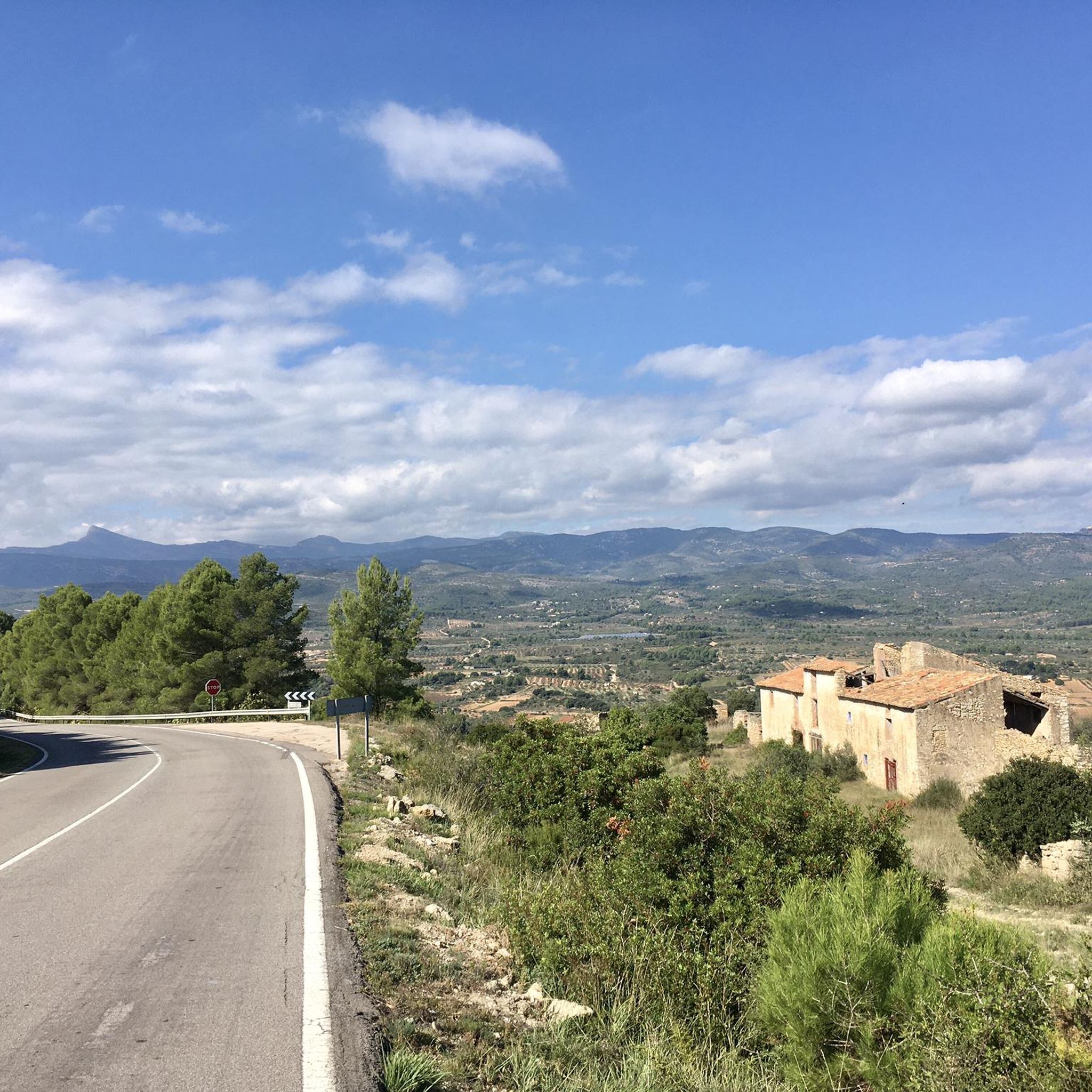
With an average slope of 12.4% to reach an altitude of 942 meters above sea level, it has undoubtedly earned the title of the hardest mountain pass in the province of Castellón. The surface from the road detour is concrete and can be quite rough in sections with a saw, so it is better to be careful, especially going down. Climbing to the Alto del Mas de la Costa is a tough and demanding challenge with the reward of spectacular views throughout the journey.
1
0


https://www.dandolotodo09.com/2018/07/puertos-la-bassa-por-atzeneta-apm-15.html Leaving from Atzeneta in the direction of La Pelejaneta we find the Coll de la Bassa, a tack of only 2 km that culminates in the parched pond at the top that gives the port its name. The road is fairly firm but with little shoulder for cyclists. With a single powerful ramp at 9% maximum slope. A classic on the way back from the Vistabella stage.
1
0
https://www.dandolotodo09.com/2021/09/puertos-xodos-chodos-por-atzeneta-apm.html The port that goes up to Xodos/Chodos is one of the great colossi of the province of Castellón, with its more than 16 kilometers in length and almost 700 meters of accumulated ascent. We have waited a long time to visit it, but the ascent was worth it. Our journey begins in the town of Atzeneta del Maestrat. Very wide asphalt road in perfect condition, a paradise for bikers who trace the curves as if they were on a circuit. Shadows there is not one. It is the port of the 5 peaks, which gives an idea of what breaks we do have during its ascent. Between peaks 2 and 3 we have 5 very constant kilometers, where the slope rarely drops below 6%. Speaking of slopes, the maximum is around 10-11% and is reached at various points in the port. Arriving at the town of Xodos, the landscape opens up and we can contemplate one of the most beautiful pictures of the province, with the town perched on a cliff and the Gegant de Pedra el Penyagolosa to its left. To reach the highest point (1,103 meters above sea level) you have to cross the town and climb almost 1 kilometer more along a narrower and somewhat rougher road. The other side of the port runs along the aforementioned road and ends at the beginning of the Port of Vistabella, which is now called Coll del Vidre on the plates.
0
0
https://www.dandolotodo09.com/2018/12/puertos-el-collao-vidre-por-vistabella.html In the classic cycling stage of going up to Vistabella (a stone's throw from the sky), you always have to return to Atzeneta tasting the Vidre from behind. Fortunately, the north face is much shorter than the main south slope that climbs from Atzeneta. On the north face we find a port of just over 3 km, with constant slopes and some hairpin bends. It tends to be harder than it really is because one always arrives cold after the Vistabella break. The nomenclature of the port was always the Vidre, it has recently been renamed Port del Collao, as the new plaques attest. Formerly there was a plaque with a graffiti that marked it as Coll de la Xaparra, because near the top there is a Farmhouse and a ravine with the same name.
2
1


