베나라바에서 가장 멋진 14개의 천연기념물
천연기념물을 방문하여 베나라바의 아름다운 풍경을 만나보세요. 베나라바에 있는 14
개의 천연기념물과 상세 정보를 살펴본 후에 방문하고 싶은 천연기념물을 다음 모험 계획에 추가해보세요!
마지막 업데이트: 10월 17, 2026
푸엔테 데 로스 알레마네스
하이라이트 • 다리
번역자 Google •
팁에 의해

푸에르토 데 라스 비냐스
하이라이트 • 산악 고개
번역자 Google •
팁에 의해
이런 장소를 발견하려면 지금 가입하세요
최고의 싱글 트랙, 봉우리 및 다양한 흥미로운 야외 장소에 대한 추천을 받아보세요.
리오 오스가르간타 수영장
하이라이트 • 강
번역자 Google •
팁에 의해

세라노 데 론다 산맥(라스 마자다스)
하이라이트 • 숲
번역자 Google •
팁에 의해

Mirador de Nicola Alta
하이라이트 • 전망대
번역자 Google •
팁에 의해

무료로 가입하여 베나라바 주변의 더 많은 자연 기념물을 발견하세요.
이미 komoot 계정이 있나요?
오늘 무료 계정으로 시작하세요
다음 모험이 기다리고 있어요.

커뮤니티 팁

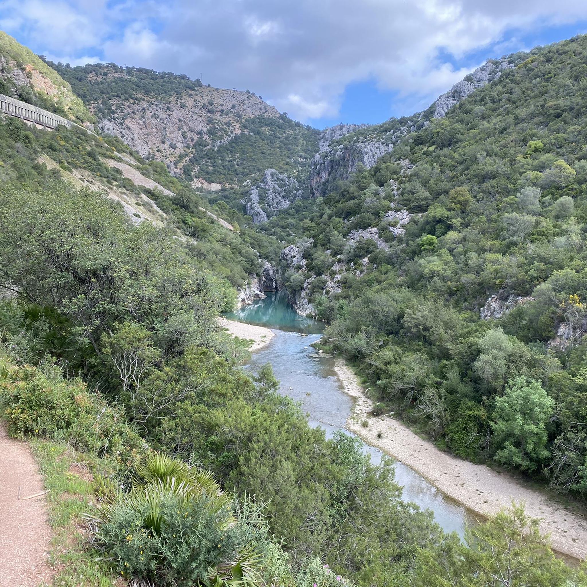
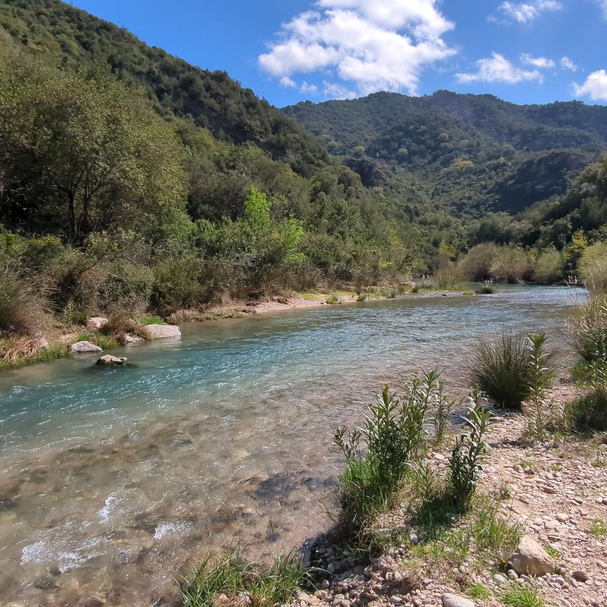
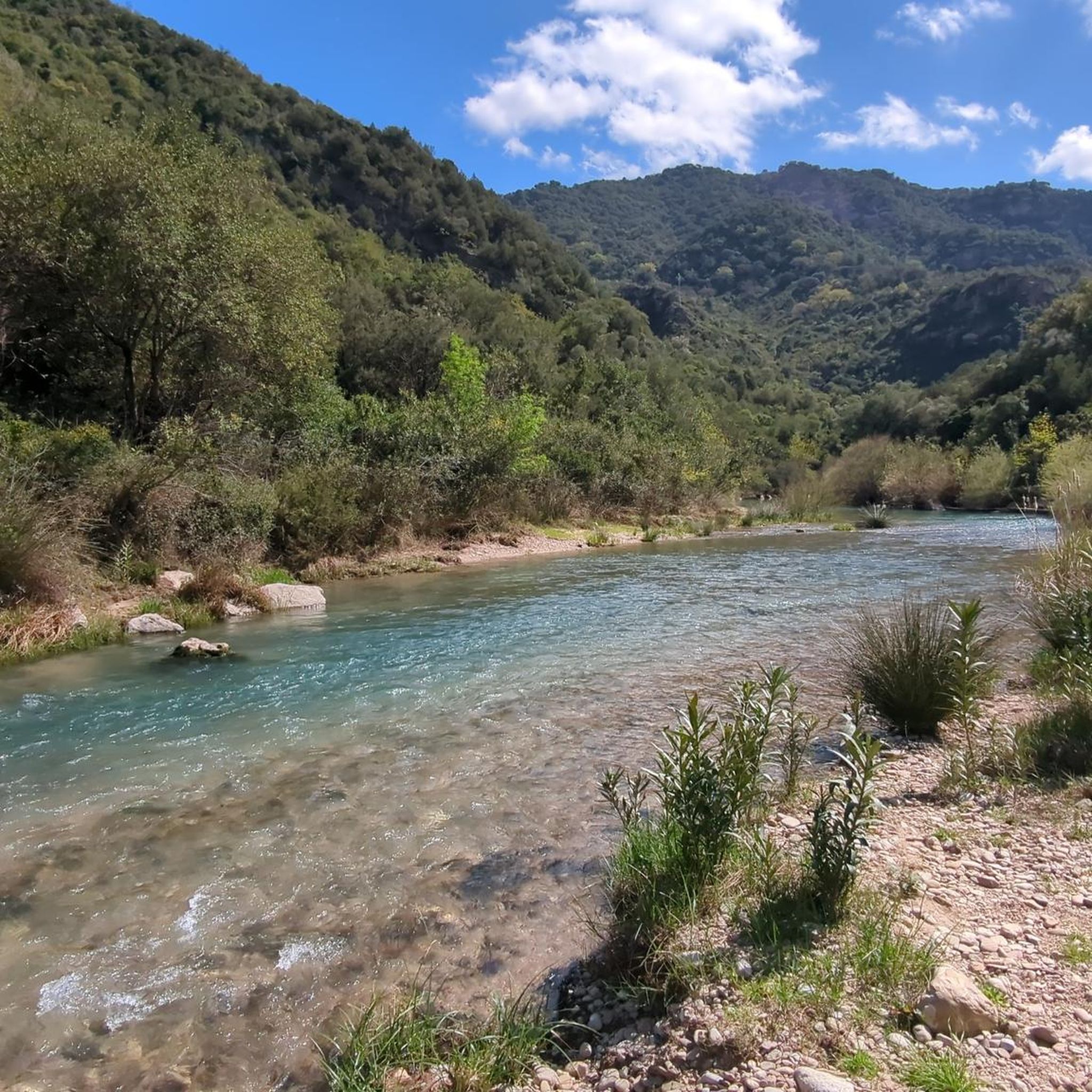
Beautiful access to the river and a large "pebble beach" for lying down. From here you can swim into the gorge. Fantastically clear water with lots of fish. Access via the hiking trail is very easy and can be done by almost anyone. Certainly the highlight of this hiking trail.
0
0

In this area of the mountains you will have the opportunity to contemplate the presence of cattle among holm oaks and cork oaks. It is possible that throughout your journey you will have to cross cattle fields that are accessed through a gate, if this is the case, remember to close it after you pass.
0
0

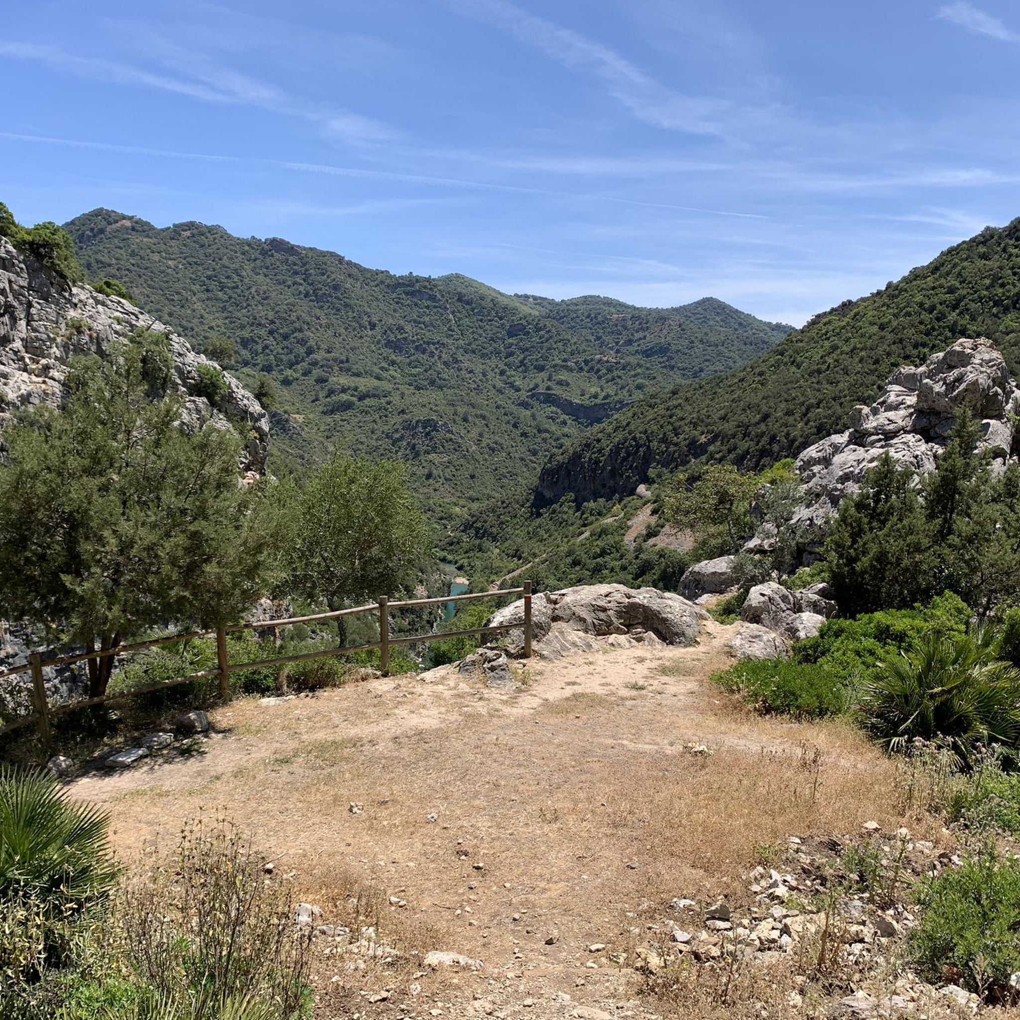
The route from Casares to the Puerto de las Viñas farm is a popular itinerary in the area and rightly so. A beautiful and quiet landscape surrounds it and at the end, after a few meters from the farm you will have beautiful panoramic views.
1
1

Part of the "Artesa-Altabacales" circuit passes through the Nicola area and this point is a privileged viewpoint. The virgin appearance of these forests is almost surprising considering the urban mass of the coast.
2
0

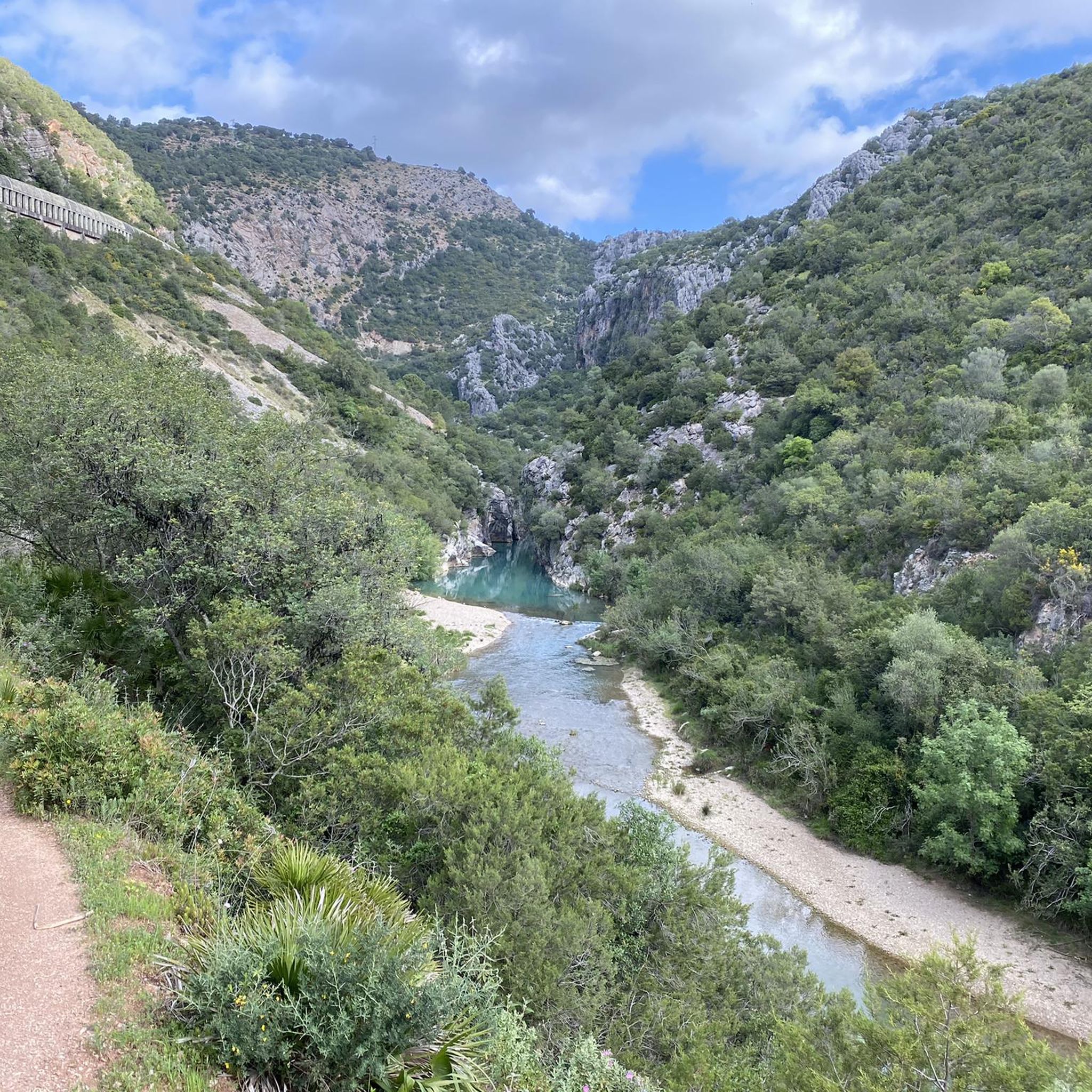
The true essence of this place is not located in the bridge but in the spectacular views that it offers. This 1918 construction is located between two walls of the Buitreras canyon, an impressive ravine that reaches 225 vertical meters at its highest point. Thus, from here you can see the Guadiaro River in the background, running between the narrow limestone walls that make up this incredible landscape. As for the bridge, it is actually a conduit two meters in diameter and six kilometers long that carries water to the Buitreras hydroelectric plant.
0
2
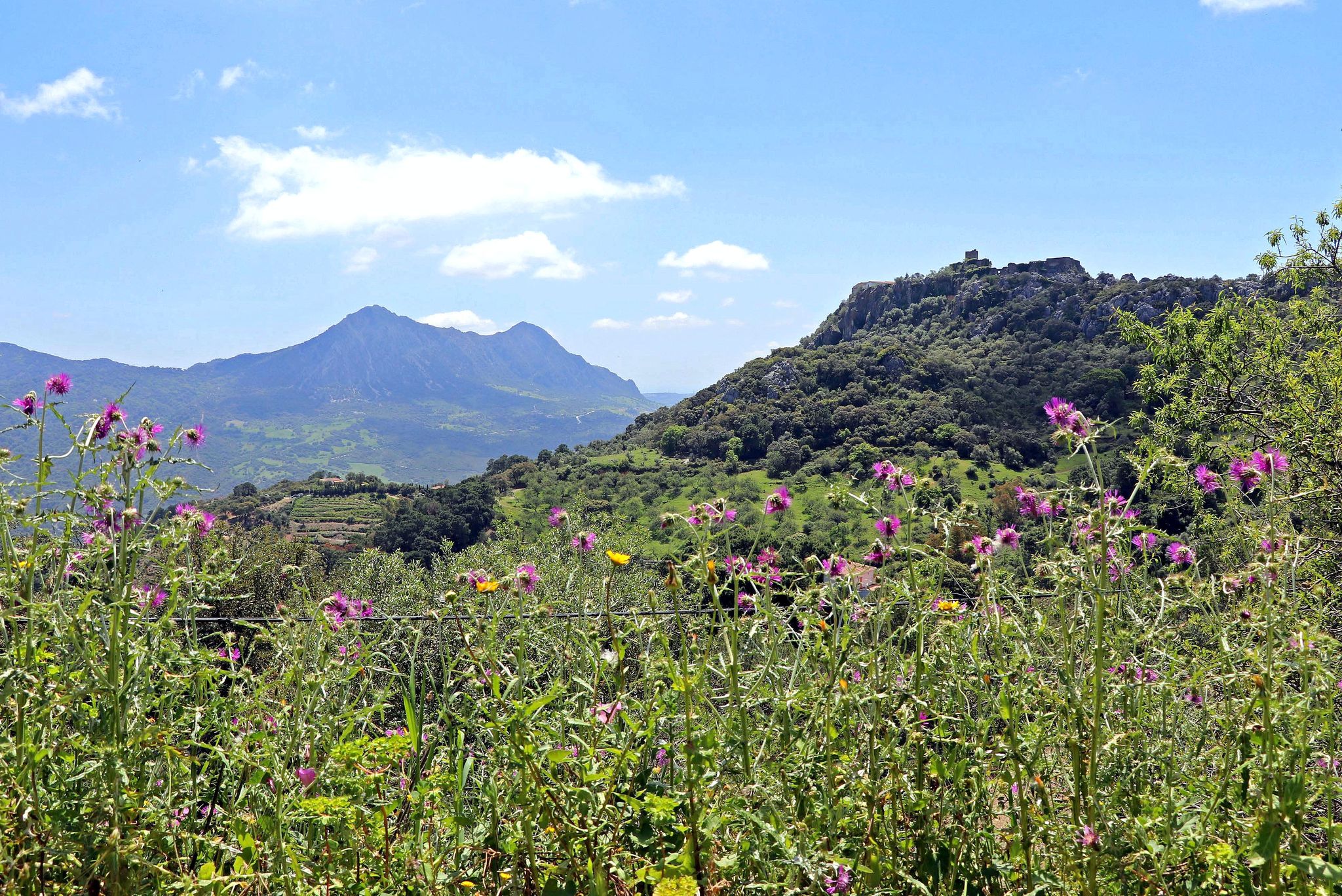
The port overlooks Sierra Crestellina, named after the long ridge that crosses the top of the rock, it is a protected natural area of the Serranía de Ronda. The highest point is located in the Cerro de las Chapas, at 946 meters high.
2
0

베나라바 주변에서 가장 인기 있는 명소


더 살펴보기
베나라바 주변의 최고의 동굴을 찾기 위해 이 가이드를 확인해보세요:
