세라딜라 델 야노에서 가장 멋진 10개의 산길
세라딜라 델 야노에서 가장 멋진 산길을 아래에서 살펴보세요. 풍경을 감상하기에도 좋고, 오르막길/내리막길을 따라 걷기에도 좋은 곳이랍니다. 커뮤니티가 특별 도움을 통해 공유한 콘텐츠인 만큼 믿을 수 있는 정보이니 마음에 드는 산길이 있다면 바로 다음 모험 계획에 추가해서 바로 방문해보세요.
마지막 업데이트: 8월 25, 2026
몬사그로에서 파소 데 로보스까지의 오르막
하이라이트 (구간) • 산악 고개
12km of ascent around 4%, although with some somewhat harder km towards the end. From there another 4km to La Peña de Francia
번역자 Google •
팁에 의해

로스 로보스 고개 (1499 m)
하이라이트 • 산악 고개
번역자 Google •
팁에 의해

이런 장소를 발견하려면 지금 가입하세요
최고의 싱글 트랙, 봉우리 및 다양한 흥미로운 야외 장소에 대한 추천을 받아보세요.
무료 회원 가입
푸에르토 데 로블레도
하이라이트 • 산악 고개
번역자 Google •
팁에 의해


누뇨모랄에서 로블레도 고개까지 오르막길
하이라이트 (구간) • 산악 고개
번역자 Google •
팁에 의해

무료로 가입하여 세라딜라 델 야노 주변의 더 많은 산악 고개를 발견하세요.
무료 회원 가입
이미 komoot 계정이 있나요?
오늘 무료 계정으로 시작하세요
다음 모험이 기다리고 있어요.
로그인 또는 가입하기
세라딜라 델 야노 주변 인기 장소
커뮤니티 팁

멋진 풍경입니다. 이제 정상까지 남은 200미터의 고도를 오르면 됩니다.
0
0

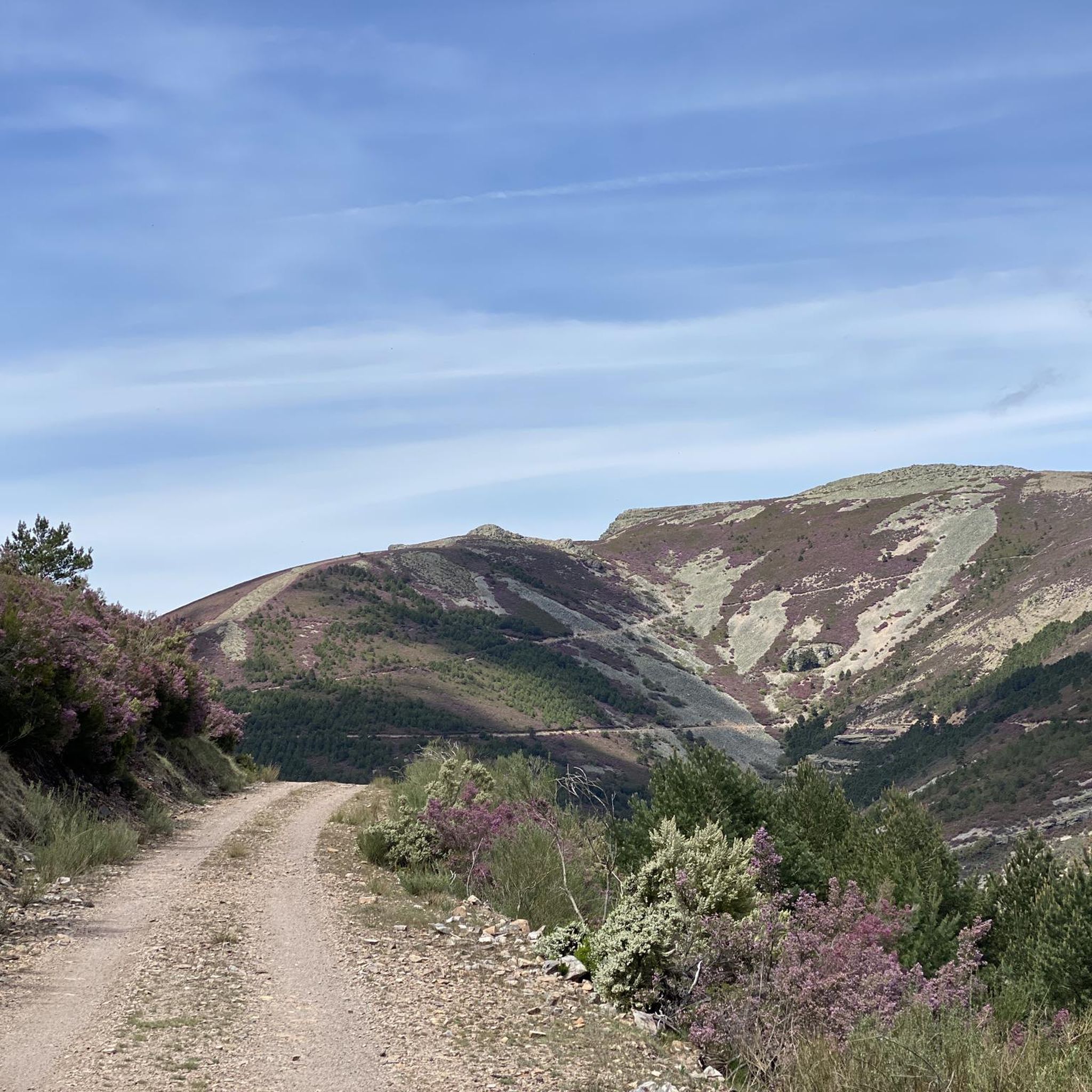
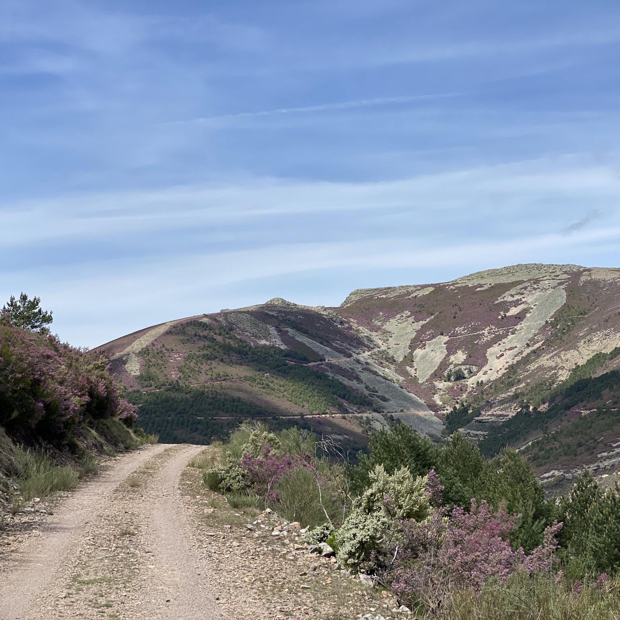
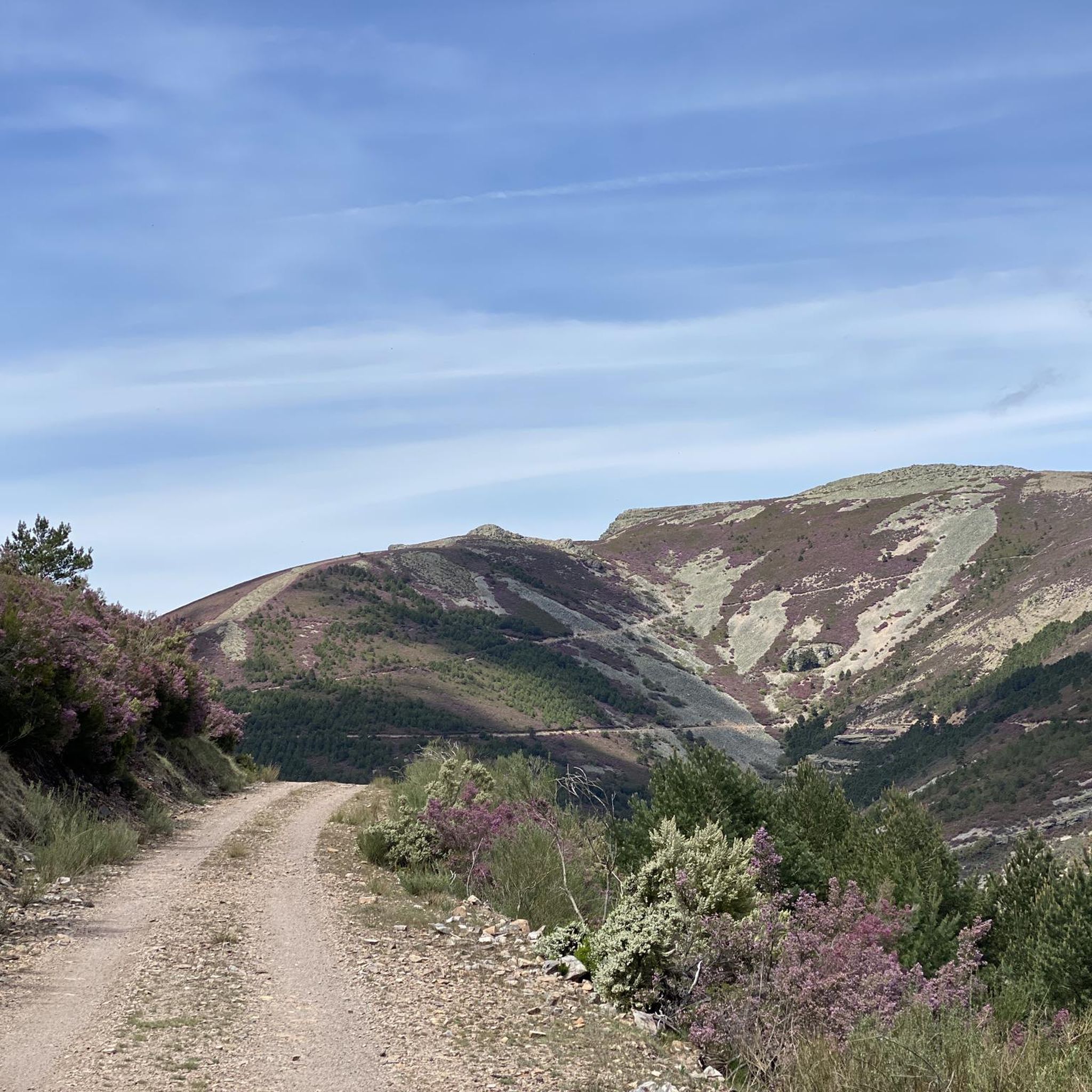
This is the Wolves Pass, the end of the climb to Peña de Francia (Granite Throne) ;)
0
0

The Esperabán pass is a mountain pass in the interior of the Iberian Peninsula, located in the Central System. The route that crosses it connects the Spanish provinces of Cáceres and Salamanca. This pass, which divides the provinces of Cáceres and Salamanca, is located at an altitude of 1,295 m. Access to the pass is paved and in good condition. The pass runs along the road that connects the town of Pinofranqueado with the farmhouses located on the banks of the Esperabán River. The last 7 km, with an average gradient of 8%, run along a perfectly paved forest track that was once used for transporting wood. The end of the asphalt, at 1,285 m above sea level, is just a few meters from the summit that gives the pass its name. We can climb to the highest point with MTB or gravel without problems.
0
0

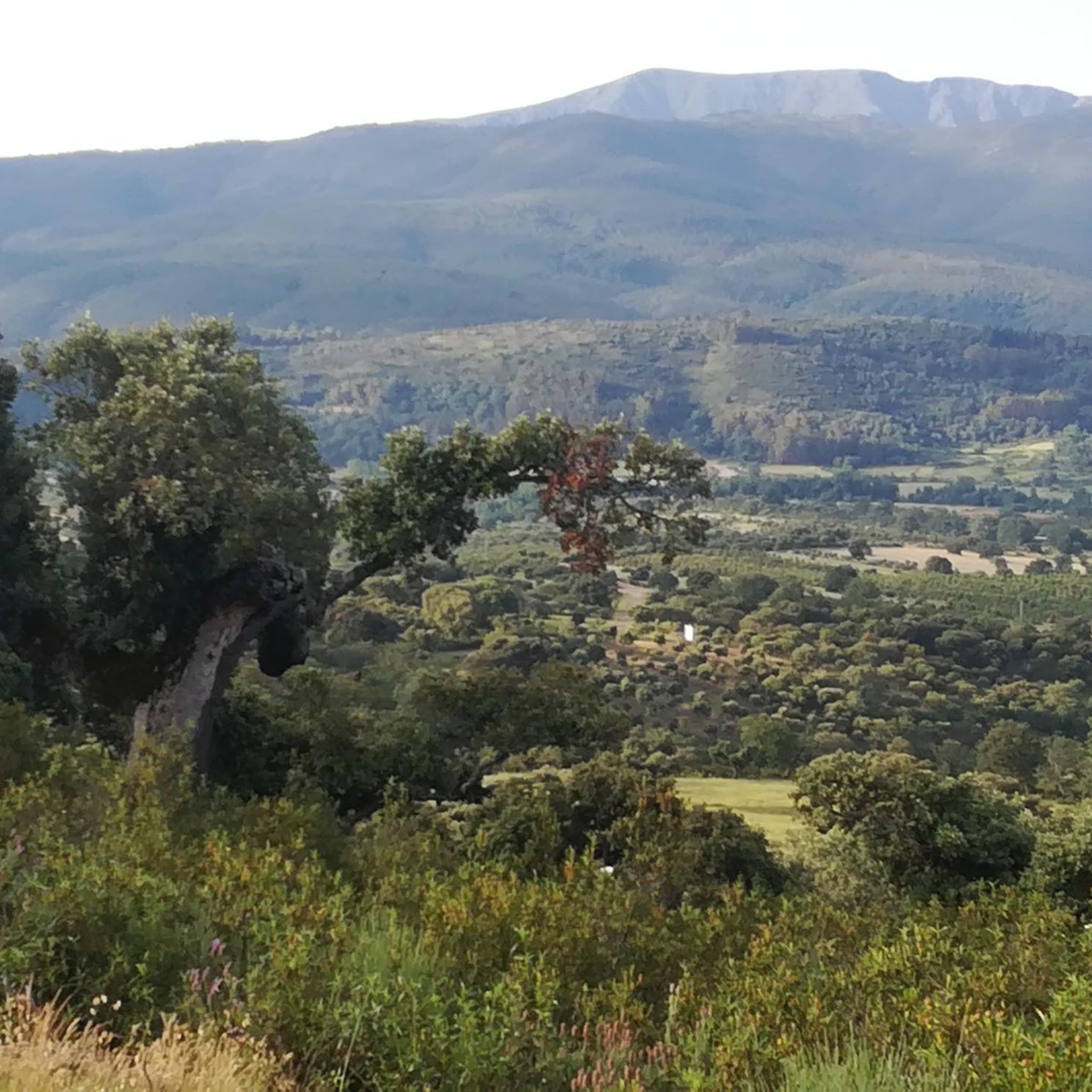
Great viewpoint of the Agadon Valley, a mandatory stop on the way up to Peña de Francia or the descent, to take more photos and read interesting facts on the information panel.
2
0

Iconic cycling climb with many switchbacks providing incredible views. The ascent begins from the town of Nuñomoral to the Port of Robledo in the Sierra de Francia in the region of Las Hurdes. It's a long climb to 1100 masl, so keep up.
1
0

In the town of Serradilla del Llano, on the CV-149 highway, we will head towards the province of Cáceres. The port begins at the bridge over the Agaddon River.
0
0


First part of the climb to the Peña de Francia.
0
0


