이소볼에서 가장 멋진 11개의 산길
이소볼에서 가장 멋진 산길을 아래에서 살펴보세요. 풍경을 감상하기에도 좋고, 오르막길/내리막길을 따라 걷기에도 좋은 곳이랍니다. 커뮤니티가 특별 도움을 통해 공유한 콘텐츠인 만큼 믿을 수 있는 정보이니 마음에 드는 산길이 있다면 바로 다음 모험 계획에 추가해서 바로 방문해보세요.
마지막 업데이트: 7월 14, 2026
푸이그페드로스 정상(2,911m)
하이라이트 • 정상
번역자 Google •
팁에 의해

Collado de Pendís
하이라이트 • 산악 고개
번역자 Google •
팁에 의해

이런 장소를 발견하려면 지금 가입하세요
최고의 싱글 트랙, 봉우리 및 다양한 흥미로운 야외 장소에 대한 추천을 받아보세요.
무료 회원 가입
프루얀스로 가는 산길
하이라이트 (구간) • 산악 고개
번역자 Google •
팁에 의해

다스(세르다냐)에서 콜 데 라 크레우에타 오르막길
하이라이트 (구간) • 산악 고개
번역자 Google •
팁에 의해

Coll de Jovell (1,521m)
하이라이트 • 산악 고개
번역자 Google •
팁에 의해

무료로 가입하여 이소볼 주변의 더 많은 산악 고개를 발견하세요.
무료 회원 가입
이미 komoot 계정이 있나요?
오늘 무료 계정으로 시작하세요
다음 모험이 기다리고 있어요.
로그인 또는 가입하기


커뮤니티 팁

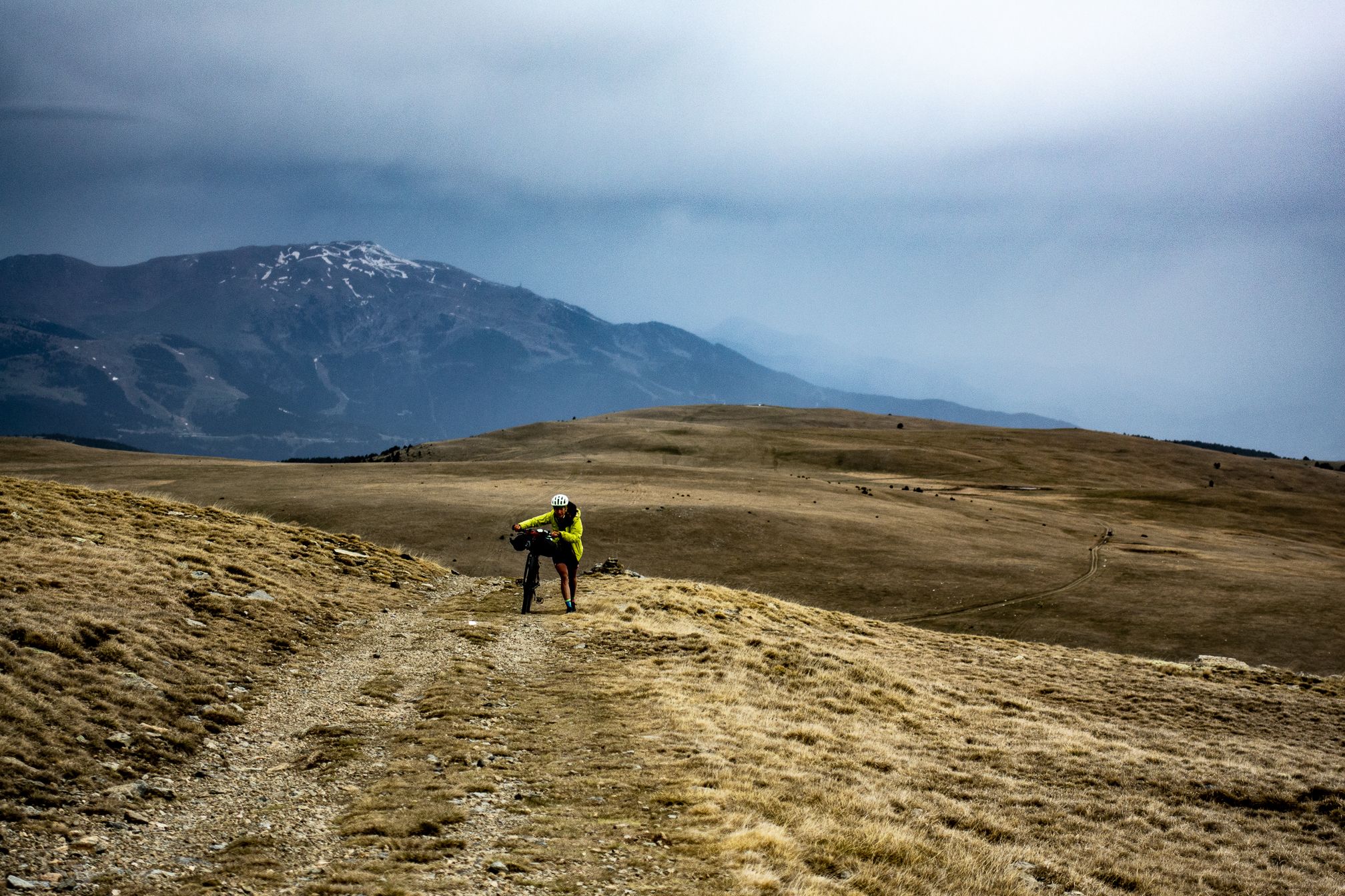
아름다운 전망을 갖춘 고개입니다. Cortals de l'Ingla 산장에서 산악자전거 또는 그래블 자전거로 접근할 수 있습니다. 이 고개에서 Cadí 산맥의 양쪽 경사면을 연결하는 Gosolans 고개로도 갈 수 있습니다.
0
0

Departure from Riu de Cerdanya. The climb to the Les Esposes refuge is steady, with gradients of around 8-9%. The route is fairly smooth for a mountain bike, although there are many rocks. The view from the top is superb, offering a view of the Cerdanya region on the Spanish side.
1
0

Easy to get here, choose your direction wisely...
1
0

Ascent to Coll de la Creueta, natural border between Cerdanya, in Das, and Berguedà, towards Castellar de N'Hug, passing through Massella and Molina.
0
0

It is one of the many variants that there are to climb the Coll de la Creueta from the Cerdaña valley. In this case, the climb starts from the town of Das, where there is a detour that indicates Masella. Here you will face the hardest 2 km of the entire climb, with ramps that reach 15%. Once you reach the junction with the road that comes from Alp, the slope softens and remains constant until shortly before reaching the base of the Masella station (Pla de Masella). When leaving here towards La Molina station, we face an uphill section, a downhill section and another uphill section again with some hard ramps. From the base of La Molina, we take the road that goes to the Collada de Toses and the Coll de la Creueta. We turn right after 3 km where the Coll de la Creueta is pointed out. The landscape, from this point to the top of the pass, is completely high mountain, without any trees, with abundant meadows. Be careful with the last 3 km of the climb because the wind usually hits you in the face on some straight lines.
0
0
This section of road is part of the climb that can be made to Lles from Prullans. The road is very quiet and narrow, and in some sections the asphalt is in poor condition, but it is cyclable. I usually use it as a descent from Lles to Prullans to avoid a stretch of national road from Martinet to Prullans.
0
0

Demanding route, the first part is through the forest, on a rainy day it is very beautiful, but extreme caution must be taken. In the end we did not go up to La Tosa due to time and being a large group, we took a detour that is not marked, the end of the route is missing because it did not have a battery.
0
0


