쉽톤 협곡에서 가장 멋진 20개의 천연기념물
천연기념물을 방문하여 쉽톤 협곡의 아름다운 풍경을 만나보세요. 쉽톤 협곡에 있는 20
개의 천연기념물과 상세 정보를 살펴본 후에 방문하고 싶은 천연기념물을 다음 모험 계획에 추가해보세요!
마지막 업데이트: 10월 4, 2026


이런 장소를 발견하려면 지금 가입하세요
최고의 싱글 트랙, 봉우리 및 다양한 흥미로운 야외 장소에 대한 추천을 받아보세요.
체실 비치 & 더 플리트
하이라이트 • 해변
팁에 의해
Doghouse Hill
하이라이트 (구간) • 정상
번역자 Google •
팁에 의해


오늘 무료 계정으로 시작하세요
다음 모험이 기다리고 있어요.
커뮤니티 팁

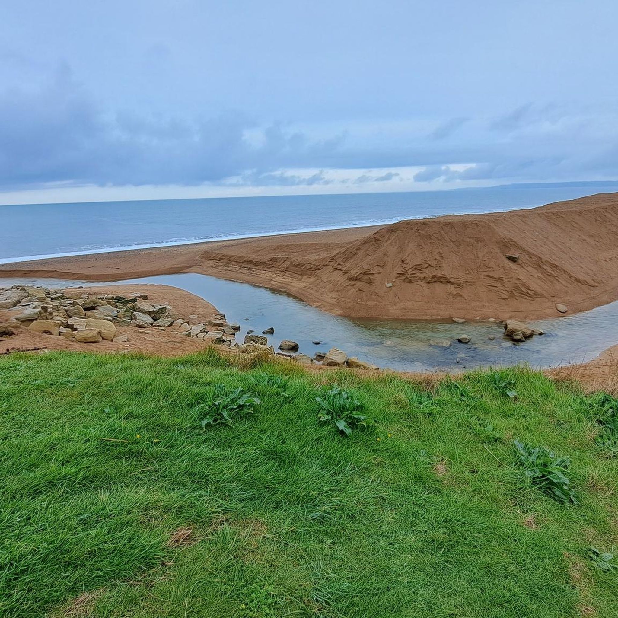
West Bay와 Burton Bradstock 사이의 해안 도로는 산사태로 인해 현재 폐쇄되었습니다. Bridport and West Dorset Golf Club을 가로지르는 공공 도보를 이용하는 우회로가 마련되어 있습니다. 우회로에 대한 자세한 정보와 지도는 South West Coast Path 웹사이트를 참조하십시오.
0
0

As far as I am aware, the West Bay coastal path is closed due to many landslip and the path disappearing into the bay.
0
0

Car park at the beach is relatively cheap. toilets are 24 hours open and clean. The shingle beach is...well, a nightmare for miles upon miles of relentless trudging.
0
0

The cliff top is closed due to massive erosion and possible land slips. There is a diversion which leads through the golf course.
0
0
A lot of coastal erosion at this area as of late, and sections of cliffs, above and below are now off limits to members of the public to due safety reasons. West bay and the cliffs are the locations used for the ITV drama Broadchurch. Fascinating looking around the the little fishing village and seeing the locations used in person.
0
0
The highest point on the south coast of England. quite the lung opener and leg burner to reach. well worth it with the views though. Just be careful near the cliff edge. Constantly eroding away.
3
0
Quite the climb up, regardless of which side you choose. Experts now believe people lived on Doghouse Hill on the Golden Cap estate up to 10,000 years ago. Finds included a stone hearth, fire pit and pot shards from Bronze Age periods (2,500 to 1,000BC) and others from the Mesolithic Age (10,000 to 4,000BC) Martin Papworth, from the National Trust, said: "Although it's a stunning coastal site now, 6,000 to 8,000 years ago this area would have been over a mile inland. To find ancient pottery decorated with fingernail impressions and touch them with one's own hand, that's real contact with the past Martin Papworth, National Trust "The Mesolithic people who lived on top of Doghouse hill would have pre-dated farming, so would have been hunter-gatherers using these flints to work hides, cut meat and scrape fat from animal skins. "After millennia of erosion, it's at risk of disappearing into the sea itself."
0
0
The coast at Seatown is part of the Jurassic Coast, a World Heritage Site. The surrounding area is also designated part of the Dorset National Landscape. Golden Cap, the highest point on the south coast of England, lies 1 mile (1.6 km) to the west. Seatown comprises a small number of houses, a holiday park, some holiday cottages and a pub. The small River Winniford or Wynreford runs into the sea here. Seatown beach is popular with fossil collectors, with rock of Late Jurassic/Early Cretaceous. The beach is privately owned; access to it is free, but there is a charge for car parking. 'Furmity'—a mix of wheat, dried fruit and sugar, often with added spirits—was one of the products sold at a Whit Monday Fair which used to be held in Seatown. The current Anchor Inn and the neighbouring cottages are rebuildings of their earlier equivalents which had been destroyed in the Great Storm of 1824. In the little Hamlet is the seatown slice, a spar shop and a beachside sauna.
2
0
쉽톤 협곡 주변에서 가장 인기 있는 명소


더 살펴보기
쉽톤 협곡 주변의 최고의 동굴을 찾기 위해 이 가이드를 확인해보세요:
