버튼에서 가장 멋진 4개의 천연기념물
Bourton 주변의 최고의 자연 기념물은 역사 유적지와 자연 지형이 혼합된 곳입니다. 이 지역은 석회질 점토와 구불구불한 강인 Windrush 강이 특징인 코츠월드 언덕 지질학을 특징으로 합니다. 이러한 자연 환경은 종종 중요한 역사적 사건을 개최하며 탐험을 위한 다양한 풍경을 제공합니다. 이 지역은 다양한 지형 내에서 자연의 아름다움과 역사적 랜드마크를 모두 관찰할 기회를 제공합니다.
Bourton 주변 최고의 자연 기념물
- 가장 인기 있는 자연 기념물은 영국 내전의 중요한 사건을 기념하는 역사 유적인 Battle of Edgehill Site입니다. 현장에 있는 상세한 정보판은 전투의 전개를 설명하며…
마지막 업데이트: 10월 3, 2026

이런 장소를 발견하려면 지금 가입하세요
최고의 싱글 트랙, 봉우리 및 다양한 흥미로운 야외 장소에 대한 추천을 받아보세요.
Wroxton 오벨리스크
하이라이트 • 기념물
팁에 의해

오늘 무료 계정으로 시작하세요
다음 모험이 기다리고 있어요.
커뮤니티 팁

This is the location of the Battle of Edgehill, a pitched battle of the First English Civil War occurring on Sunday 23rd October 1642. A detailed information board stands here describing how the event unfolded, offering a fascinating window into the area's past.
1
0
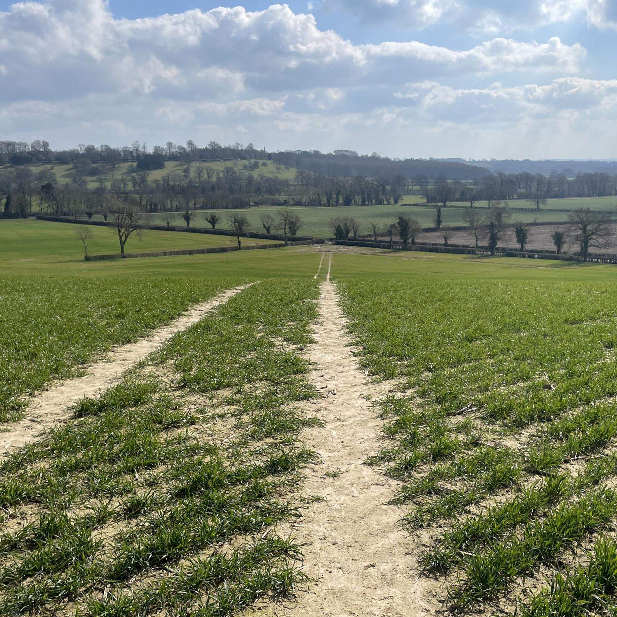
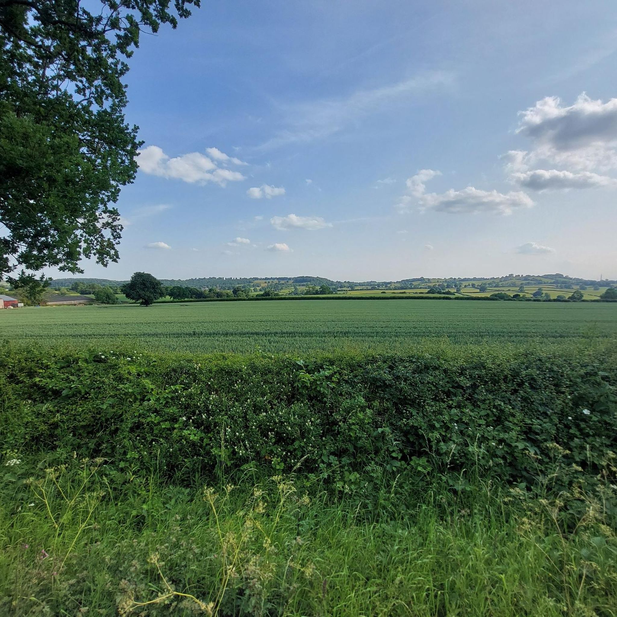
Enjoy fantastic views as you run through the countryside toward Wroxton Obelisk. In the spring and summer months, you will be delighted by a gorgeous display of blooming flowers that create a very picturesque setting.
0
1

The Battle of Edgehill (or Edge Hill) was a pitched battle of the First English Civil War. It was fought near Edge Hill and Kineton in southern Warwickshire on Sunday, 23 October 1642. All attempts at constitutional compromise between King Charles and Parliament broke down early in 1642. Both the King and Parliament raised large armies to gain their way by force of arms. In October, at his temporary base near Shrewsbury, the King decided to march to London in order to force a decisive confrontation with Parliament's main army, commanded by the Earl of Essex. Late on 22 October, both armies unexpectedly found the enemy to be close by. The next day, the Royalist army descended from Edge Hill to force battle. After the Parliamentarian artillery opened a cannonade, the Royalists attacked. Both armies consisted mostly of inexperienced and sometimes ill-equipped troops. Many men from both sides fled or fell out to loot enemy baggage, and neither army was able to gain a decisive advantage.
1
0


Views over the Warwickshire plains, edge hill was one of the battles in the English Civil war
0
0
The Battle of Edgehill (or Edge Hill) was a pitched battle of the First English Civil War. It was fought near Edge Hill and Kineton in southern Warwickshire on Sunday, 23 October 1642. All attempts at constitutional compromise between King Charles and Parliament broke down early in 1642. Both the King and Parliament raised large armies to gain their way by force of arms. In October, at his temporary base near Shrewsbury, the King decided to march to London in order to force a decisive confrontation with Parliament's main army, commanded by the Earl of Essex. Late on 22 October, both armies unexpectedly found the enemy to be close by. The next day, the Royalist army descended from Edge Hill to force battle. After the Parliamentarian artillery opened a cannonade, the Royalists attacked. Both armies consisted mostly of inexperienced and sometimes ill-equipped troops. Many men from both sides fled or fell out to loot enemy baggage, and neither army was able to gain a decisive advantage.
0
0
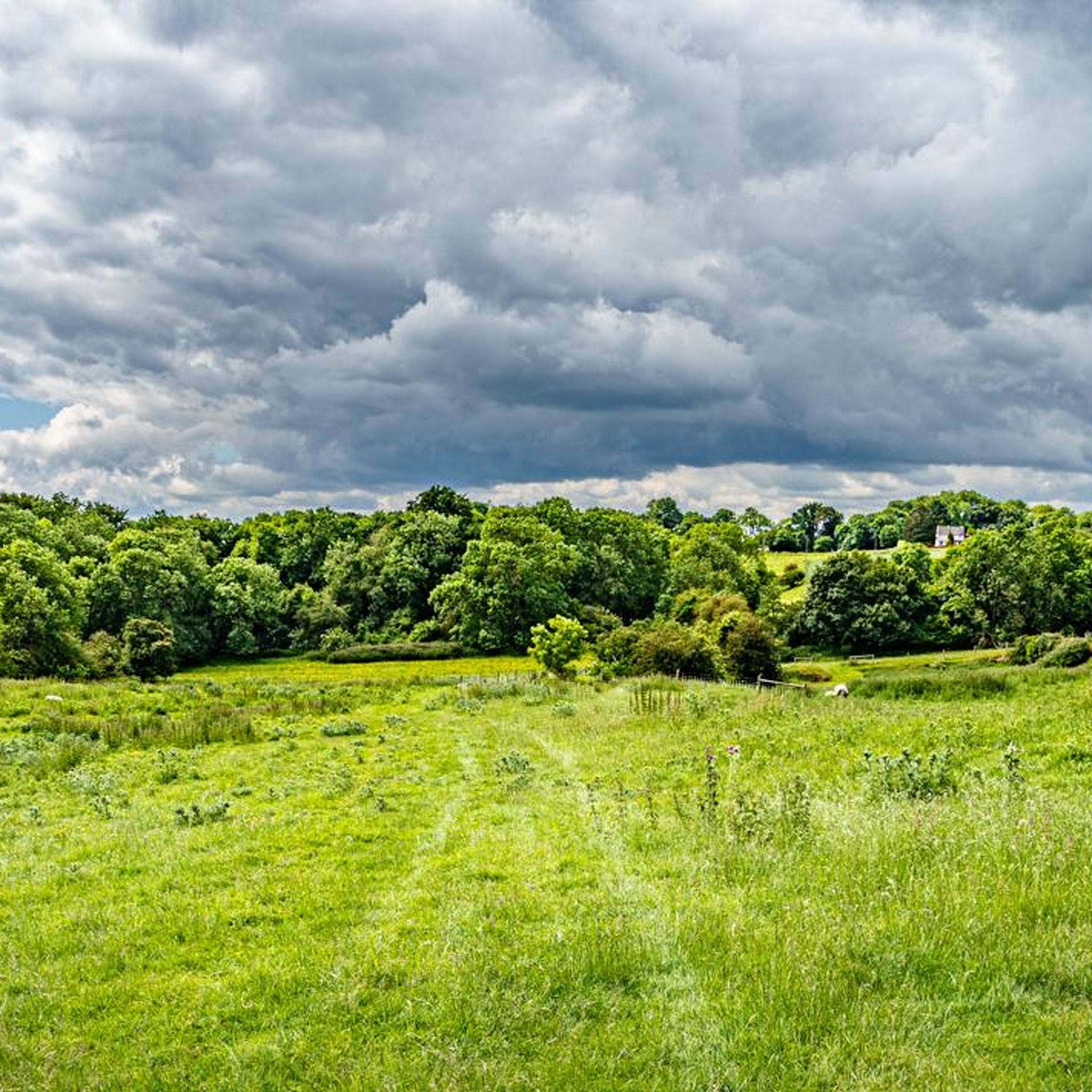
A circular earthwork is clearly visible on the ground on Harts Hill. It measures approximately 15m internal diameter, the ditch is 2m wide and the entrance (facing SE) is 2.5m across.
0
0

자주 묻는 질문
Bourton-on-the-Water에서 방문할 만한 가장 두드러진 자연 기념물은 무엇인가요?
Bourton-on-the-Water에서 가장 두드러진 자연 지형은 마을을 가로지르는 윈드러시 강(River Windrush)과 근처의 그레이스톤스 농장 자연 보호 구역(Greystones Farm Nature Reserve)입니다. 윈드러시 강은 그림 같은 풍경과 역사적인 석조 다리로 유명하며, 그레이스톤스 농장은 풍부한 생물 다양성과 역사적 통찰력을 제공합니다.
그레이스톤스 농장 자연 보호 구역에서 어떤 자연 지형을 탐험할 수 있나요?
그레이스톤스 농장 자연 보호 구역에서는 야생화 초원, 고대 울타리, 그리고 윈드러시 강의 지류인 아이 강(River Eye)과 디클러 강(River Dikler)을 포함한 다양한 자연 지형을 탐험할 수 있습니다. 이곳은 전통적인 건초 초원과 희귀 야생화로 인정받는 특별 과학 관심 지역(Site of Special Scientific Interest, SSSI)입니다.
Bourton 지역에 역사적인 자연 기념물이 있나요?
네, 더 넓은 Bourton 지역에는 역사적으로 중요한 여러 자연 기념물이 있습니다. 여기에는 중요한 역사적 전투가 벌어졌던 에지힐 전투지(Battle of Edgehill Site)와 에지코트 전투지(Battle of Edgcote)가 포함됩니다. 또한, 버튼 다셋 성스러운 샘(Holy Well, Burton Dassett)은 고대부터 사용되었다는 주장이 있는 수수께끼 같은 역사적 장소입니다.
그레이스톤스 농장 자연 보호 구역에서 어떤 종류의 야생 동물을 볼 수 있나요?
그레이스톤스 농장 자연 보호 구역은 생물 다양성의 중심지입니다. 물쥐(코츠월드에서 가장 큰 개체 수 중 하나), 수달, 박쥐, 흰 올빼미, 다양한 새 종류, 그리고 광범위한 곤충과 나비를 볼 수 있습니다. 보호 구역의 다양한 서식지는 풍부한 동식물 다양성을 지원합니다.
Bourton-on-the-Water 주변에 가족 친화적인 자연 기념물이 있나요?
네, 이 지역의 많은 자연 기념물은 가족 친화적입니다. 그레이스톤스 농장 자연 보호 구역은 표지판이 잘 된 산책로와 인터랙티브한 디스커버리 헛간을 제공합니다. 다른 가족 친화적인 장소로는 경치 좋은 전망을 제공하는 에지힐 전투지(Battle of Edgehill Site), 에지코트 전투지(Battle of Edgcote), 그리고 웍스턴 오벨리스크(Wroxton Obelisk)가 있습니다.
이 자연 기념물 근처에서 어떤 야외 활동을 할 수 있나요?
버턴온더워터(Bourton-on-the-Water) 주변 지역은 다양한 야외 활동을 제공합니다. 윈드러시 강(River Windrush)을 따라 여유로운 산책을 즐기거나, 그레이스톤스 농장 자연 보호구역(Greystones Farm Nature Reserve)의 트레일을 탐험할 수 있습니다. 더 체계적인 활동을 원하시면, 버턴 지역 전반에 걸쳐 이용 가능한 가족 친화적인 하이킹 또는 러닝 트레일을 고려해 보세요.
그레이스톤스 농장 자연 보호구역은 휠체어와 유모차 접근이 가능한가요?
네, 그레이스톤스 농장 자연 보호구역은 접근성을 고려하여 설계되었습니다. 많은 경로가 휠체어와 유모차에 적합하여 다양한 방문객에게 환영받는 장소입니다. 보호구역 입장료는 무료입니다.
버턴온더워터의 자연 기념물을 방문하기 가장 좋은 시기는 언제인가요?
버턴온더워터의 자연 기념물은 연중 즐길 수 있습니다. 따뜻한 계절에는 윈드러시 강(River Windrush)을 따라 여유로운 산책과 물놀이를 즐기기 좋으며, 그레이스톤스 농장 자연 보호구역(Greystones Farm Nature Reserve)은 활기찬 야생화 초원을 자랑합니다. 가을에는 아름다운 단풍을 볼 수 있으며, 겨울에도 고요한 풍경은 평화로운 경험을 선사합니다.
자연 기념물 중에 전망대가 있나요?
네, 여러 자연 기념물에서 훌륭한 전망을 감상할 수 있습니다. 에지힐 전투지(Battle of Edgehill Site), 에지콧 전투지(Battle of Edgcote), 웍스턴 오벨리스크(Wroxton Obelisk), 그리고 하츠 힐(Harts Hill) 모두 주변 시골의 아름다운 경치를 제공합니다.
이 자연 기념물을 포함하는 도보 경로를 찾을 수 있나요?
물론입니다. 버턴온더워터(Bourton-on-the-Water) 자체에서는 윈드러시 강(River Windrush)을 따라 여유로운 산책을 즐길 수 있습니다. 그레이스톤스 농장 자연 보호구역(Greystones Farm Nature Reserve)에는 자연의 아름다움과 역사를 강조하는 표지판이 있는 트레일이 있습니다. 더 많은 옵션을 찾으려면, 버턴 지역 주변의 버스 정류장에서 출발하는 하이킹 또는 이러한 자연적 특징을 지나가는 다른 하이킹 가이드를 탐색해 보세요.
버튼 주변에서 가장 인기 있는 명소


더 살펴보기
버튼 주변의 최고의 동굴을 찾기 위해 이 가이드를 확인해보세요:
