록본에서 가장 멋진 13개의 천연기념물
천연기념물을 방문하여 록본의 아름다운 풍경을 만나보세요. 록본에 있는 13
개의 천연기념물과 상세 정보를 살펴본 후에 방문하고 싶은 천연기념물을 다음 모험 계획에 추가해보세요!
마지막 업데이트: 9월 19, 2026
Bokerley Dyke
하이라이트 • 트레일
팁에 의해


이런 장소를 발견하려면 지금 가입하세요
최고의 싱글 트랙, 봉우리 및 다양한 흥미로운 야외 장소에 대한 추천을 받아보세요.
Abbots Well
하이라이트 • 역사적 장소
팁에 의해
Bokerley Ditch
하이라이트 • 역사적 장소
팁에 의해

뉴 포레스트 국립공원의 오래된 참나무
하이라이트 • 숲
팁에 의해

무료로 가입하여 록본 주변의 더 많은 자연 기념물을 발견하세요.
이미 komoot 계정이 있나요?
오늘 무료 계정으로 시작하세요
다음 모험이 기다리고 있어요.
커뮤니티 팁

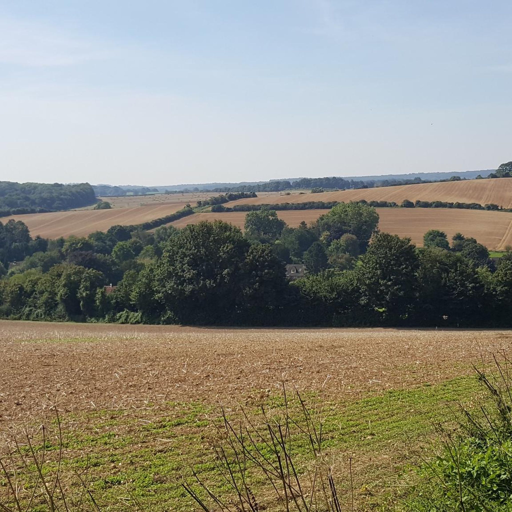
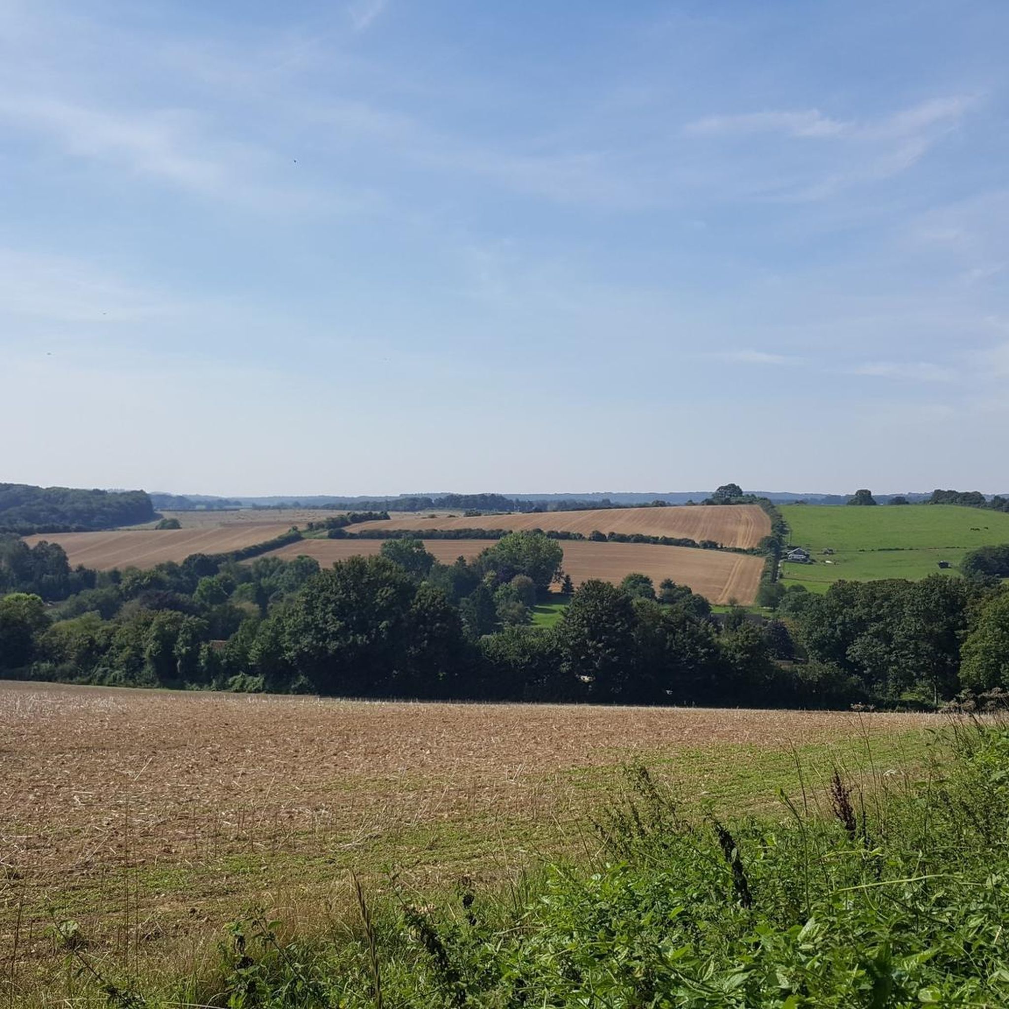
나폴레옹 시대: 19세기 초, 이 장소에는 나무로 된 광학 셔터 신호소가 있었습니다. 플리머스와 런던의 해군 본부를 연결하는 선의 일부였으며, 20분 안에 메시지를 전달할 수 있었습니다. 구글이 알려주는 것입니다
0
0

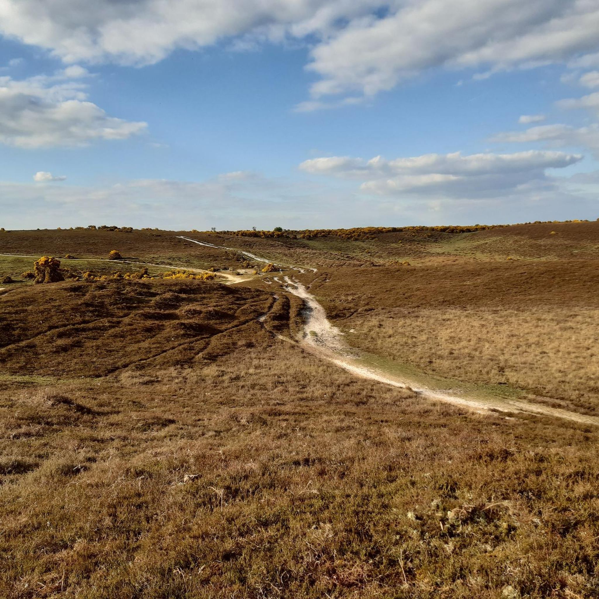
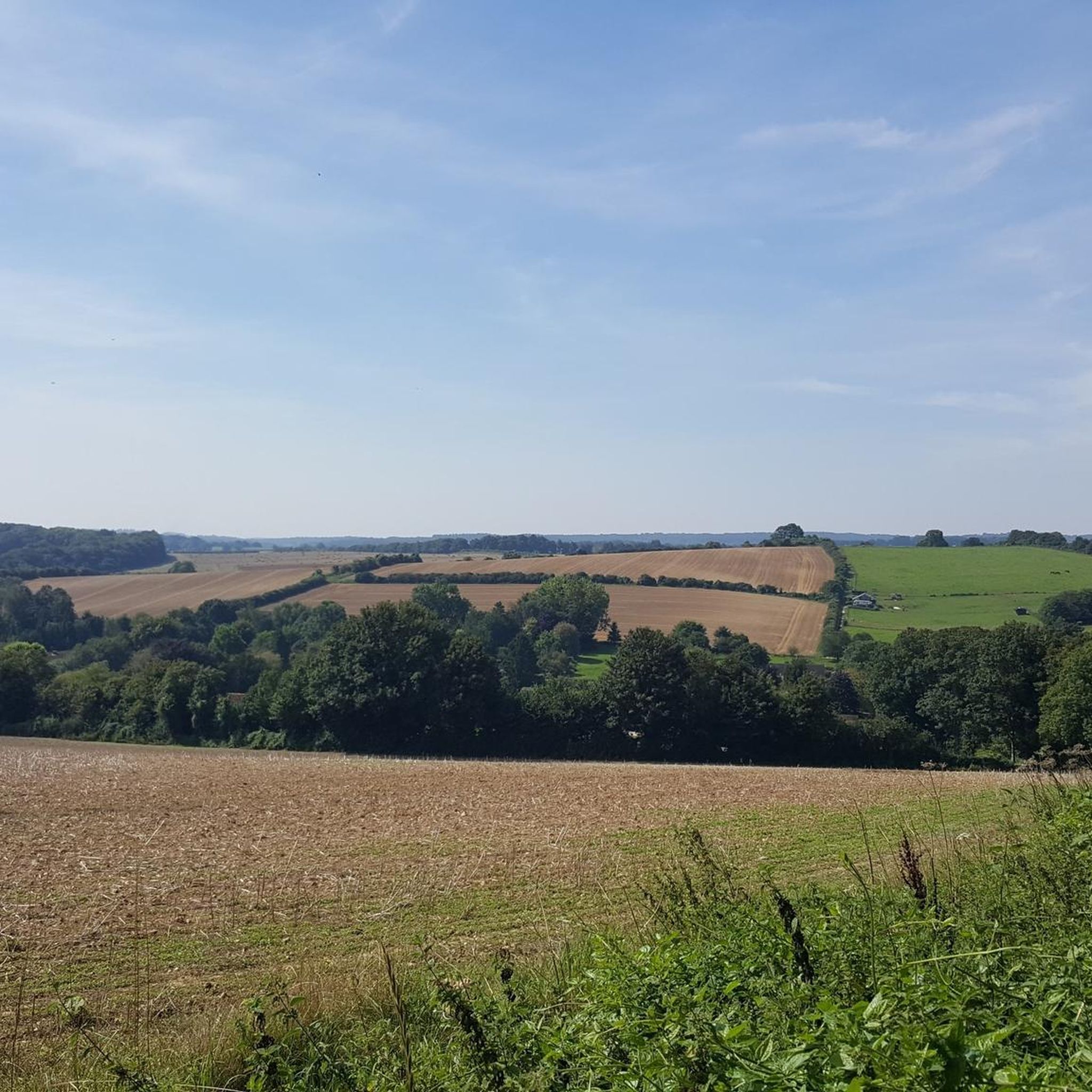
Bokerley Dyke is a substantial linear earthwork, approximately 5.75 kilometers (3.6 miles) long, located on Cranborne Chase. It runs along part of the border between Dorset and Hampshire, specifically between Woodyates and Martin. It is part of a larger Scheduled Monument that also includes Grim's Ditch and other earthworks. The dyke has a multi-period history. It is believed to have originated in the Bronze Age or Early Iron Age as an important political and cultural boundary. In the 1st century, it was cut through by a Roman road, Ackling Dyke, which ran between Old Sarum and Badbury Rings. In the 4th century, the dyke was remodeled and brought back into use. During this period, the Roman road was blocked. A coin of Valens found during excavations dates this activity to shortly after 364 AD, with some sources suggesting it was built between 367-368 AD. This remodeling may have been a defensive measure against attacks on Britain by Picts, Scots, and Saxons. The Roman road was eventually reopened, but the dyke may have continued to be used as a boundary after the Roman administration ended. Today, it still forms part of the border between the counties of Dorset and Hampshire.
0
0
The Queen of the forest, at 500 years old and still growing.
0
0

An ancient pollarded oak tree https://www.geograph.org.uk/photo/336141
0
0
English oak, also known as common or pedunculate oak, is one of Britain's most iconic trees. Its flowers are long, hanging catkins. It is the second most common tree species in the UK. Its leaves are around 10cm in length.
0
0

Abbots Well was formerly known as Alleynewell within the ancient boundaries of the New Forest when defined during the reign of King Edward I (1272-1307). This perpetual spring was, for centuries, the main watering place for travellers on the old road to Southampton. Theoretically the chamber on the left is for forest fauna and under the wooden flap on the right water intended for human consumption. I’m not sure I’d drink from it though - make your own mind up!!!
2
0

The name, Telegraph Hill, was given to this spot after it was used as a semaphore station from 1795. Before then, it was called Plowed Garlic Hill. No sign of either exist today, but it has a place in history as one of the semaphore station used to communicate the victory at Waterloo.
0
0

록본 주변에서 가장 인기 있는 명소


더 살펴보기
록본 주변의 최고의 동굴을 찾기 위해 이 가이드를 확인해보세요:
