랑그리쉬에서 가장 멋진 19개의 천연기념물
Langrish 주변의 최고의 자연 기념물은 사우스 다운스 국립공원 내에 있으며, 다양한 풍경과 중요한 자연적 특징을 자랑합니다. 이 지역은 석회암 초원, 고대 삼림, 그리고 두드러진 언덕들로 특징지어지며, Langrish 주변에 수많은 산책로를 제공합니다. 방문객들은 생태학적 중요성과 고고학적 유산으로 인정받는 장소들을 탐험할 수 있으며, 야외 활동과 Langrish 지역의 광활한 전망을 감상할 기회를 제공합니다. 이러한 자연적 특징들은 Langrish 산책로 근처의 자연 명소를 찾는 사람들에게 이 지역의 매력을 더합니다.
Langrish 주변 최고의 자연 기념물
- 가장 인기 있는 자연 기념물은 언덕이자 역사적인 장소인 Old Winchester Hill…
마지막 업데이트: 10월 16, 2026


이런 장소를 발견하려면 지금 가입하세요
최고의 싱글 트랙, 봉우리 및 다양한 흥미로운 야외 장소에 대한 추천을 받아보세요.
올드 윈체스터 힐 철기시대 요새
하이라이트 • 역사적 장소
팁에 의해
사우스 다운스 국립공원 경계 표지
하이라이트 • 기념물
번역자 Google •
팁에 의해

무료로 가입하여 랑그리쉬 주변의 더 많은 자연 기념물을 발견하세요.
이미 komoot 계정이 있나요?
오늘 무료 계정으로 시작하세요
다음 모험이 기다리고 있어요.
랑그리쉬 주변의 다른 모험

커뮤니티 팁

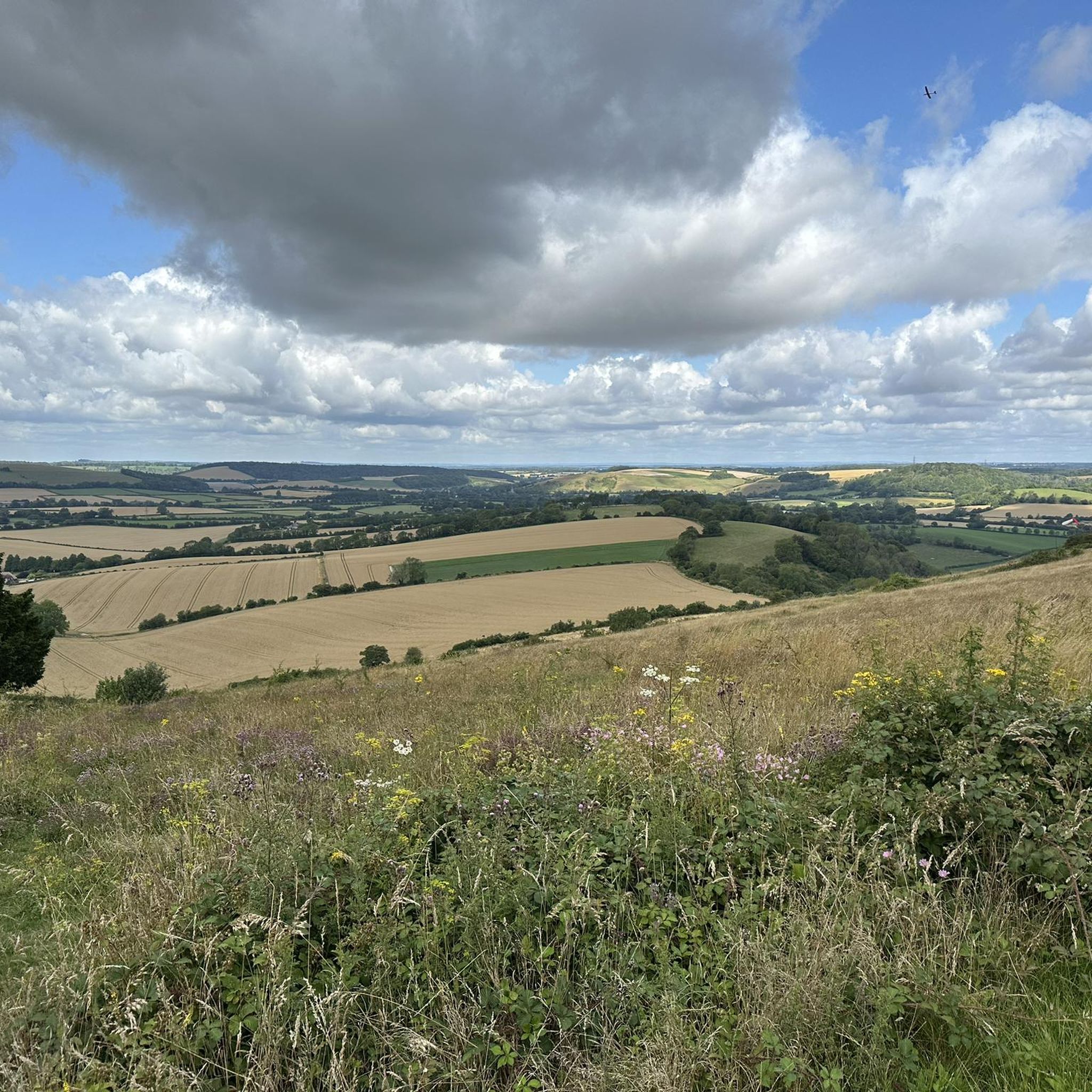
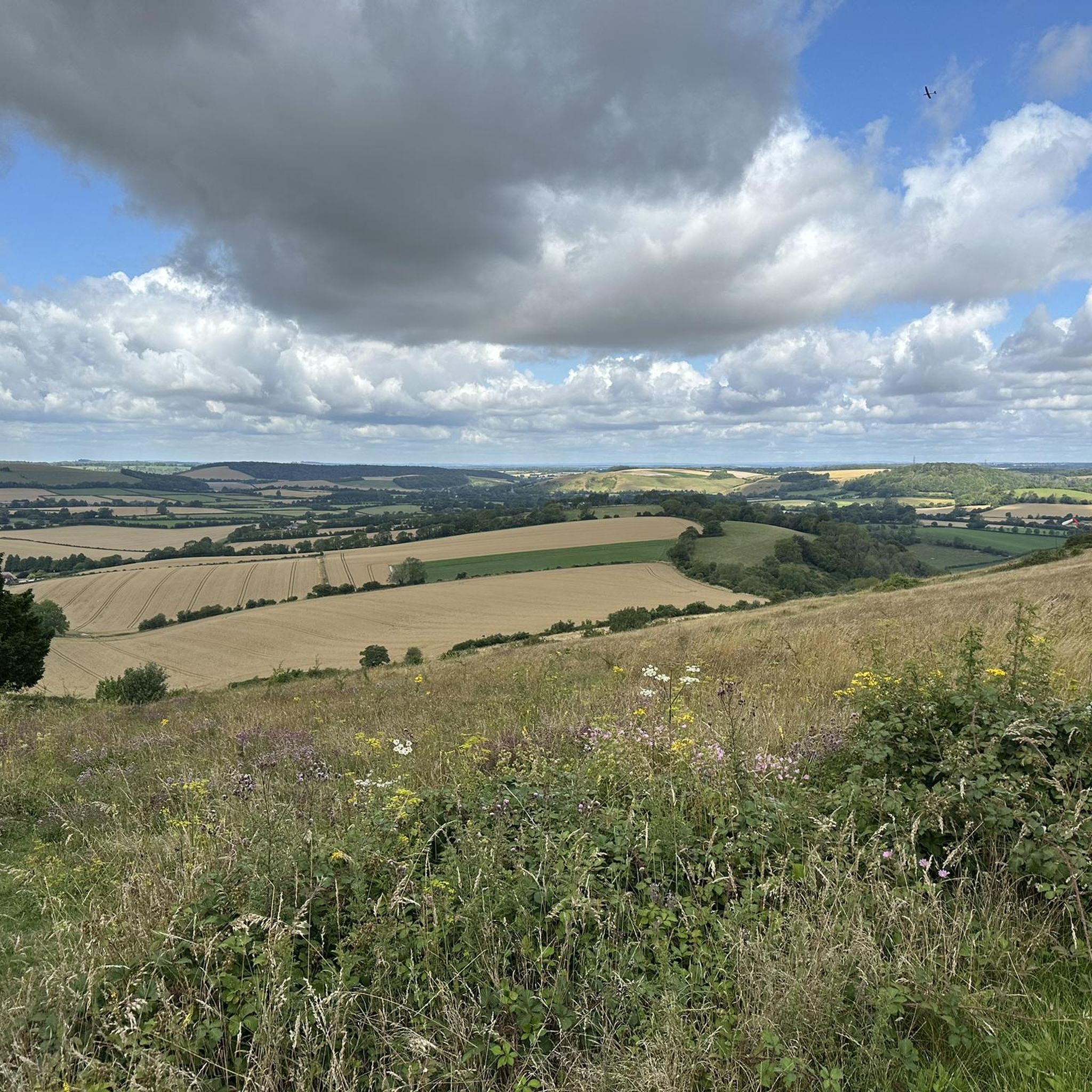
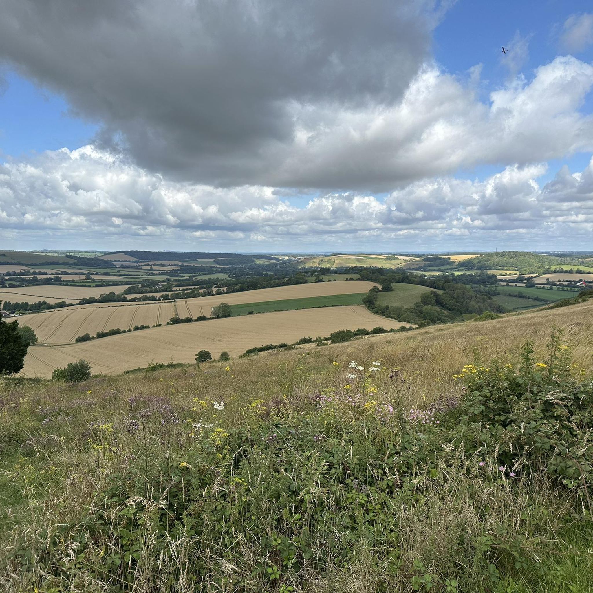
이 언덕 요새에서 아이슬 오브 와이트까지 멋진 전망을 감상할 수 있습니다.
0
0

Head south from Harting down to join bridle path heading South down to Centurion way and thence to Chichester railway station, 11 miles. Mainly a descent, Just one climb and then the joy of the recently upgraded cycle path the last 5 miles to Chichester. Winchester railway station to Chichester railway station 44 miles.
0
0

This was on the last leg of the King Alfred’s Way for me and was one of the few descents in the whole trip i walked, dry conditions but on a loaded gravel - the descent was more treacherous than i was prepared to risk / but amazing views from the top and a fast through the fields ride from the bottom.
1
0

This is a beautiful Iron Age hill fort that is now a national nature reserve, and it is a great area to bring the family to enjoy the beautiful views from the top. It has come a long way from being a mortar testing range for the British Army back in WW2.
0
0

South Downs National Park is England's newest national park, designated on March 31, 2010. The park covers an area of 1,627 square kilometers in the south of England and extends for 140 kilometers from Winchester in the west to Eastbourne in the east, through the counties of Hampshire, West Sussex and East Sussex. The national park includes the chalk hills of the South Downs (which on the Channel coast form the white cliffs of the Seven Sisters and Beachy Head) and a significant part of a distinct physical-geographical region, the western Weald, with its heavily wooded sandstone and clay hills and valleys. The idea for a national park on the South Downs emerged as early as the 1920s, when there was growing concern about increasing threats to the beautiful landscape, especially the impact of uncontrolled speculative housing development on the eastern Sussex Downs. The national park has a rich industrial heritage and history, such as old iron mines, watermills, castles and country houses. The national park also has great biodiversity and is home to more than 3,000 species of plants and animals, including rare orchids, butterflies, birds and bats.
3
0

Trig points within the Old Winchester Hill fort.
0
0

Worth the slippery, chalky muddy ascent from Mile End lane - looking forward to repeating the route in summer with less mud!
1
0
Lovely new signs clearly marking the national park
1
0
랑그리쉬 주변에서 가장 인기 있는 명소


더 살펴보기
랑그리쉬 주변의 최고의 동굴을 찾기 위해 이 가이드를 확인해보세요:
