카우폴드에서 가장 멋진 5개의 천연기념물
천연기념물을 방문하여 카우폴드의 아름다운 풍경을 만나보세요. 카우폴드에 있는 5
개의 천연기념물과 상세 정보를 살펴본 후에 방문하고 싶은 천연기념물을 다음 모험 계획에 추가해보세요!
마지막 업데이트: 7월 26, 2026
Wolstonbury Hill
하이라이트 • 자연 기념물
팁에 의해

세인트 레너드의 숲
하이라이트 • 전망대
팁에 의해

이런 장소를 발견하려면 지금 가입하세요
최고의 싱글 트랙, 봉우리 및 다양한 흥미로운 야외 장소에 대한 추천을 받아보세요.
무료 회원 가입
Newtimber Hill
하이라이트 • 자연 기념물
팁에 의해

Pilstye Wood의 드러난 나무 뿌리가 있는 암석 지대
하이라이트 • 숲
팁에 의해

South Downs 국립공원 전망
하이라이트 (구간) • 자연 기념물
팁에 의해

오늘 무료 계정으로 시작하세요
다음 모험이 기다리고 있어요.
로그인 또는 가입하기
커뮤니티 팁

At one end of Pilstye Wood, you'll see this stone outcrop where you can perfectly observe the roots of a tree that grew in a very challenging location.
1
0

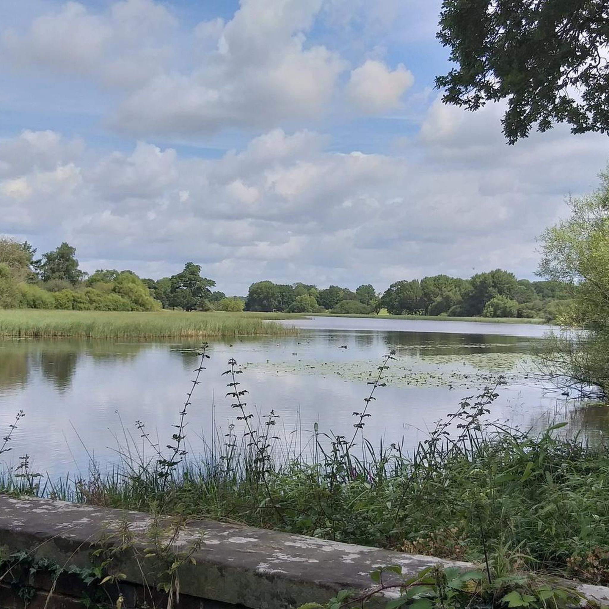
Newtimber Hill is owned by the National Trust and most of the land is included in a large Site of Special Scientific Interest which spreads westwards along the spectacular Fulking Escarpment and Devils Dyke. This is a really beautiful area to walk in as is all of the Devil's Dyke area.
0
0

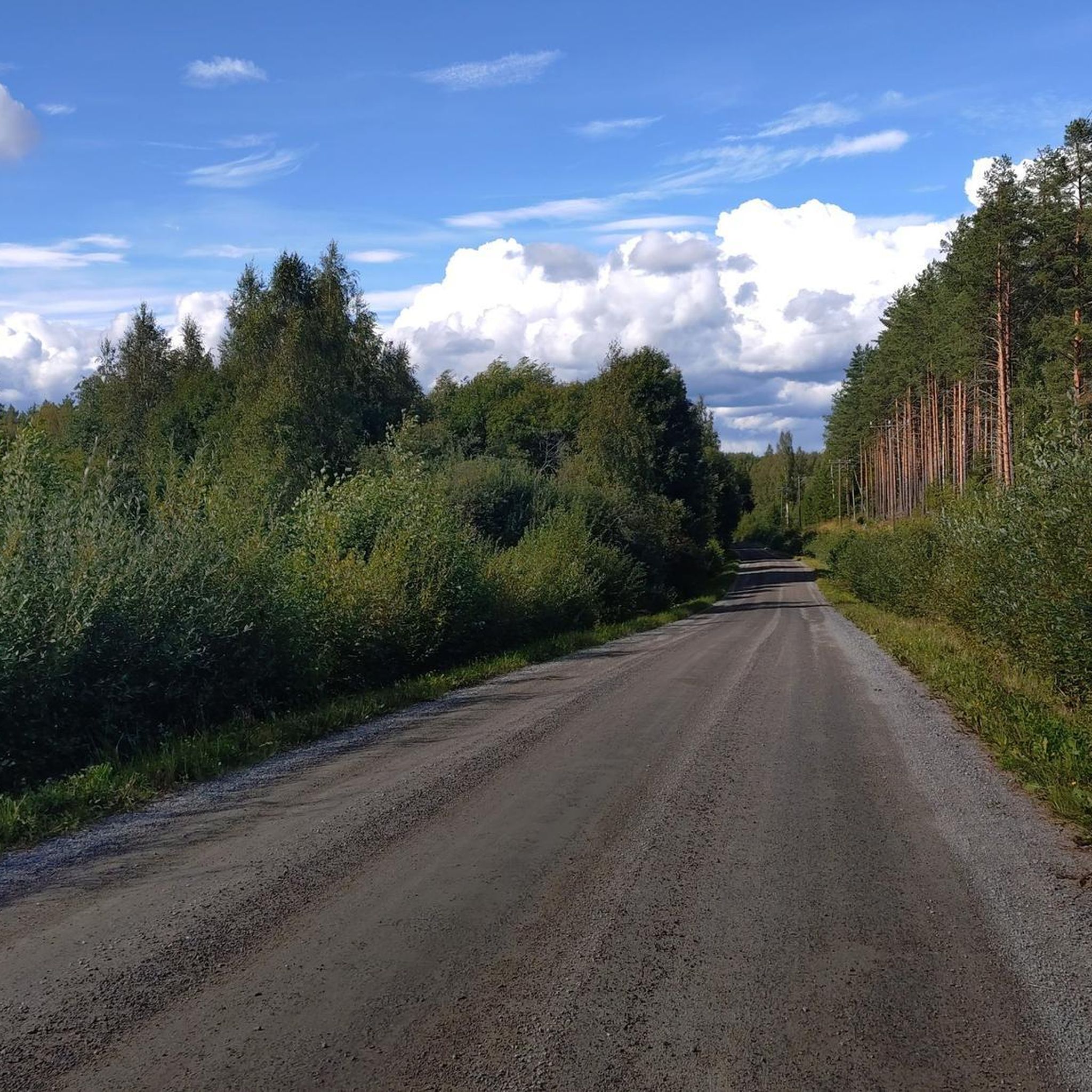
Probably a neccessary evil. A hard push up to get over the hill to drop down into Pycombe (heading south).
0
0

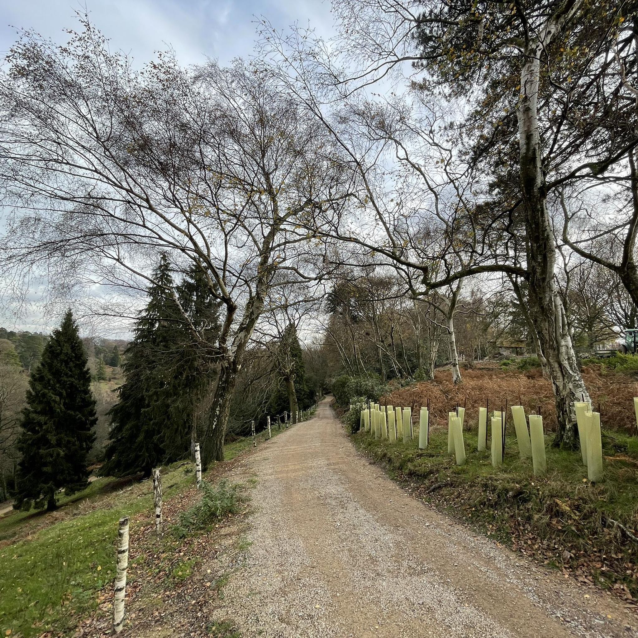
Rising to a maximum height of 206 metres (676 ft), Wolstonbury Hill projects into the weald from the main ridge of the South Down giving views of both the Downs and the Weald. Views across the Weald to the north are panoramic, to the east are the Clayton Windmills and Ditching beacon is Visible beyond. Looking west one can see Newtimber Hill, West Hill with Devil's Dike just beyond, further out Chanctonbury Ring is clearly visible. quite a challenging walk coming from the north however you are treated with great views from the Top and access to other sections of the South Downs.
4
0

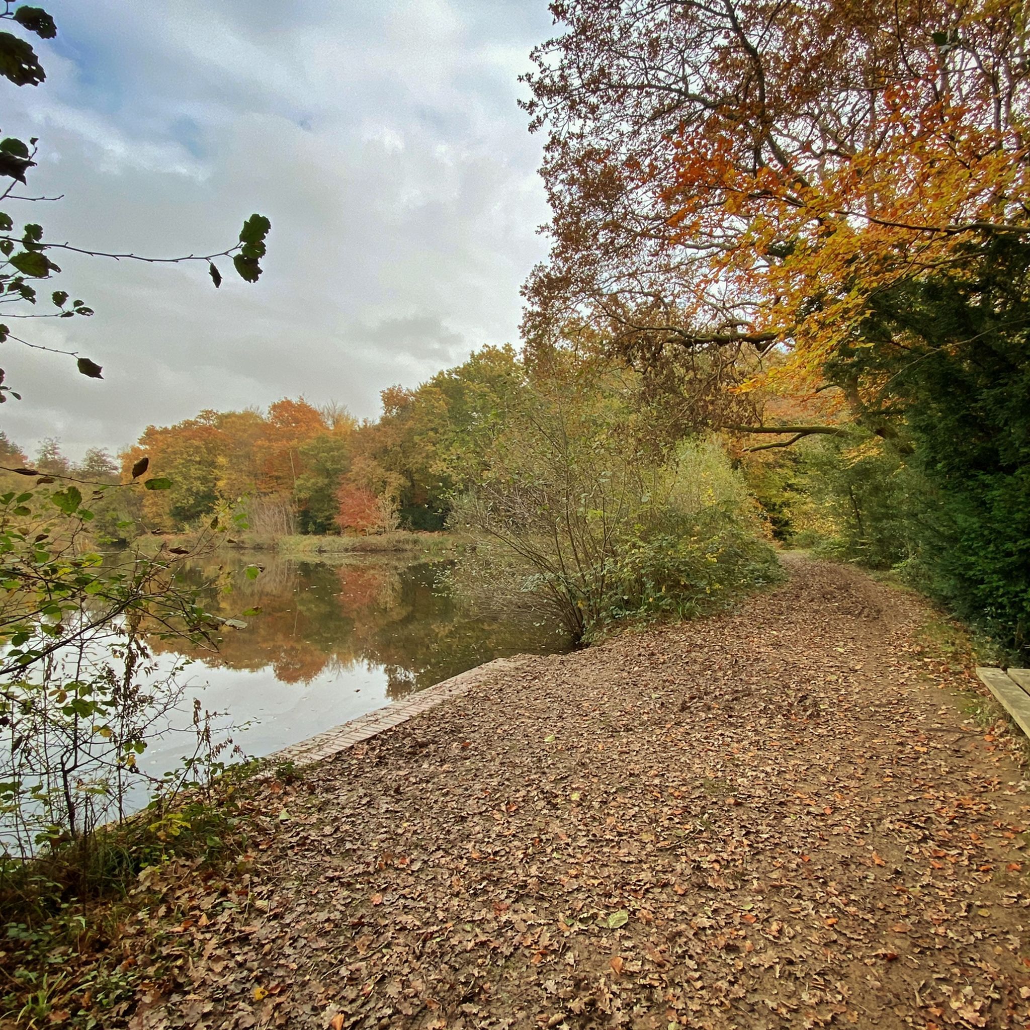
St Leonard's Forest is an extensive woodland that affords cultural history, wildlife spotting opportunities and peaceful walking. The 12 square mile (31 km2) Forestry Commission woodland is part of the High Weald Area of Outstanding Natural Beauty. According to legend, a French hermit lived in the woodland in the 6th century and slayed a dragon amid the ancient trees. It is after him, St Leonard, that the forest is named.
1
0
카우폴드 주변에서 가장 인기 있는 명소


더 살펴보기
카우폴드 주변의 최고의 동굴을 찾기 위해 이 가이드를 확인해보세요:
