멜뢰이에서 가장 멋진 11개의 천연기념물
천연기념물을 방문하여 멜뢰이의 아름다운 풍경을 만나보세요. 멜뢰이에 있는 11
개의 천연기념물과 상세 정보를 살펴본 후에 방문하고 싶은 천연기념물을 다음 모험 계획에 추가해보세요!
마지막 업데이트: 8월 22, 2026

스바르티센 빙하와 호수
하이라이트 • 자연 기념물
번역자 Google •
팁에 의해

이런 장소를 발견하려면 지금 가입하세요
최고의 싱글 트랙, 봉우리 및 다양한 흥미로운 야외 장소에 대한 추천을 받아보세요.
무료 회원 가입
스바르티스바트넷 빙하호
하이라이트 • 호수
번역자 Google •
팁에 의해
Finnes Felszacken
하이라이트 • 자연 기념물
팁에 의해

Finnesfjellet
하이라이트 • 정상
번역자 Google •
팁에 의해

무료로 가입하여 멜뢰이 주변의 더 많은 자연 기념물을 발견하세요.
무료 회원 가입
이미 komoot 계정이 있나요?
오늘 무료 계정으로 시작하세요
다음 모험이 기다리고 있어요.
로그인 또는 가입하기
멜뢰이 주변 인기 장소
커뮤니티 팁

The Finnes are impressive rocky peaks that rise about 25 meters above the ground. They form a stunning group of towers between which you can admire different panoramic views.
0
0

The parking situation directly in Finnes at the start of the hike is very bad and only a few normal cars can find space at all. Instead, we found a nice place for our camper a little outside the village (plus code for location => XPCV+34V Finnes, Norway). From the parking lot you can even access the sea over the stones and cool off after the hike.
0
0
The parking situation directly in Finnes at the start of the hike is very bad and only a few normal cars can find space at all. Instead, we found a nice spot for our camper a little outside the village (plus code for location => XPCV+34V Finnes, Norway). It is directly below the rocky peaks and can even be seen from above. From the parking lot you can even access the sea over the rocks and cool off after the hike.
0
0

HISTORY: The area around Meløy has been completely or partially covered by glaciers several times. Around 20,000 years ago, the inland ice was at its greatest extent during the last ice age. In contrast, the glacier was completely ice-free 8,000 and 6,000 years ago. It was only as a result of large amounts of precipitation and a colder climate that the glacier began to grow again 2,500 years ago. In 1750, the glacier tongue was around two kilometers closer to the fjord than it is today. This can be attributed to the visible moraine ridge left by the glacier north and west of Engenbrevatn. The Østertal ice split into two glacier arms around 100 years ago. The eastern one reached as far as the Svartisen glacier lake. Over the next 50 years, the glacier retreated considerably and no longer reached the lake. In 1910 the glacier front was only 50 metres from the glacier lake, but by 1945 it was already 1000 metres away. As the glacier retreated, another glacier lake was formed on the western edge of the glacier arm. As the ice continued to retreat, the lake grew larger from year to year.
1
1
The Svartisen ("black ice") is the second largest glacier in Norway at 370 square kilometers and is located in Nordland Fylke, just below the Arctic Circle, in the impressive Saltfjellet-Svartisen National Park northwest of the town of Mo i Rana. It has a total of 60 glacier arms. The Glomtal lies between the two main glaciers, the East (Østertaleis) and the West Ice. The Svartisen extends almost all the way down into the Holandsfjord, making it the glacier closest to sea level in Europe.
2
0

Good shoes, sure-footed (sometimes very slippery)
0
0

If you are on the coastal path, you should definitely make a detour here. First we took the Isprins ferry across the Hollandsfjord. From the pier to the “Engabreen” tongue of the second largest Norwegian glacier, Svartisen, it's a relaxed 90 minutes. The panorama is breathtaking throughout. There are a few insurance policies on the mountain itself. Surefootedness and good footwear are essential.
4
1
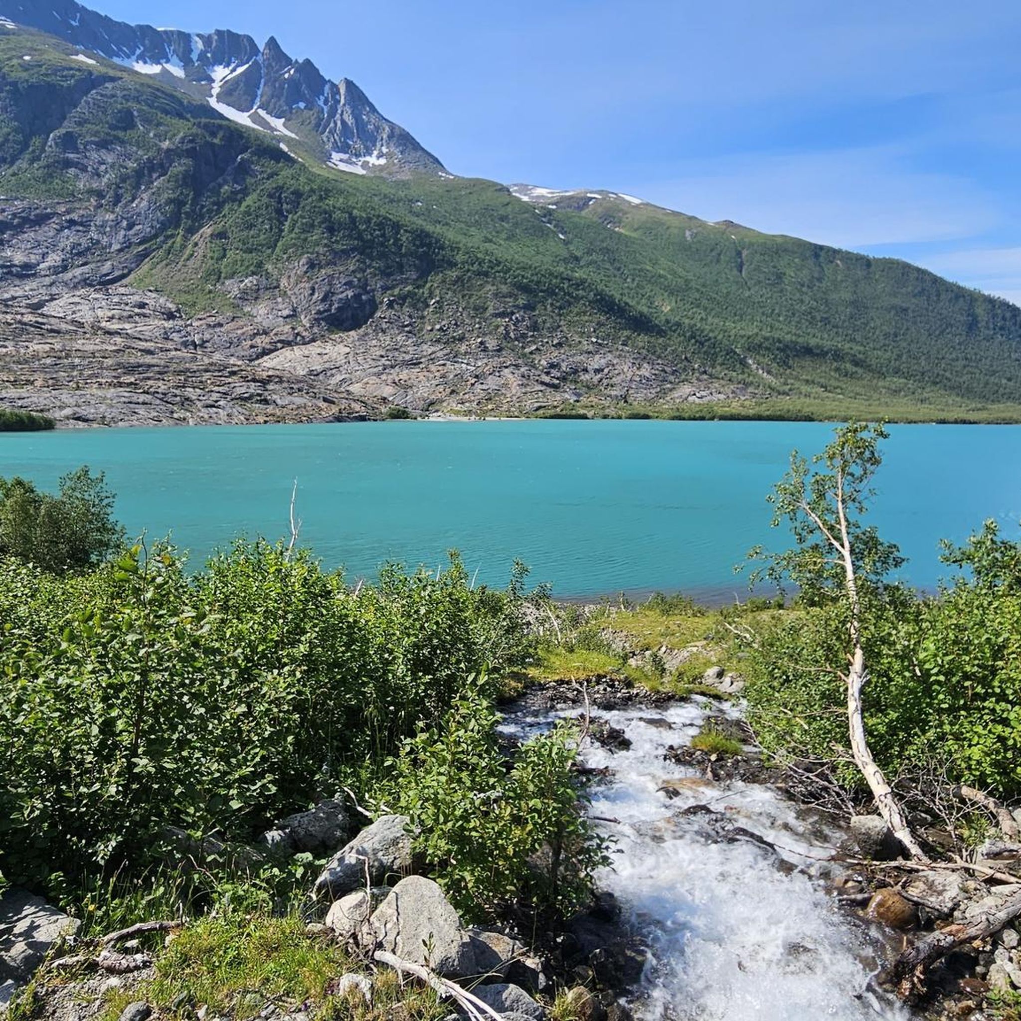
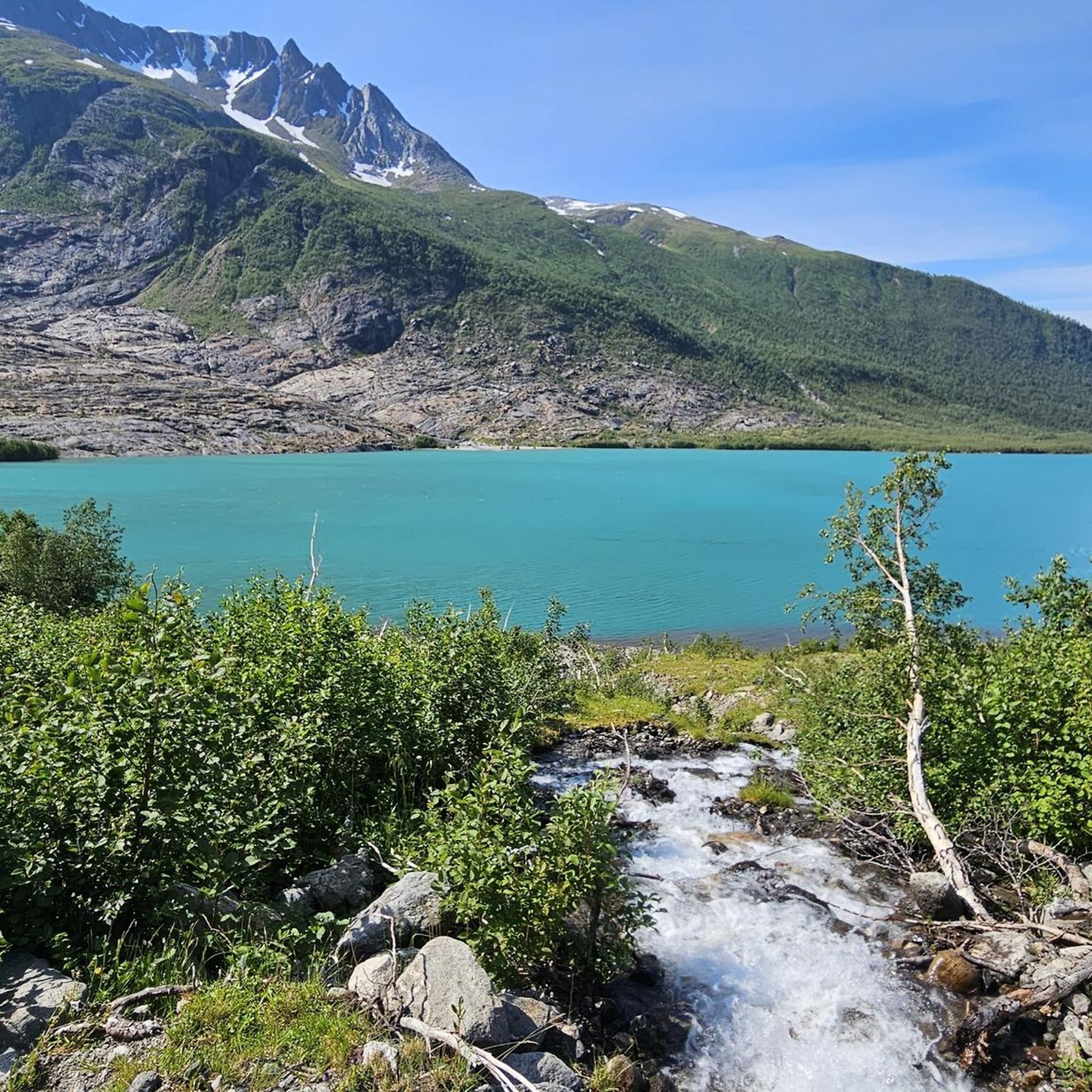
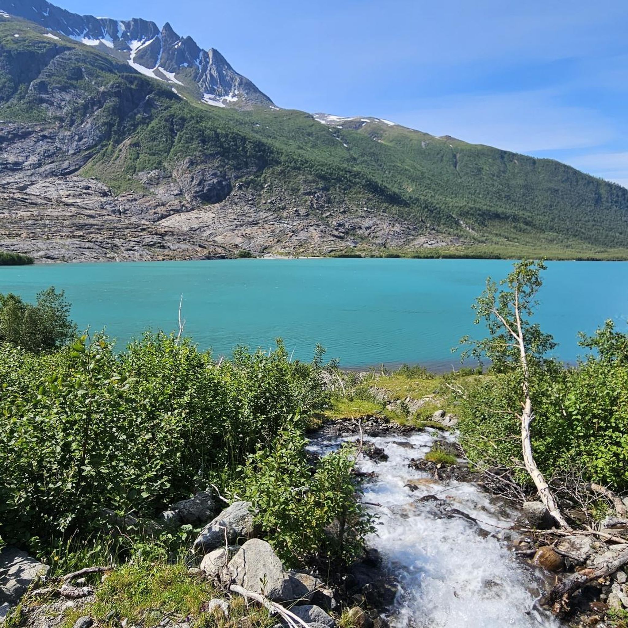
Crystal clear lake that is fed by the meltwater of the Svartisen glacier.
1
0
멜뢰이 주변에서 가장 인기 있는 경로
멜뢰이 주변에서 가장 인기 있는 명소


더 살펴보기
멜뢰이 주변의 최고의 동굴을 찾기 위해 이 가이드를 확인해보세요:
