보콜트에서 가장 멋진 20개의 천연기념물
천연기념물을 방문하여 보콜트의 아름다운 풍경을 만나보세요. 보콜트에 있는 20
개의 천연기념물과 상세 정보를 살펴본 후에 방문하고 싶은 천연기념물을 다음 모험 계획에 추가해보세요!
마지막 업데이트: 9월 5, 2026

Ruiterskuilen 연못
하이라이트 • 호수
번역자 Google •
팁에 의해

이런 장소를 발견하려면 지금 가입하세요
최고의 싱글 트랙, 봉우리 및 다양한 흥미로운 야외 장소에 대한 추천을 받아보세요.
무료 회원 가입
Molhem 선사시대 고분
하이라이트 • 역사적 장소
번역자 Google •
팁에 의해

스미트호프 자연보호구역
하이라이트 • 숲
번역자 Google •
팁에 의해

보스호버하이데 고분군
하이라이트 • 역사적 장소
번역자 Google •
팁에 의해

무료로 가입하여 보콜트 주변의 더 많은 자연 기념물을 발견하세요.
무료 회원 가입
이미 komoot 계정이 있나요?
오늘 무료 계정으로 시작하세요
다음 모험이 기다리고 있어요.
로그인 또는 가입하기

커뮤니티 팁

무덤 언덕은 Breugel 자전거 도로 근처의 짧은 산책 거리에 있습니다. 경로를 따라 여러 정보 표지판에 설명이 있습니다.
1
0

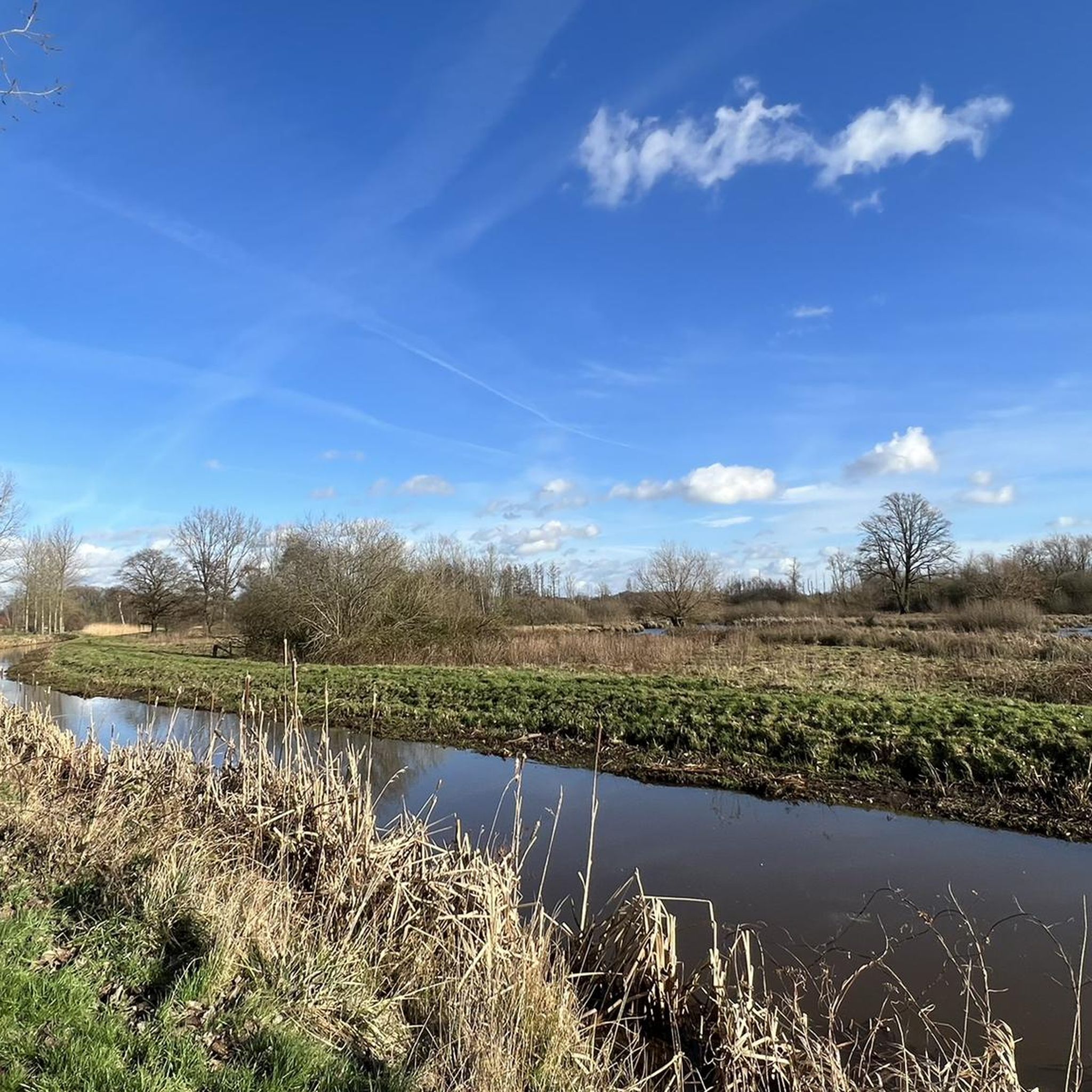
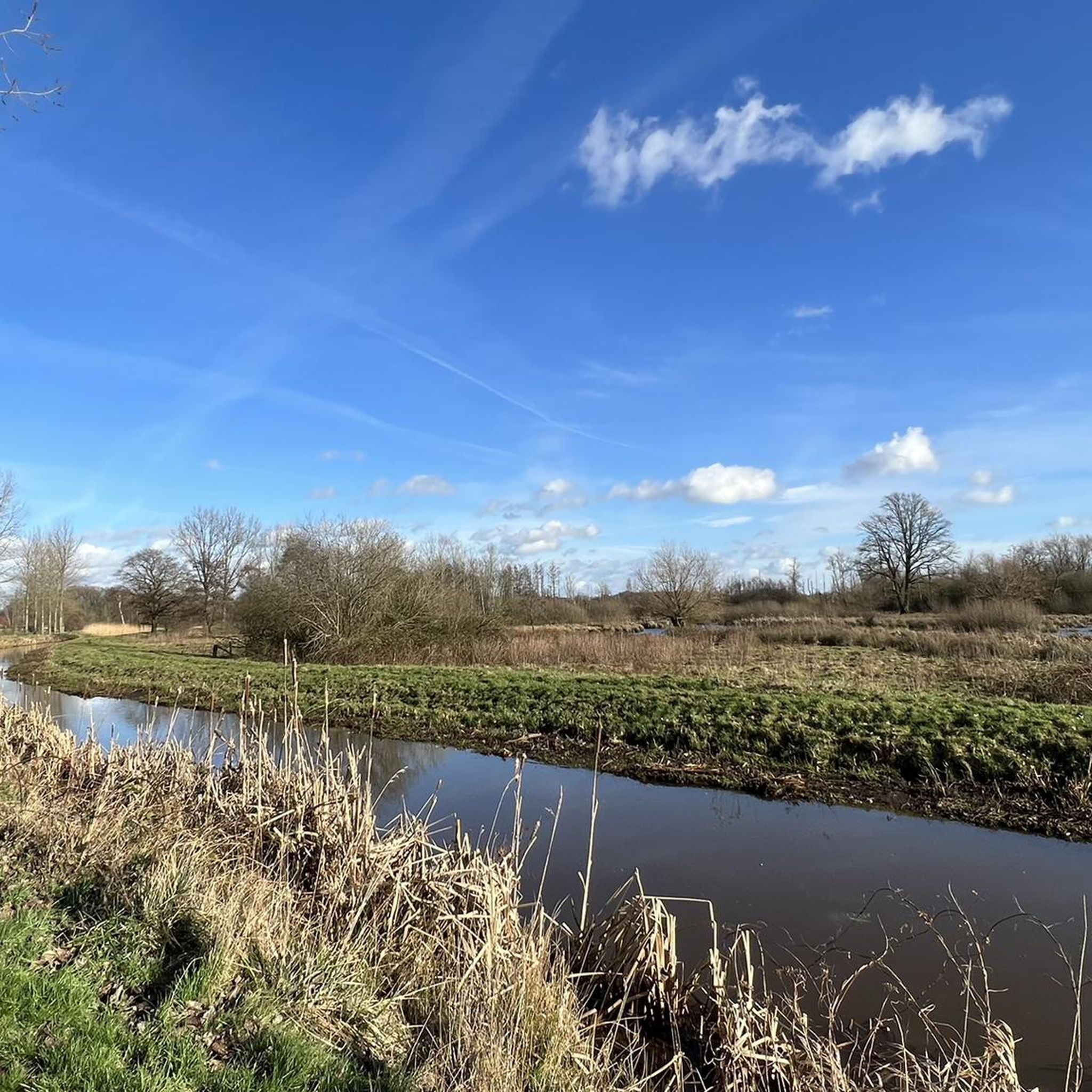
Between Peer-centrum and the church villages of Kleine-Brogel and Wijchmaal lies Molhem, a virtually uninhabited area where peace and quiet reign. It is a unique nature reserve between the Dommel and the Peerderloop. A colourful variety of stream valleys, meadows, fields and forests forms the backdrop. It is this area that our distant ancestors chose to bury their loved ones. Here on Molhem there are also 5 prehistoric burial mounds to be seen. These burial mounds are probably part of a burial field from the period 800 to 500 BC. Not only in Peer but also in the church village of Grote-Brogel there is an extensive prehistoric burial field. In 1959 and 1960 archaeologists investigated 2 burial mounds on the Molhem and about 70 burial mounds in Grote-Brogel. The urns that were found are preserved and exhibited in the Gallo-Roman Museum in Tongeren. Source: https://www.vilters-vanhemel.be/limburg_peer_molhem.html Information boards on site, duplicate: https://www.komoot.com/nl-nl/highlight/344691
3
0

Small parking lot and starting point for various walks, depending on the direction you leave, you can walk straight into the Netherlands.
1
0

The visible mound bodies of heathland plaggen, in round or elongated form, such as burial mounds and long beds, characterize the landscape. A total of 312 round burial mounds and 36 long beds have been registered on the Boshoverheide. The length of the long beds varies between 4.5 and 42 m. The mounds of the Boshoverheide are on average not very high. Of the mounds that were still completely preserved and have since been restored, more than two thirds are no higher than half a meter. The diameter of these mounds ranges from about 4 to 8 meters. The largest mound with a diameter of 17 meters is also the highest at 1.2 meters. Source: https://archeoroutelimburg.nl/de/locatie/archaologische-statte-weert-urnenfeld
0
0


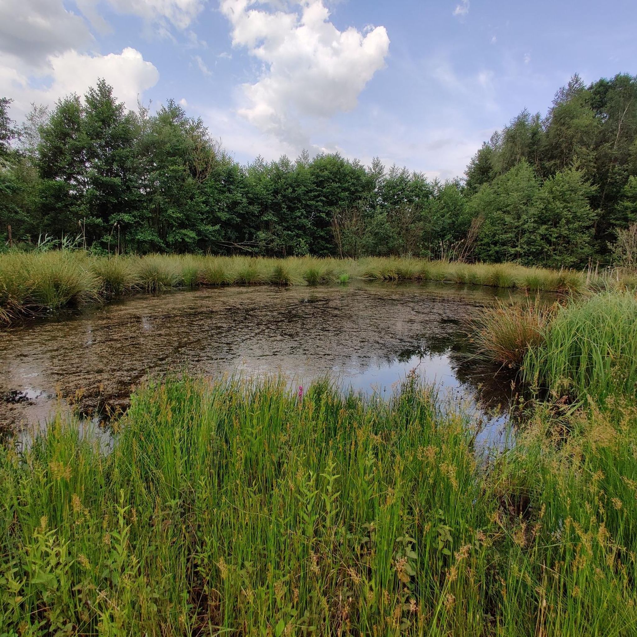
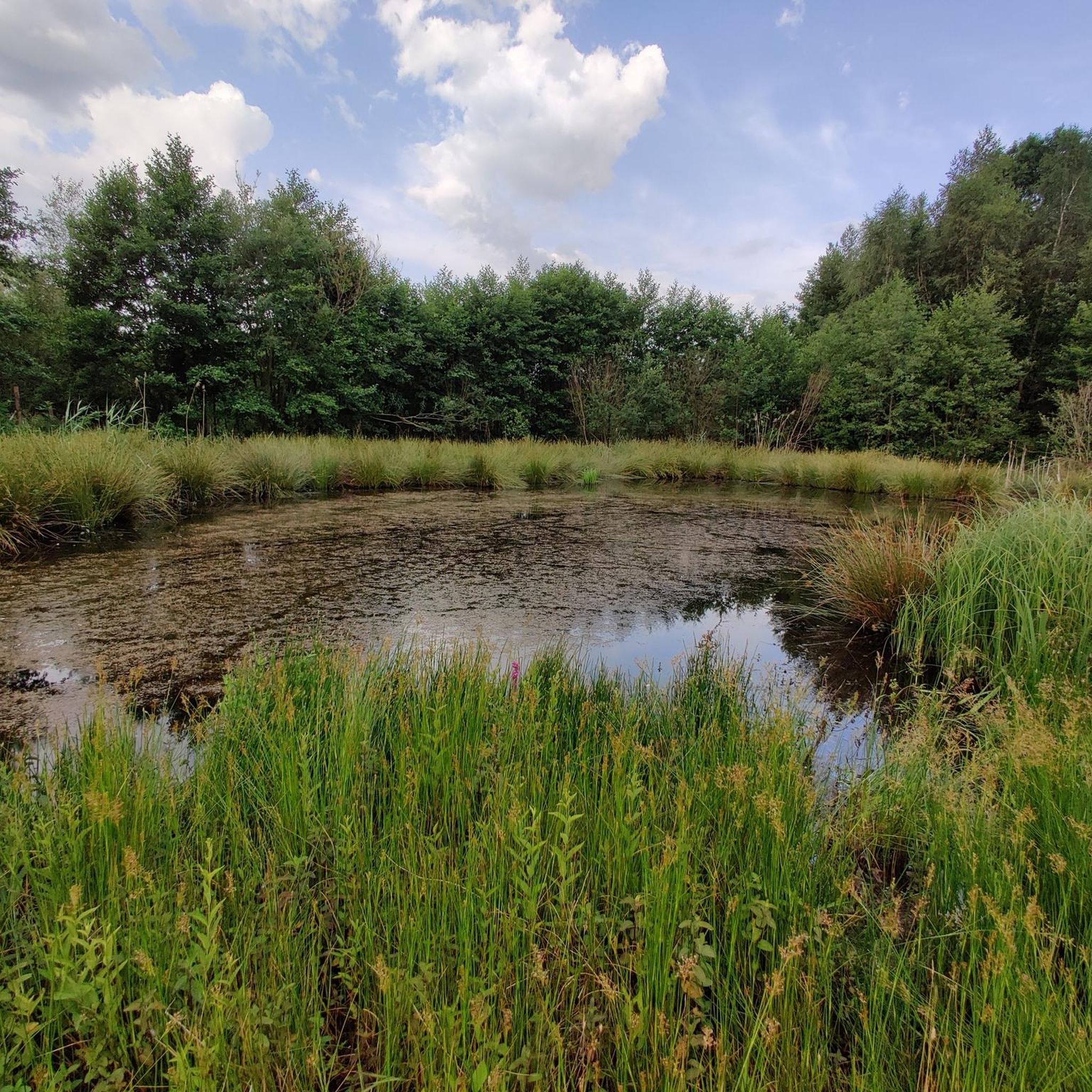
The Ruiterskuilen are two fens in the Ophovenerbos on the Kempens Plateau in the Belgian municipality of Opglabbeek. The fens are characterized by the brown color of the acidic water. The area is protected throughout Europe as part of a Natura 2000 area. Like other fens in this region, the Reiterkuilen were created by sand dusting and are fed exclusively by rainwater. Archaeological research has shown that the podzol soil in the area around the Ruiterskuilen contains an important legacy from the Steen period. In the more recent past, this fen was used as a resting place for horses. In 1798, hidden Lotlings found a suitable hiding place here.
15
0

Unfortunately, there isn't much to see "live". More for insiders. 💁🏻♂️
4
0

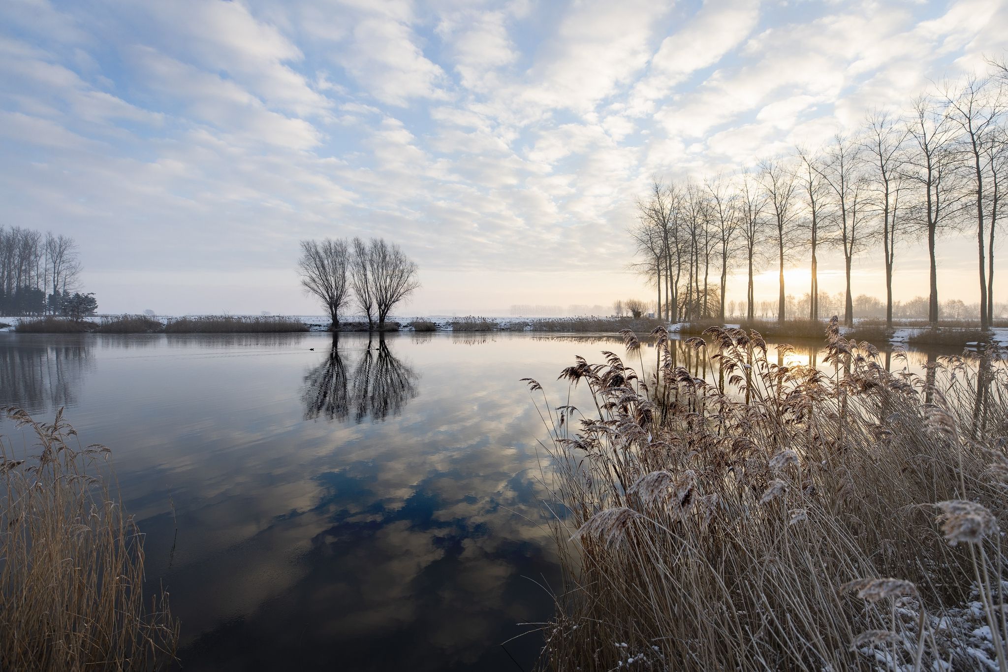
At this location you can see five prehistoric burial mounds, founded by farming communities from this region. From 3000 B.C. Individual burial mounds appear in the landscape for the first time in this region. That is during the Late Stone Age and Early Bronze Age. Later - from 1100 BC. and especially from 850 BC onwards. - small family groups demarcate certain places to honor their dead. We are then in the late Bronze Age to middle Iron Age. These people live dispersed in the area and they cremate their dead. Their ashes are placed in urns and buried in a hole, sometimes under a low burial mound. After a few generations, burial grounds are created, sometimes containing hundreds of graves. The Molhem burial mounds are probably also part of such a burial field from the period 800 to 500 BC.
3
0
보콜트 주변에서 가장 인기 있는 명소


더 살펴보기
보콜트 주변의 최고의 동굴을 찾기 위해 이 가이드를 확인해보세요:
