메신저에서 가장 멋진 20개의 천연기념물
천연기념물을 방문하여 메신저의 아름다운 풍경을 만나보세요. 메신저에 있는 20
개의 천연기념물과 상세 정보를 살펴본 후에 방문하고 싶은 천연기념물을 다음 모험 계획에 추가해보세요!
마지막 업데이트: 10월 29, 2026
Giele Botter 자연 보호구역
하이라이트 • 자연
번역자 Google •
팁에 의해

Prënzebierg – Giele Botter 자연보호구역
하이라이트 (구간) • 자연 기념물
번역자 Google •
팁에 의해

이런 장소를 발견하려면 지금 가입하세요
최고의 싱글 트랙, 봉우리 및 다양한 흥미로운 야외 장소에 대한 추천을 받아보세요.
Härebësch 숲
하이라이트 • 숲
번역자 Google •
팁에 의해

타테르-티아몽 연못
하이라이트 • 호수
Road signs also indicate to slow down so as not to run over amphibians. It's funny.
번역자 Google •
팁에 의해

트랑셰 데 포르 오피둠
하이라이트 • 역사적 장소
번역자 Google •
팁에 의해

무료로 가입하여 메신저 주변의 더 많은 자연 기념물을 발견하세요.
이미 komoot 계정이 있나요?
오늘 무료 계정으로 시작하세요
다음 모험이 기다리고 있어요.
커뮤니티 팁

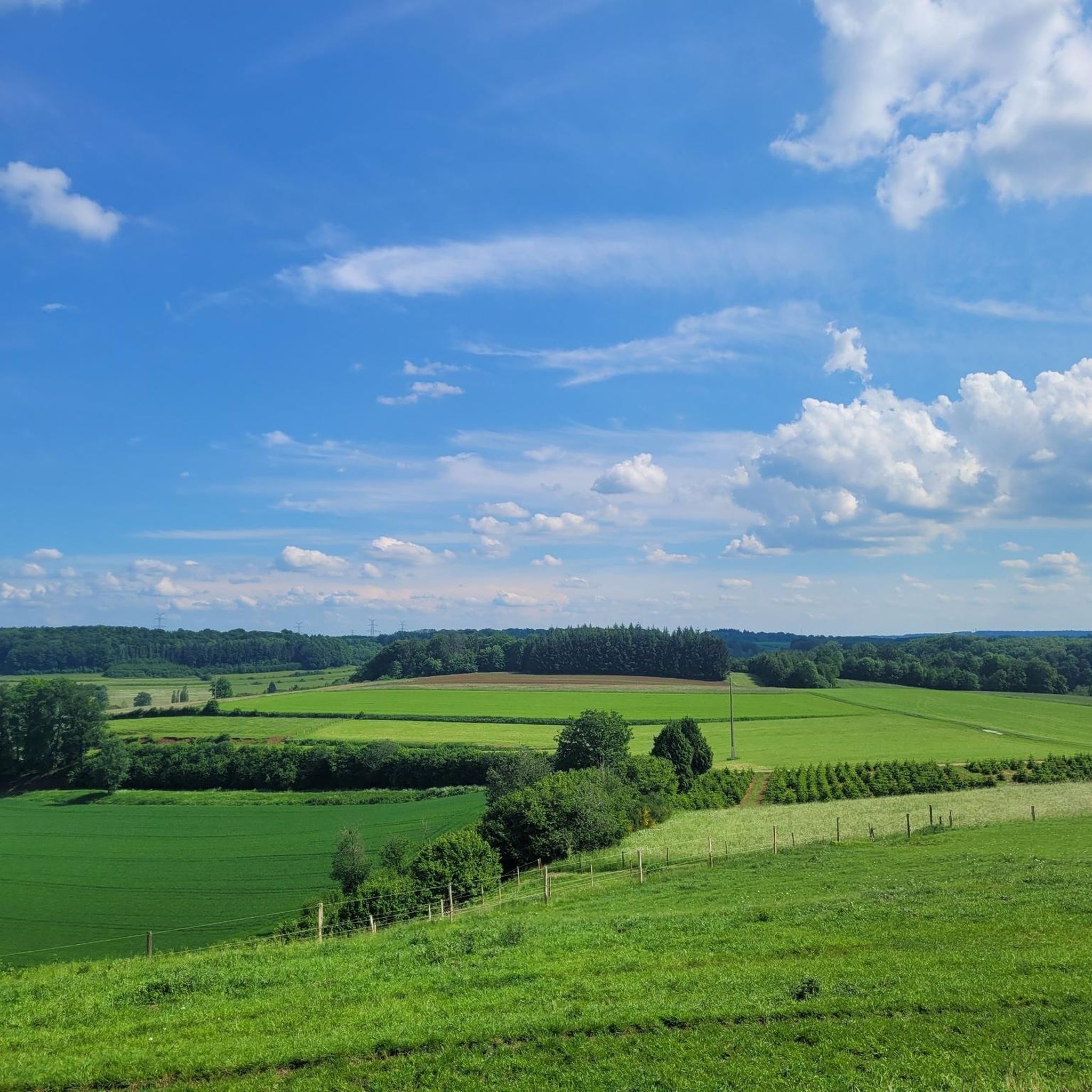
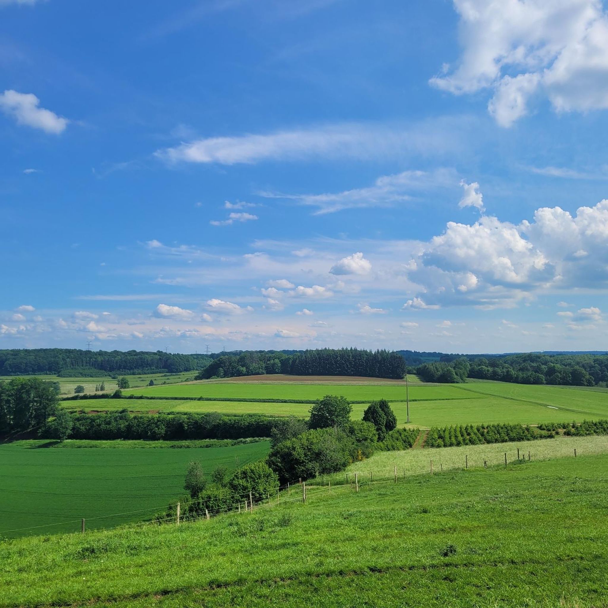
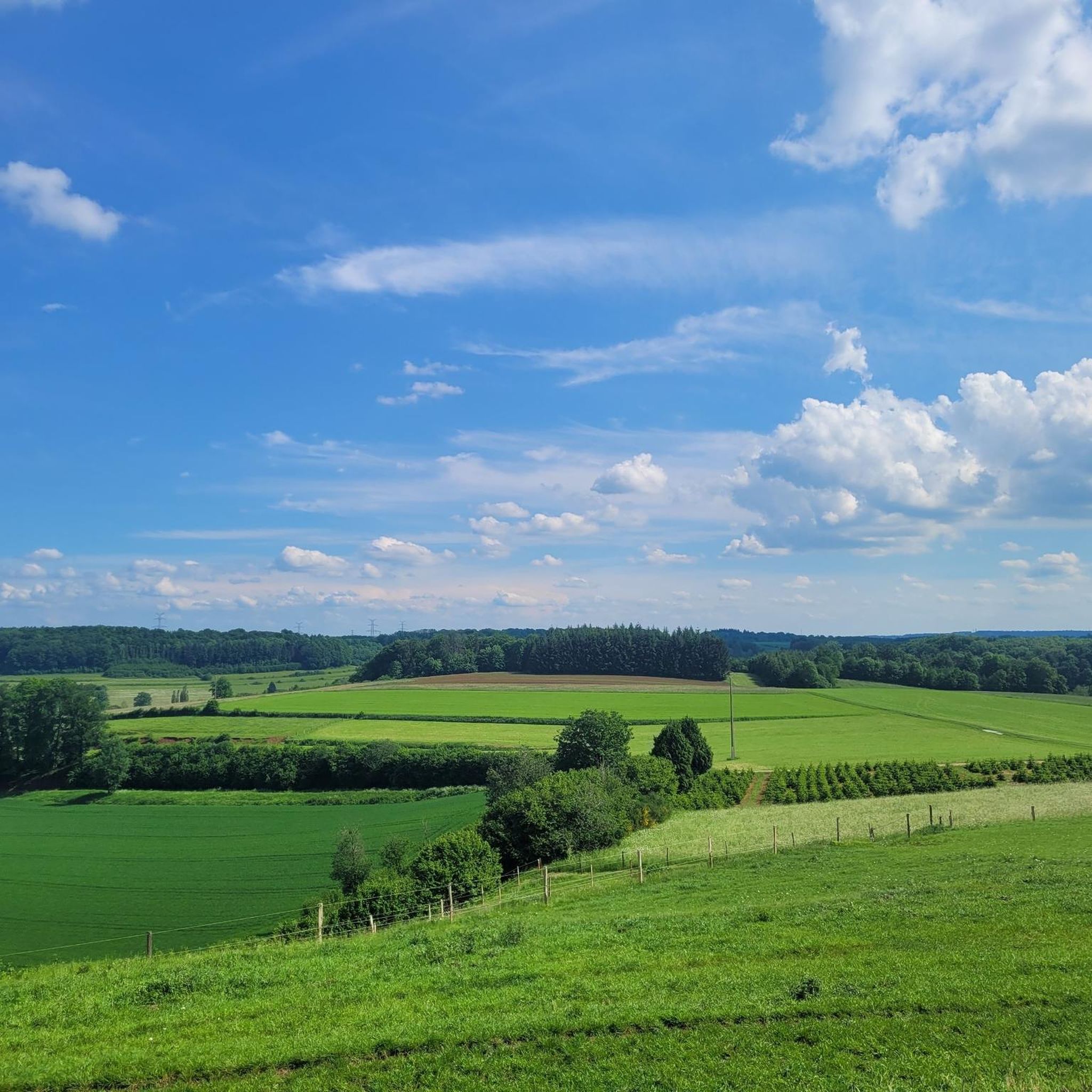
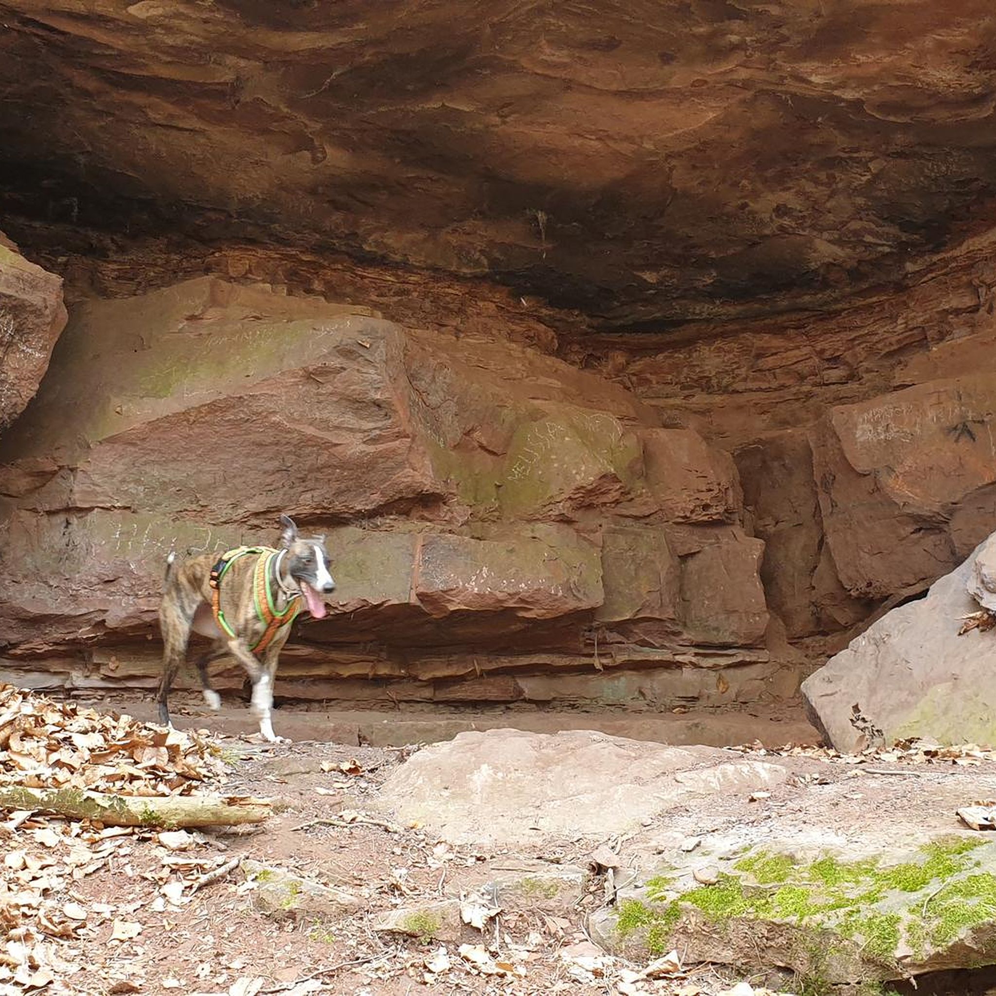
옛 Schlammefeld 철광석 광산에 위치한 Giele Botter 자연 보호 구역은 하이킹하기에 매우 아름다운 곳입니다. 가장 깊은 곳은 종종 습하지만, 2026년 가을 긴 무더운 여름이 지난 후에는 완전히 말라 있었습니다. 바위는 철의 산화(녹 형성)로 인해 주황색을 띱니다. 채굴지는 현재 주로 자작나무로 덮여 있지만, 앞으로 몇 년 동안 이곳에 더 많은 생물 다양성이 나타날 것이라고 생각합니다.
1
0
구 Schlammefeld 철광석 광산에 위치한 Giele Botter 자연 보호 구역은 걷기에 매우 아름다운 곳입니다. 가장 깊은 곳은 종종 습하지만, 2026년 가을, 길고 더운 여름이 지난 후에는 완전히 말라 있었습니다. 암석은 철의 녹(산화)으로 인해 주황색을 띱니다. 채굴장은 현재 주로 자작나무로 덮여 있지만, 앞으로 몇 년 동안 이곳의 생물 다양성이 더욱 풍부해질 것이라고 생각합니다.
1
0

The most beautiful part of the walk. No difficulties despite the route being marked in red on the map.
0
0


The Trench of Gates: Gateway to Gaume, Gateway to Legends 1. What is it? Physical Description The Trench of Gates is a deep and spectacular rocky gorge, naturally carved by the Vire River (a tributary of the Semois) into the sandstone plateau of the Gaume forest. Located in the village of Dampicourt (commune of Rouvroy), on the French border, it forms a narrow and winding notch, framed by high sandstone walls and strangely shaped rocks. Its name comes from its topography: the site gives the impression of crossing several successive natural "gates." 2. A Strategic Position: Military History The true fame of the Trench of Gates comes from its historical role as a natural fortress and strategic border post. A Gallic Stronghold? : Its easily defensible configuration suggests that it was used as a refuge since the Gallic era. The Roman Fort: Its strategic role became evident during the Roman era. The Romans established a castellum (a fortified camp) there to control the passage between Belgic Gaul and Imperial Trier, and to protect the nearby Roman road. Remains of these fortifications were still visible several centuries ago. A Millennial Challenge: Due to its position on the border, the site has been contested and fortified throughout history, from the Middle Ages to modern wars. It offered an ideal control point over one of the few passable passages through the region's wooded terrain.
1
0


The Tranchée des Portes covers an area of 100 hectares. It is the largest Iron Age stronghold in Belgium. This development required an abundant workforce. The construction and maintenance of the rampart suggest a well-organized social entity. Unlike Montauban, which was occupied occasionally, the Tranchée des Portes is not a refuge but an oppidum, that is to say, a fortified site where people settled for the long term with their livestock and crops. It is a fortification that owes its name to the deep ditch (5 m) that precedes its rampart. Consisting of an earthwork over 3 m high, formerly surmounted by a palisade, this barrier, pierced by 3 gates, extends over 1 km. This type of defensive site is called a barred spur. It was often used in the protohistoric period (Iron Age). We chose a place with 2 or 3 steep and almost impassable sides and we blocked access by building a wall on the vulnerable side with what we found on the site (stones, trees, earth)
2
0
Beautiful walk in a nature reserve in a former open-cast mine
1
0
메신저 주변에서 가장 인기 있는 명소


더 살펴보기
메신저 주변의 최고의 동굴을 찾기 위해 이 가이드를 확인해보세요:
