몬테 그리마노 테르메에서 가장 멋진 20개의 천연기념물
천연기념물을 방문하여 몬테 그리마노 테르메의 아름다운 풍경을 만나보세요. 몬테 그리마노 테르메에 있는 20
개의 천연기념물과 상세 정보를 살펴본 후에 방문하고 싶은 천연기념물을 다음 모험 계획에 추가해보세요!
마지막 업데이트: 8월 22, 2026
산 레오 요새 전망
하이라이트 • 성
번역자 Google •
팁에 의해


이런 장소를 발견하려면 지금 가입하세요
최고의 싱글 트랙, 봉우리 및 다양한 흥미로운 야외 장소에 대한 추천을 받아보세요.
무료 회원 가입

몬테 카르페냐 정상
하이라이트 • 정상
번역자 Google •
팁에 의해

센티에로 델라 루페
하이라이트 • 트레일
번역자 Google •
팁에 의해

무료로 가입하여 몬테 그리마노 테르메 주변의 더 많은 자연 기념물을 발견하세요.
무료 회원 가입
이미 komoot 계정이 있나요?
오늘 무료 계정으로 시작하세요
다음 모험이 기다리고 있어요.
로그인 또는 가입하기
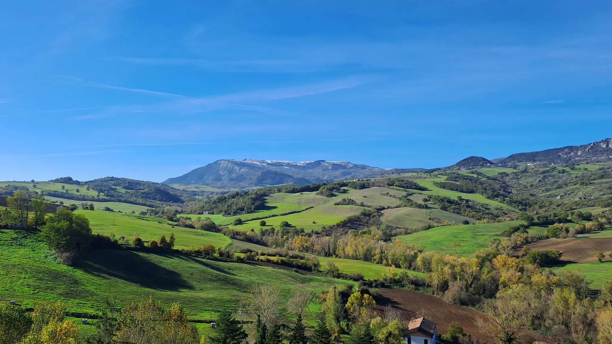
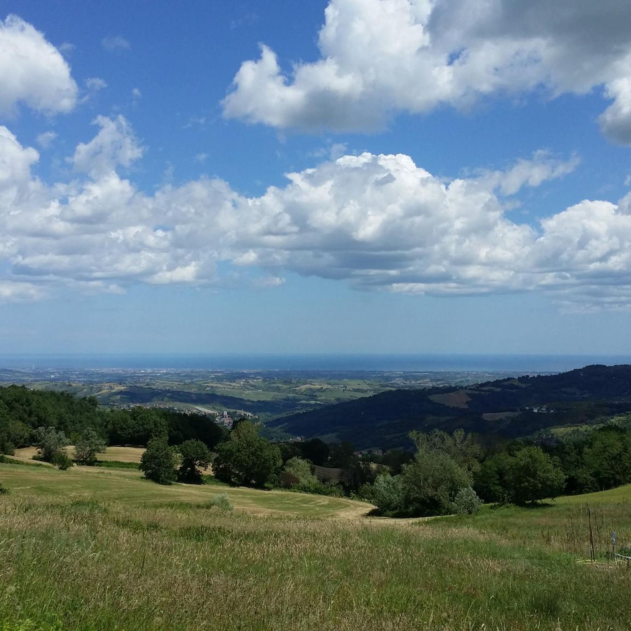
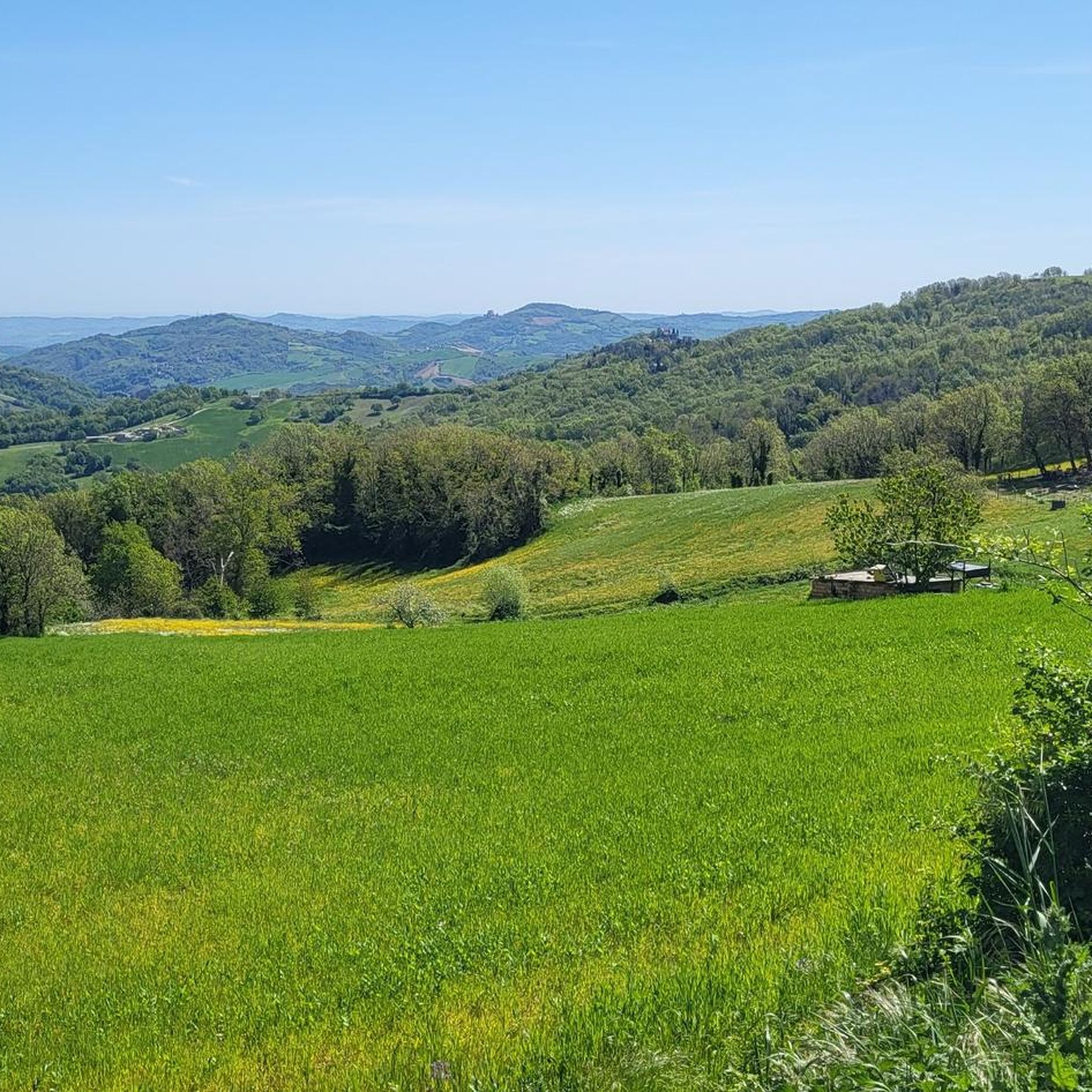
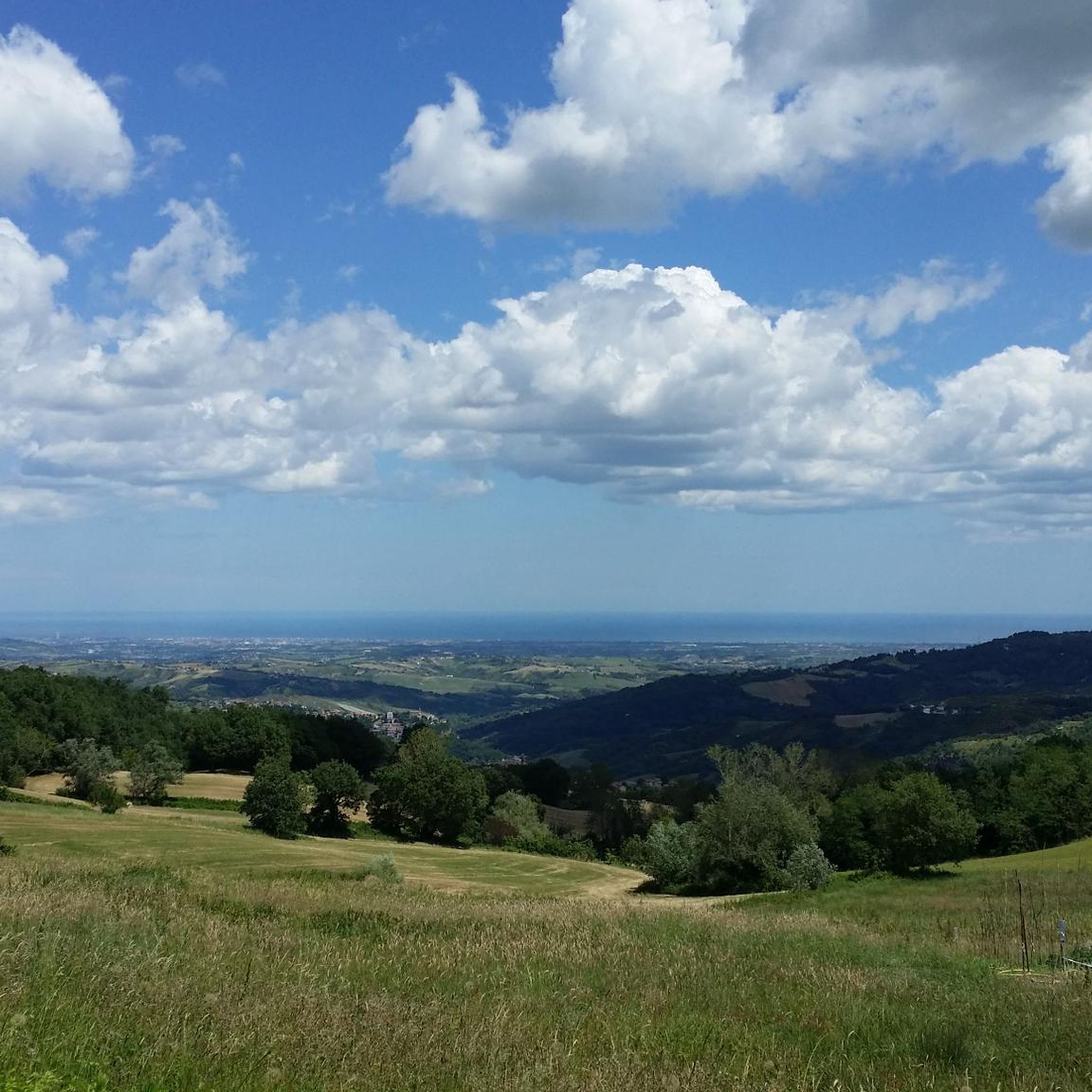

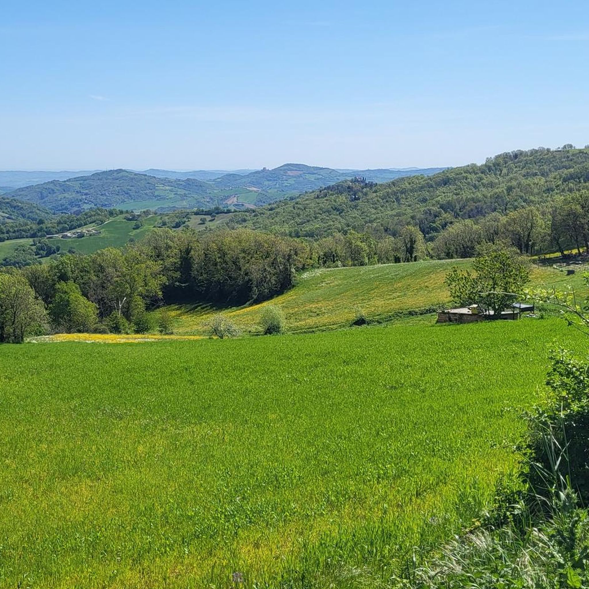

커뮤니티 팁

La Rocca di Maioletto는 1700년대 산사태로 파괴된 고대 마을 유적 위에 세워졌으며, 이는 이 지역에서 가장 심각한 지질학적 사건 중 하나였습니다. 중세 시대에 지어진 이 요새는 전략적 위치 덕분에 중요한 방어 역할을 했습니다. 이곳에서 훌륭한 파노라마 전망을 즐길 수 있습니다. 이 트레일은 매우 가파르고 때로는 미끄러우므로 적절한 신발이 필요하지만, 밧줄의 도움을 받을 수도 있습니다.
1
0
산 레오는 발마레키아 계곡을 내려다보는 석회암 바위 돌출부에 자리 잡은 이탈리아에서 가장 매력적인 중세 마을 중 하나입니다. 몬테펠트로의 옛 수도였으며, 천년의 역사와 풍부한 예술 및 건축 유산을 자랑합니다. 역사적인 중심지와 유명한 요새는 이곳을 로마냐 내륙에서 가장 대표적인 목적지 중 하나로 만듭니다.
1
0
트레일은 꽤 잘 관리되어 있으며, 일부 구간은 매우 가파르지만 전반적으로 잘 조성되어 있어 방문할 가치가 있습니다. 하지만 계단과 가파른 오르막길에 익숙하지 않은 사람들에게는 힘들 수 있습니다. 적어도 트레일은 거의 전적으로 그늘져 있습니다.
1
0


Fully understood in the UNESCO protected area, serves as an excursion link to the historic center of Borgo Maggiore and that of San Marino City, which have also been designated a World Heritage Site. In a few minutes you find yourself completely immersed in the woods, a journey that offers breathtaking views. The path that develops along the half height of Monte Titano, along the entire front of the cliff, skirting the imposing rock walls and passing through the natural terraces, open towards the Adriatic Sea. Among the visible treasures are the nesting of the peregrine falcon, ancient and rare plants such as the Nebrodense ephedra, magnificent climbing routes and the ancient sacred place of the Tanaccia sanctuary. This route also passes along the ancient road connecting the city and the village, the Arnella Coast. Path of the Titan Thematic itinerary n. 1 Cliff Path Length approximately 4km Travel time 2 hours
0
0

Mount Carpegna is a mountain massif of the Tuscan-Romagna Apennines, located on the border between the provinces of Pesaro and Urbino, Rimini and Forlì-Cesena. The highest peak is Monte Carpegna, which reaches 1,415 meters above sea level. The massif is characterized by beech, oak and chestnut woods, and by meadows and pastures.
0
0
The Rocca di Maioletto is an ancient fortress located in Maiolo, in the province of Rimini, Emilia Romagna, Italy. The fortress was built on a gigantic mass of sand and clay and dominates the valley.
0
0
The Rocca di Maioletto is an ancient fortress located in Maiolo, in the province of Rimini, Emilia Romagna, Italy. The Rocca di Maioletto was built on a gigantic boulder of sand and clay and the few restored ruins are the remains of one of the most difficult fortresses to conquer in the entire Valmarecchia and Montefeltro. Legend has it that the fortress of Maioletto and the village below were destroyed by a landslide, which tradition indicates occurred between 29 and 30 May 1700 as divine punishment for an "angelic dance held within the castle walls".
1
0
몬테 그리마노 테르메 주변에서 가장 인기 있는 명소


더 살펴보기
몬테 그리마노 테르메 주변의 최고의 동굴을 찾기 위해 이 가이드를 확인해보세요:
