루피나에서 가장 멋진 10개의 자전거 공원
루피나에 있는 멋진 자전거 공원에서 재미있는 추억을 만들어볼까요? 커뮤니티가 공유한 컬렉션을 아래에서 살펴보면서 가장 멋진 자전거 공원 트레일을 찾아보세요. 자전거 공원 지도와 상세 정보를 클릭하면 원하는 자전거 공원을 다음 모험 계획에 간편하게 추가할 수 있어요.
마지막 업데이트: 10월 15, 2026
몬테 조비 (992m)
하이라이트 • 정상
The trails are poorly maintained, especially those descending into the Mugello, often eroded by rainwater and reduced to drainage ditches.
Now, …
번역자 Google •
팁에 의해

Rincine MTB 트레일 지역
하이라이트 • MTB 공원
번역자 Google •
팁에 의해

이런 장소를 발견하려면 지금 가입하세요
최고의 싱글 트랙, 봉우리 및 다양한 흥미로운 야외 장소에 대한 추천을 받아보세요.
세키에타 풍력 터빈
하이라이트 • 기념물
번역자 Google •
팁에 의해


산타 카테리나 숲길에서 몬테 세키에타까지
하이라이트 (구간) • 트레일
번역자 Google •
팁에 의해

무료로 가입하여 루피나 주변의 더 많은 자전거 공원을 발견하세요.
이미 komoot 계정이 있나요?
오늘 무료 계정으로 시작하세요
다음 모험이 기다리고 있어요.
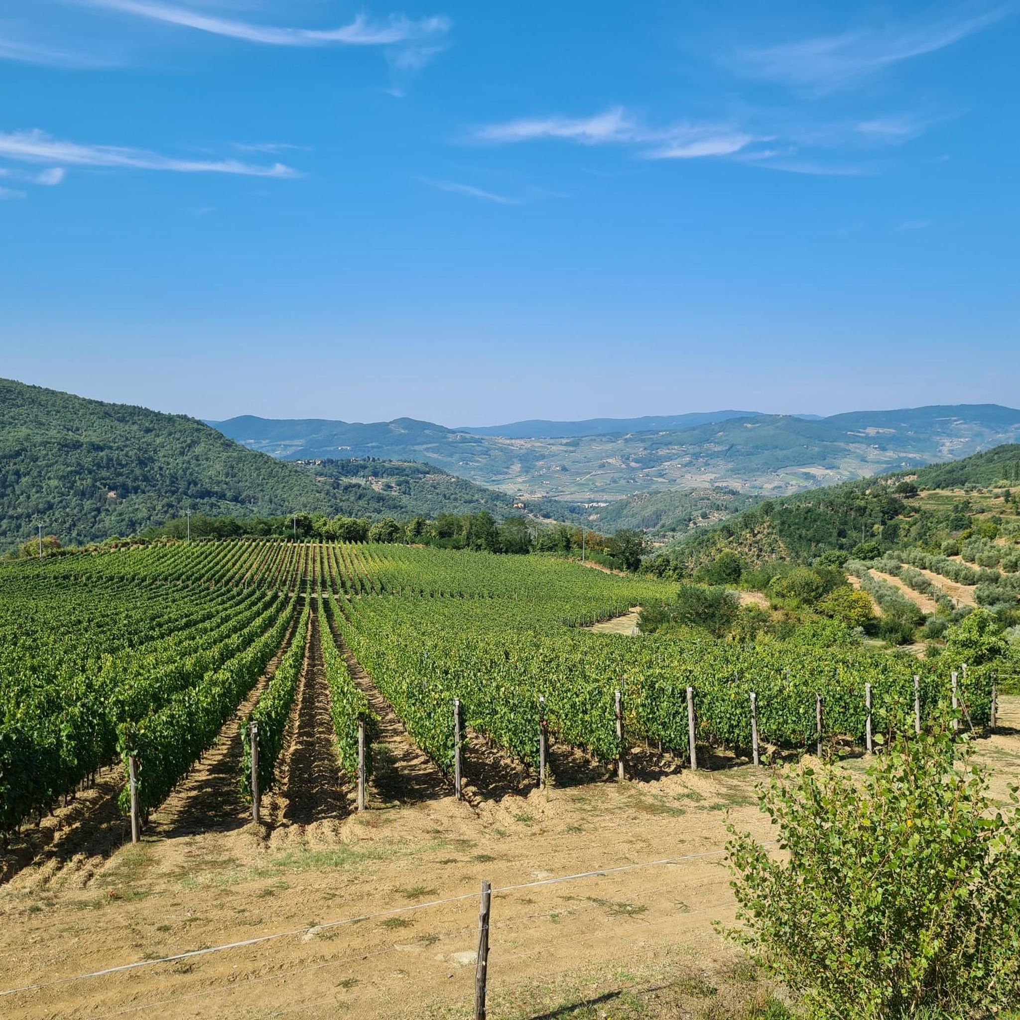
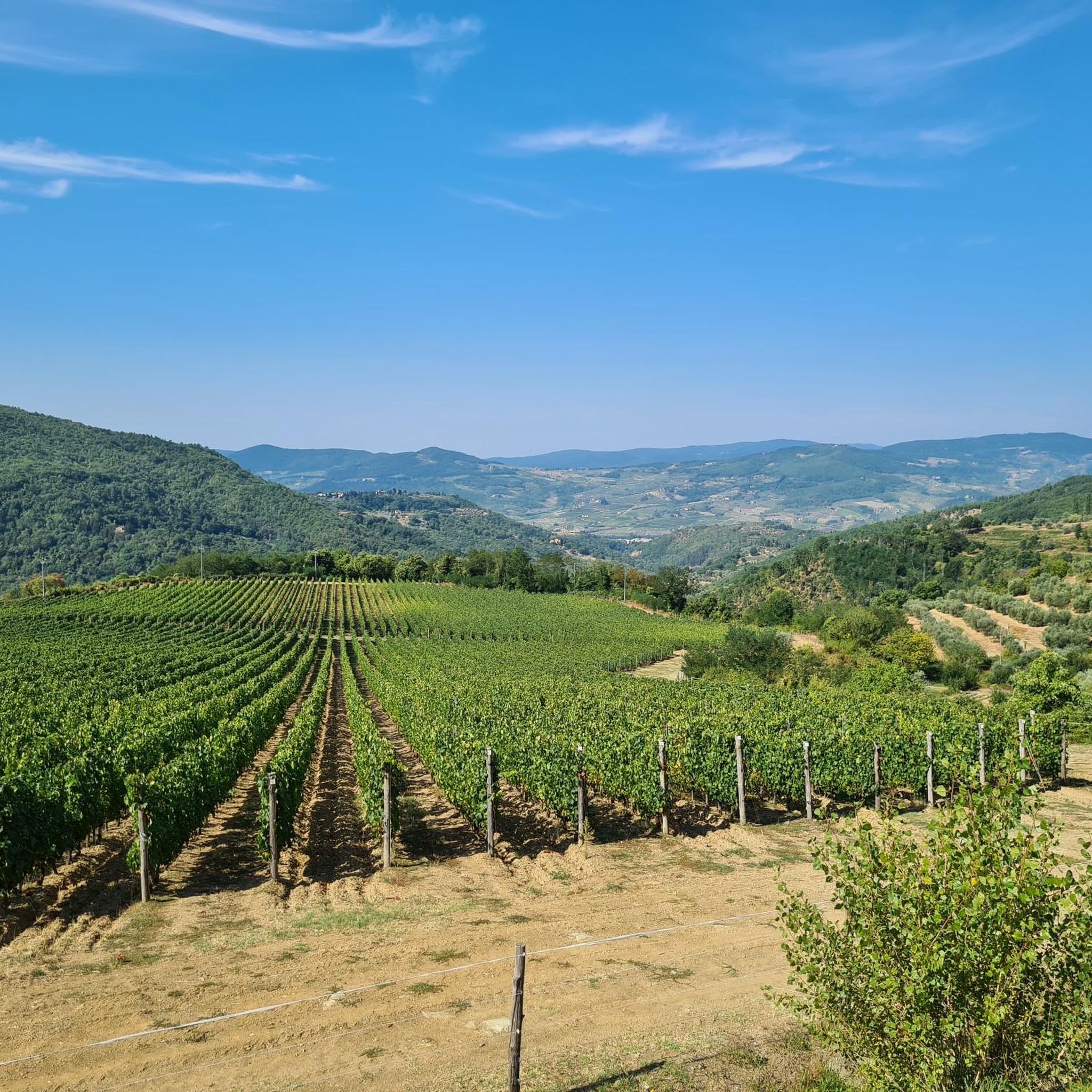
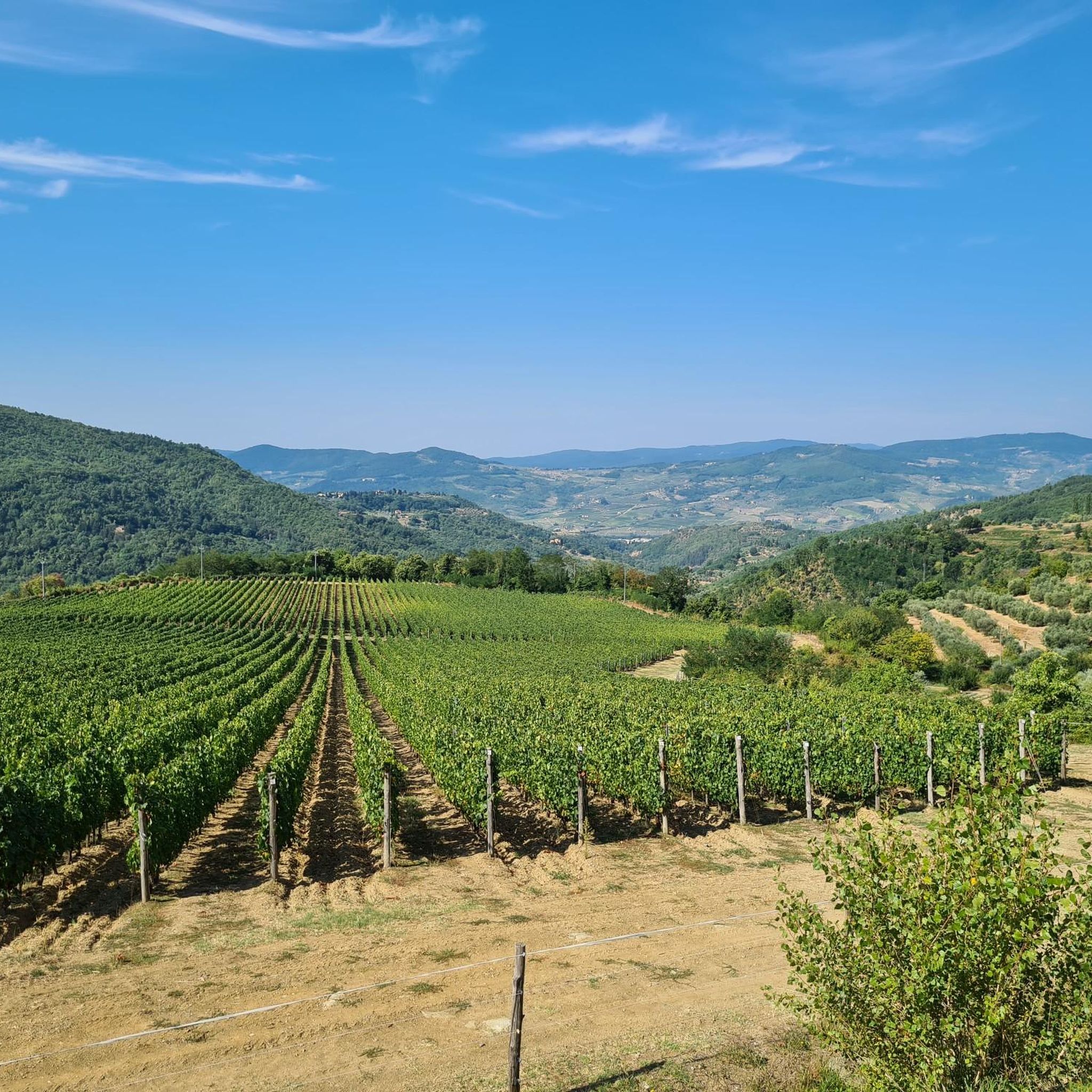
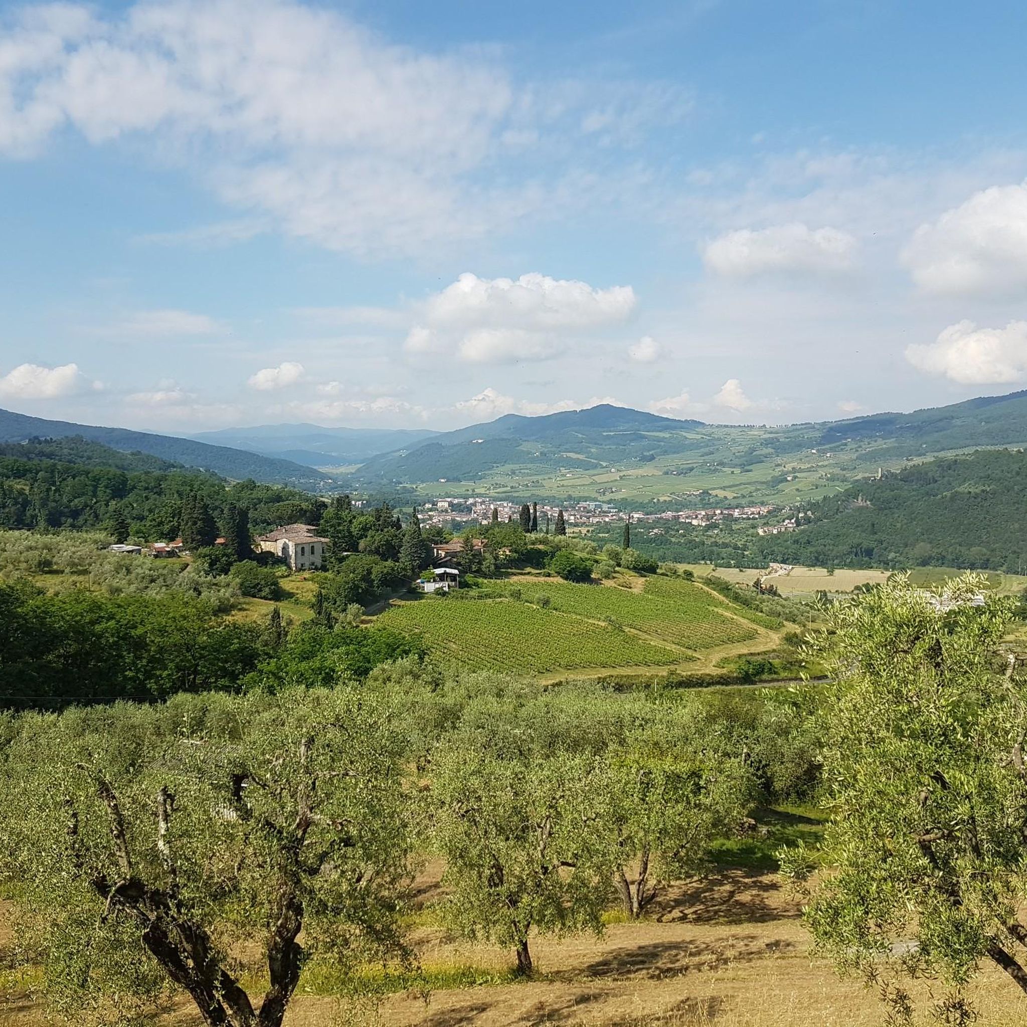

커뮤니티 팁

너도밤나무 숲의 아름다운 임도. 한 지점에서만 오르막이 매우 거칠어집니다
0
0

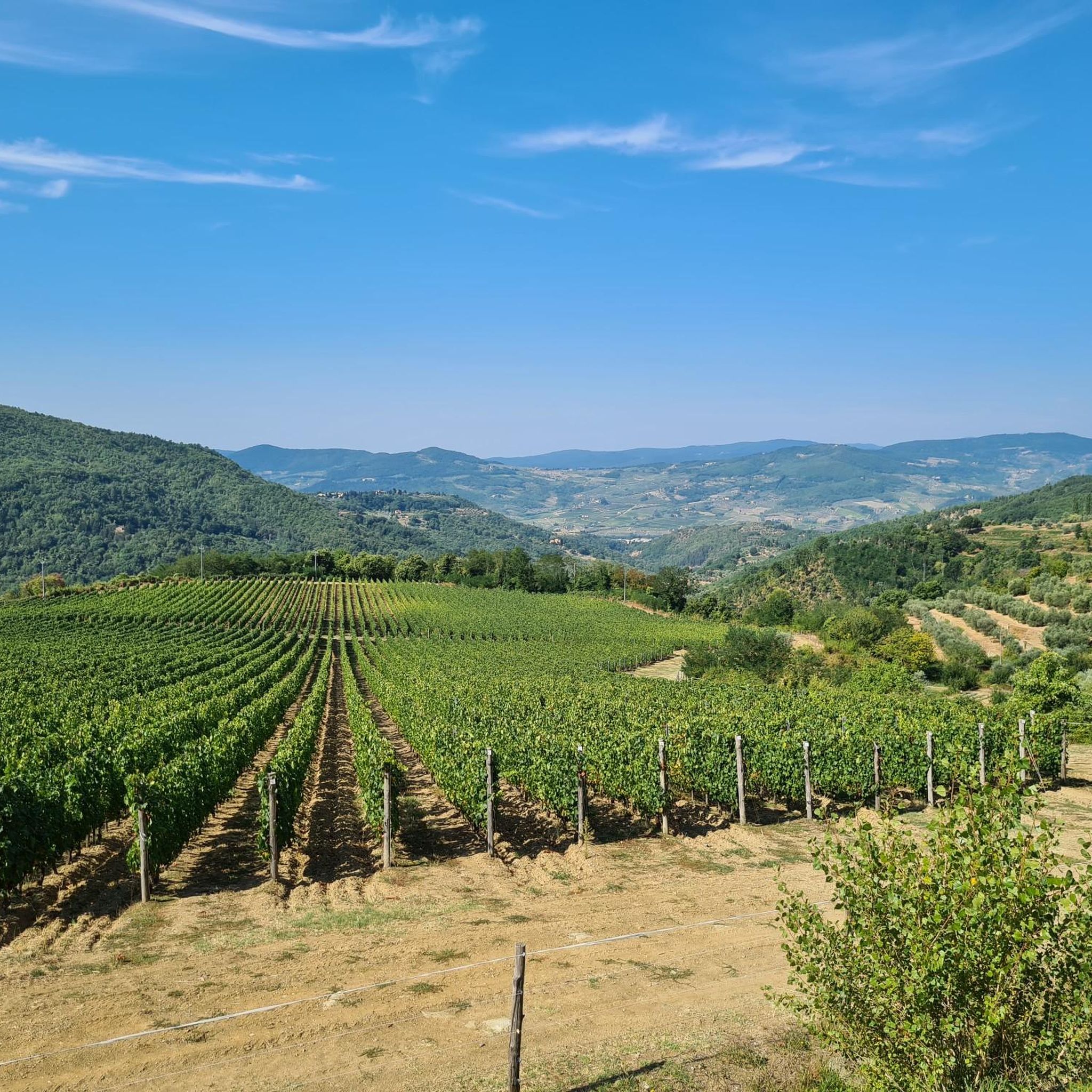
A panoramic mountain between the Sieve Valley and Mugello. The trails are poorly maintained, especially those descending into the Mugello, often eroded by rainwater and reduced to drainage ditches. Now, as in many other areas of Tuscany, the Path of the Gods, now popular with young people, has been removed and kept clean, and brambles and undergrowth are everywhere, often obscuring the old trails and making them inaccessible. A real shame! Because the views offered by the ridges and peaks deserve much greater attention, both politically (by local authorities) and socially (by volunteers).
4
0

Monte Giovi, also known as "Monte di Giove", stands at an altitude of 992 meters and is located on the Apennine ridge between the Morello and Senario mountains. Its slopes are dotted with paths perfect for walking or mountain biking, also thanks to themed routes, including some that remember and celebrate the Resistance.
0
0

Mount Secchieta is certainly a place that lends itself well to various mountain bike rides, with gravel only being the main road on the ridge. Be careful because it is particularly exposed to the wind so even a sunny day can bring cold temperatures at the gates of autumn. The area offers several bivouacs, low altitude compared to the ridge, with possible overnight stops. The water sources, except those at the managed refuges, almost always release only a light trickle.
1
0

Shortly after the Santa Caterina restaurant, a beautiful and challenging forest road about 6 km long starts which, passing through Macinaia, leads to the top of Monte Secchieta. The surface is stony and slippery at times, with holes and roots: the road is therefore more suitable for MTBs than for gravel bikes. The slopes are significant and never fall below 10%.
3
0


For those interested in the lift service with the van, there is the Firenze Freeride App to download where you can book the service
1
0


더 살펴보기
완벽한 자전거 공원을 아직 찾고 계신가요? 이 장소의 가이드를 확인해보세요:
