드렌치아에서 가장 멋진 6개의 자전거 공원
드렌치아에 있는 멋진 자전거 공원에서 재미있는 추억을 만들어볼까요? 커뮤니티가 공유한 컬렉션을 아래에서 살펴보면서 가장 멋진 자전거 공원 트레일을 찾아보세요. 자전거 공원 지도와 상세 정보를 클릭하면 원하는 자전거 공원을 다음 모험 계획에 간편하게 추가할 수 있어요.
마지막 업데이트: 8월 21, 2026
MataDown 트레일 – Passo Glevizza
하이라이트 • MTB 공원
번역자 Google •
팁에 의해

Trivio 트레일
하이라이트 • MTB 공원
The initial part is fast and …
번역자 Google •
팁에 의해
이런 장소를 발견하려면 지금 가입하세요
최고의 싱글 트랙, 봉우리 및 다양한 흥미로운 야외 장소에 대한 추천을 받아보세요.
무료 회원 가입
Positive Sport
하이라이트 • MTB 공원
번역자 Google •
팁에 의해

Stador 플라니나에서 Ljubinj까지 MTB 하강
하이라이트 (구간) • MTB 공원
번역자 Google •
팁에 의해

Castelmonte MTB 오르막길
하이라이트 (구간) • 등반
번역자 Google •
팁에 의해

무료로 가입하여 드렌치아 주변의 더 많은 자전거 공원을 발견하세요.
무료 회원 가입
이미 komoot 계정이 있나요?
오늘 무료 계정으로 시작하세요
다음 모험이 기다리고 있어요.
로그인 또는 가입하기



커뮤니티 팁

The outdoor agency offers everything you need for your road bike adventure – from maps and tour tips to the right bike if you're traveling without your own. From Kobarid, you can reach some of Slovenia's most beautiful roads – with spectacular views, minimal traffic, and plenty of elevation gain if you want. You can rent the right bike (MTB and road bike) and receive suitable route suggestions. The agency can also organize support vehicles, luggage transport, and guided and self-guided road bike tours. And the best part: After your tour, you can stay in your own apartment – just 100 meters from the town center. Restaurants, bars, and everything you need are within walking distance. More information and booking: www.positive-sport.com.
0
0

Done downhill, first section up to just below Oborza as the crow flies doable, after steep cobblestones alternating with dirt sections dug out and full of channels and holes that make your bike jump everywhere. Not recommended for a gravel bike
0
0

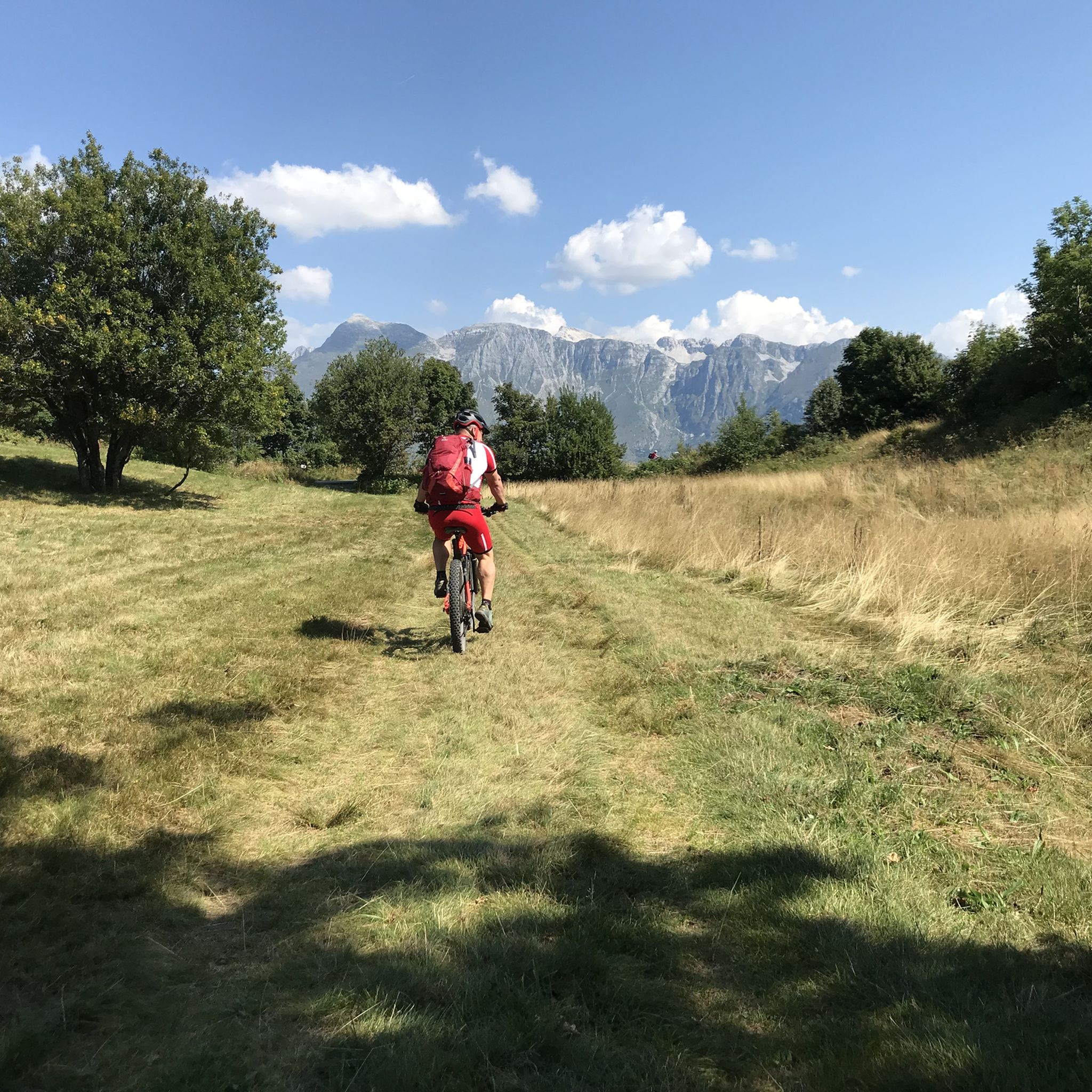
Made on gravel but better on mtb for more agile gears on the hardest slopes. super-beautiful!!!
0
0

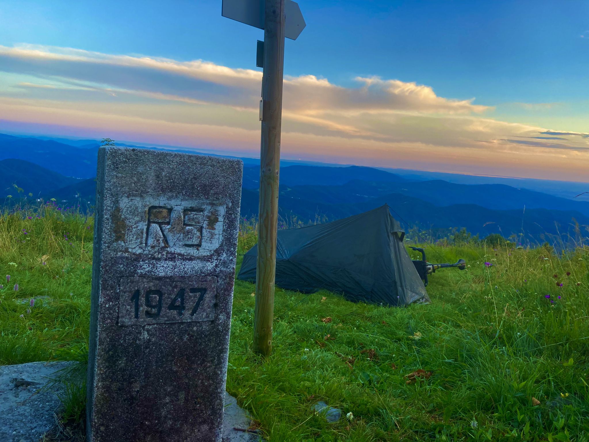
This is a good place to start downhill.
0
0
It's in the forest and you don't notice much of a pass. :)
0
0

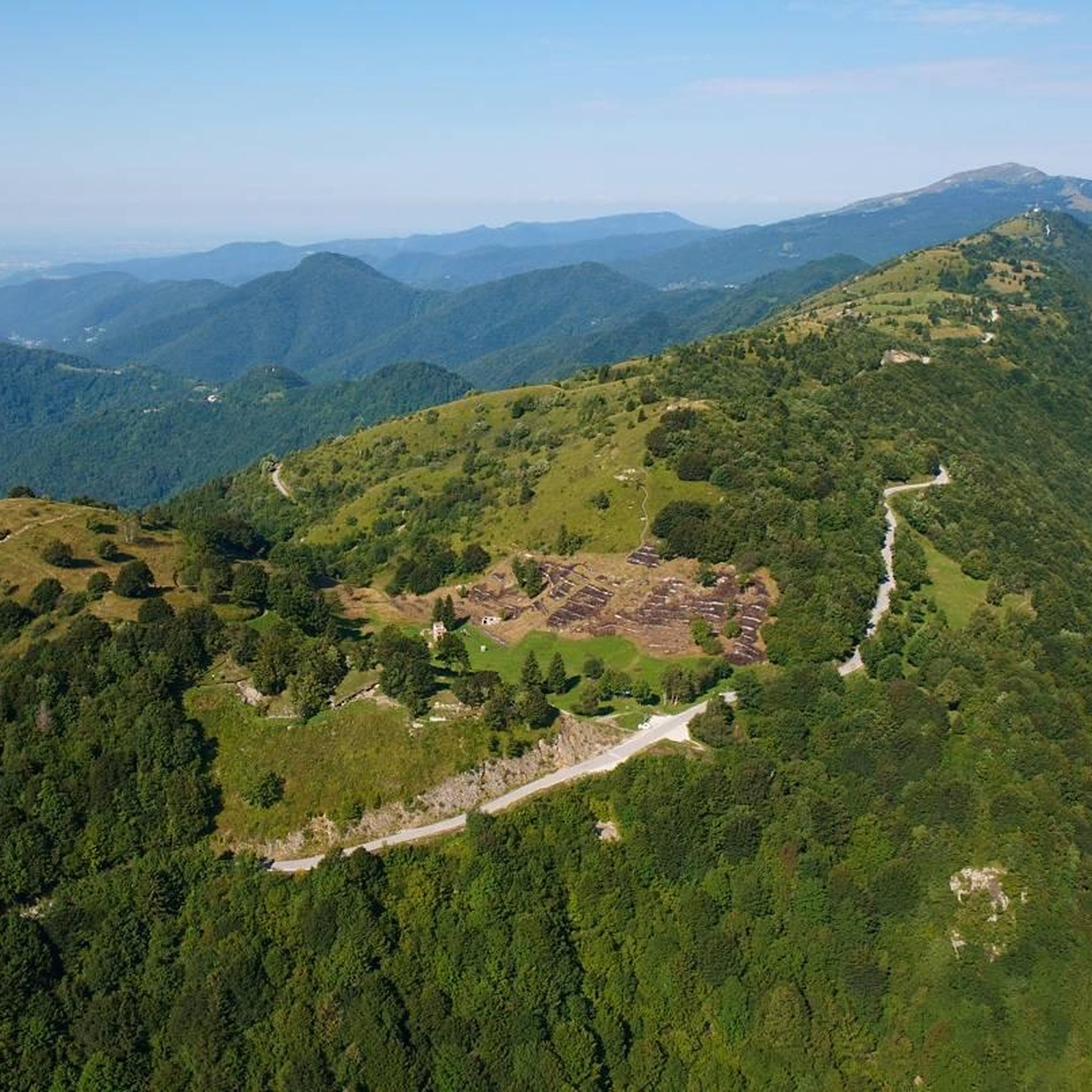
Path that from Trivio leads down to the valley, near San Leonardo. Path entirely in the woods with some stretches of cobbled mule track. The initial part is fast and drivable, with some small raises. They follow from two more technical walls where you can make use of your skills (although there are alternative lines recommended in case of mud). We continue with a more flowy part with some variants built using a gully. At this point you come across two stony stretches with some drops, very fun and fast, to be tackled with caution in the event of a wet route. The final part is on a slight slope and you have to drive clean in order not to lose speed. Length: 2,341 meters Negative height difference: 410 meters Positive height difference: 7 metres
4
1

The ascent was huge through great nature trails.
2
0
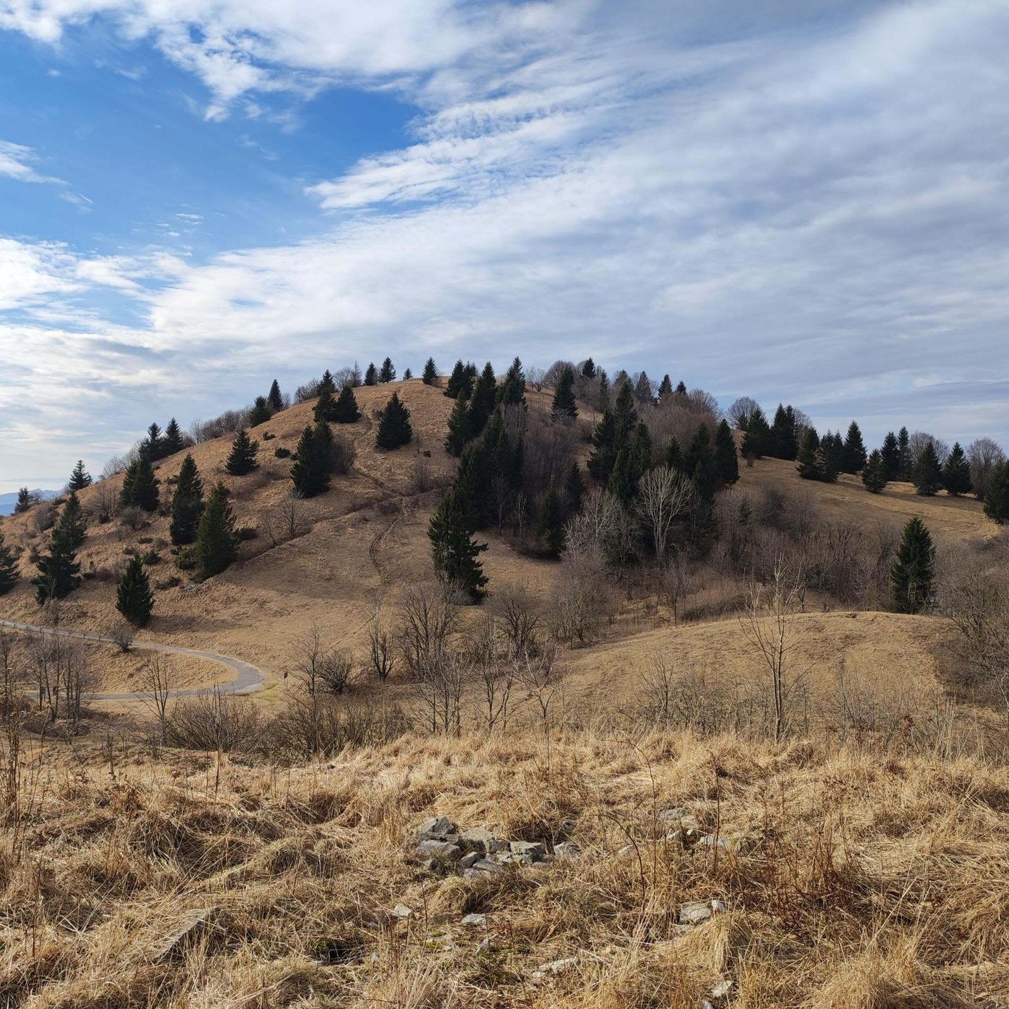
A pass located on the slopes of Mount Matajur. The area can be reached from Montemaggiore or the famous MataDown descent, popular among gravity skiers.
0
0


더 살펴보기
완벽한 자전거 공원을 아직 찾고 계신가요? 이 장소의 가이드를 확인해보세요:
