알타빌라 실렌티나에서 가장 멋진 11개의 천연기념물
천연기념물을 방문하여 알타빌라 실렌티나의 아름다운 풍경을 만나보세요. 알타빌라 실렌티나에 있는 11
개의 천연기념물과 상세 정보를 살펴본 후에 방문하고 싶은 천연기념물을 다음 모험 계획에 추가해보세요!
마지막 업데이트: 10월 15, 2026


이런 장소를 발견하려면 지금 가입하세요
최고의 싱글 트랙, 봉우리 및 다양한 흥미로운 야외 장소에 대한 추천을 받아보세요.
Colle Medoro
하이라이트 • 전망대
If you reach it via the Medoro pass via a via ferrata, you need mountaineering experience, so appropriate clothing and footwear are required.
번역자 Google •
팁에 의해
미켈레 치켈로 고개
하이라이트 • 협곡
번역자 Google •
팁에 의해
Grotte di Castelcivita
하이라이트 • 동굴
번역자 Google •
팁에 의해

무료로 가입하여 알타빌라 실렌티나 주변의 더 많은 자연 기념물을 발견하세요.
이미 komoot 계정이 있나요?
오늘 무료 계정으로 시작하세요
다음 모험이 기다리고 있어요.
커뮤니티 팁

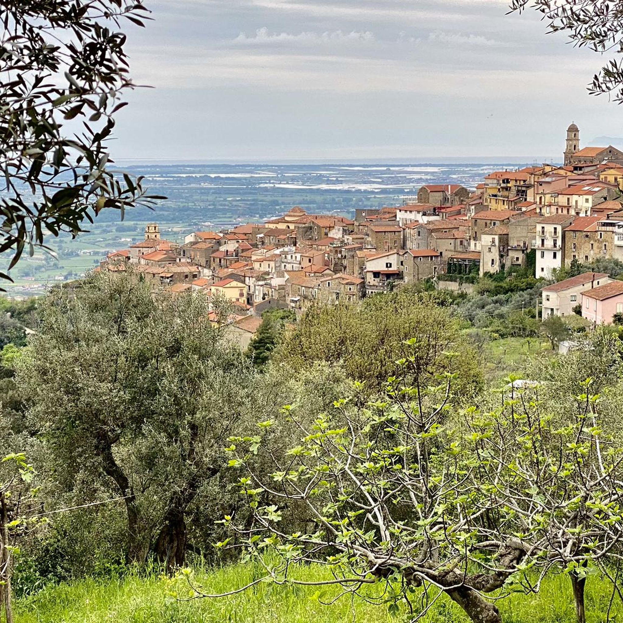
셀레는 캄파니아의 중요한 강으로, 길이가 64km이며, 볼투르노 강 다음으로 볼륨이 큰 남부 이탈리아에서 두 번째로 큰 강으로 티레니아 해로 흘러 들어갑니다. 셀레 강 유역은 Foce Sele - Tanagro 자연 보호 구역으로 보호됩니다.
0
0


The Castelcivita Caves are a true natural wonder. The system is still active and continues to form stalactites and stalagmites. To visit, I recommend checking the website, as they only open at certain times of the day. It's definitely worth it!
1
0

Colle Medoro is an important mountain pass located in the Alburni Mountains in Campania, known for being a transit and access point for challenging hikes, especially towards Monte della Nuda. It offers spectacular views and trails through beech forests and limestone slopes, requiring appropriate equipment and good physical condition. Main features: Location: It is located in the Alburni Mountains, overlooking the area from Postiglione. Landmark: It is a key pass to reach the summit of Monte della Nuda (1,704 m). Difficulty: The trails that cross it are classified as challenging (EE - Expert Hikers), with significant elevation gain and sections that may require mountaineering experience and mountaineering equipment. Trails: It connects several locations, such as Postiglione, passing through the Grotta di Sant'Elia and climbing towards the summit of Monte della Nuda. Ambience: It offers evocative scenery with woods, rocky ridges, and expansive 360° views from the summit. In short, Colle Medoro is a destination for experienced hikers who seek the wild beauty of the Alburni and are ready for a demanding challenge.
1
0
From Monte della Nuda to descend to Postiglione, initially follow path 311 passing through the "Varco Michele Cicchiello". Rather narrow and deep. It is difficult to cross it with a backpack on your shoulders. The Pass is equipped with a via ferrata of a few tens of metres. Mountaineering experience and appropriate clothing and shoes.
3
0
Once you reach Colle Medoro, you can rest and enjoy the beautiful views. If you reach it via the Medoro pass via a via ferrata, you need mountaineering experience, so appropriate clothing and footwear are required.
3
0
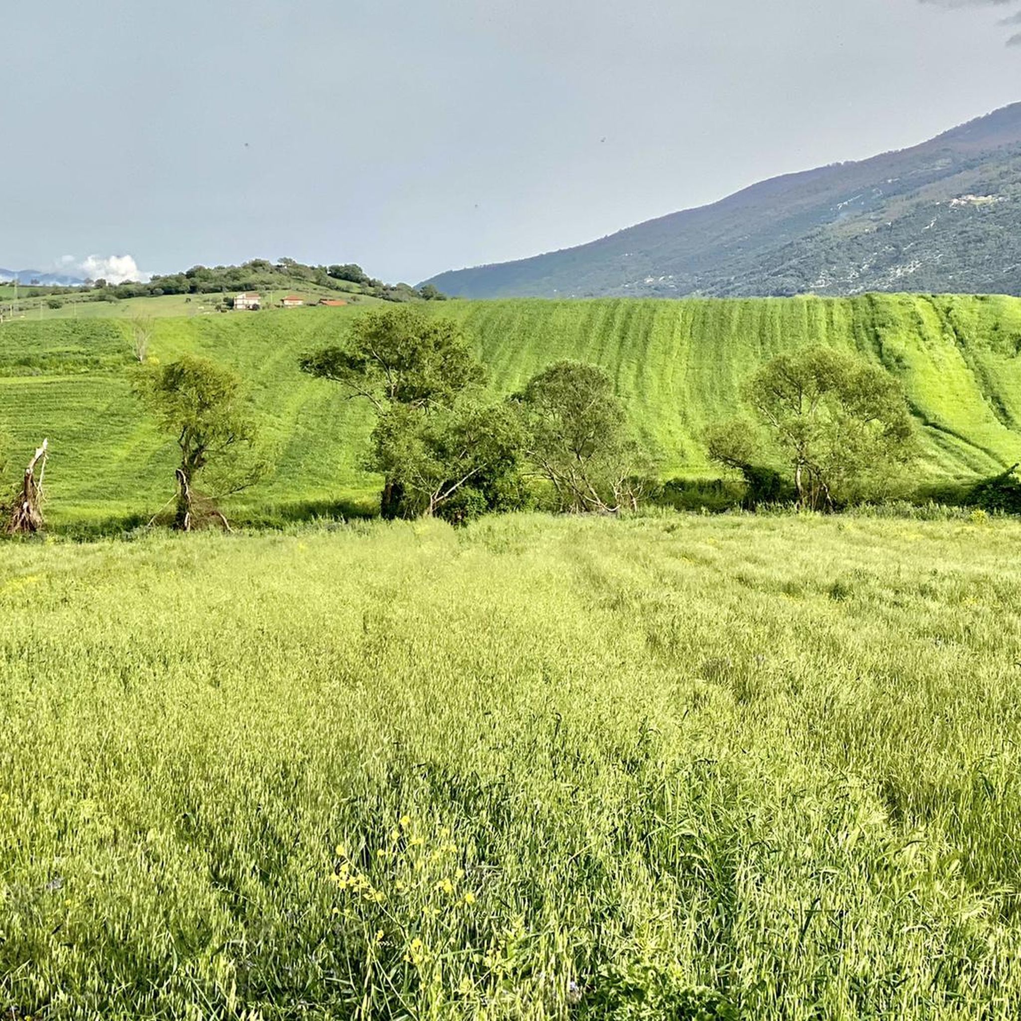
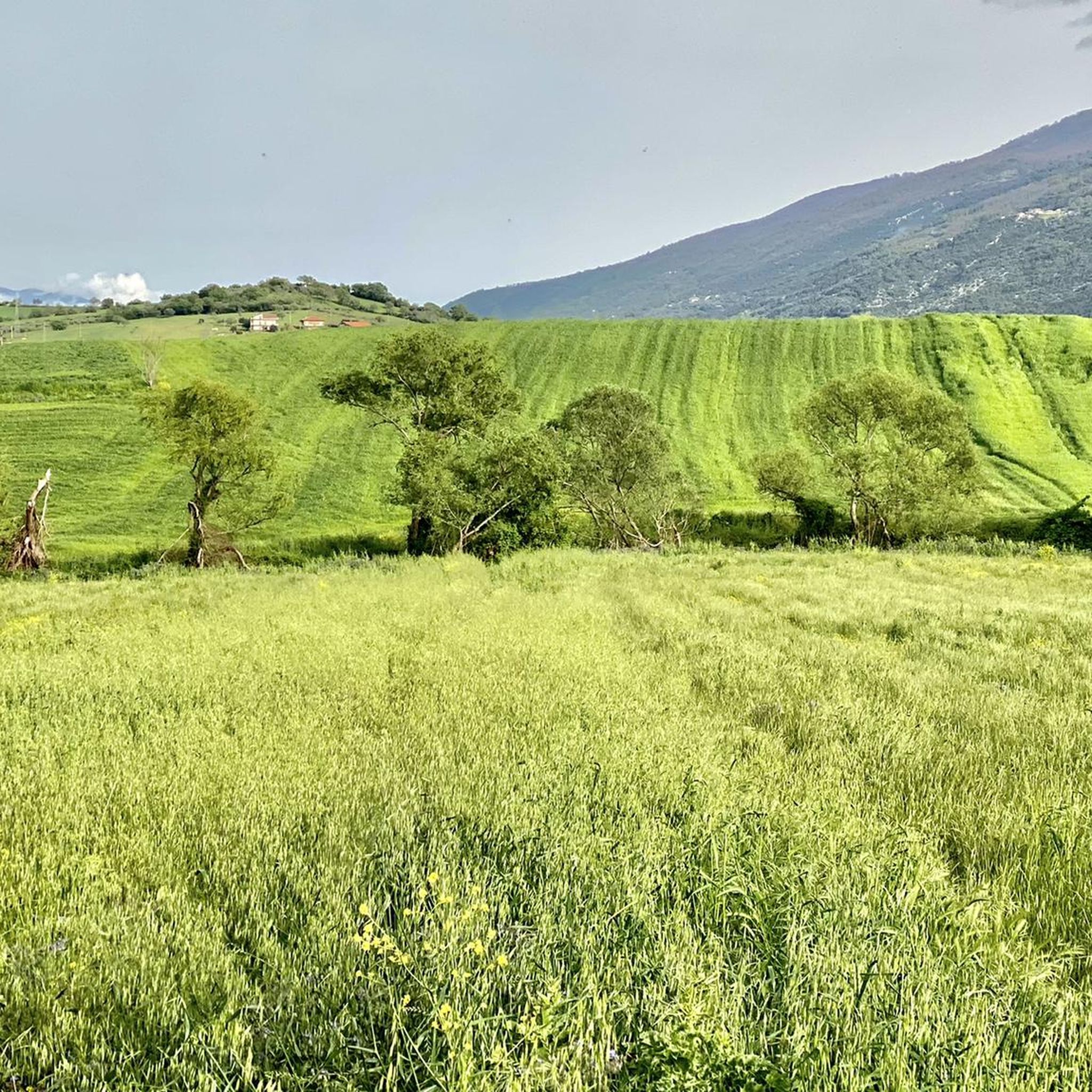
m. Calpazio에서 m. Polveracchio까지 이어지는 능선을 따라 걷는 것은 살레르노 만, 셀레 평원, 알부르니 산맥을 조망할 수 있는 정말 아름다운 풍경을 감상할 수 있게 해줍니다. 트레킹 복장과 튼튼한 신발을 착용하세요.
2
0

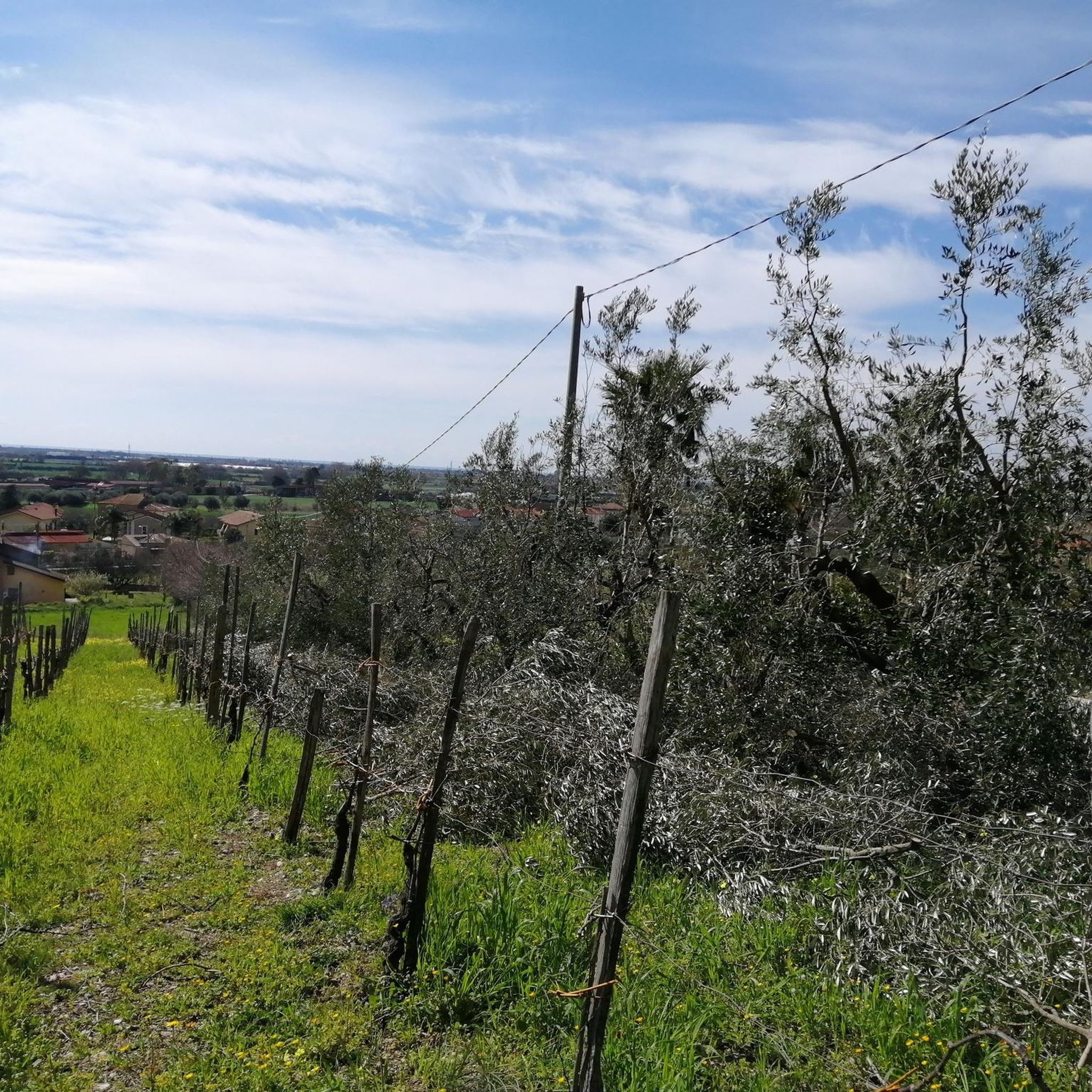
A single shot, a single passage and view of the mouth of the Sele River https://it.wikipedia.org/wiki/Sele
2
0
알타빌라 실렌티나 주변에서 가장 인기 있는 명소


더 살펴보기
알타빌라 실렌티나 주변의 최고의 동굴을 찾기 위해 이 가이드를 확인해보세요:
