풀페로에서 가장 멋진 19개의 산길
풀페로에서 가장 멋진 산길을 아래에서 살펴보세요. 풍경을 감상하기에도 좋고, 오르막길/내리막길을 따라 걷기에도 좋은 곳이랍니다. 커뮤니티가 특별 도움을 통해 공유한 콘텐츠인 만큼 믿을 수 있는 정보이니 마음에 드는 산길이 있다면 바로 다음 모험 계획에 추가해서 바로 방문해보세요.
마지막 업데이트: 10월 14, 2026
Kobariški Stol 능선 트레일과 Hlek 산장
하이라이트 (구간) • 트레일
번역자 Google •
팁에 의해

스톨산 자갈길 스위치백 내리막길
하이라이트 (구간) • 트레일
Two recommendations from my experience:
1. Take a MTB
2. Use tires with a lot of profile and little tire pressure
번역자 Google •
팁에 의해

이런 장소를 발견하려면 지금 가입하세요
최고의 싱글 트랙, 봉우리 및 다양한 흥미로운 야외 장소에 대한 추천을 받아보세요.
보케타 디 산탄토니오 다 파에디스
하이라이트 (구간) • 산악 고개
번역자 Google •
팁에 의해

Stol – Sedlo에서/로 가는 자갈길
하이라이트 (구간) • 트레일
팁에 의해


오늘 무료 계정으로 시작하세요
다음 모험이 기다리고 있어요.


커뮤니티 팁

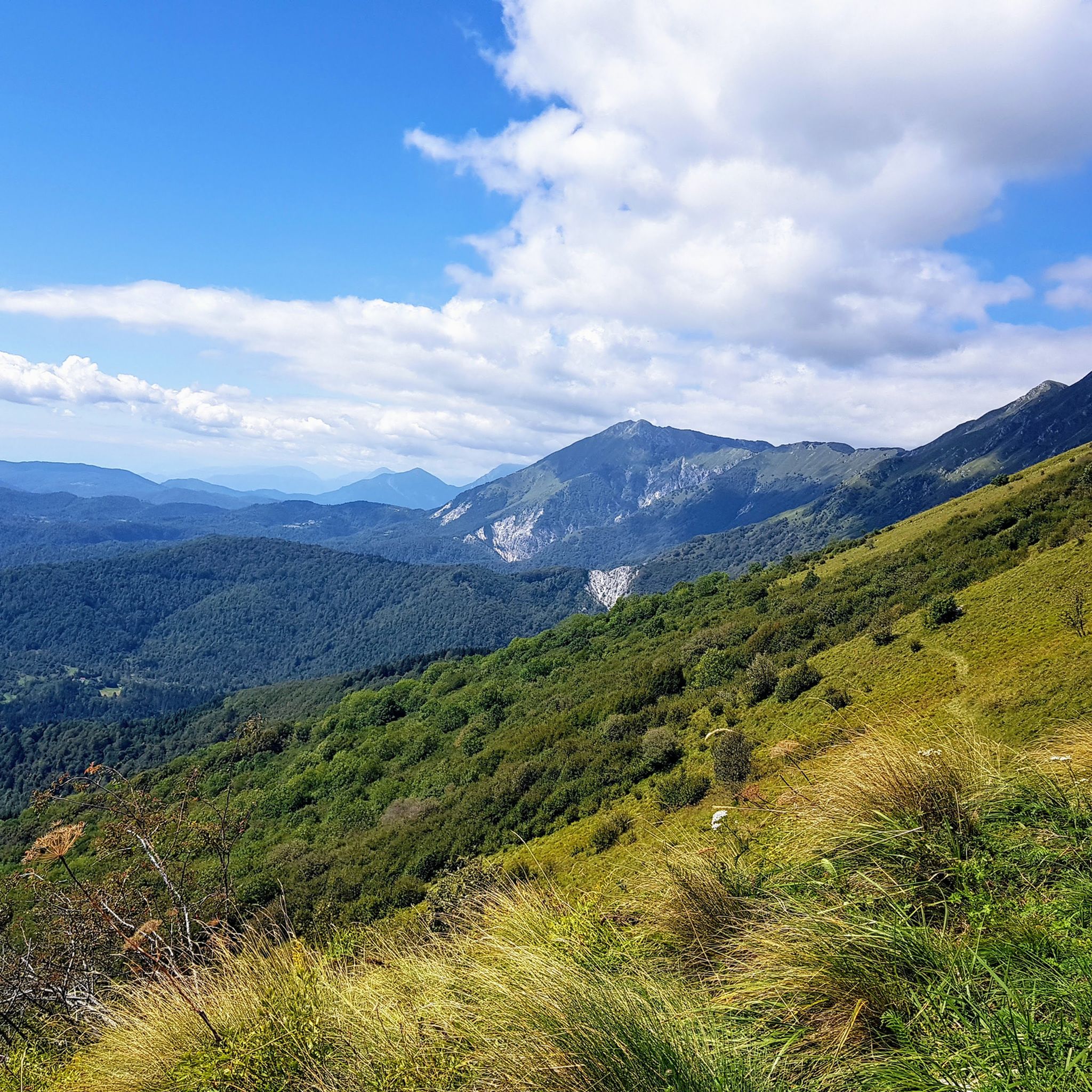
누워있는 정상(1,673m)에서 서쪽으로 약 2km 떨어진 "Stol-Sattel"까지의 오르막길은 남쪽의 Sedlo에서 오는 길과 북쪽의 Zaga에서 오는 길, 두 개의 자갈길을 통해 오를 수 있습니다. Zaga에서 오는 오르막길은 숲을 통과하는 매우 자갈이 많고 낙엽이 쌓인 임도를 따라 이어지며 전망은 거의 없습니다. 남쪽에서 오는 오르막길 역시 거친 자갈과 넓은 커브가 있는 잔디 경사면을 따라 이어지는 자갈길입니다. 몬테 미아와 몬테 마타주르, 그리고 서쪽으로는 돌로미티 산맥의 산기슭까지 매우 아름다운 전망을 제공합니다. 두 오르막길 모두 짧은 콘크리트 구간이 있으며 노출된 곳에는 침식된 구간이 있습니다. 안장에서는 남쪽으로 베네치아 만까지, 동쪽으로는 톨민의 소차 계곡까지, 북쪽으로는 율리안 알프스까지 탁 트인 파노라마 전망을 감상할 수 있습니다. Stol은 제1차 세계 대전 중 제12차 이손초 전투의 격전지 중 하나였으며, Sedlo에서 오는 오르막길은 군수 보급로로 사용되었습니다. 오늘날 이곳은 코바리드로 향하는 패러글라이더들의 인기 있는 이륙 장소입니다.
0
0

From this stylish viewing bench, you can certainly see all the way to the Mediterranean - if the air is clear.
0
0

The Slovenian customs building, abandoned since 2010, reminds us of a past when people were less free to move around freely. But in the end, things haven't improved much. Since then, we've only gotten older!
0
2

Beautiful high-altitude trail on the Stol that leads into a rather steep footpath, on which we had to push the bike downhill for a few minutes.
0
0

Never a steep descent but with a very broken and irregular surface so MUST DO - indeed - downhill and with caution unless you have an eMTB or a great desire to suffer. Never excessively steep but very long and very demanding on arms, shoulders and concentration. Stop at some hairpin bends to enjoy the wonderful view of the clean and severe outline of the Stol above you and the valley in front of you. Generous coverage here and diacreto manigo (especially if you do it with a gravel, at least 45mm to be on the safe side).
2
0

Very rough. I did the descent on a gravel bike and did not have a lot of fun. I would not recommend it as such. This is Mountainbike terrain, not gravel bike terrain. Even though some of the pictures make it look like it's just your average gravel road, it isn't. Expect a lot of hike a bike and plan lots of time if you want to go through this torture with 40mm gravel tyres, even if you're technically proficient.
2
0


더 살펴보기
이 가이드를 통해 더 많은 장대한 산악 통과를 확인해보세요 풀페로 주변:
