나투르파크 외츠탈에서 가장 멋진 14개의 산길
나투르파크 외츠탈에서 가장 멋진 산길을 아래에서 살펴보세요. 풍경을 감상하기에도 좋고, 오르막길/내리막길을 따라 걷기에도 좋은 곳이랍니다. 커뮤니티가 특별 도움을 통해 공유한 콘텐츠인 만큼 믿을 수 있는 정보이니 마음에 드는 산길이 있다면 바로 다음 모험 계획에 추가해서 바로 방문해보세요.
마지막 업데이트: 9월 3, 2026
티펜바흐–벤트 고산 파노라마길
하이라이트 (구간) • 트레일
번역자 Google •
팁에 의해

팀멜스요흐 고개 표지판
하이라이트 • 산악 고개
Ötztal 계곡 깊숙한 곳에 알프스에는 "숨겨진 틈"이 있습니다. 바로 Timmelsjoch Hochalpenstraße입니다. 해발 2,474m에 위치한 이 도로는 아마도 석기 시대부터 남북을 잇는 중요한 연결축 역할을 해왔을 것입니다. 오늘날에는 방문객들이 …
번역문 보기
팁에 의해

이런 장소를 발견하려면 지금 가입하세요
최고의 싱글 트랙, 봉우리 및 다양한 흥미로운 야외 장소에 대한 추천을 받아보세요.

팀멜스요흐 고개(메라노에서 젤덴까지)
하이라이트 (구간) • 산악 고개
번역자 Google •
팁에 의해

Königsjoch 국경 횡단로 (오스트리아–이탈리아)
하이라이트 • 산악 고개
Beautiful panoramic hike on a relatively little-used hiking trail to the Austrian border. The upper part of the trail is only suitable …
번역자 Google •
팁에 의해

무료로 가입하여 나투르파크 외츠탈 주변의 더 많은 산악 고개를 발견하세요.
이미 komoot 계정이 있나요?
오늘 무료 계정으로 시작하세요
다음 모험이 기다리고 있어요.
나투르파크 외츠탈 주변 인기 장소

클래식 알프스 교차로부터 멀리 - L1 가르미쉬에서 브레시아까지

E5 – Hiking across the Alps
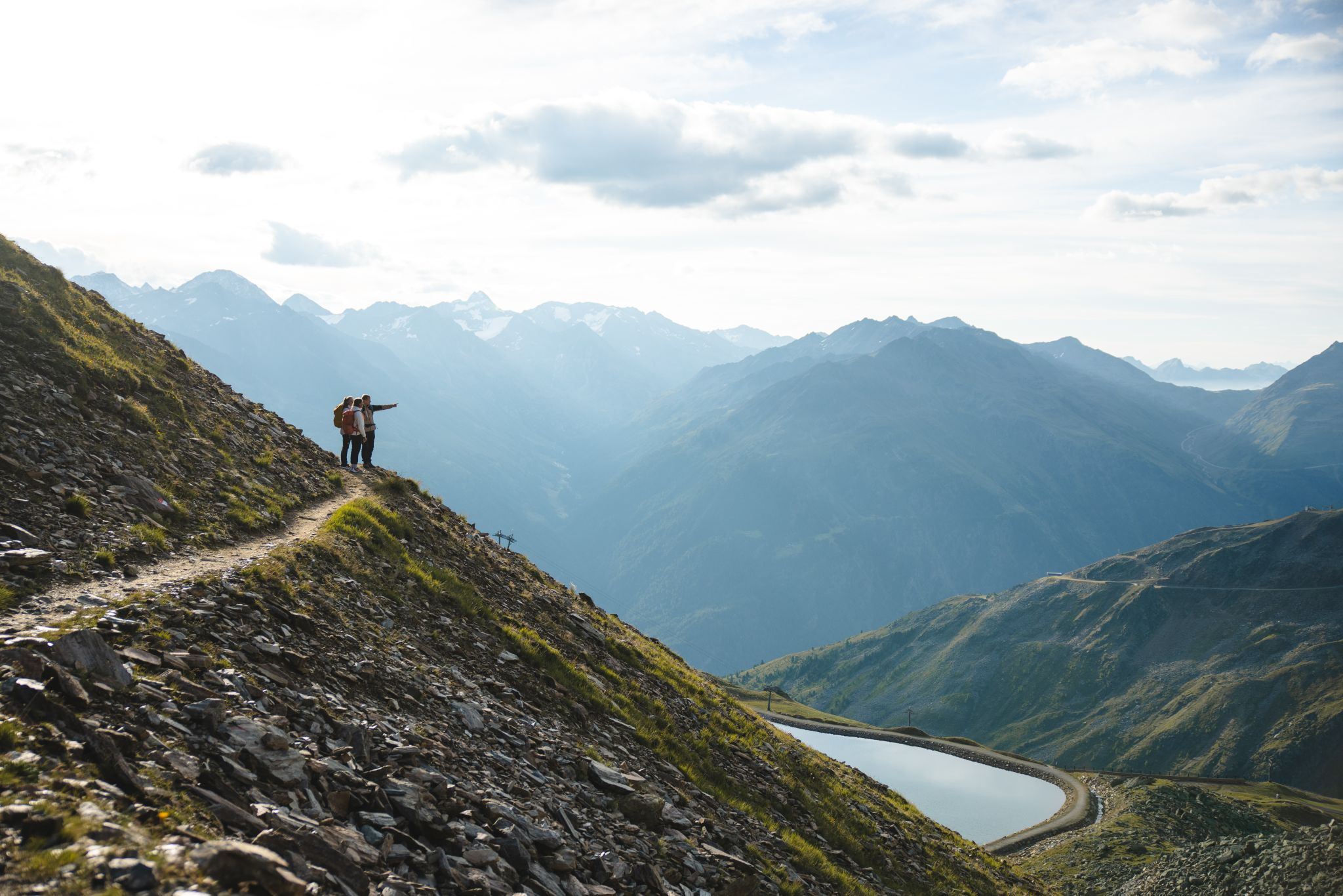
Climb our Heartpeaks and enjoy both pulsating and quiet mountain moments
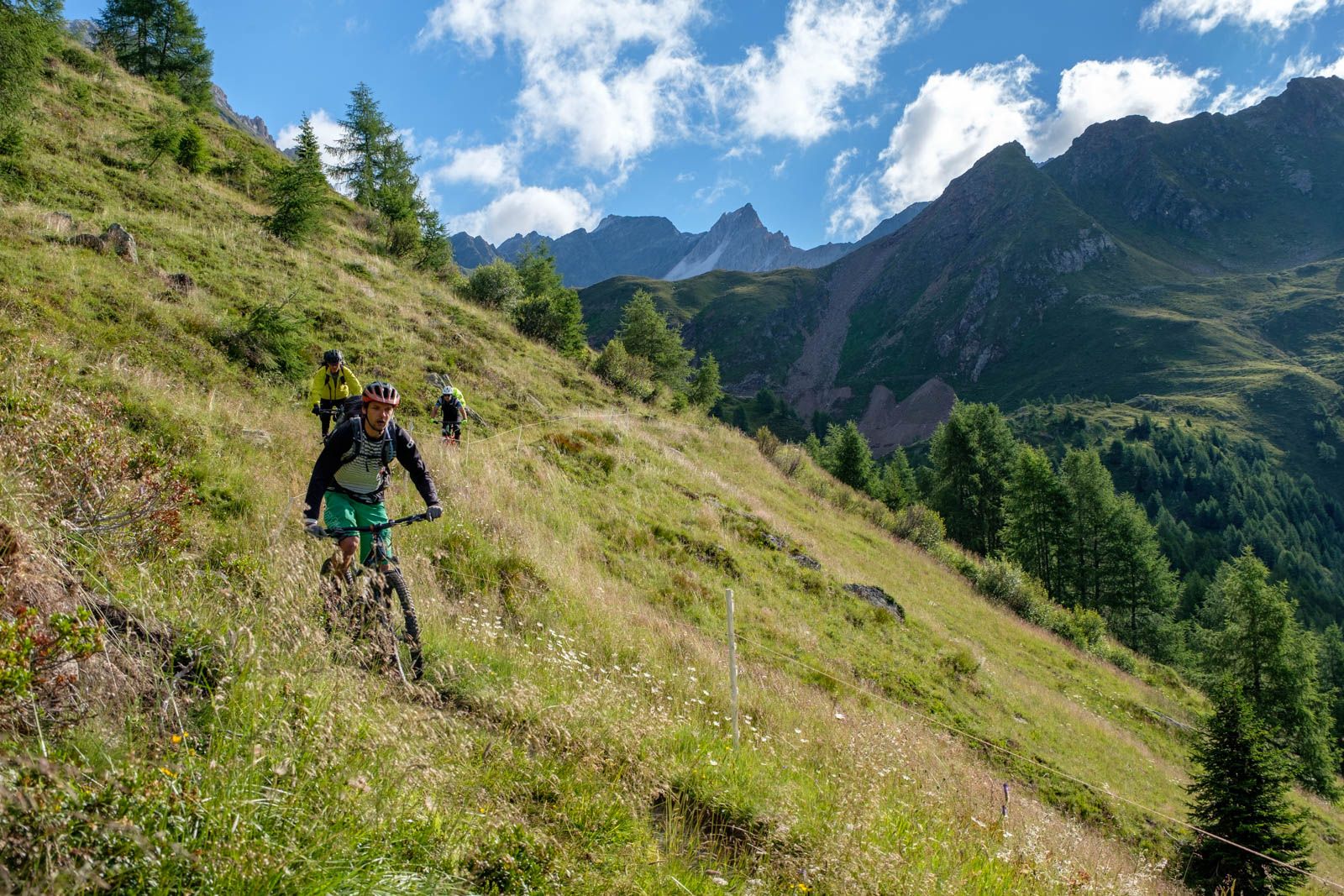
Ötzi Transalp - Stubai 및 Ötztal Alps의 바이크패킹
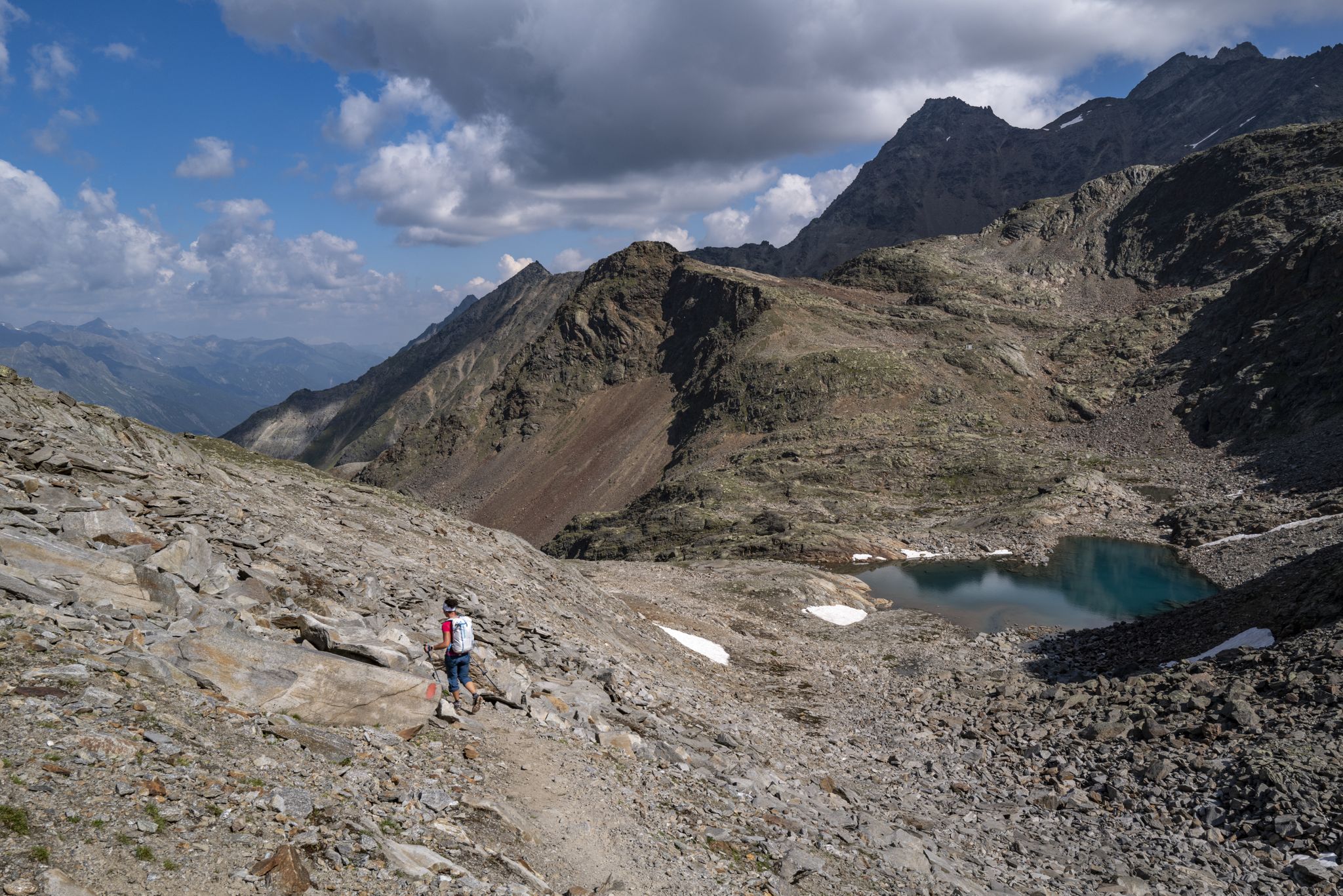
산 애호가를 위한 모험 - 외칠탈 트레킹
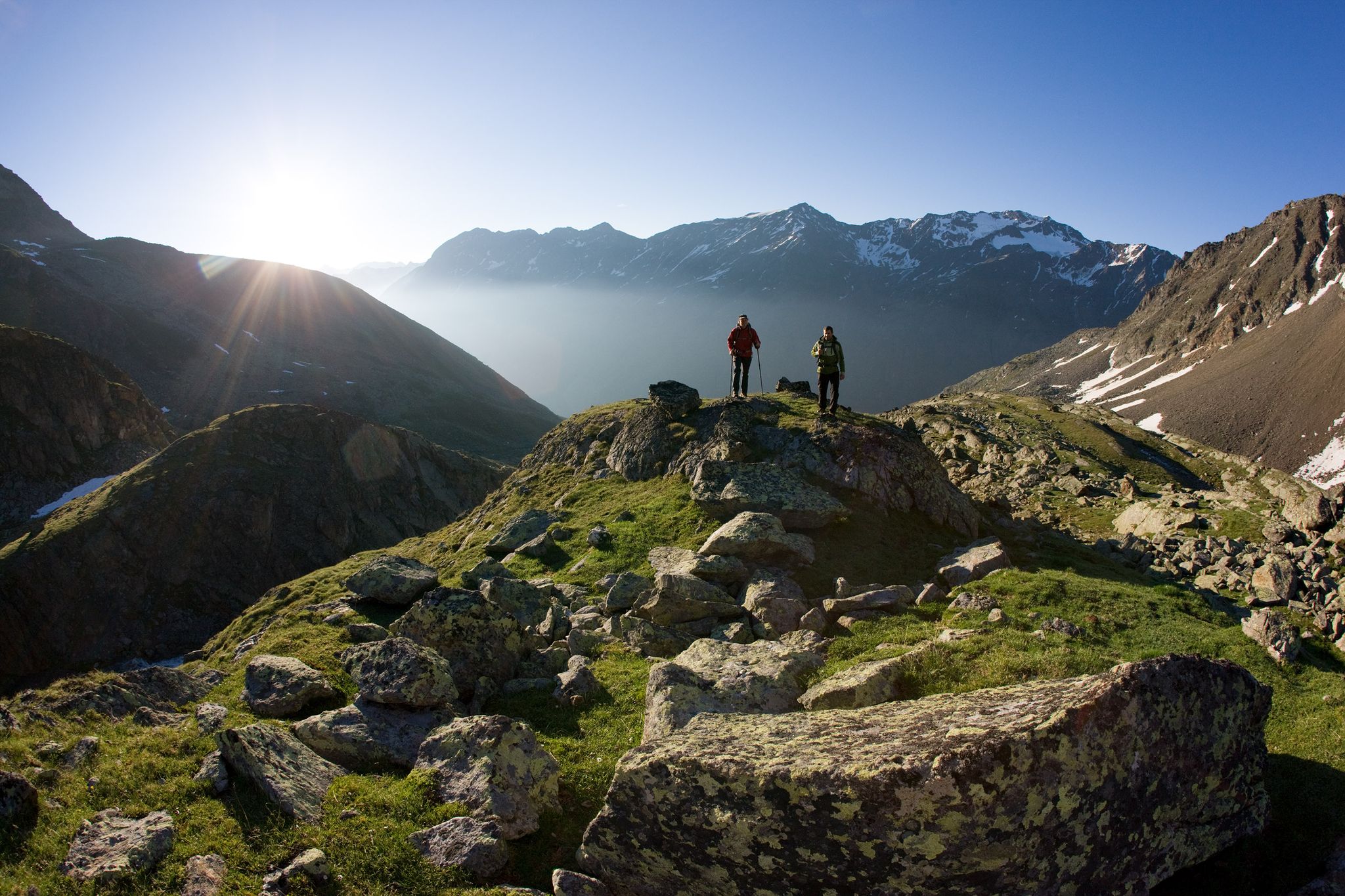
12일간 Tyrolean Alps를 통과하는 하이킹 – Ötztaler Urweg Trail

오스트리아를 동서로 거치는 알프스 모험
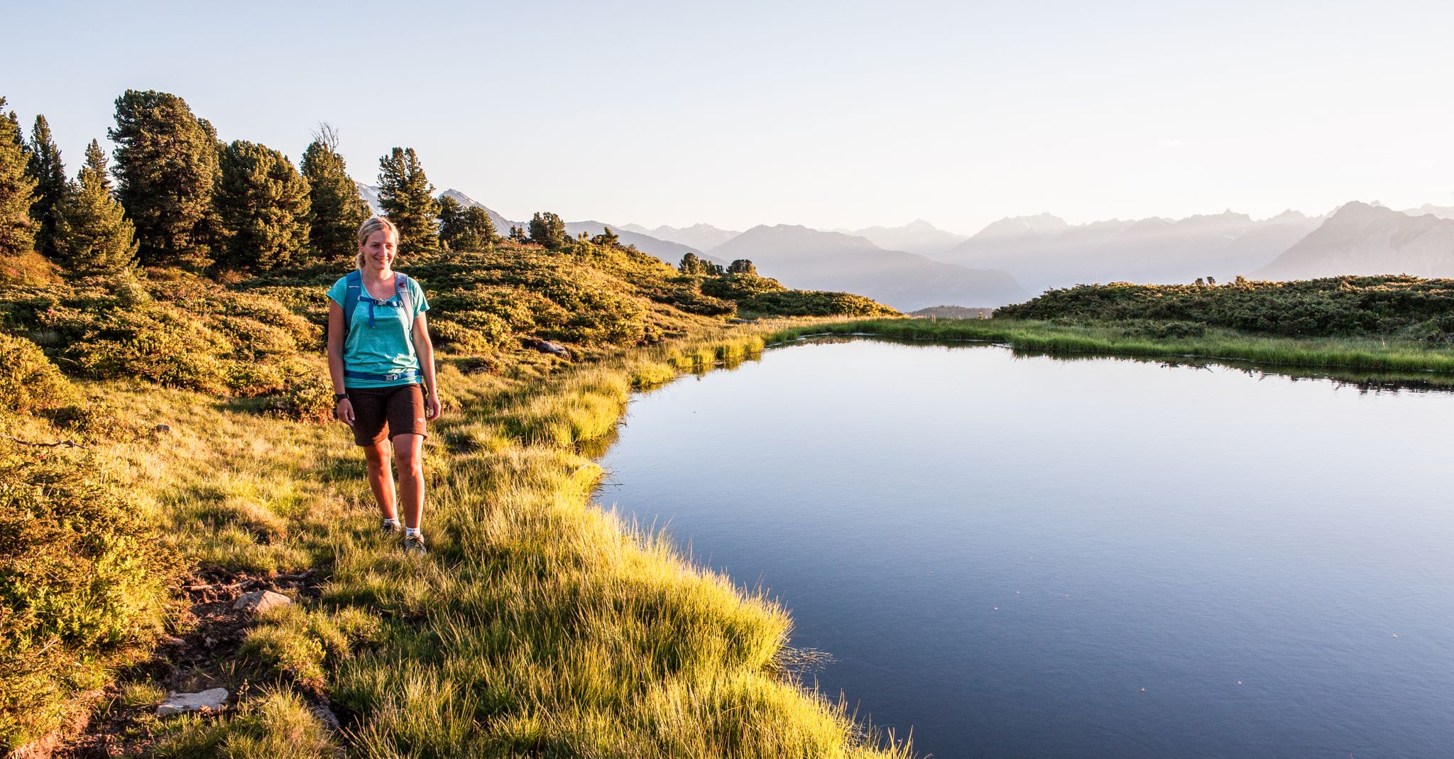
Multi-day hikes for beginners & alpinists in the Ötztal valley
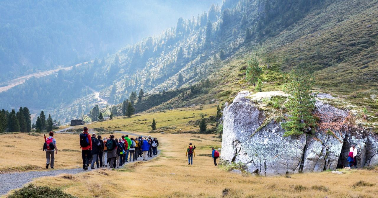
The 'hiking theater' Friedl and pleasure hiking in the Ötztal
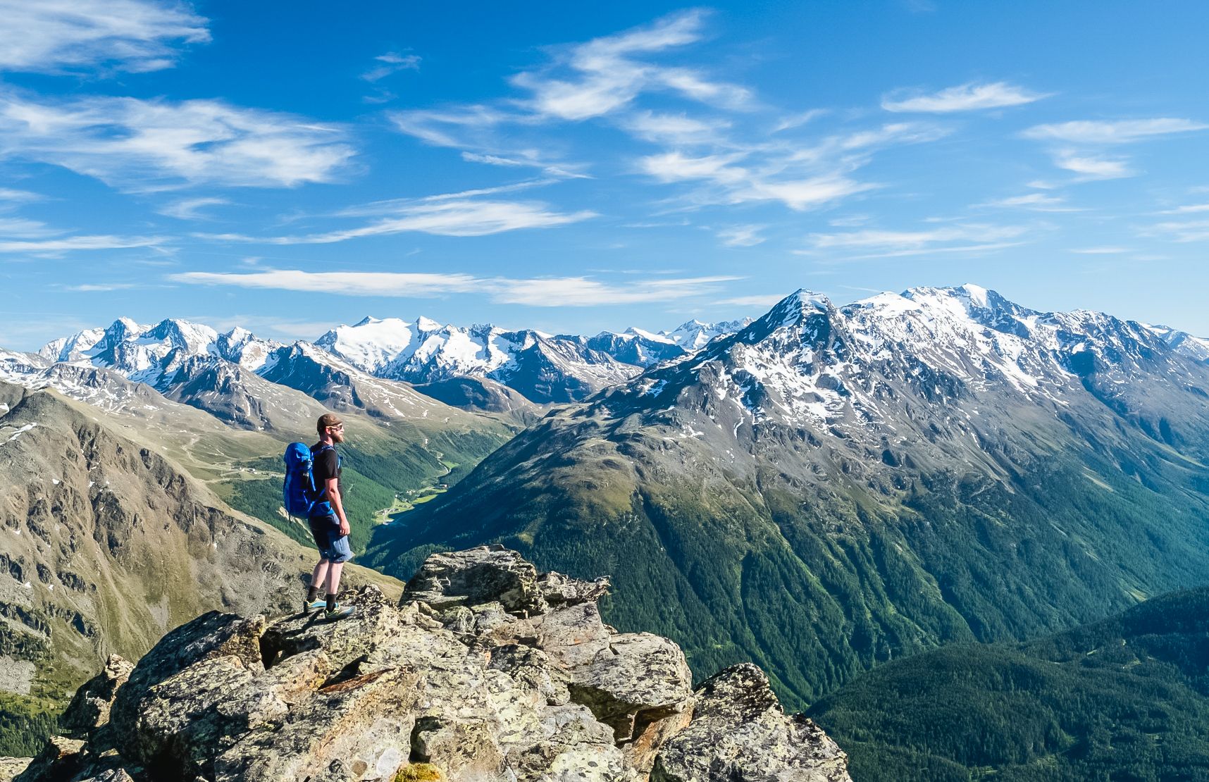
Hiking experiences in the Ötz Valley
나투르파크 외츠탈 주변의 다른 모험


커뮤니티 팁

첫 고도 미터를 쌓았습니다. 이제 리듬을 찾고 팀멜스요흐를 향해 계속 나아가야 합니다. 🚴♂️💪 이곳부터 오르막길이 점점 더 인상적으로 변합니다! ⛰️
1
0

What a panorama and what a feeling of accomplishment to have conquered the pass by bike.
0
0

Alpine high-altitude trail, rope safety, good footwear, head for heights, surefootedness, experience, guidance, suitable equipment, good weather
0
0

On old, lonely smugglers' paths to the border Beautiful panoramic hike on a relatively little-used hiking trail to the Austrian border. The upper part of the trail is only suitable for sure-footed mountain hikers with a head for heights. The moderately difficult hike is rewarded with a beautiful panoramic view.
3
0

https://youtu.be/K2k9R-1sMt4 FROM THE GLACIER TO THE MOUNTAINEERING VILLAGE Enjoy the high alpine area and unobstructed views of the Upper Ötztal without any climbs - this tour makes it possible. Hikers find themselves at eye level with the glaciated summit ridges and roam fascinating, pristine mountain landscapes. Add to favorites Share The red (moderately difficult) panoramic hike begins at the Tiefenbach glacier high above Sölden and is also suitable for families and leisurely mountaineers. From the starting point at around 2,800 m, the approx. 11 km long high-altitude trail leads down to the mountaineering village of Vent at around 1,900 m, with most of the downhill metres falling in the last third of the tour. Before that, the hiking trail runs from the glacier over the slopes of Mutboden, Weißkar and Sonnenberg to lush alpine meadows, and at every turn the magnificent view invites you to pause. Always in view: the Weißkamm and the opposite mountain ridges from the Nederkogel to the Grosser Ramolkogel. Anyone who sets off in the early hours of the morning will be rewarded with magical lighting and absolute mountain solitude. But even a little later, the path remains pleasantly quiet. Hikers reach a highlight at the Weißkar, where a green mountain lake nestles in a hollow. After around 4.5 hours of walking, the inns in the quaint mountaineering village of Vent are just the thing to restore energy levels and reflect on the day over some tasty treats. Tip: You should only start the high-altitude panoramic trail if the weather forecast is stable, as there is no option to descend into the valley early. With the Ötztal Inside Summer Card, the bus rides from Sölden to the Tiefenbachferner and the return journey from Vent are free. Source: https://www.soelden.com/de/sommer/wandern-bergsteigen/wanderrouten-routen/wanderhighlights/hoehenpanoramaweg-tiefenbach-vent.html
1
0

There are much nicer pass roads for cyclists than the Timmelsjoch. On the long straight stretches, the locals as well as the Porsche and BMW drivers race past us cyclists at well over 100 kilometers per hour and with the smallest possible distance.
1
1

Timmelsjoch Hochalpenstraße Ötztal 계곡 깊숙한 곳에 알프스에는 "숨겨진 틈"이 있습니다. 바로 Timmelsjoch Hochalpenstraße입니다. 해발 2,474m에 위치한 이 도로는 아마도 석기 시대부터 남북을 잇는 중요한 연결축 역할을 해왔을 것입니다. 오늘날에는 방문객들이 더 이상 힘들게 고개를 넘을 필요 없이 자동차나 오토바이를 타고 Obergurgl에서 남티롤의 Passeiertal까지 Timmelsjoch-Hochalpenstraße를 달릴 수 있습니다. 동부 알프스의 가장 높은 고개는 여행객들에게 고산 자연의 장엄한 전망을 선사하며, 6개의 체험 스테이션과 함께 독특한 Timmelsjoch 경험을 선사합니다. 도로는 개방되어 있습니다. 운영 시간: 매일 07:00-20:00. 텍스트 / 출처: Ötztal Tourismus/Liftgesellschaften Obergurgl-Hochgurgl https://www.gurgl.com/de/sommer/ausflugsziele/timmelsjoch-hochalpenstrasse.html
13
1

나투르파크 외츠탈 주변에서 가장 인기 있는 경로
나투르파크 외츠탈 주변에서 가장 인기 있는 명소


더 살펴보기
이 가이드를 통해 더 많은 장대한 산악 통과를 확인해보세요 나투르파크 외츠탈 주변:
