로텐브루넨에서 가장 멋진 20개의 천연기념물
천연기념물을 방문하여 로텐브루넨의 아름다운 풍경을 만나보세요. 로텐브루넨에 있는 20
개의 천연기념물과 상세 정보를 살펴본 후에 방문하고 싶은 천연기념물을 다음 모험 계획에 추가해보세요!
마지막 업데이트: 10월 13, 2026
일 스피어 전망대 – 라인 협곡
하이라이트 • 전망대
번역자 Google •
팁에 의해

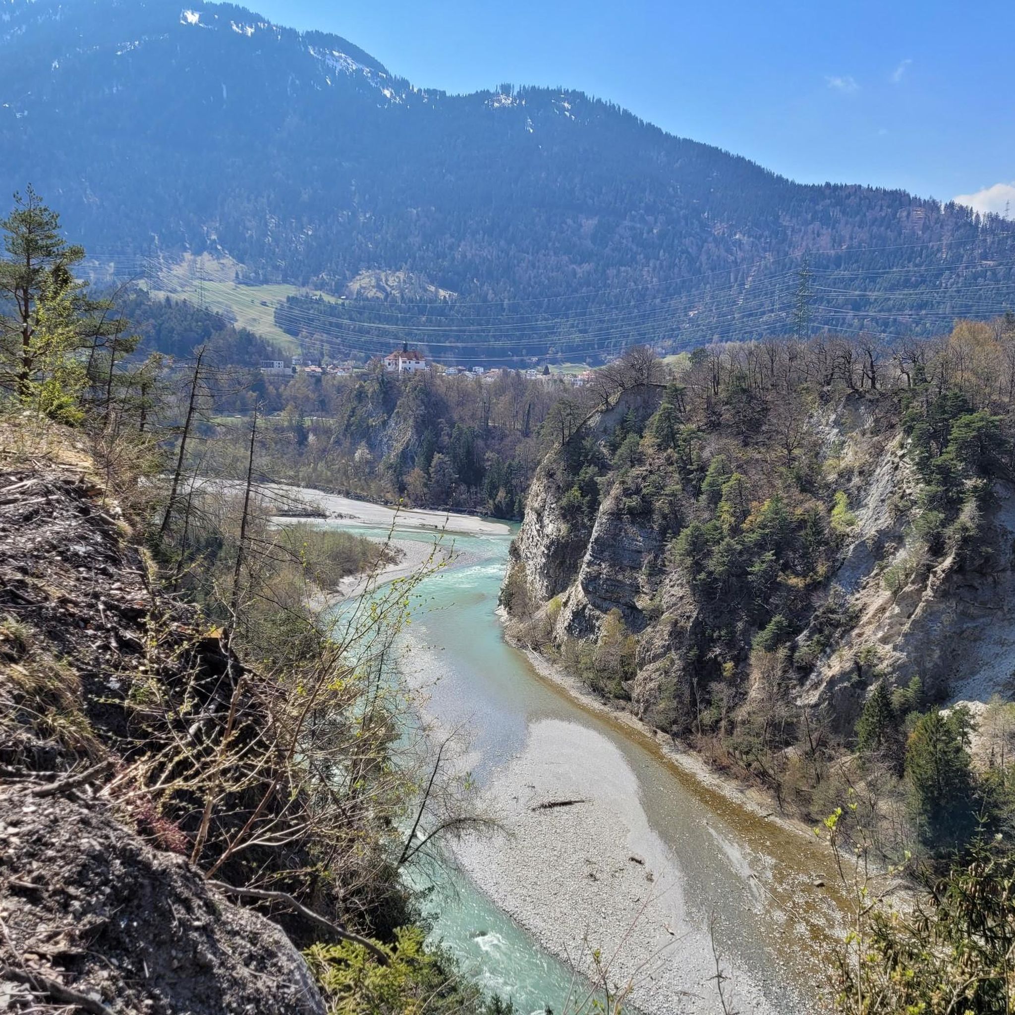
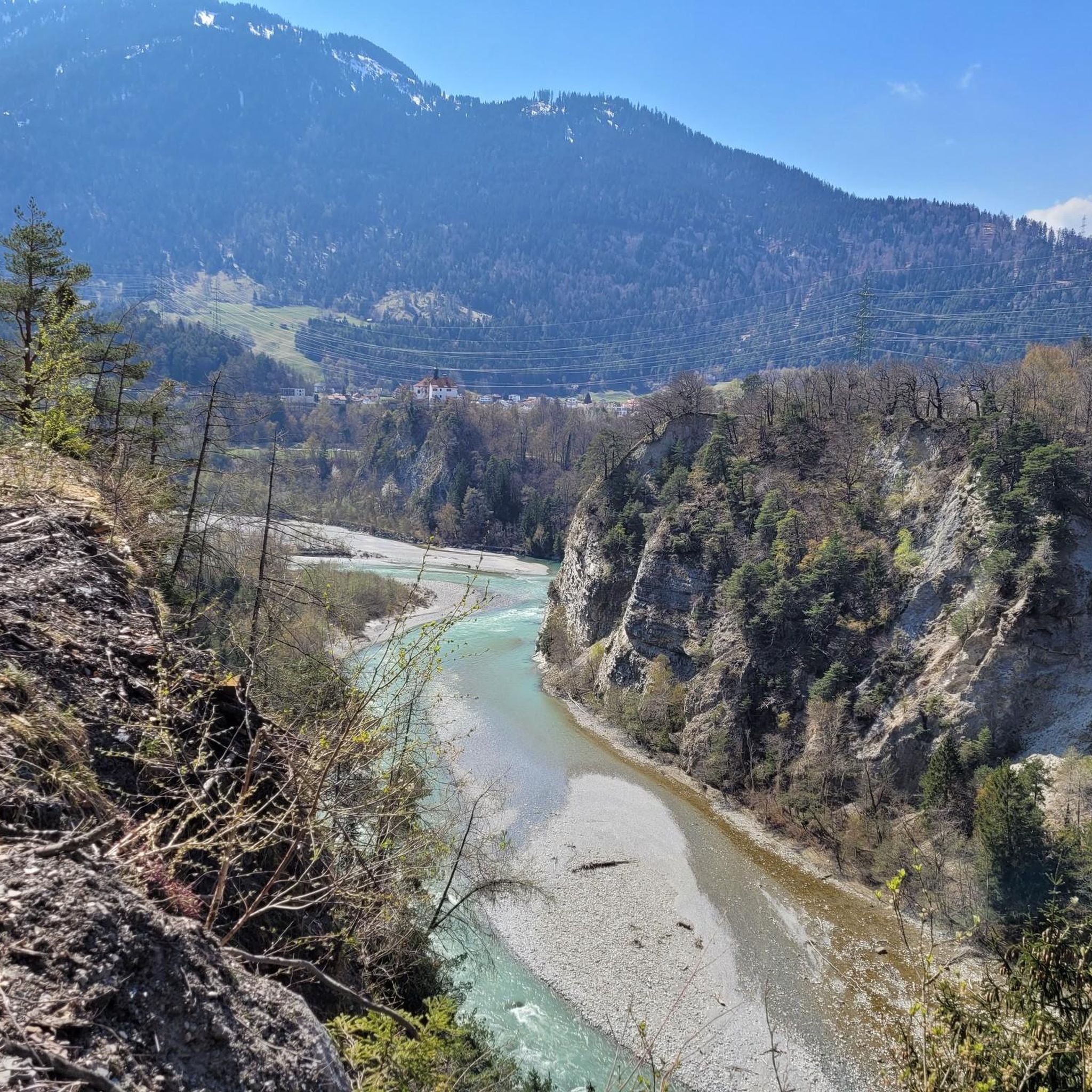
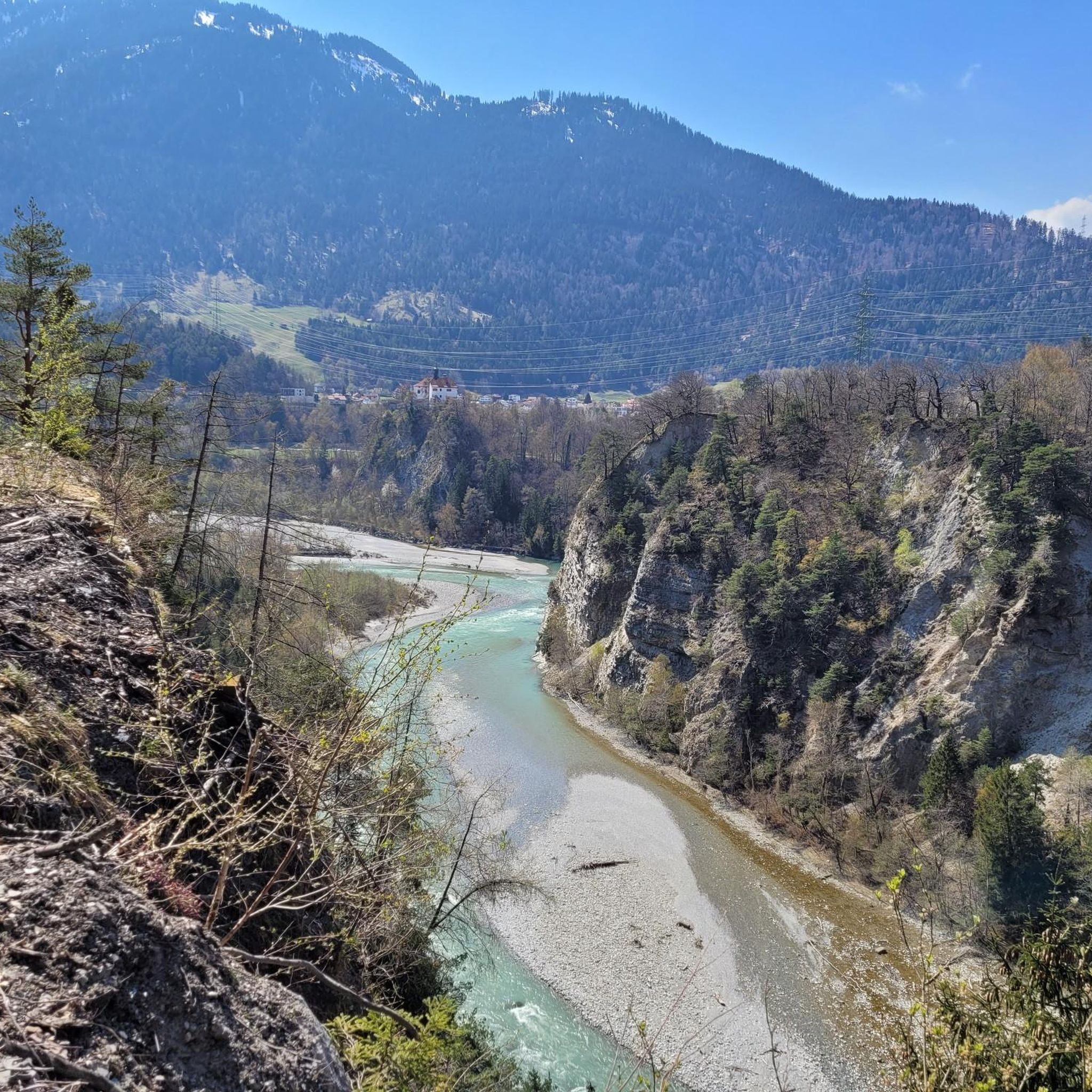
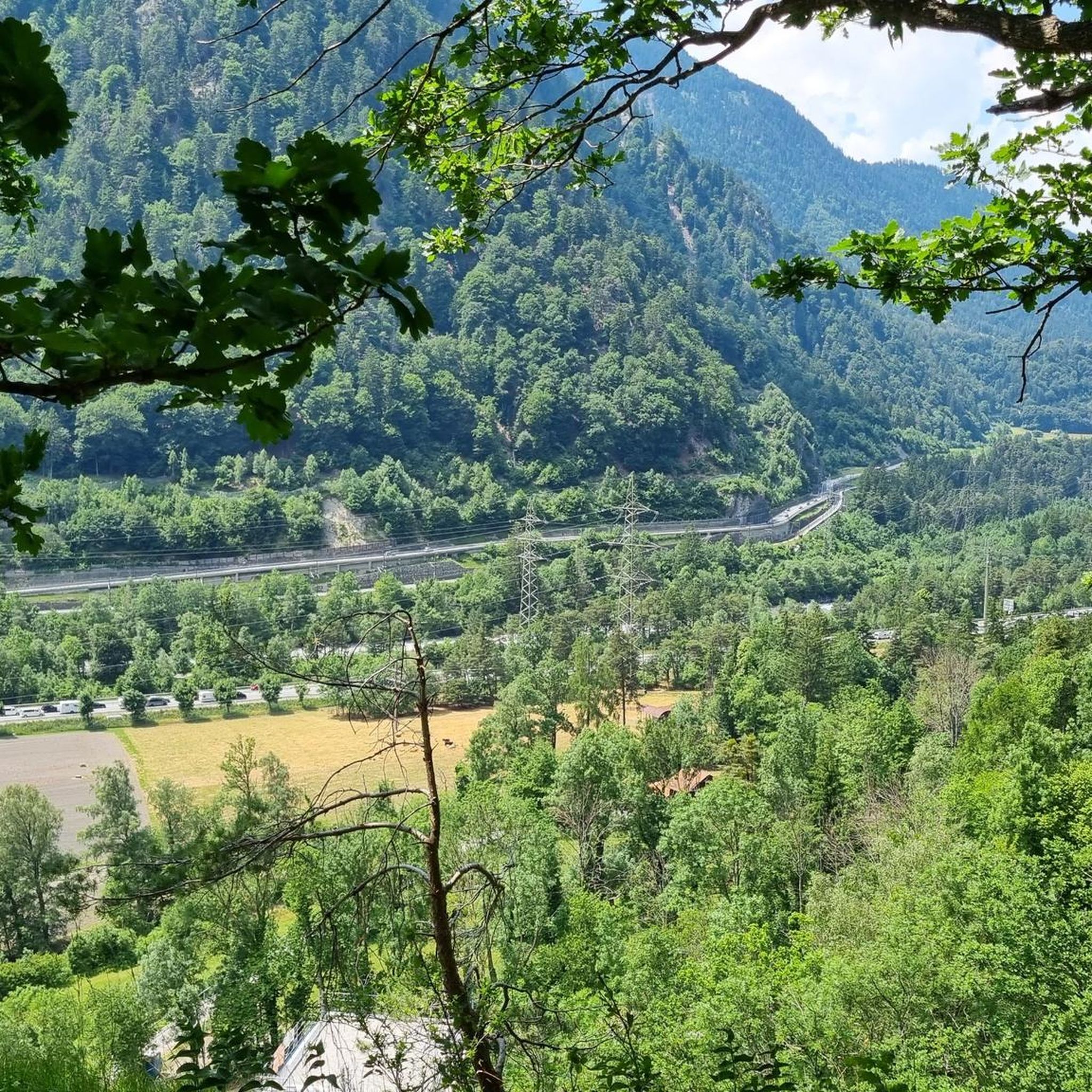
루이나울타(라인 협곡) 전망
하이라이트 • 전망대
번역자 Google •
팁에 의해
이런 장소를 발견하려면 지금 가입하세요
최고의 싱글 트랙, 봉우리 및 다양한 흥미로운 야외 장소에 대한 추천을 받아보세요.

드라이뷘덴슈타인 기념비
하이라이트 • 기념물
번역문 보기
팁에 의해


무료로 가입하여 로텐브루넨 주변의 더 많은 자연 기념물을 발견하세요.
이미 komoot 계정이 있나요?
오늘 무료 계정으로 시작하세요
다음 모험이 기다리고 있어요.

커뮤니티 팁

그라우뷘덴의 드라이뷘덴슈타인은 쿠어 시 남쪽 2,156미터 높이에 있는 융기 지역으로, 해발 2,174미터에 위치한 푸르가뷔엘 산에 있습니다. 두 곳은 15미터 높이의 안장과 500미터 거리로만 분리되어 있습니다. 이 지점은 산봉우리가 아니라 역사적인 장소입니다. 이곳은 옛 삼동맹 자유국의 유일한 삼중 국경 지점이었습니다. 1722년의 원본 비석은 쿠어의 래천 박물관에 전시되어 있습니다. 1915년의 대체 비석에는 삼동맹의 세 가지 문장이 새겨져 있습니다. 삼동맹에는 래튠스 관할 공동체인 그라우어 분트, 오르텐슈타인 성의 고테스하우스 분트, 추어발덴의 체잉에리히텐분트가 포함되었습니다.
5
0

The platform was designed by the Chur architect Corinna Menn on behalf of the municipality of Flims and inaugurated in September 2006. It consists of a single pillar that is anchored in two places. The pillar, held back by a traction cable, protrudes into the gorge. On the pillar lies the triangular platform made of larch wood, which gives the structure the shape of a swift. (Source: https://de.wikipedia.org/wiki/Il_spir)
6
0

Mountain hike from Brambrüesch to Dreibündenstein and on to Feldis
1
0

A dream of a view of the Rhine Gorge and little visited.
7
0

Lake Cauma, the Pearl of Flims Called "Lag la Cauma" in Romansh, which means "Lake of Midday Rest," Lake Cauma is the pearl of Flims. Origin This mountain lake was formed as a result of the largest landslide in the Alps, which occurred almost 10,000 years ago. The formation of the lakes is attributed to prehistoric landslides. The water seeped through the porous rockslide masses. However, it can also dissolve the limestone with the help of its carbonic acid. Over time, it created an underground passage. A deeper, impermeable clay layer ensures that the water does not completely seep into the ground. Text / Source: Flims Laax Falera https://www.caumasee.ch/geschichte/
12
1
“Il Spir” viewing platform From the Il Spir viewing platform, you can marvel at the impressive Rhine Gorge / Ruinaulta!
9
1
Ruinaulta Rhine Gorge The Ruinaulta or Rhine Gorge is a gorge up to 400 meters deep and around 13 kilometers long in the Vorderrhein between Ilanz and the mouth of the Hinterrhein near Reichenau in the canton of Graubünden in Switzerland. The Romansh name 'Ruinaulta' is composed of the two words Ruina (scree slope, quarry) and aulta (high). The Ruinaulta was created after the Flims landslide almost 10,000 years ago. At that time, over 10 billion cubic meters of rock broke off between the Flimserstein and the Piz Grisch and buried the Vorderrheintal between today's villages of Castrisch and Reichenau under a mass of rubble several hundred meters thick. Since the Vorderrhein could no longer drain, a lake was dammed over a length of around 25 km. Over time, the river cut deep into the landslide masses and the resulting lake was able to drain completely. What remained was the Ruinaulta with its steep limestone rubble cliffs in impressive erosion formations. Text/Source: Wikipedia https://de.wikipedia.org/wiki/Ruinaulta
10
1
Dreibündenstein - a piece of history The Dreibündenstein is a monument to the former border point of the Free State of the Three Leagues. Until 1798, the borders of the "Gotteshausbund", "Grauer Bund" and "Zehngerichtebund" leagues met at this point. Each side of the stone bears a coat of arms of these three Rhaetian leagues. At the same time, the Dreibündenstein commemorates the freedom fighters of Graubünden. Text / Source: EHL Group, Route de Cojonnex 18, 1000 Lausanne 25 https://hospitalityinsights.ehl.edu/de/graubuenden-entdecken-dreibuendenstein#:~:text=The%20Dreib%C3%BCndenstein%20is%20a%20monument%20for%C3%BCr%20the%20former,stone%20stone%20bears%20a%20coat%20of%20these%20three%20Roman%20federations.
11
1
로텐브루넨 주변에서 가장 인기 있는 명소


더 살펴보기
로텐브루넨 주변의 최고의 동굴을 찾기 위해 이 가이드를 확인해보세요:
