플로윌에서 가장 멋진 20개의 천연기념물
천연기념물을 방문하여 플로윌의 아름다운 풍경을 만나보세요. 플로윌에 있는 20
개의 천연기념물과 상세 정보를 살펴본 후에 방문하고 싶은 천연기념물을 다음 모험 계획에 추가해보세요!
마지막 업데이트: 10월 13, 2026
브루더토벨 동굴과 폭포
하이라이트 • 동굴
번역자 Google •
팁에 의해

베텐아우어 바이어 연못
하이라이트 • 호수
번역자 Google •
팁에 의해

이런 장소를 발견하려면 지금 가입하세요
최고의 싱글 트랙, 봉우리 및 다양한 흥미로운 야외 장소에 대한 추천을 받아보세요.
Gübsensee 동쪽
하이라이트 • 호수
번역문 보기
팁에 의해


뤼드베르크 성 유적지
하이라이트 • 성
번역자 Google •
팁에 의해
무료로 가입하여 플로윌 주변의 더 많은 자연 기념물을 발견하세요.
이미 komoot 계정이 있나요?
오늘 무료 계정으로 시작하세요
다음 모험이 기다리고 있어요.

커뮤니티 팁


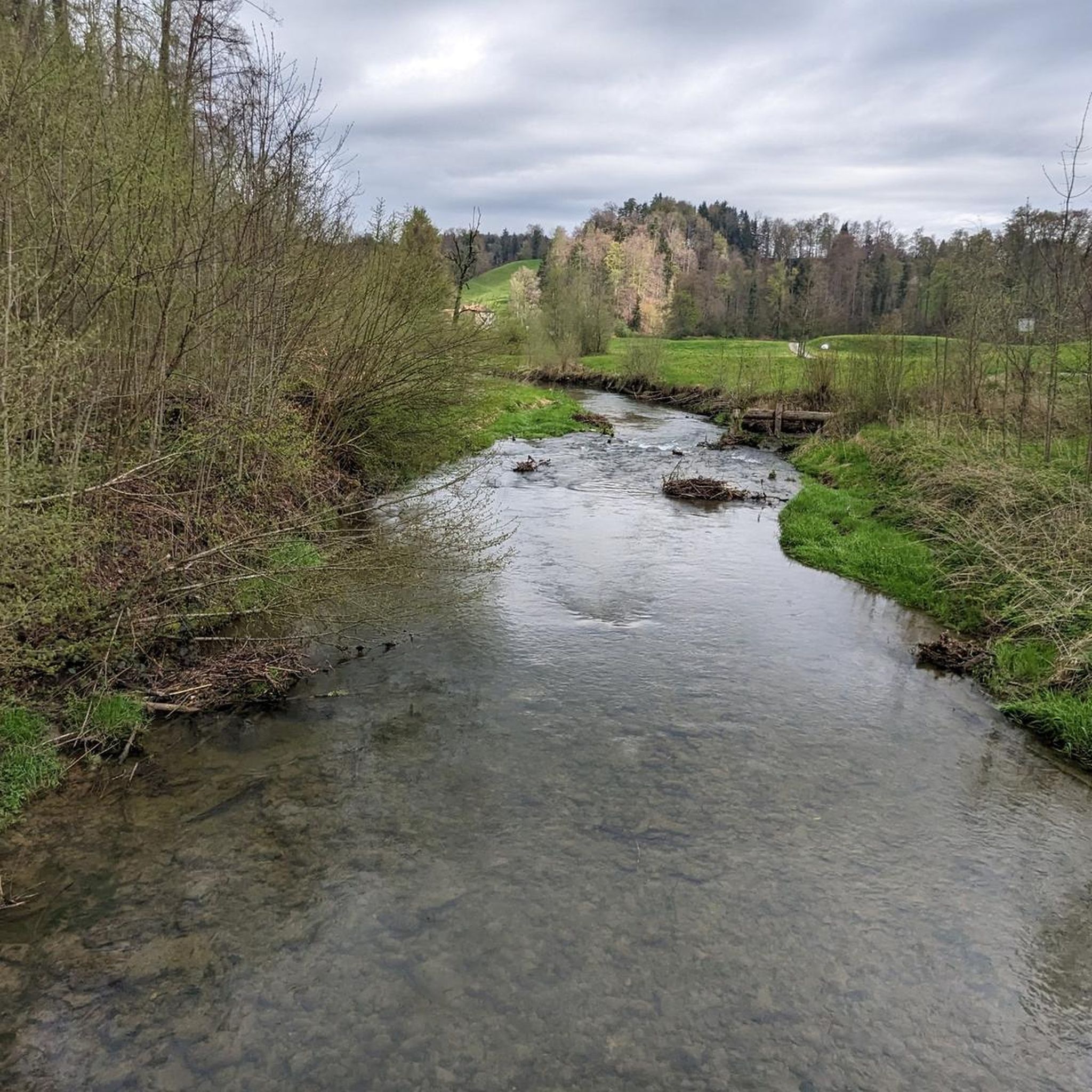
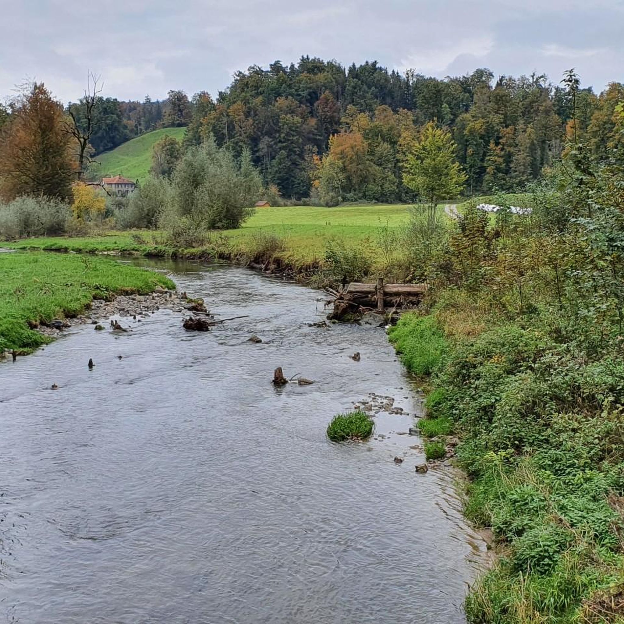
뤼트베르크 성터는 13세기에 지어진 중세 시대의 성터로, 투르 강 위로 약 50미터 높이의 바위 돌출부에 자리하고 있습니다. 오늘날에도 성벽의 일부가 남아 있어 옛 산성의 역사에 대한 흥미로운 통찰력을 제공합니다. 성터 바로 옆에는 피크닉 공간이 있는 아늑한 바비큐 장소가 있어 휴식을 취하기에 이상적입니다. 또한 불과 몇 걸음 떨어진 곳에 나무로 만들어진 숲 속 소파가 있어 편안하게 쉴 수 있습니다. 숲 속의 조용한 위치와 투르 계곡의 아름다운 전망은 이 성터를 가치 있는 경유지 또는 나들이 장소로 만듭니다.
0
0

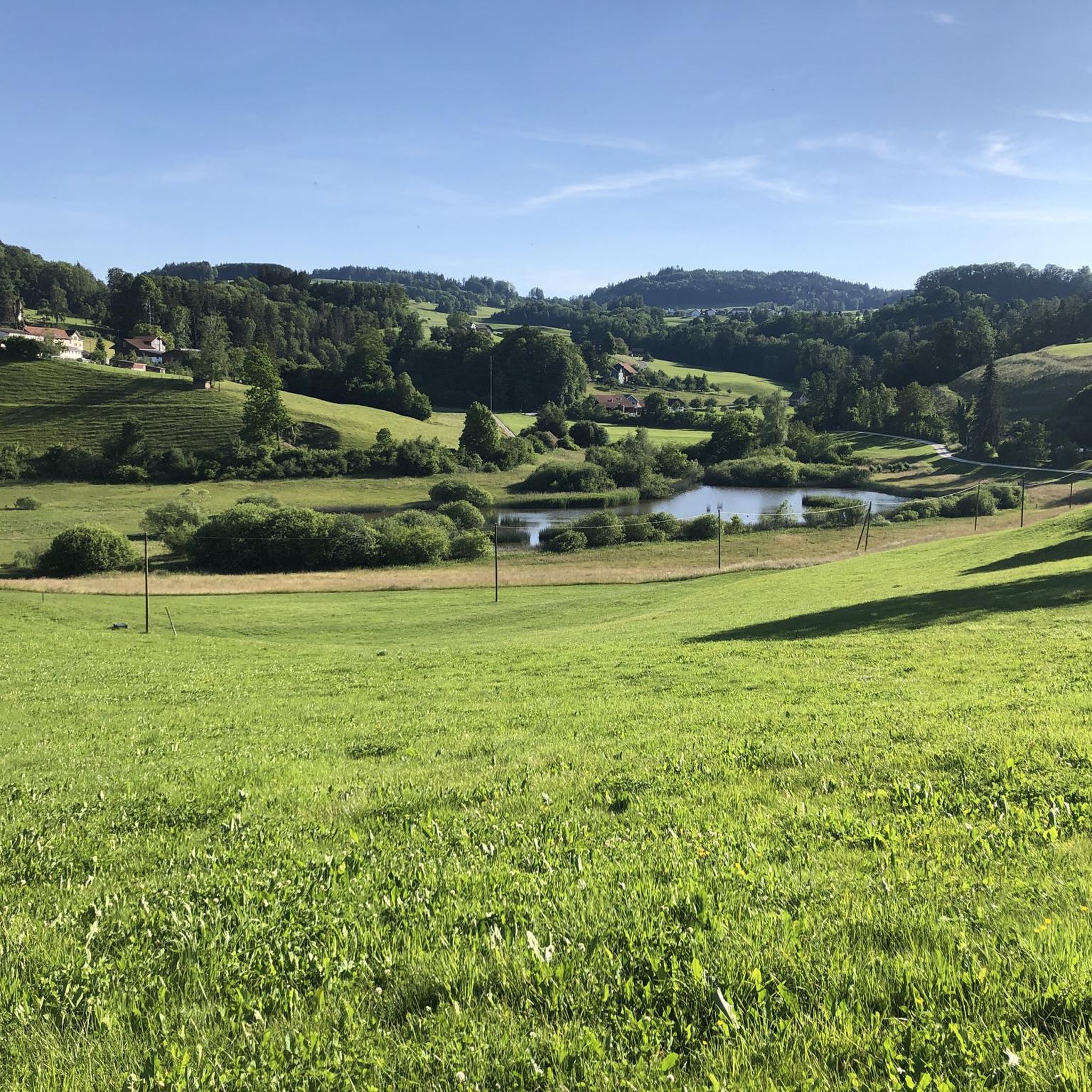
Passing west of the beautiful Bettenauer Weiher (driving is prohibited all around).
1
0

The ruins and the surrounding area are somewhat overgrown, but there is a wonderful rest area here with an information board about the historical background of the ruins.
0
0

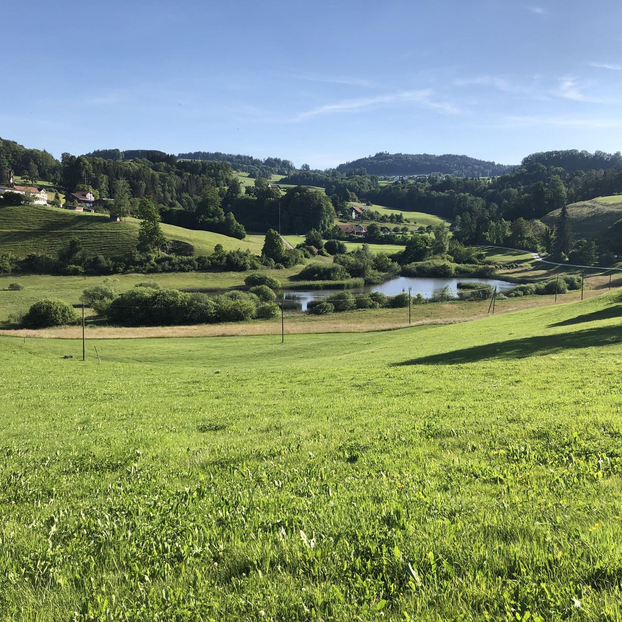
The Bettenauer Weiher lies in a depression between Wildberg and Uzwil, entirely within the municipality of Oberuzwil, in the Toggenburg region in the Swiss Alpine foothills. The pond's bottom consists of peat soil. The pond includes the smaller peat ponds to the east. The Bettenauer Weiher was originally a moor pond, the origin of which can ultimately be traced back to the formation of a depression between the Wildberg and Vogelsberg mountains during the Würm glaciation, when the entire Toggenburg region was covered by the Rhine glacier. The area around the Bettenauer Weiher is a fen of regional importance. It is part of an amphibian spawning area of national importance. For this reason, the pond has had an amphibian guide structure, a protected road underpass, since 1993. [Source: Wikipedia]
0
0

is a very impressive place - used to be a pub (hobby)
1
0

Unfortunately, only a few remains of the walls remain. But a few meters further on, there is a wonderful view down to the Thur, assuming you don't suffer from vertigo...
1
0


