로스토프에서 가장 멋진 20개의 천연기념물
천연기념물을 방문하여 로스토프의 아름다운 풍경을 만나보세요. 로스토프에 있는 20
개의 천연기념물과 상세 정보를 살펴본 후에 방문하고 싶은 천연기념물을 다음 모험 계획에 추가해보세요!
마지막 업데이트: 8월 20, 2026
Wisenberg 전망탑
하이라이트 • 기념물
The forest grew higher and higher, making it necessary to expand the tower.
번역자 Google •
팁에 의해

벨헨플루 정상 전망대
하이라이트 • 정상
번역자 Google •
팁에 의해
이런 장소를 발견하려면 지금 가입하세요
최고의 싱글 트랙, 봉우리 및 다양한 흥미로운 야외 장소에 대한 추천을 받아보세요.
무료 회원 가입
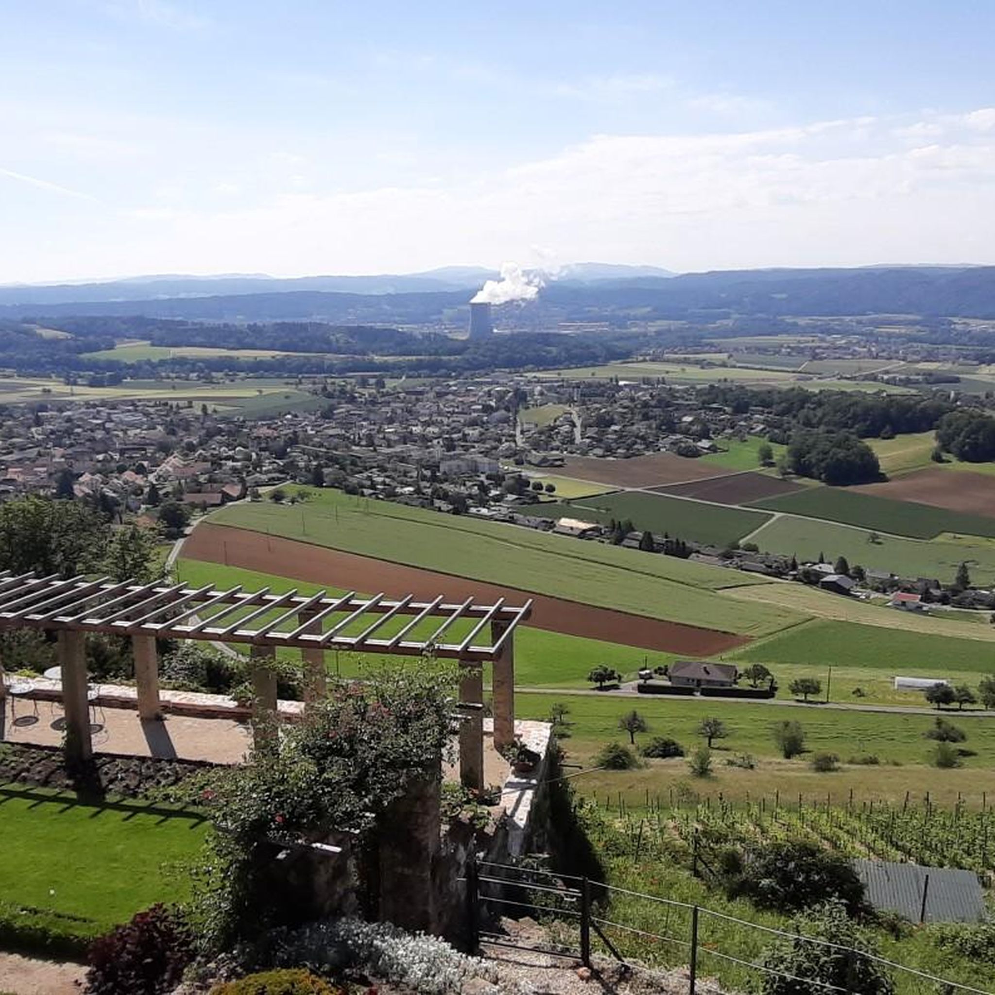
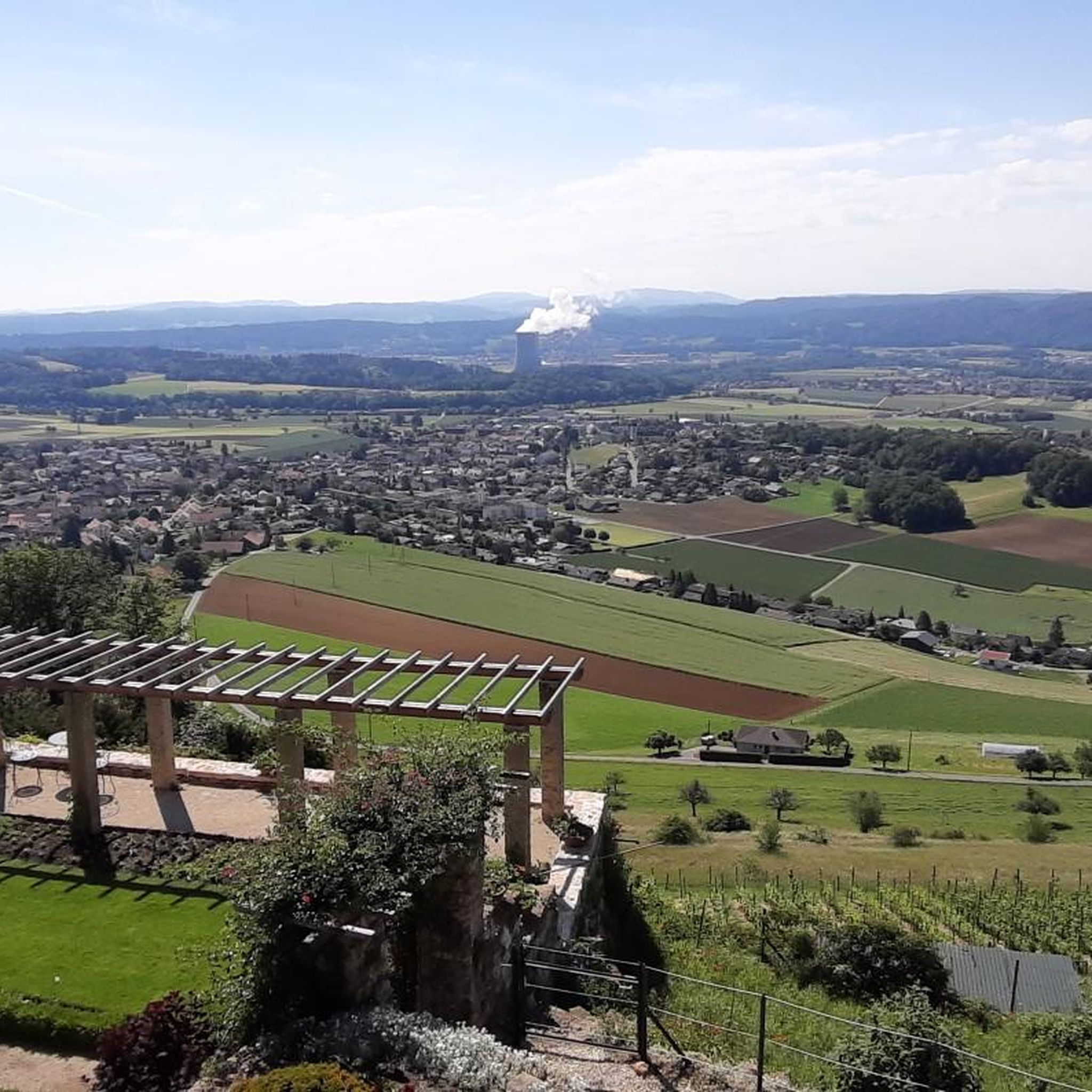
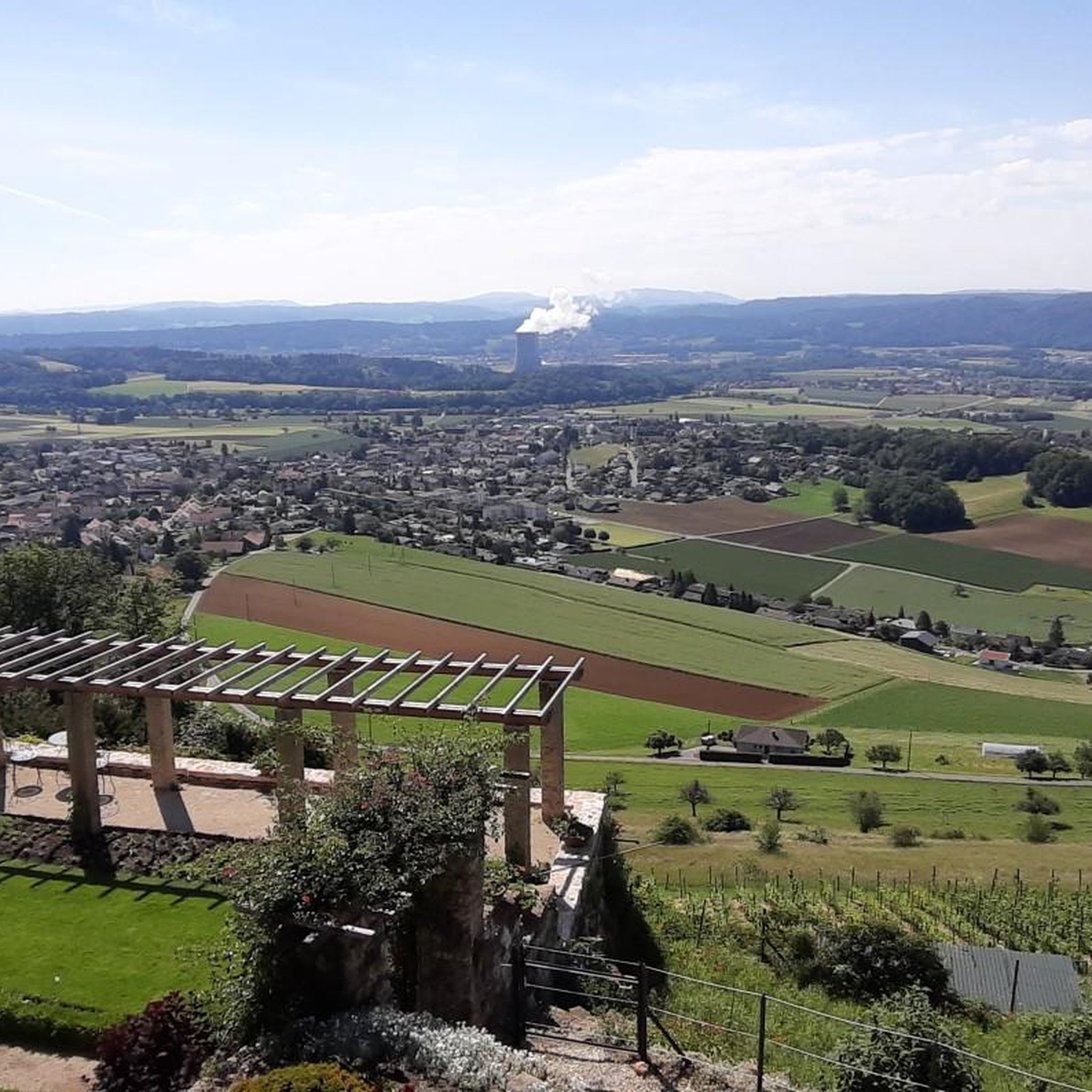
Geissfluhgrat — 아르가우주의 최고 지점
하이라이트 • 정상
Unfortunately, from here you do not have the brilliant view as from the Geissflue.
번역자 Google •
팁에 의해
바르텐펠스 성
하이라이트 • 성
wartenfels.ch
번역자 Google •
팁에 의해

Gwidemflue 능선과 제1차 세계대전 요새
하이라이트 • 역사적 장소
번역자 Google •
팁에 의해

무료로 가입하여 로스토프 주변의 더 많은 자연 기념물을 발견하세요.
무료 회원 가입
이미 komoot 계정이 있나요?
오늘 무료 계정으로 시작하세요
다음 모험이 기다리고 있어요.
로그인 또는 가입하기
커뮤니티 팁

This viewpoint is located on the highest point of the Swiss Belchen on the border between Baselland and Solothurn and is best reached on foot. There are no public transport stations nearby. A car park is available 5 minutes on foot below the Chilchzimmersattel. From there it is a 15-minute hike to the Belchenfluh. Further information The famous "Belchenflue" viewpoint was used as an observation post in World War I and was blasted into its current form. The Belchensüdstrasse between Ifenthal and the Belchenflue commemorates the troops involved in the construction with numerous coats of arms, which immortalized themselves in the rock after the work was completed.
15
2
Since the Wiesenberg is in the forest, this observation tower makes sense. It takes hikers above the treetops and allows a 360-degree panorama. There are panorama boards. The climb is worth it.
6
0

The path to the Gwidmenflue requires sure-footedness on both sides, but is easily doable with the necessary caution and concentration. Particular caution is required when it is wet as the rocks become very slippery. Once at the top, you can explore the old military facilities and enjoy the wonderful view.
1
0
Romantic paths over rocky ridges invite you to climb the Belchenflue at 1,099 m with a unique panoramic view. The viewpoint is located at the highest point of Belchen on the border between Baselland and Solothurn and can be reached on foot. https://www.baselland-tourismus.ch/poi/belchenfluh
6
0

Very nice path over the Belchenflue, sure-footedness is sometimes required, especially when it is wet
8
0

During the Second World War, this tower was used as an air observation post. The forest grew higher and higher, making it necessary to expand the tower. In 1953, it was increased by 6 meters and in 1987 by a further 9.5 meters.
8
0

My chicco felt big on the Top of Aargau ;-)
4
0

The way up to the Gwidemflue is really easy.
2
1


더 살펴보기
로스토프 주변의 최고의 동굴을 찾기 위해 이 가이드를 확인해보세요:
