자베르그에서 가장 멋진 19개의 천연기념물
천연기념물을 방문하여 자베르그의 아름다운 풍경을 만나보세요. 자베르그에 있는 19
개의 천연기념물과 상세 정보를 살펴본 후에 방문하고 싶은 천연기념물을 다음 모험 계획에 추가해보세요!
마지막 업데이트: 10월 13, 2026
아레 강에 있는 Uttigerwelle
하이라이트 • 강
번역자 Google •
팁에 의해

이런 장소를 발견하려면 지금 가입하세요
최고의 싱글 트랙, 봉우리 및 다양한 흥미로운 야외 장소에 대한 추천을 받아보세요.
에두아르트 임호프 기념비
하이라이트 • 기념물
번역자 Google •
팁에 의해

Cholerenschlucht 협곡
하이라이트 • 협곡
번역자 Google •
팁에 의해


오늘 무료 계정으로 시작하세요
다음 모험이 기다리고 있어요.
커뮤니티 팁

The upper part is more demanding than the lower
0
0

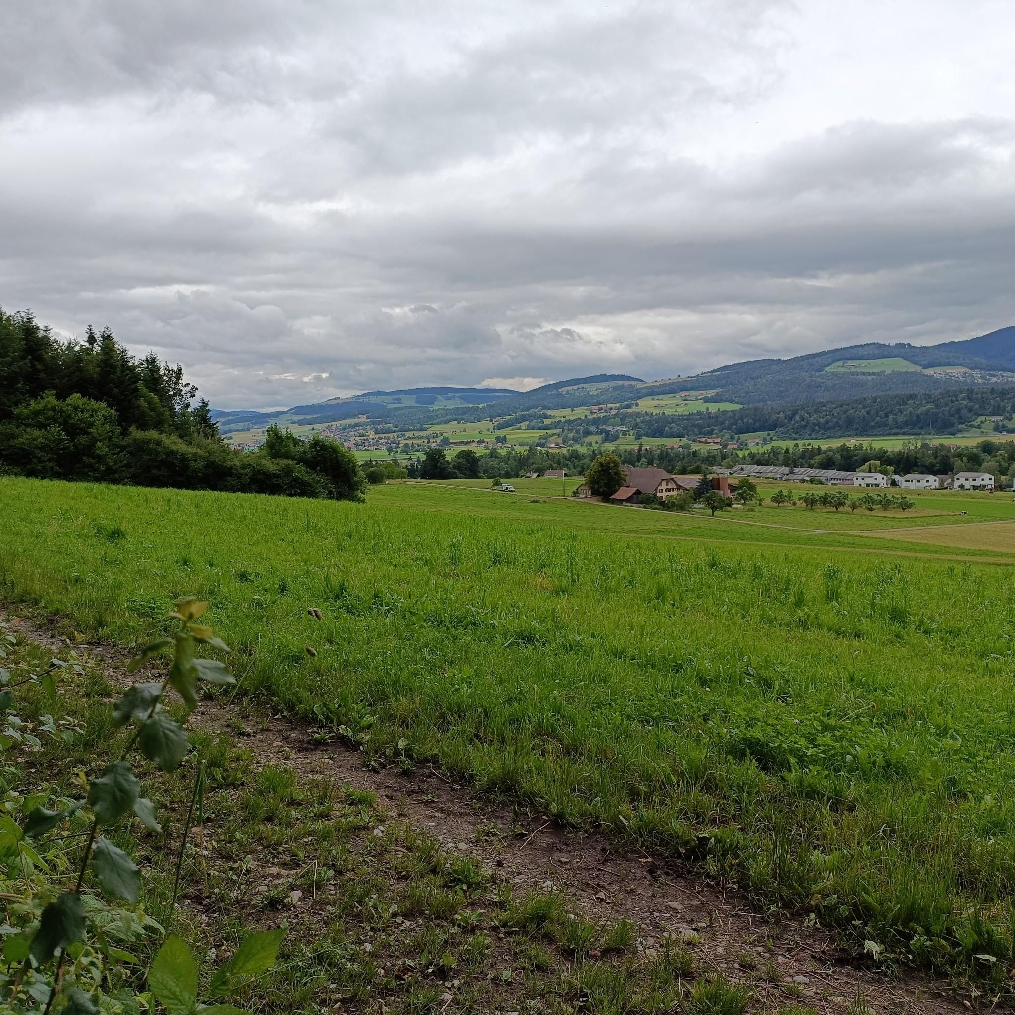
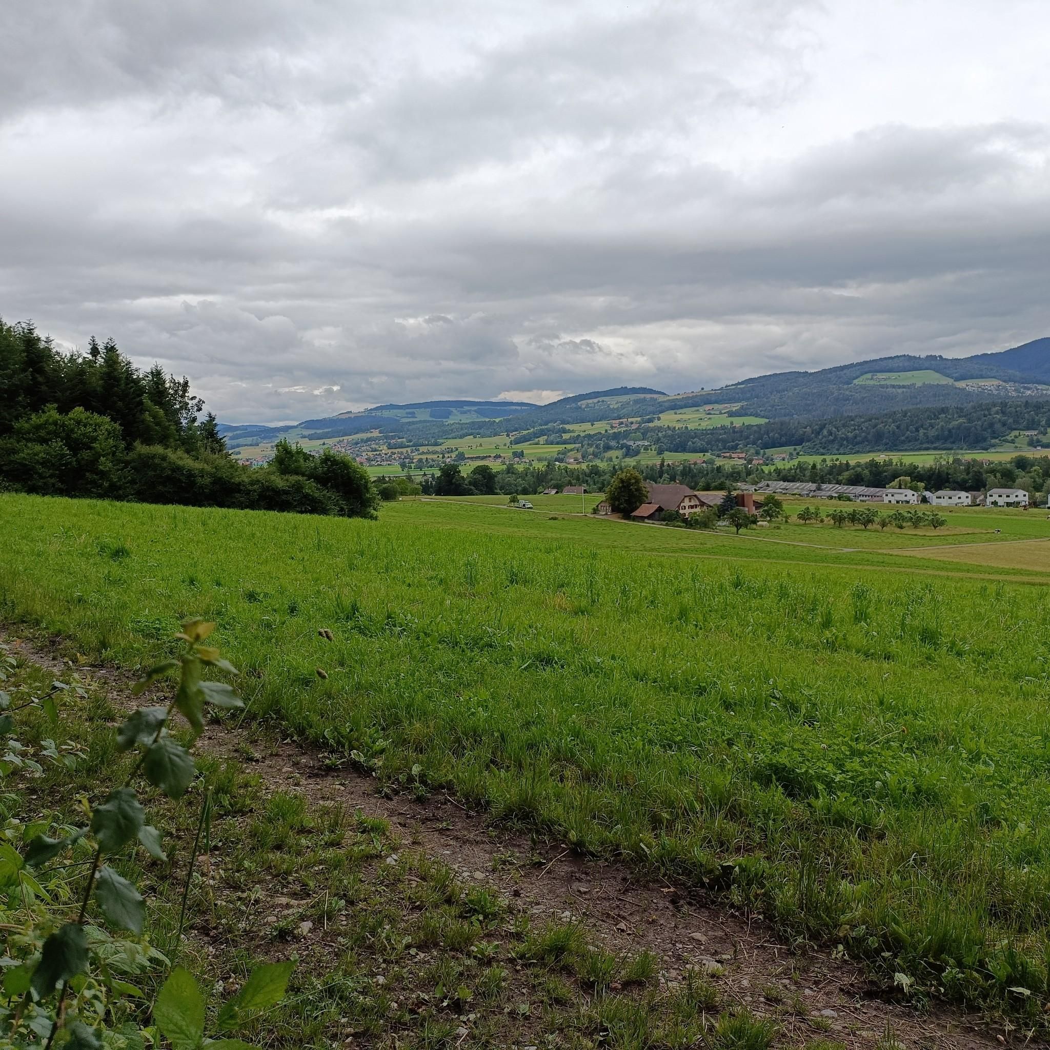
On a small hill above Fahrni, the Eduard Imhof Memorial commemorates the famous Swiss cartographer and relief artist 🗺️📚. Imhof shaped Swiss cartography like no other with his three-dimensional, hand-drawn relief maps. Highlights: ✅ Quiet, historic site with views of the Bernese Alps ✅ Small memorial with an information panel about the man and his work ✅ Ideal as a short detour during bike or hiking tours around Heimenschwand, Steffisburg, or Röthenbach Recommendation: Take a short break, learn about Swiss map history, and enjoy the view 👀🌄. Not an official rest area, but very quiet.
0
0


This lake is also a little jewel against the backdrop of the Eiger, Mönch and Jungfrau, but also the majestic Stockhorn chain. On the lakeshore, the Grizzlybär restaurant with a small animal park and large playground for kids invites you to linger.
0
1

The Choleren Gorge, which was created by the erosion of the Cholerbach. With steep cliffs, thundering waterfalls and winding paths, it offers hikers and nature lovers a spectacular experience. Wooden bridges and stairs enable safe exploration of this fascinating natural setting. The name "Cholerenschlucht" is probably related to traditional charcoal burning. The Choleren Gorge used to be known for its charcoal kilns, where charcoal was produced. The name "Choleren Gorge" could thus refer to this historical activity. A second theory is that the term comes from the Latin word "colera" which means "bile" or "anger" and could refer to the wild waterfalls and the impressive nature of the gorge. A third theory holds that the name comes from the old Swiss German word "chole" meaning "little stream" or "little river".
0
0

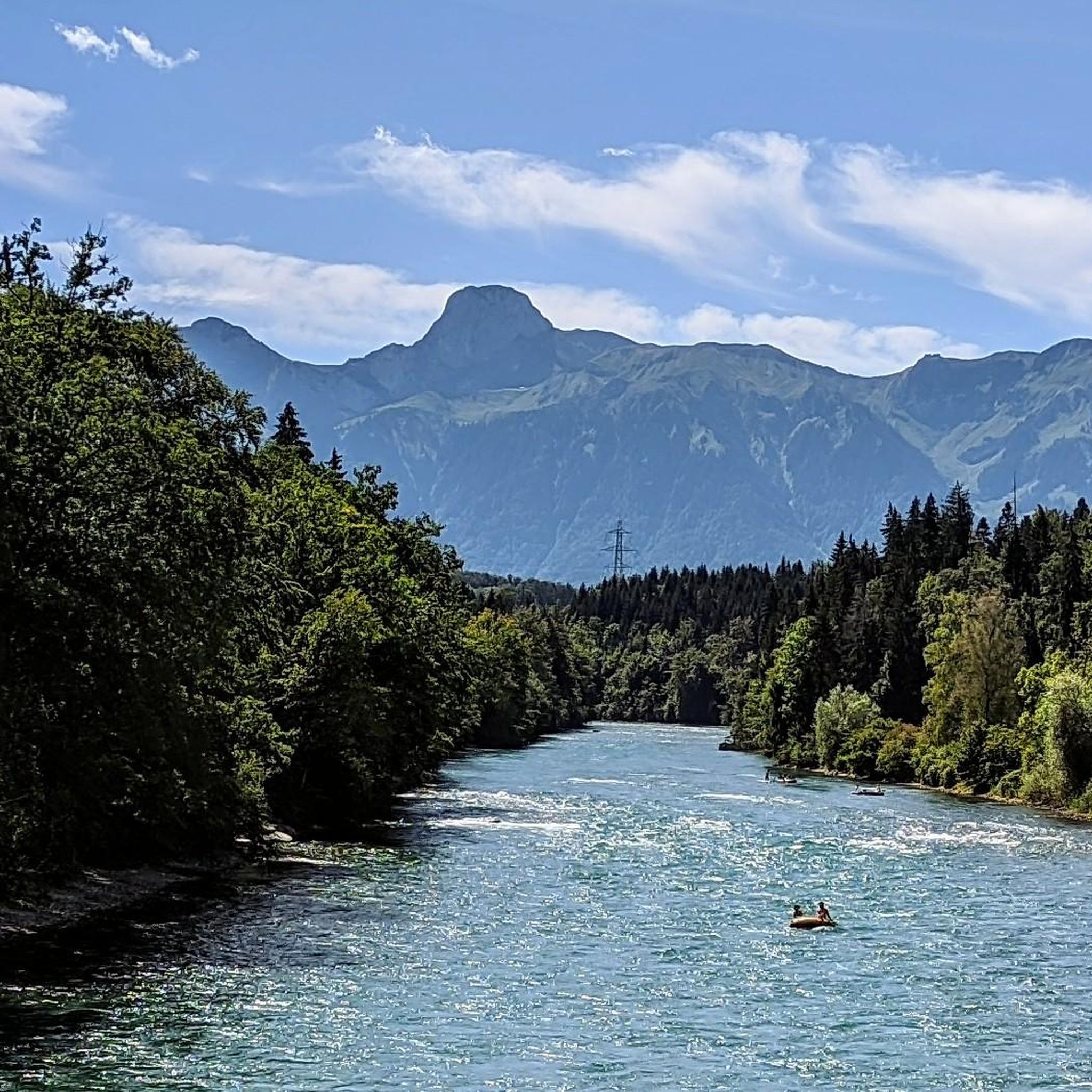
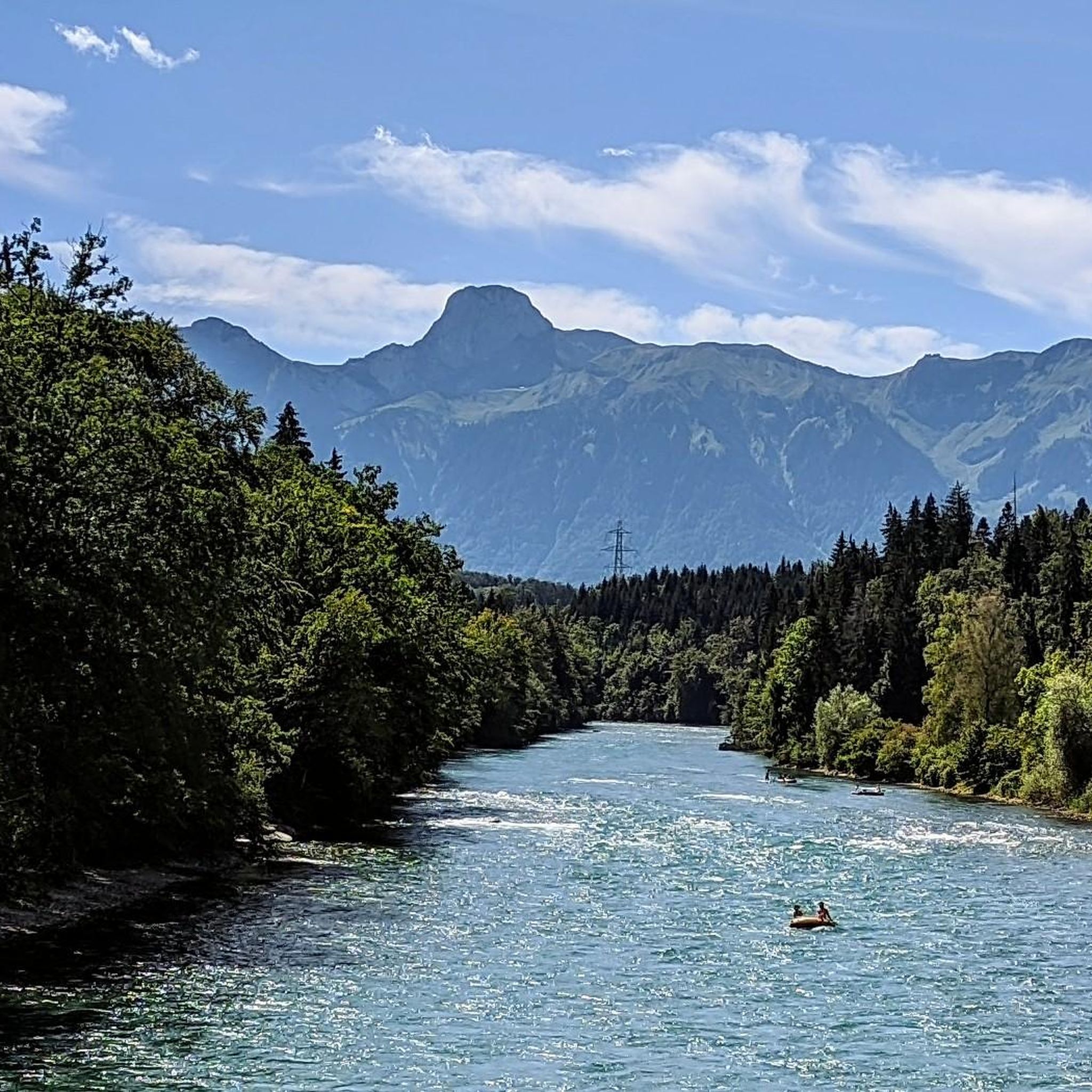
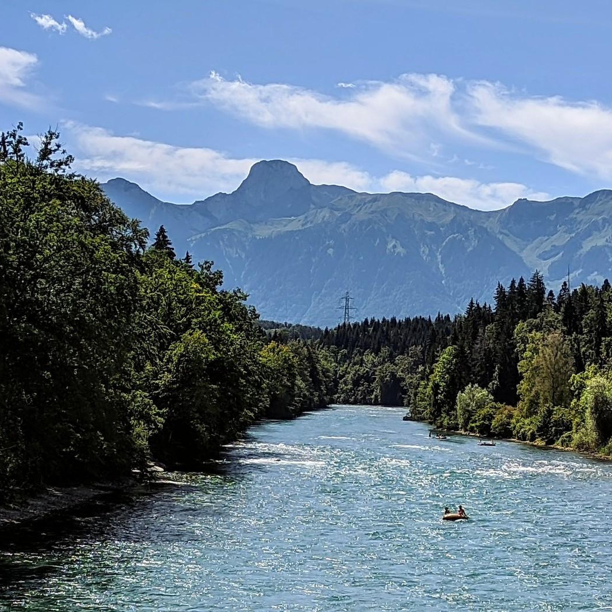
Railway bridge over the Aare on the Bern - Thun route, near Uttigen. Below her is the Uttigerwelle, which is notorious among the "Aareböötler". This has capsized many a rubber boat and caused an unwanted cooling.
2
0
자베르그 주변에서 가장 인기 있는 명소


더 살펴보기
자베르그 주변의 최고의 동굴을 찾기 위해 이 가이드를 확인해보세요:
