알버타에서 가장 멋진 16개의 산길
알버타에서 가장 멋진 산길을 아래에서 살펴보세요. 풍경을 감상하기에도 좋고, 오르막길/내리막길을 따라 걷기에도 좋은 곳이랍니다. 커뮤니티가 특별 도움을 통해 공유한 콘텐츠인 만큼 믿을 수 있는 정보이니 마음에 드는 산길이 있다면 바로 다음 모험 계획에 추가해서 바로 방문해보세요.
마지막 업데이트: 7월 23, 2026


이런 장소를 발견하려면 지금 가입하세요
최고의 싱글 트랙, 봉우리 및 다양한 흥미로운 야외 장소에 대한 추천을 받아보세요.
무료 회원 가입

런들 산 전망
하이라이트 • 전망대
(2018년 5월 28일 방문)
en.wikipedia.org/wiki/Mount_Rundle
번역문 보기
팁에 의해

캔모어 노르딕 센터 주립공원 전망
하이라이트 • 전망대
팁에 의해

재스퍼–밴프 국립공원 경계
하이라이트 • 기념물
팁에 의해

Howse Pass
하이라이트 • 산악 고개
팁에 의해

오픈 슬로프 트레일, Banff 국립공원
하이라이트 • 트레일
번역자 Google •
팁에 의해

에디스 패스 트레일헤드
하이라이트 • 트레일
번역자 Google •
팁에 의해
무료로 가입하여 알버타의 더 많은 산악 고개를 발견하세요.
무료 회원 가입
이미 komoot 계정이 있나요?
오늘 무료 계정으로 시작하세요
다음 모험이 기다리고 있어요.
로그인 또는 가입하기
알버타 주변 인기 장소

그레이트 디바이드 산악 자전거 루트 - 대륙의 척추를 자전거로 달리다

Cross Canada Ride — 동쪽으로 6,800km 진행

오화리스타 80일 시작스
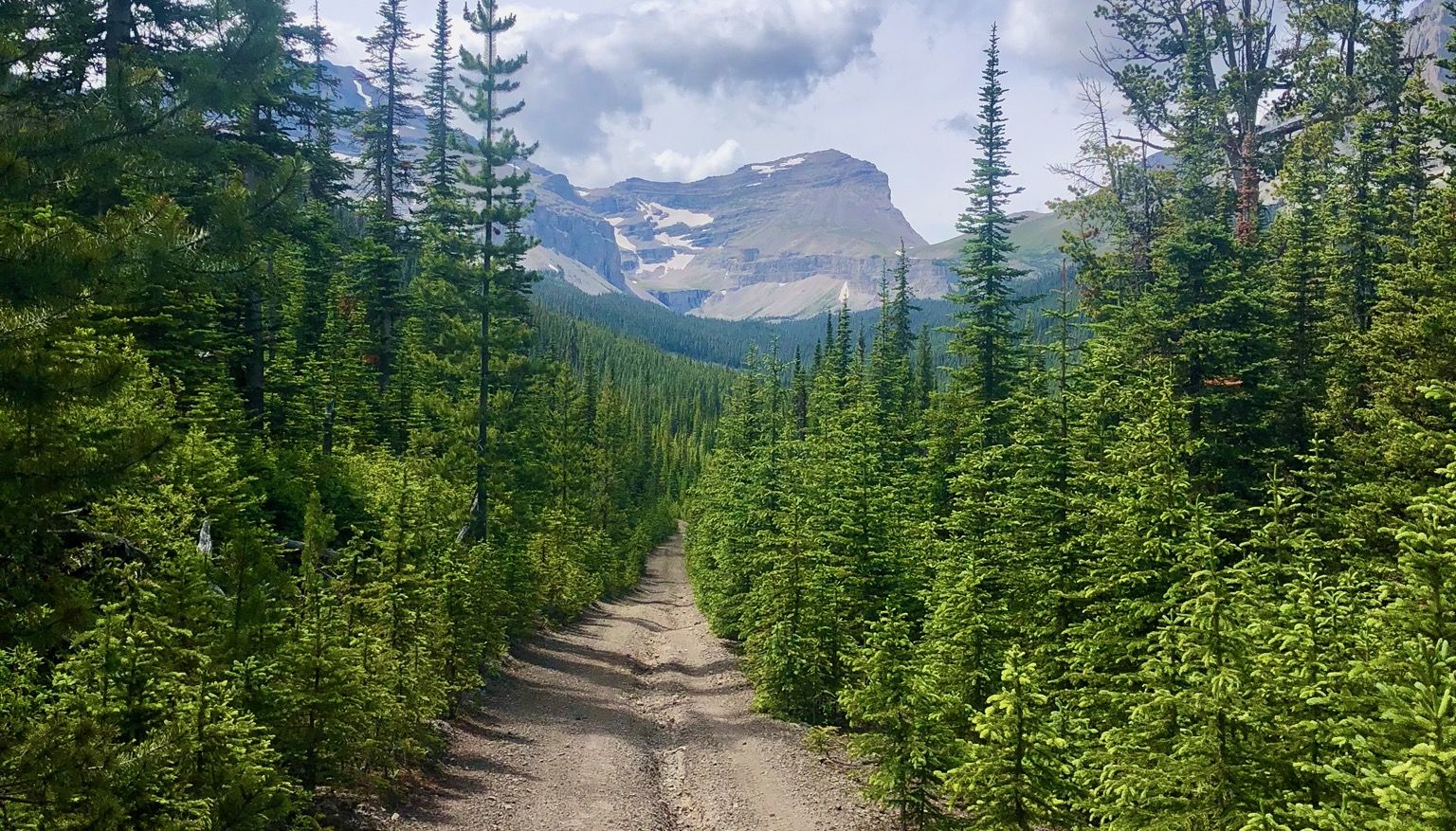
록키 산맥 뛰기 - 산악 빠른 배낭 투어 #5

Canada by train – scenic hikes from Western stations
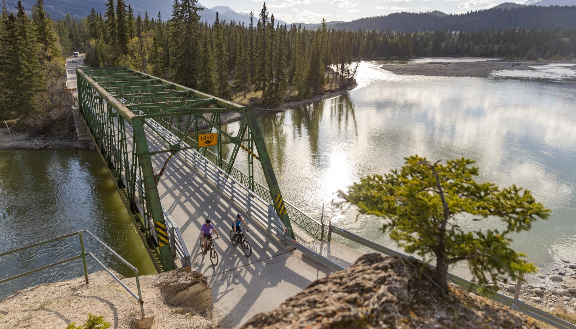
City, forest, river - explore diverse Alberta by bike
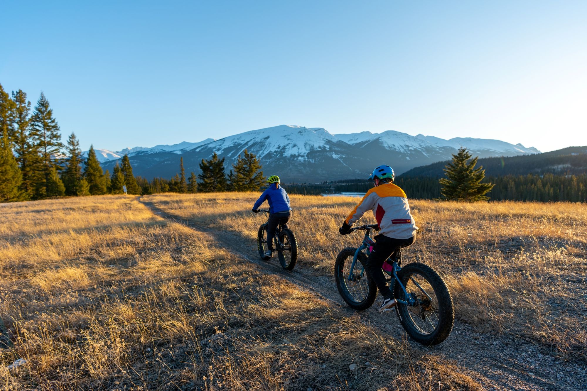
Hop on the trails – mountain biking & fat biking in Alberta
The longest footpath in the world – Trans Canada Trail
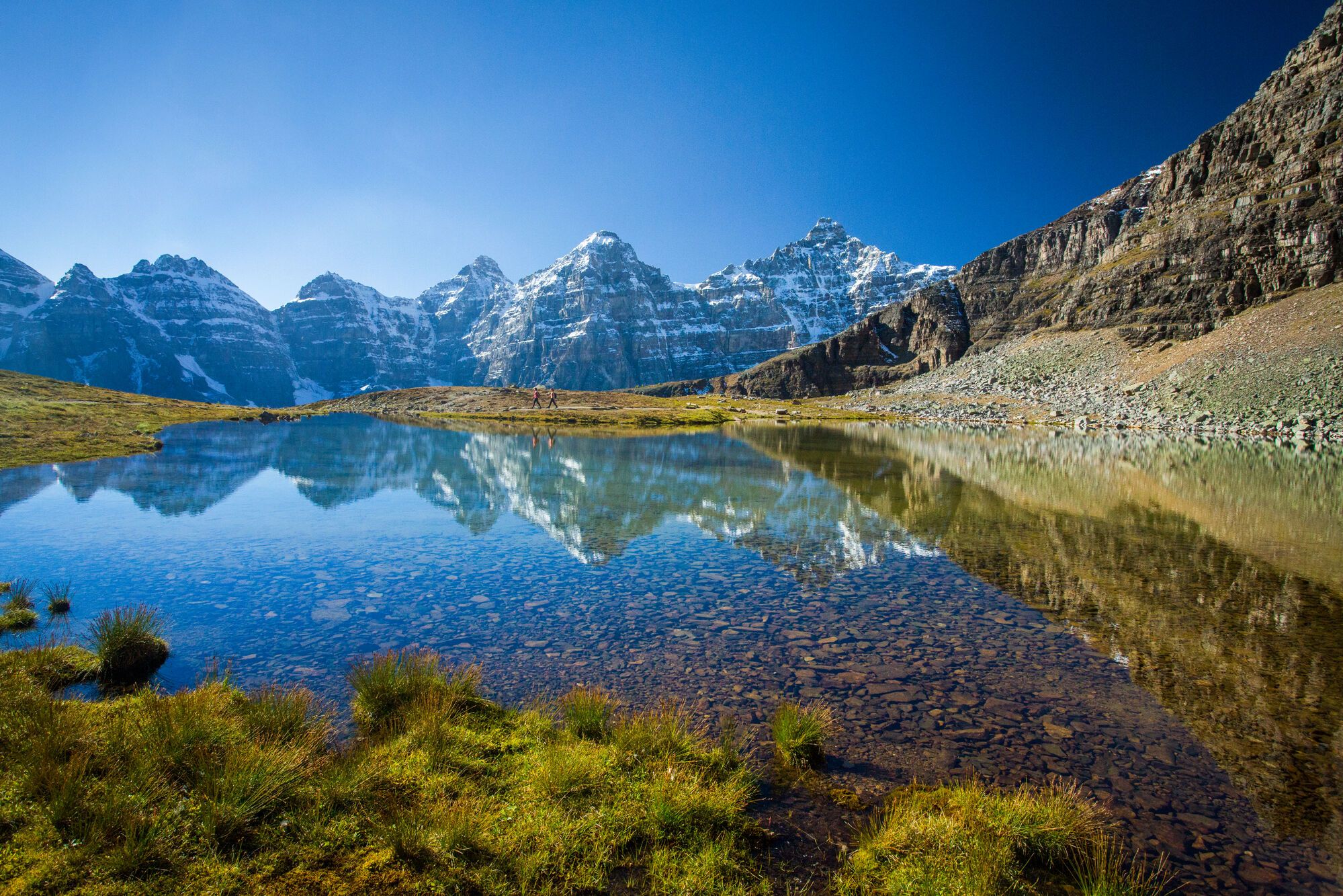
Spectacular road trip hikes – discover Calgary and Southern Alberta
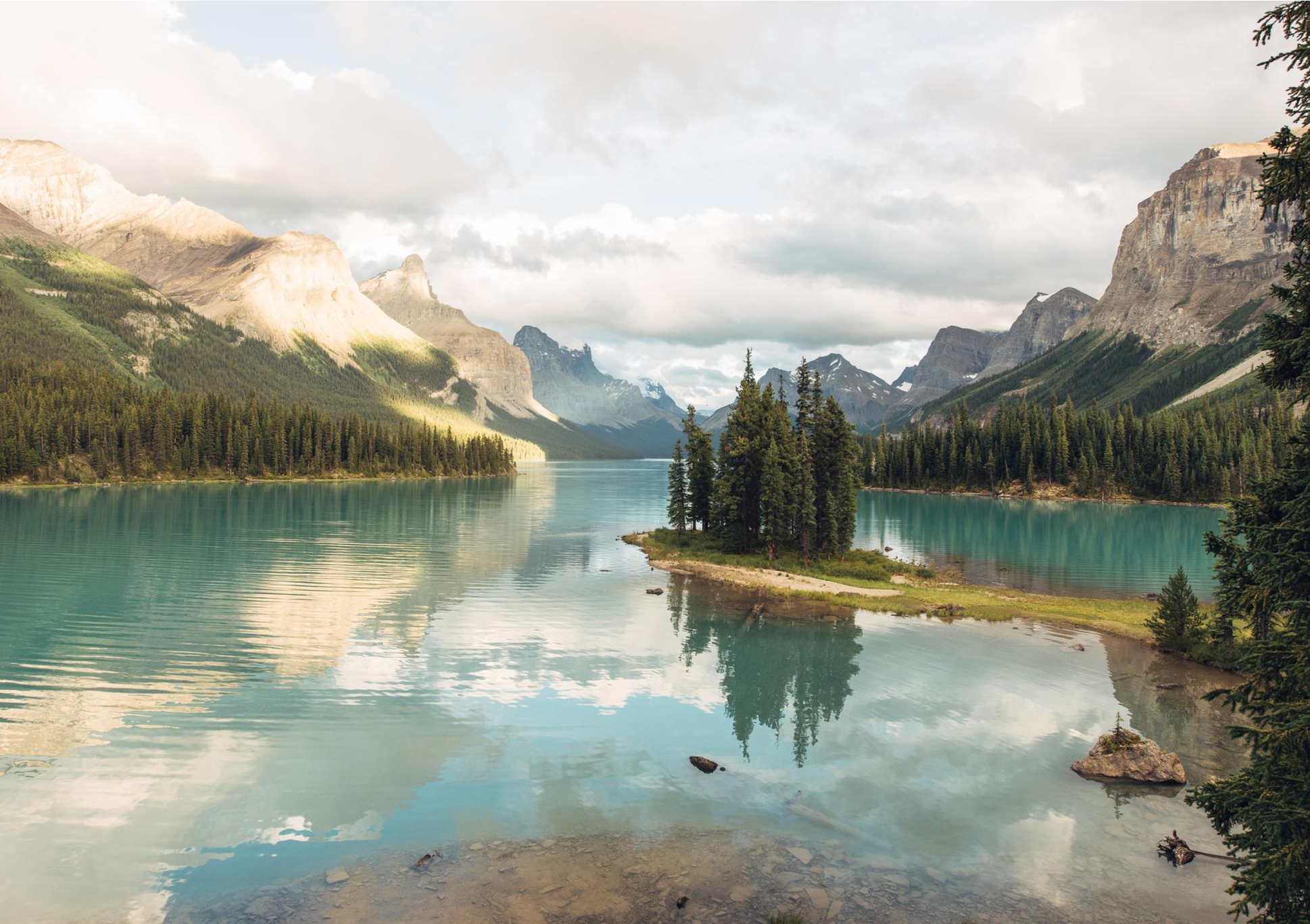
Waterfalls and wild lakes – hiking in Northern Alberta and Jasper
알버타의 다른 모험


커뮤니티 팁

이것은 밴프 국립공원에서 재스퍼 국립공원으로 가는 직접적인 연결입니다. 왜 이 두 곳이 별개의 공원이어야 하는지는 아무도 정확히 모르는 것 같습니다.
1
0

Highwood Pass sits at 2,206 meters and is the highest paved road in Canada. Keep your eyes out for wildlife near the road like bighorn sheep, elk, deer, moose, and sometimes grizzly or black bears. There is parking and restrooms at the turnaround here and the Highwood Meadows Trailhead.
1
0

Just a short walk from Spray Lakes Road, you’ll reach a rocky shoreline with open views toward Canmore Nordic Centre Provincial Park, where ski and biking trails wind across the lower slopes. From here, you can clearly see how the park sits beneath the rugged front ranges of the Rockies.
0
0

Howse Pass connects the North Saskatchewan River and Columbia River systems. While the North Saskatchewan River drains to the east and empties into Hudson Bay, the waters of the Columbia River flow into the Pacific Ocean. At 1,539 m (5,000 ft) elevation, Howse Pass is lower than other passes in the Rocky Mountains. However, plans to build a road over the pass were scrapped because it would have passed through Banff National Park. Howse Pass was declared a National Historic Site of Canada in 1978. (Visit May 30, 2018) https://www.pc.gc.ca/apps/dfhd/page_nhs_eng.aspx?id=27&i=72560
1
0
마운트 런들은 밴프에서 캠모어까지 보우 강 계곡을 따라 12km 이상 뻗어 있습니다. 이 산에는 7개의 눈에 띄는 봉우리가 있으며 작은 산맥으로 간주될 수 있습니다. 밴프 남동쪽에 있는 가장 높은 봉우리는 높이가 2,949m입니다. (2018년 5월 28일 방문) https://en.wikipedia.org/wiki/Mount_Rundle
2
0

very popular early season ride. You might see a bear, or an e-biker along the way. Best to stay clear and wait a little while until the road is clear
1
0

The sign designating the border between Jasper and Banff National Parks is just a few hundred meters away from Sunwapta Pass, the second highest point on the Icefields Parkway. Not much at the turnout, but it is a nice milestone that you can stop and give yourself a pat on the back!
1
0

Beautiful hike with breathtaking views of the Sentinel Pass. The descent was quite tough as the route was only marked by cairns and ran along loose stones.
0
0


찾고 계신 것을 찾지 못하셨나요?
알버타의 더 놀라운 산악 통과를 지역별로 찾아보세요:
더 살펴보기
이 가이드를 통해 더 많은 장대한 산악 통과를 확인해보세요 알버타:
