도넥에서 가장 멋진 4개의 산길
도르네크(Dorneck)의 산길은 솔로투른(Solothurn) 주에 위치하며, 전통적인 고산 지대의 길이라기보다는 고지대와 경치 좋은 전망대로 특징지어집니다. 이 지역은 전망과 레크리에이션 기회를 제공하는 다양한 고지대를 제공합니다. 이 장소들은 자연의 아름다움으로 가치가 있으며 야외 활동을 위한 인기 있는 장소로 사용됩니다. 이 지역의 지리는 쥐라 산맥(Jura Mountains)의 일부를 포함하여 탐험할 수 있는 다양한 풍경을 제공합니다.
도르네크 최고의 산길
- 가장 인기 있는 산길은 알자스/바젤 지역과 라우펜(Laufen)을 연결하는 산길인 Chall Pass입니다. 이 길은 라우펜/뢰셴츠(Röschenz)에서 꾸준한 오르막과 메처렌(Metzerlen)에서 더 가파르고 짧은 오르막을 특징으로 합니다.
- 또 다른 꼭…
마지막 업데이트: 9월 2, 2026


이런 장소를 발견하려면 지금 가입하세요
최고의 싱글 트랙, 봉우리 및 다양한 흥미로운 야외 장소에 대한 추천을 받아보세요.
무료 회원 가입

Tüfletehöchi 목조 조각상
하이라이트 • 기념물
번역자 Google •
팁에 의해
오늘 무료 계정으로 시작하세요
다음 모험이 기다리고 있어요.
로그인 또는 가입하기



커뮤니티 팁


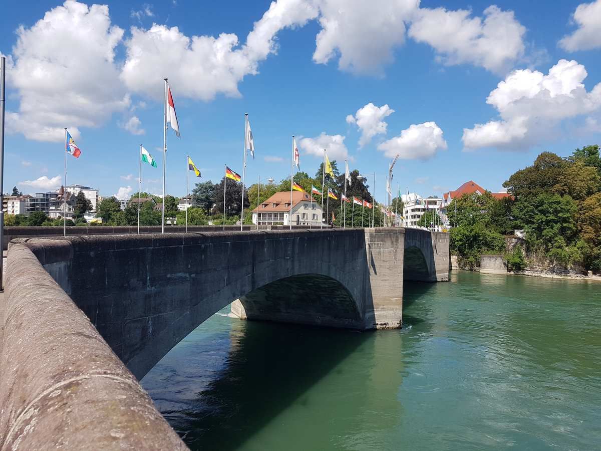
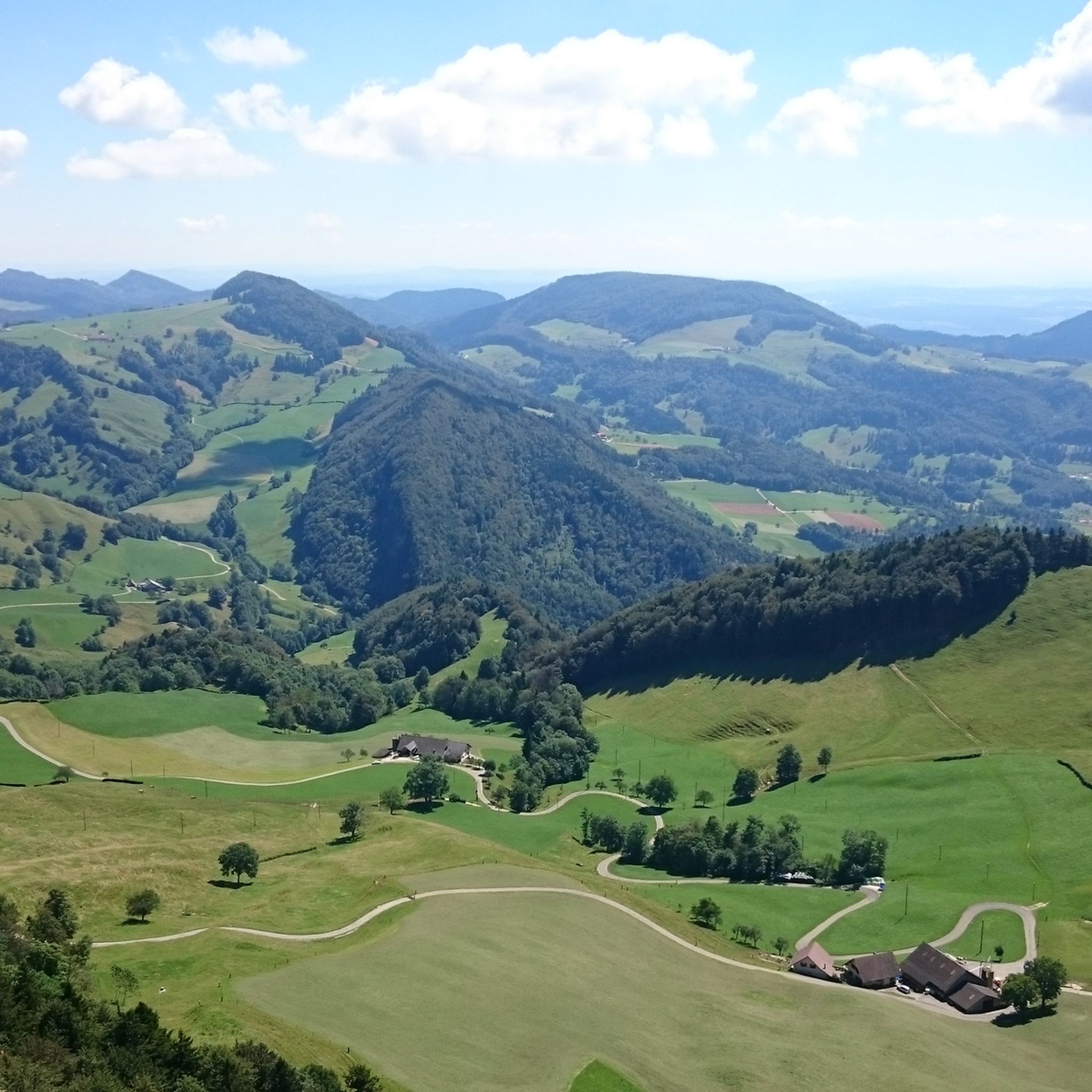
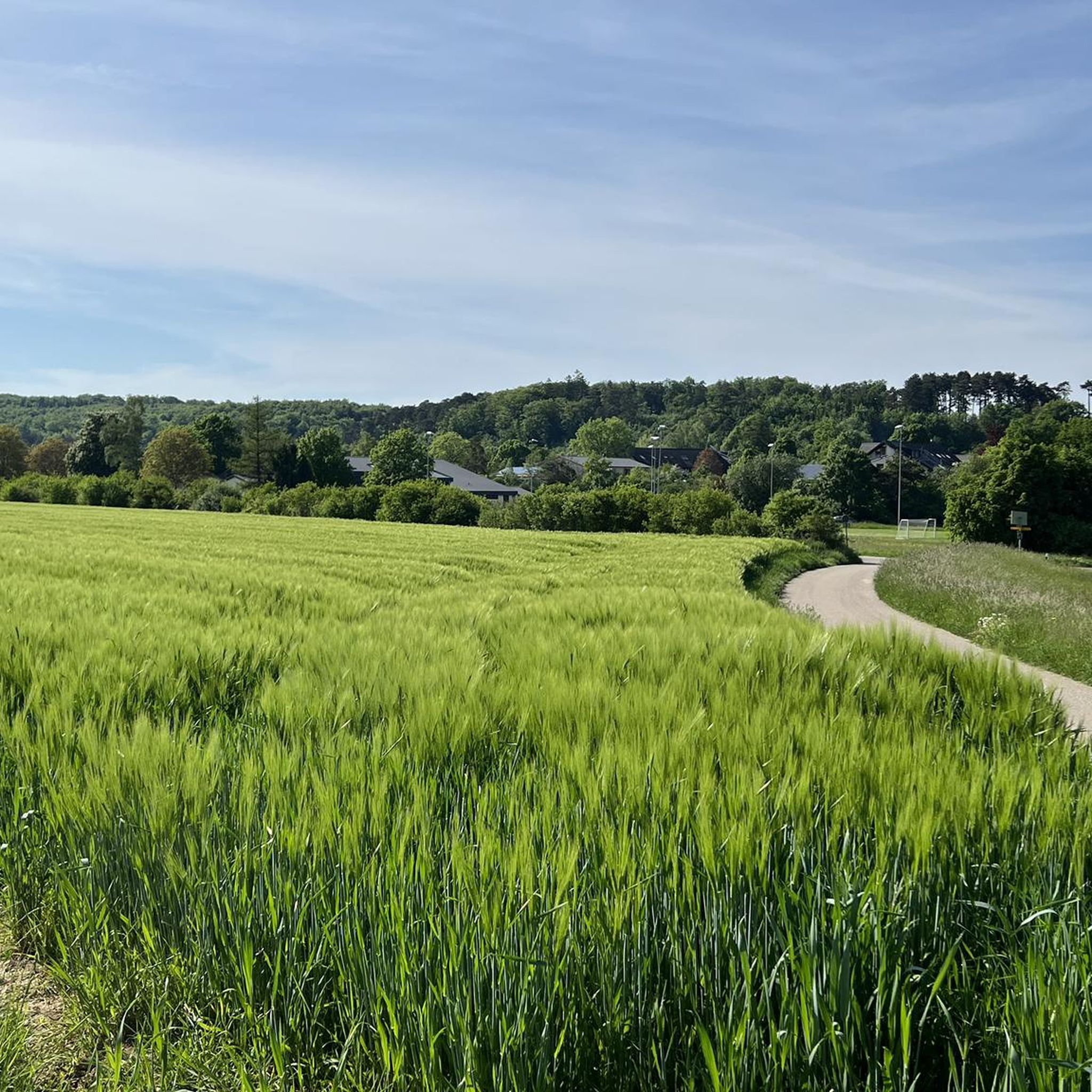
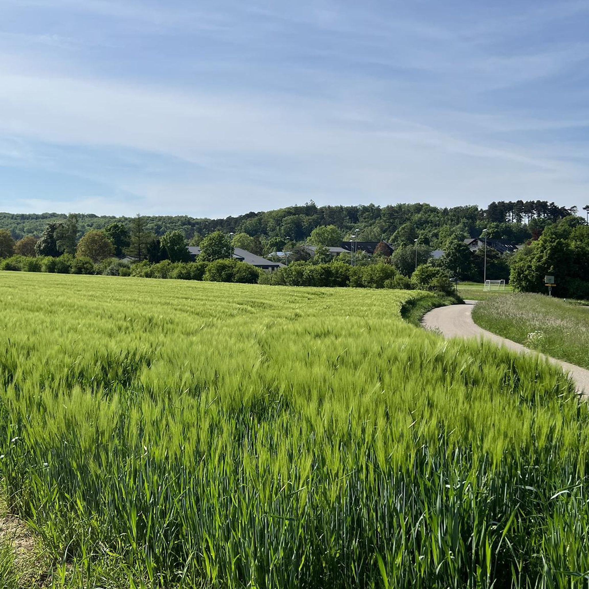
The Blauen Pass connects the Laufental valley with the Basel region at an altitude of approximately 870 meters. The wooded pass is a popular destination for hikers and cyclists. On a clear day, it offers beautiful views as far as the Alps and the Jura Mountains.
5
0

From Laufen/Röschenz, it's a steady climb and never particularly steep, but it's a long one until you get to the very top. From Metzerlen, it's really nasty and steep, but shorter. One of the region's classics.
1
0
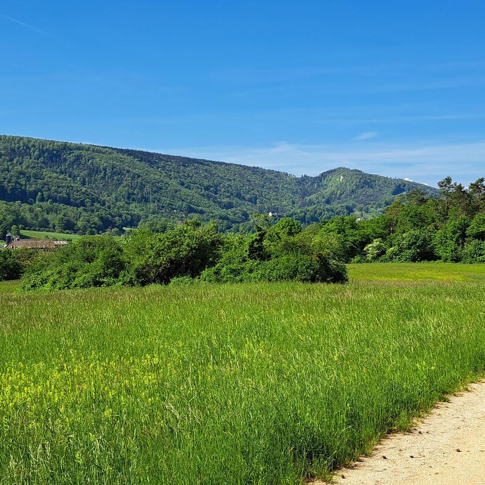
Tüfletehöchi is a mountain saddle in Hochwald, Dorneck, Canton Solothurn and has an altitude of 660 meters. Tüfletehöchi is located near Obertiefental and Hochwald SO.
0
0

The only crossing from Alsace / Basel area to Laufen far and wide. Unfortunately, it is also quite frequented by motorized traffic.
2
0
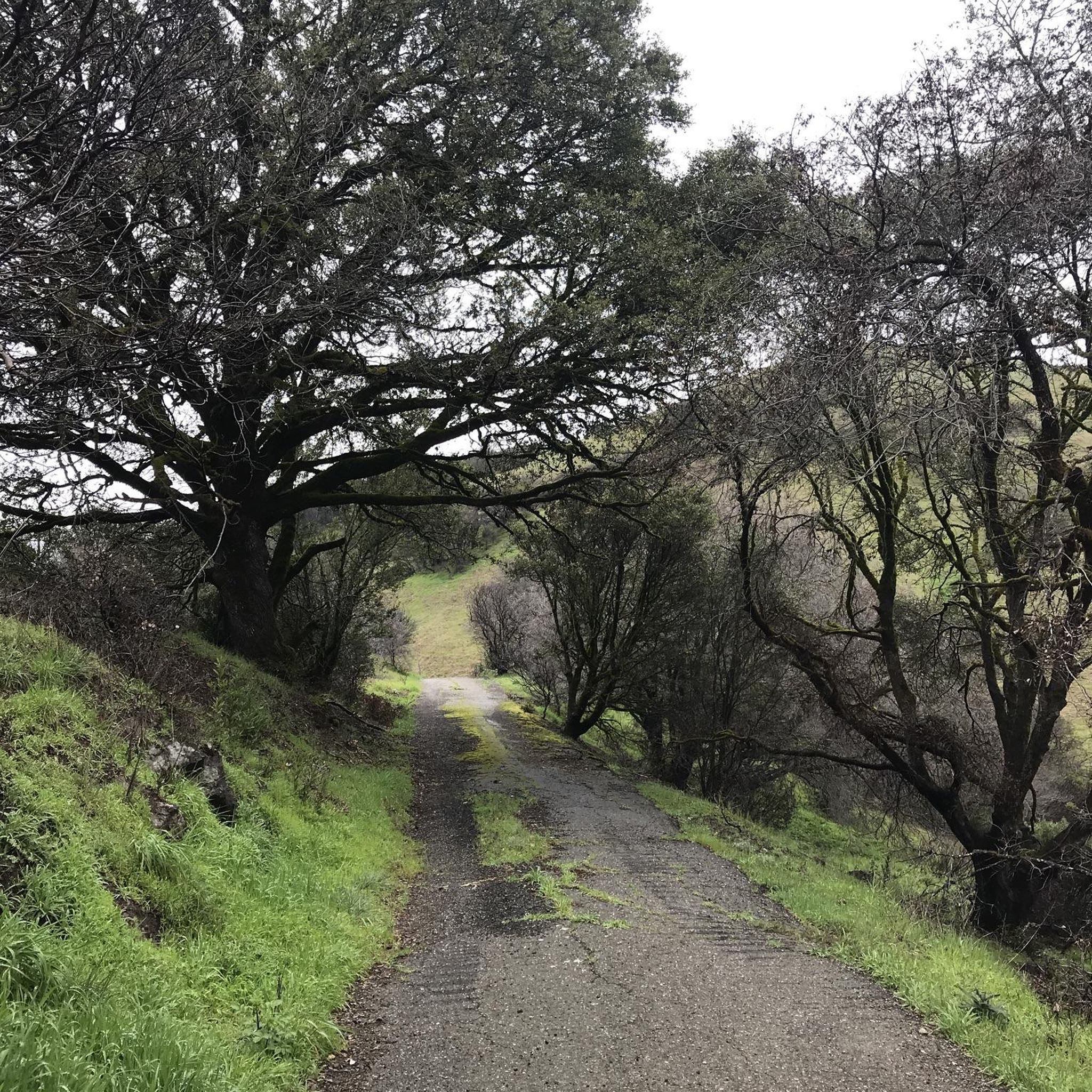
The Challpass is an unspectacular curve with a parking lot or postbus turning point on a busy main road. Nevertheless far and wide one of the few possibilities to cross the blue chain in north-south direction or vice versa.
2
0


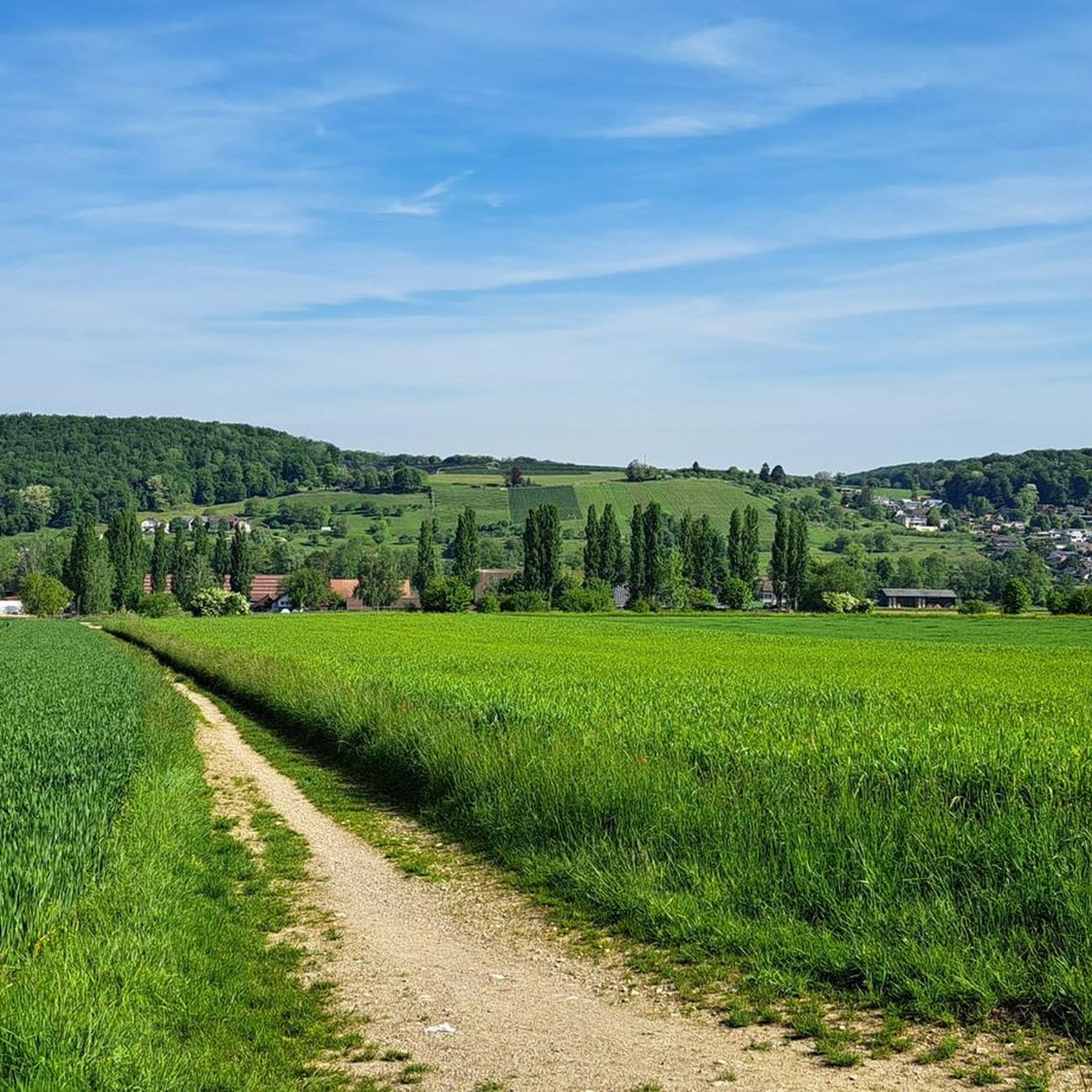
The photo shows Metzerlen, which is the starting point for the ride up to Chall. (The apple is the biggest I have seen in this region so far). The descent from Chall via Röschenz down to Laufen is nice, where you can drive up to other places such as Nunningen/Nunningerhöhe on the other side of the Laufental.
0
0
자주 묻는 질문
도르네크에서 가장 경치 좋은 산길은 어디인가요?
숨 막히는 경치를 감상하려면, 맑은 날에는 알프스와 쥐라 산맥까지 보이는 블라우엔 고개를 고려해 보세요. 젬펜슈트라세 근처에서 접근 가능한 젬펜 고원 역시 탁 트인 파노라마 전망을 제공합니다. 전통적인 고개는 아니지만, 벨첸플루에 고개 지역은 주변 쥐라 산맥의 멋진 전망으로 유명합니다.
도르네크에 가족 친화적인 산길이나 지역이 있나요?
네, 튀플레테회키 목각 조각 지역은 가족 친화적인 곳으로 표시되어 있으며, 호흐발트에서 즐거운 산 안장 경험을 제공합니다. 젬펜 고원 역시 레스토랑과 오래된 전망대가 있어 가족에게 적합하며 다양한 야외 활동에 좋습니다.
도르네크 산길 근처에서 어떤 역사 유적지를 찾을 수 있나요?
고개 바로 위에 있는 것은 아니지만, 도르네크 성 유적은 이 지역의 중요한 역사 유적지로 바젤과 도르나흐를 내려다보는 전망을 제공합니다. 블라우엔베르크 산맥은 블라우엔베르크 트레일을 통해 접근할 수 있으며, 페피겐을 포함한 여러 성 유적으로도 유명합니다.
도르네크 산길 주변에서 어떤 독특한 자연 지형을 발견할 수 있나요?
이 지역은 쥐라 산맥으로 특징지어지며, 벨첸플루에 고개 지역은 단단한 석회질 석회암으로 이루어진 절벽이 있습니다. 블라우엔베르크 산맥은 독특한 원거리 전망을 제공하며, 다양한 고개는 주변 자연 경관에 대한 특별한 시각을 제공합니다.
도르네크 산길의 주차 옵션은 어떻게 되나요?
샬 고개에는 주차장이 있습니다. 벨첸플루에 고개의 경우, 칠치머삿텔까지 차로 올라갈 수 있으며, 그 이후로는 하이킹 트레일이 됩니다.
대중교통으로 도르네크 산길에 어떻게 갈 수 있나요?
샬 고개는 포스트버스가 회차하는 지점이므로 대중교통으로 접근 가능합니다. 다른 지역은 고개나 전망대에 도달하기 위해 대중교통과 하이킹을 조합해야 할 수 있습니다.
도르네크의 산길을 방문하기 가장 좋은 시기는 언제인가요?
도르네크의 산길을 방문하기에는 일반적으로 봄, 여름, 가을이 이상적이며, 하이킹, 사이클링, 경치 감상을 위한 쾌적한 날씨를 제공합니다. 겨울철에는 눈이나 얼음으로 인해 일부 트레일이 어려워질 수 있습니다.
도르네크의 산길 근처에 카페나 레스토랑이 있나요?
네, 젬펜슈트라세(Gempenstrasse) 지역에는 레스토랑이 있습니다. 젬펜 고원(Gempen Plateau)에도 레스토랑이 있으며, 도르네크 성터(Dorneck Castle Ruins) 유적지에는 안뜰에 레스토랑이 있습니다. 슐라이펜베르크 타워(Schleifenberg Tower) 지역에도 근처에 영업 중인 레스토랑이 있습니다.
도르네크의 산길 주변에서 어떤 야외 활동을 할 수 있나요?
이 지역은 다양한 야외 활동에 탁월합니다. 러닝 트레일, 차량 통행 없는 자전거 도로, MTB 트레일 등 수많은 옵션을 찾을 수 있습니다. 인기 있는 활동으로는 하이킹, 사이클링, 높은 곳에서 파노라마 전망을 즐기는 것이 있습니다.
도르네크의 산길에서 자전거를 탈 수 있나요?
네, 도르네크의 여러 산길은 사이클링으로 인기가 많습니다. 젬펜슈트라세(Gempenstrasse)는 균형 잡힌 완만한 경사로 유명하며, 샬 패스(Chall Pass)와 블라우엔 패스(Blauen Pass)도 사이클리스트들이 자주 이용합니다. 샬 패스와 같은 일부 산길은 차량 통행이 많을 수 있으니 주의하십시오.


찾고 계신 것을 찾지 못하셨나요?
도넥의 더 놀라운 산악 통과를 지역별로 찾아보세요:
더 살펴보기
이 가이드를 통해 더 많은 장대한 산악 통과를 확인해보세요 도넥:
