불에서 가장 멋진 20개의 산 정상
불의 산 정상에 오르면 이 지역의 아름다운 모습을 제대로 구경할 수 있어요. 다만, 20
곳이나 되는 산 정상 중에서 어떤 곳을 가야 할 지 고민된다는 게 문제죠. 불에서 가장 멋진 산 정상을 살펴본 후에 마음에 드는 산 정상을 다음 모험 계획에 추가해보세요.
마지막 업데이트: 9월 13, 2026


이런 장소를 발견하려면 지금 가입하세요
최고의 싱글 트랙, 봉우리 및 다양한 흥미로운 야외 장소에 대한 추천을 받아보세요.

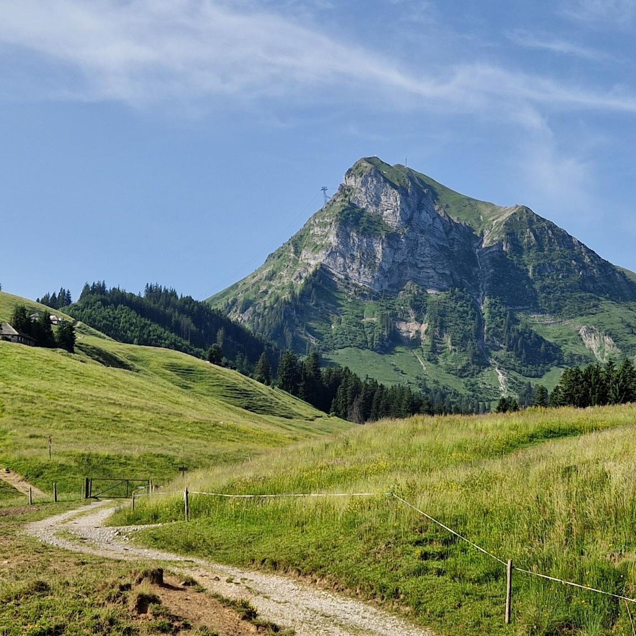
Vounetse 정상
하이라이트 • 정상
번역자 Google •
팁에 의해

오늘 무료 계정으로 시작하세요
다음 모험이 기다리고 있어요.

불 주변의 다른 모험


커뮤니티 팁

라 베라(La Berra)는 1,719m 높이로, 프리부르 알프스 산맥에서 가장 아름다운 전망 봉우리 중 하나입니다. 정상에서는 그뤼에르 호수, 주변 쥐라 산맥의 고지대, 그리고 맑은 날에는 베른 알프스와 보 알프스까지 멀리 내다볼 수 있습니다. 여러 하이킹 코스가 정상으로 이어집니다. 넓은 고산 목초지를 가로지르는 순환 하이킹은 특히 매력적입니다.
4
0


360도 파노라마 정상에서 거대한 파노라마 전망을 즐기세요: 북쪽: 반짝이는 제네바 호수와 쥐라 산맥까지의 미틀란트 전역. 남쪽 및 동쪽: 몽블랑 산군과 베른 알프스의 거대한 봉우리들. 🍴 미식 & 천문대 정상 레스토랑: 현대적인 Le Sommet 레스토랑은 산악 역 바로 옆에 있습니다. 넓은 전망 테라스와 현지 특선 요리(진정한 그뤼예르 퐁듀 등)를 제공합니다. 🚡 정상으로 가는 길 편안한 옵션 (케이블카): 몰레종 빌리지에서 푸니쿨라를 타고 플랑-프랑세로 이동한 다음, 정상까지 직접 연결되는 대형 케이블카로 갈아탑니다. 스포츠 옵션 (하이킹 코스): 서쪽 경사면을 따라: 플랑-프랑세에서 출발하는 아름답고 고전적인 산악 하이킹 코스(약 1시간 45분, T2). 능선 트레일을 따라: 비아 페라타(Le Pilier 또는 La Face)를 통해 오르는 사람들은 하산 후 약 20분 동안 멋진 안전 능선 길을 따라 주봉에 도달합니다.
1
0

Destination of various snowshoe tours (271, ...)
0
0

La Vounetse is a peak in the Swiss Alps, near the town of Charmey, in the canton of Fribourg. It offers stunning views of the Gruyère region and the surrounding mountains, as well as a variety of trails for different levels of difficulty. One of the most popular trails is the Panorama de la Vounetse loop, which leaves from the Charmey gondola station and takes you to the top of the Vounetse and back in about an hour. This trail is great for bird watching, running, or enjoying the wildflowers and wildlife along the way. The best time to visit this trail is from April to October, when the weather is mild and the landscapes are colorful.
2
0
The upper station of the Tèlé-Chamey cable car is an excellent way to see this summit and discover the region at the foot of the Dent de Vounetse (1812 m). You'll enjoy stunning views of Gruyère and the surrounding mountains, and have the opportunity to spot wildlife and wildflowers along the way. The best times to visit this trail are July to August, when the weather is mild and the snow has melted. Whether you choose to hike the entire trail or just part of it, you're sure to have a memorable and rewarding experience at Vounetse.
3
0
Vanil Noir is the highest peak in the Friborg Prealps, a mountain range in Switzerland. It is also a nature reserve that is home to a rich biodiversity of flora and fauna. From the summit, you will enjoy breathtaking views of the Gruyère and Pays d'Enhaut regions, as well as the neighboring peaks of Vanil du Van and Tête de l'Herbette. The level of alpine difficulty of Vanil Noir varies depending on the route chosen. The most common route, from Grandvillard to the Bounavaletta pass and then to the north ridge, is classified T4+1, which means that it is a demanding mountain hike that requires good physical condition, a sure footed and some experience of alpine terrain. The route has exposed sections that are secured with steel cables and chains, but also unsecured sections that are steep and precarious. The route should not be taken in wet or snowy weather as it can become very slippery and dangerous. Other routes, such as crossing the Tête de l'Herbette or climbing the Grande Raye, are even more difficult and require climbing skills and equipment. Vanil Noir is a challenging but rewarding mountain for adventurous thrill-seeking hikers.
4
0


더 살펴보기
이 가이드를 통해 불 주변의 더 놀라운 정상들을 확인해보세요:
