마우엔제에서 가장 멋진 3개의 산 정상
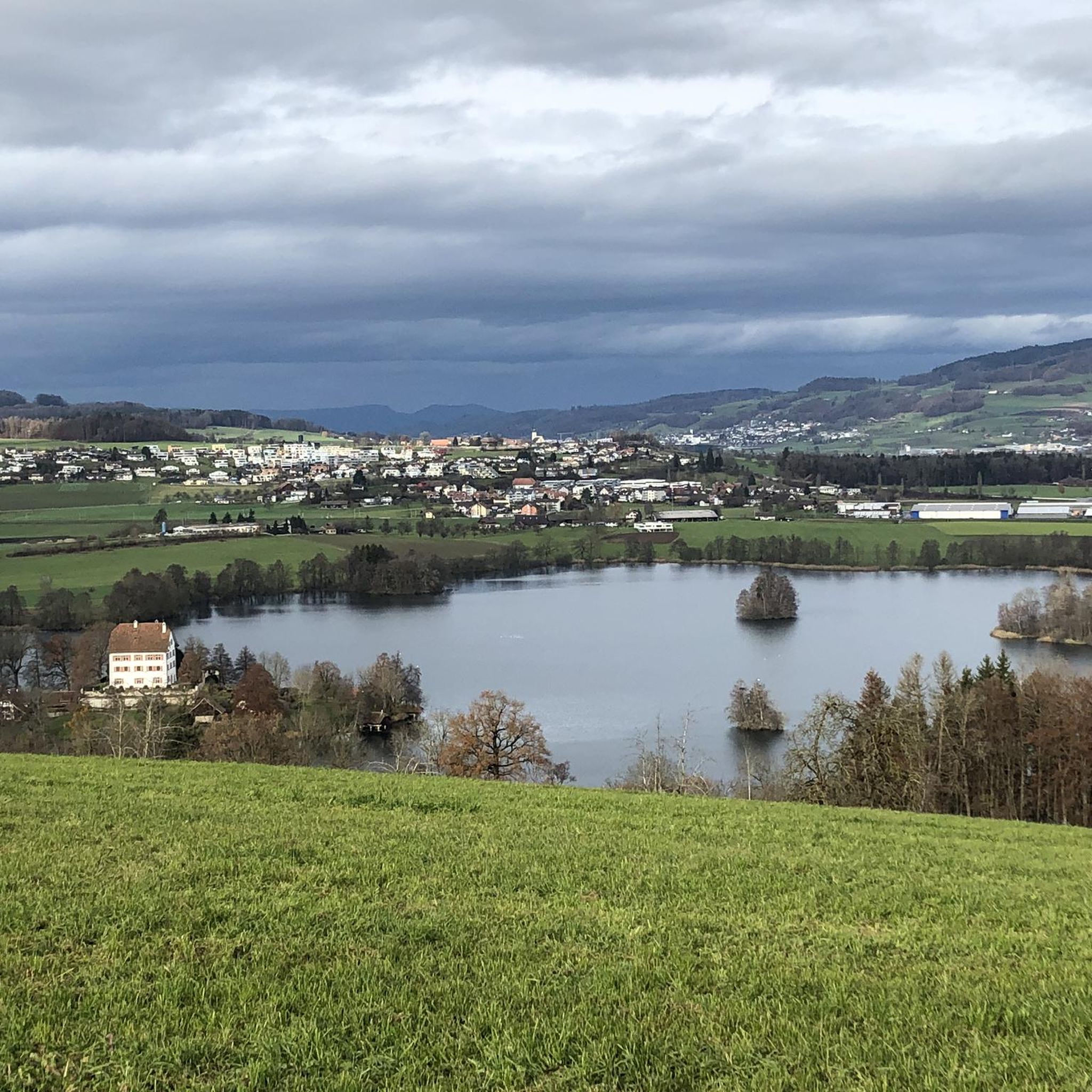
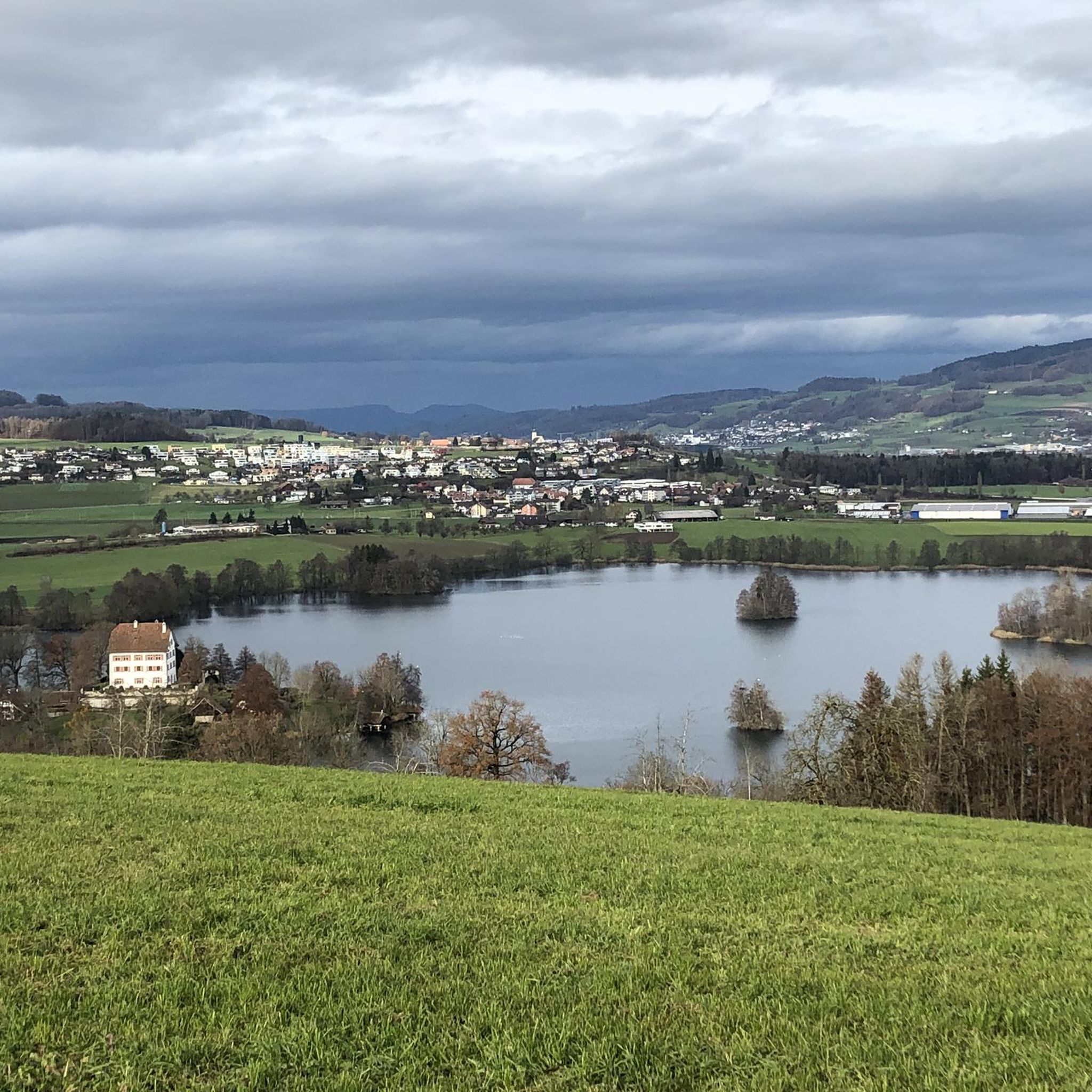
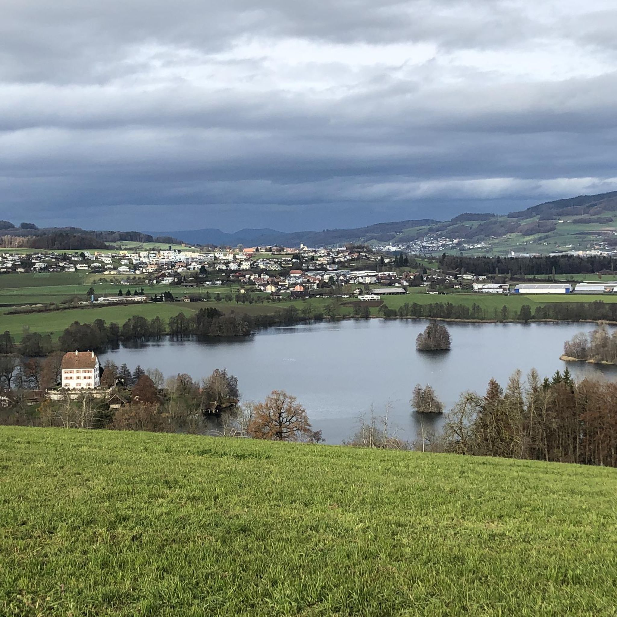
마우엔제 주변 최고의 산봉우리들은 루체른 주에 위치한 호수와 구불구불한 지형으로 특징지어지는 풍경 속에 자리 잡고 있습니다. 마우엔제 자체는 그림 같은 호수와 역사적인 마우엔제 성으로 유명합니다. 이 지역은 자연적 특징과 역사적, 문화적 관심사를 결합하고 있습니다. 마우엔제의 고도는 507미터이지만, 더 넓은 지역은 높은 전망대와 다양한 풍경을 제공합니다.
마우엔제 주변 최고의 산봉우리
- 가장 인기 있는 산봉우리는 슈티렌베르크 정상 (Stierenberg Summit)으로, 아르가우 주의 가장 높은 산입니다. 숲 환경으로 유명하며 중요한 자연 명소 역할을 합니다.
- 또 다른 꼭 봐야 할 명소는 그로스디트빌 근처 산들의…
마지막 업데이트: 8월 23, 2026
슈티어렌베르크 정상
하이라이트 • 정상
The Stierenberg is the highest mountain in the whole of the Canton of Aargau (872 m above sea level).
번역자 Google •
팁에 의해

파알바우지들룽 바우빌
하이라이트 • 역사적 장소
번역자 Google •
팁에 의해

이런 장소를 발견하려면 지금 가입하세요
최고의 싱글 트랙, 봉우리 및 다양한 흥미로운 야외 장소에 대한 추천을 받아보세요.
무료 회원 가입
Grossdietwil 근처 산의 전망
하이라이트 • 전망대
번역자 Google •
팁에 의해

아르가우에서 알프스가 보이는 전망
하이라이트 • 전망대
Watch out for the stairs at the beginning.
If it's wet: better get off!
번역자 Google •
팁에 의해

Blosberg 피크닉 장소와 알프스 및 젬파흐 호수의 파노라마 전망
하이라이트 • 전망대
번역자 Google •
팁에 의해

오늘 무료 계정으로 시작하세요
다음 모험이 기다리고 있어요.
로그인 또는 가입하기
커뮤니티 팁

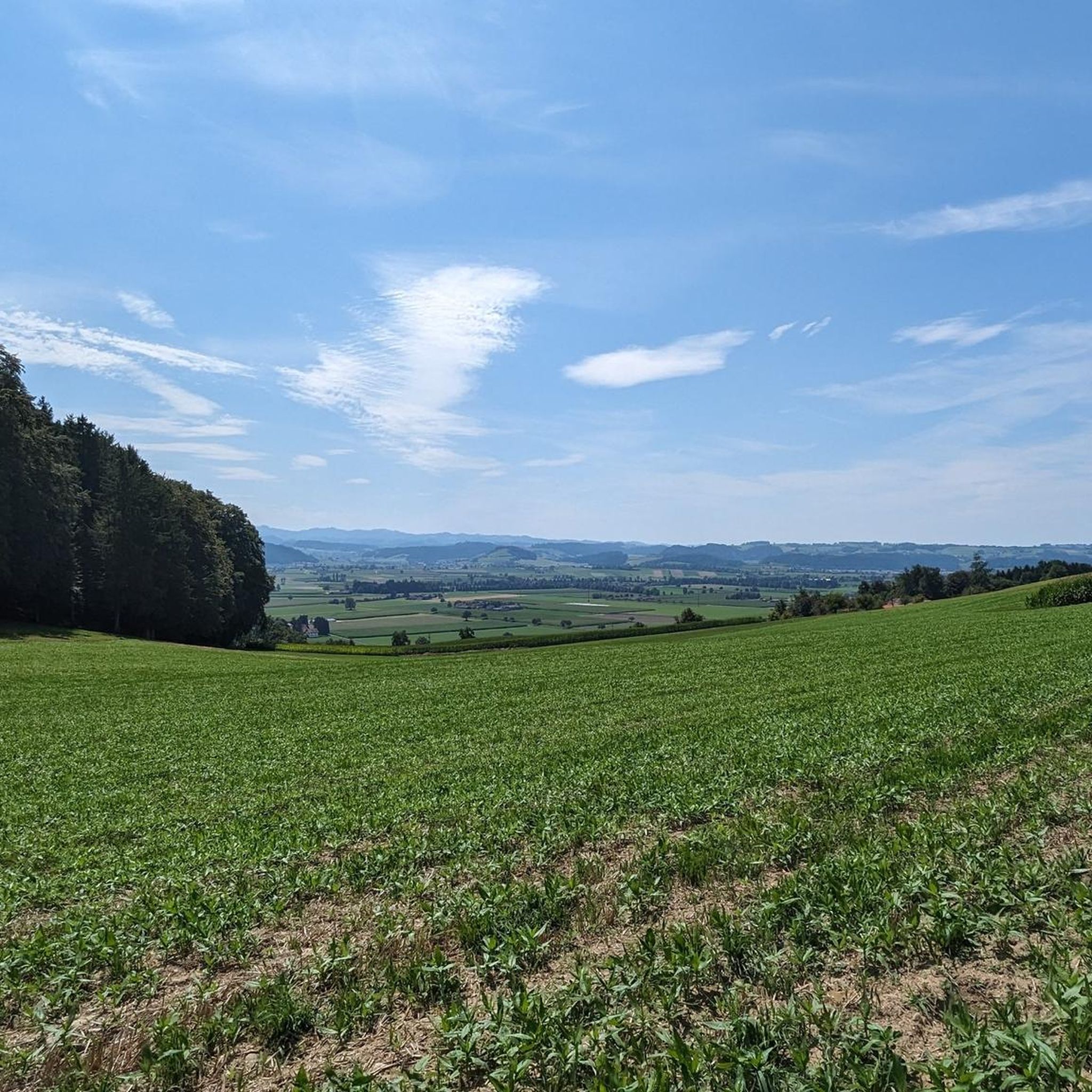
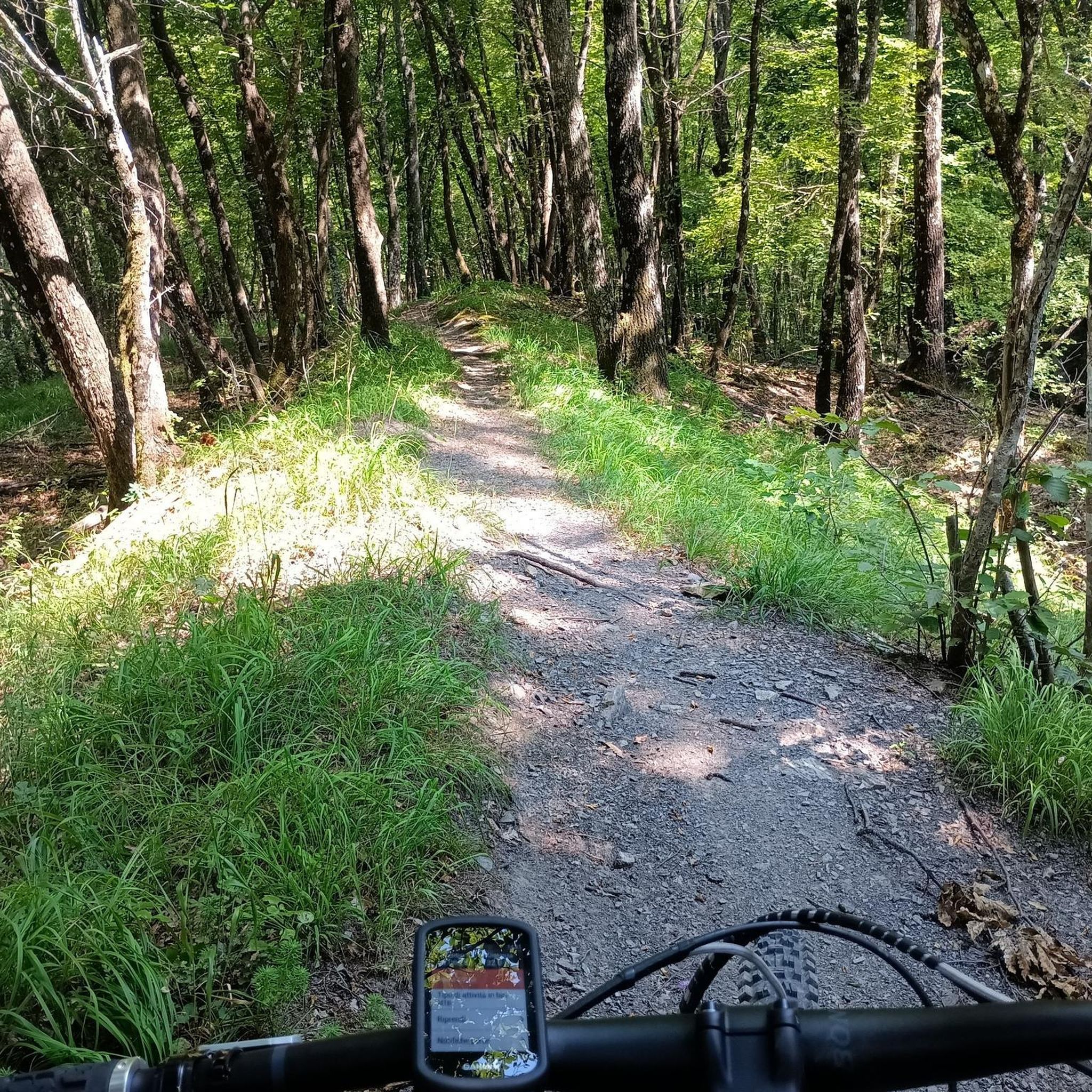
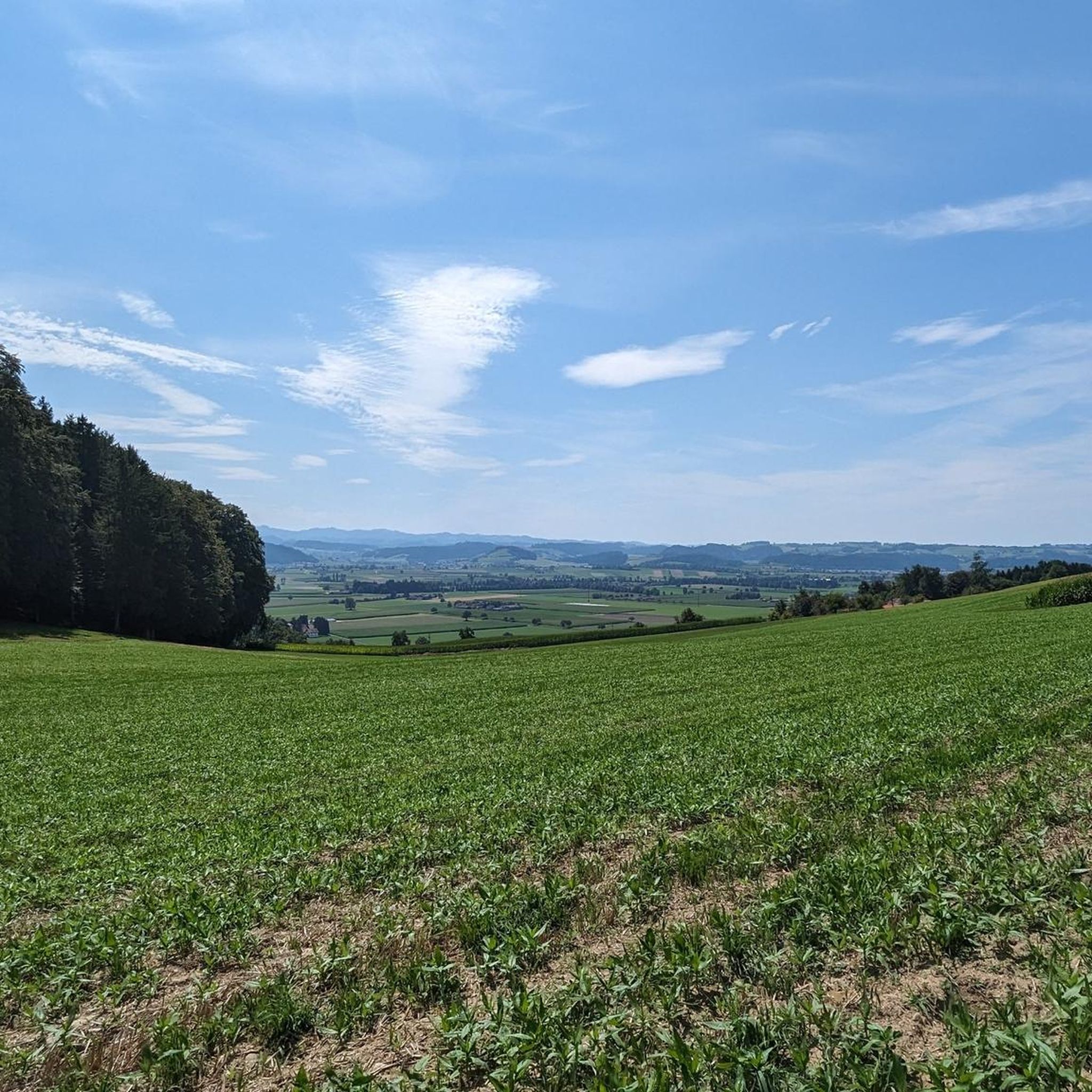
As you mountain bike through Grossdietwil, you’ll have stunning views of the surrounding mountains, with rolling farmland stretching out below. The trails offer a mix of scenic gravel paths and lightly wooded sections, perfect for soaking up the peaceful countryside.
0
0


The climb is worth it. The departure is dev. a highlight!
4
0

Small, replica pile dwelling settlement near Wauwil. There is also a Stone Age educational trail there. The Stone Age excavations at the Wauwilersee, which was drained in the 19th century, are a UNESCO World Heritage Site. It is possible to charge mobile phones using solar power.
0
0

Unfortunately the summit is entirely in the forest and there is no view
3
0

The highest point in the canton of Aargau is the Geissfluhe 908 m above sea level. M. The Stierenberg is the highest mountain in the whole of the Canton of Aargau (872 m above sea level).
4
0

Highest mountain in Canton Aargau, great landscape and fireplace.
3
0

The entrance is a bit hidden, but technically everything is rideable. Watch out for the stairs at the beginning. If it's wet: better get off!
0
0
마우엔제 주변에서 가장 인기 있는 명소


더 살펴보기
이 가이드를 통해 마우엔제 주변의 더 놀라운 정상들을 확인해보세요:
