윔미스에서 가장 멋진 20개의 산 정상
윔미스의 산 정상에 오르면 이 지역의 아름다운 모습을 제대로 구경할 수 있어요. 다만, 20
곳이나 되는 산 정상 중에서 어떤 곳을 가야 할 지 고민된다는 게 문제죠. 윔미스에서 가장 멋진 산 정상을 살펴본 후에 마음에 드는 산 정상을 다음 모험 계획에 추가해보세요.
마지막 업데이트: 10월 11, 2026


이런 장소를 발견하려면 지금 가입하세요
최고의 싱글 트랙, 봉우리 및 다양한 흥미로운 야외 장소에 대한 추천을 받아보세요.
Stockhorn 정상 & 전망대
하이라이트 • 정상
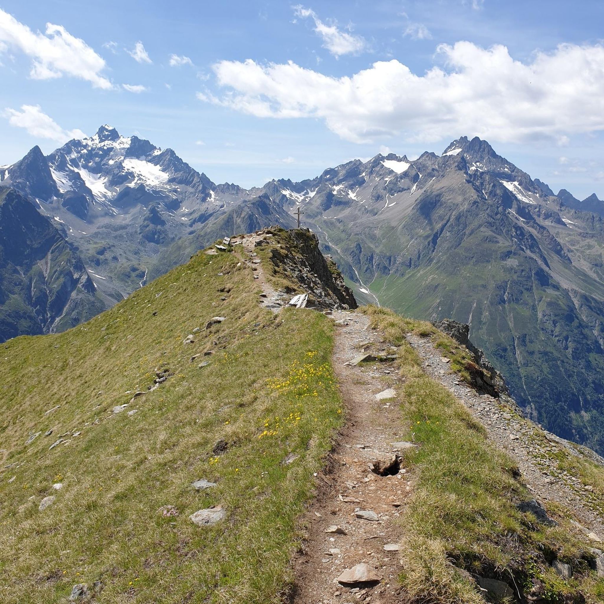
From here you have a magnificent view of the mountains and the lakes (Thun and Brienz)
번역자 Google •
팁에 의해

주니호른 비아 페라타
하이라이트 • 등반
팁에 의해

크린디 중간역 (Stockhornbahn)
하이라이트 • 휴식 공간
번역자 Google •
팁에 의해

무료로 가입하여 윔미스 주변의 더 많은 봉우리를 발견하세요.
이미 komoot 계정이 있나요?
오늘 무료 계정으로 시작하세요
다음 모험이 기다리고 있어요.

커뮤니티 팁

멋진 퇴근길 하이킹입니다. 하지만 야생 동물이나 다른 등산객으로 인한 낙석 가능성을 배제할 수 없으므로 헬멧을 착용하는 것이 좋습니다.
0
0

A short but steep tour with a magnificent finale: Sunset on the Gehrihorn – with views of the Kandertal, Niesen, Blüemlisalp & all the way to the Jura 🌞🏔️ 🥾 Tour information Starting point: Alp Ober Gereren (~1,610 m) – accessible by car via Kiental (good but steep mountain path, CHF 10.-) Ascent: approx. 360 m – Duration: 1–1.15 hours Trail: clearly visible, but steep & alpine (T2) – especially in the upper section (short exposed sections, surefootedness required) 🌅 Why the Sunset is worth it: Spectacular view of the entire Kandertal, the Bernese Alps, Lake Thun &, on a clear day, as far as Mont Blanc Evening atmosphere on the summit = magically tranquil & colorful Good opportunity to descend with a headlamp after sunset; if you descend early, no headlamp Headlamp required (about 45–60 minutes back to the alp).
0
0

Great ascent aid for snowshoe hikes🥰
1
0
🚡 Chrindi middle station - the gateway to adventure on the Stockhorn 🏔️✨ The Chrindi middle station is the perfect starting point for unforgettable experiences around the Stockhorn: 🌊 Hinterstockensee: Can be reached in just a few minutes - ideal for swimming, fishing or simply relaxing by the water. 🥾 Hiking paradise: Start varied hikes here with breathtaking views of the Simmental and the Bernese Alps. 🚠 Onward journey: Take the Stockhorn cable car to the summit station for a 360° panorama.
0
1

starting point for beautiful snowshoe tours
11
2
Timetable: https://www.niederhorn.ch/fahrplan-preise/fahrplan
5
1
Beautiful panorama on the summit
3
1


더 살펴보기
이 가이드를 통해 윔미스 주변의 더 놀라운 정상들을 확인해보세요:
