토르칼 데 안테케라 최고의 그래블 라이딩 코스
27
자전거 타는 사람
7
라이딩
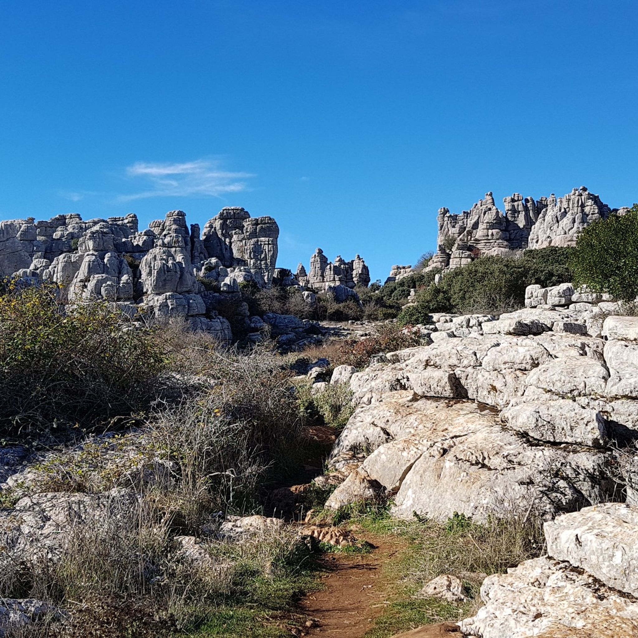
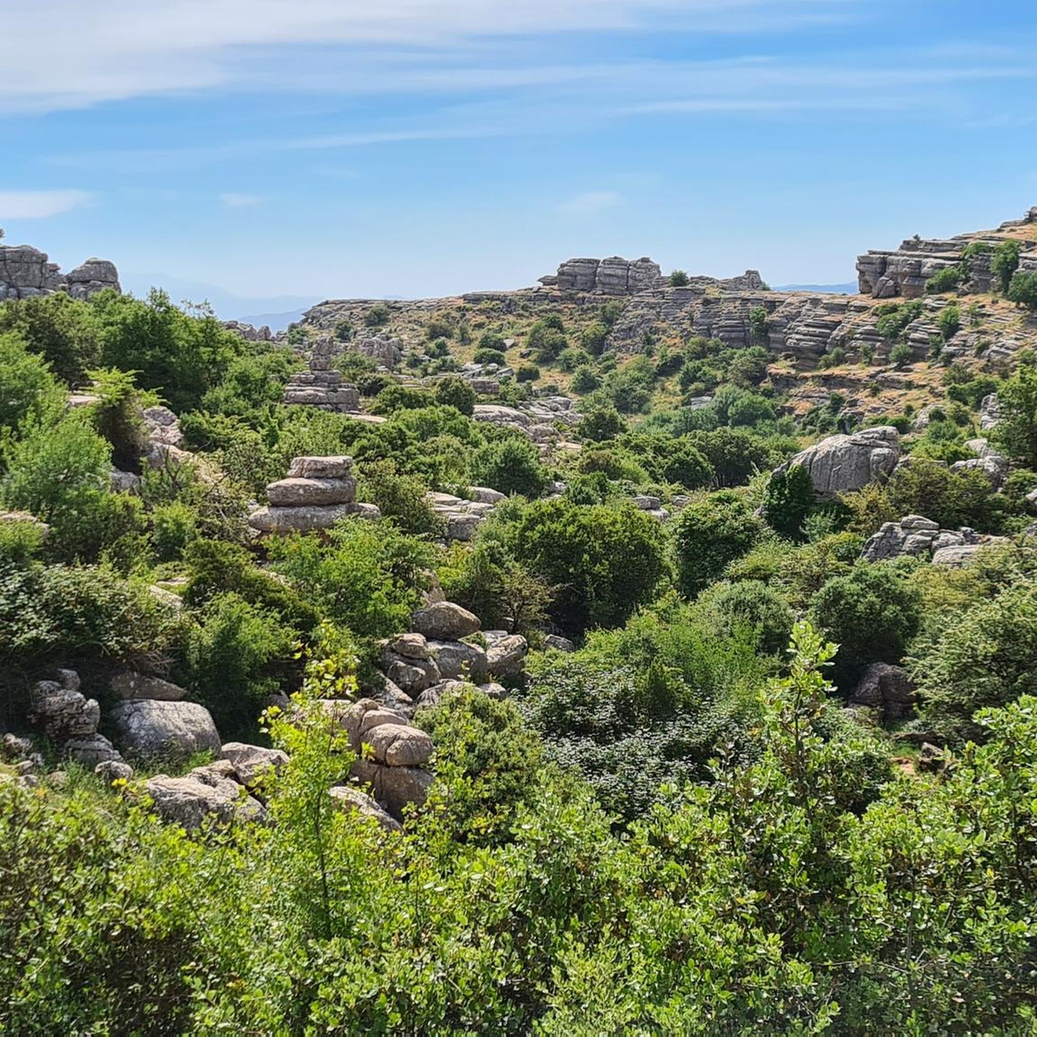
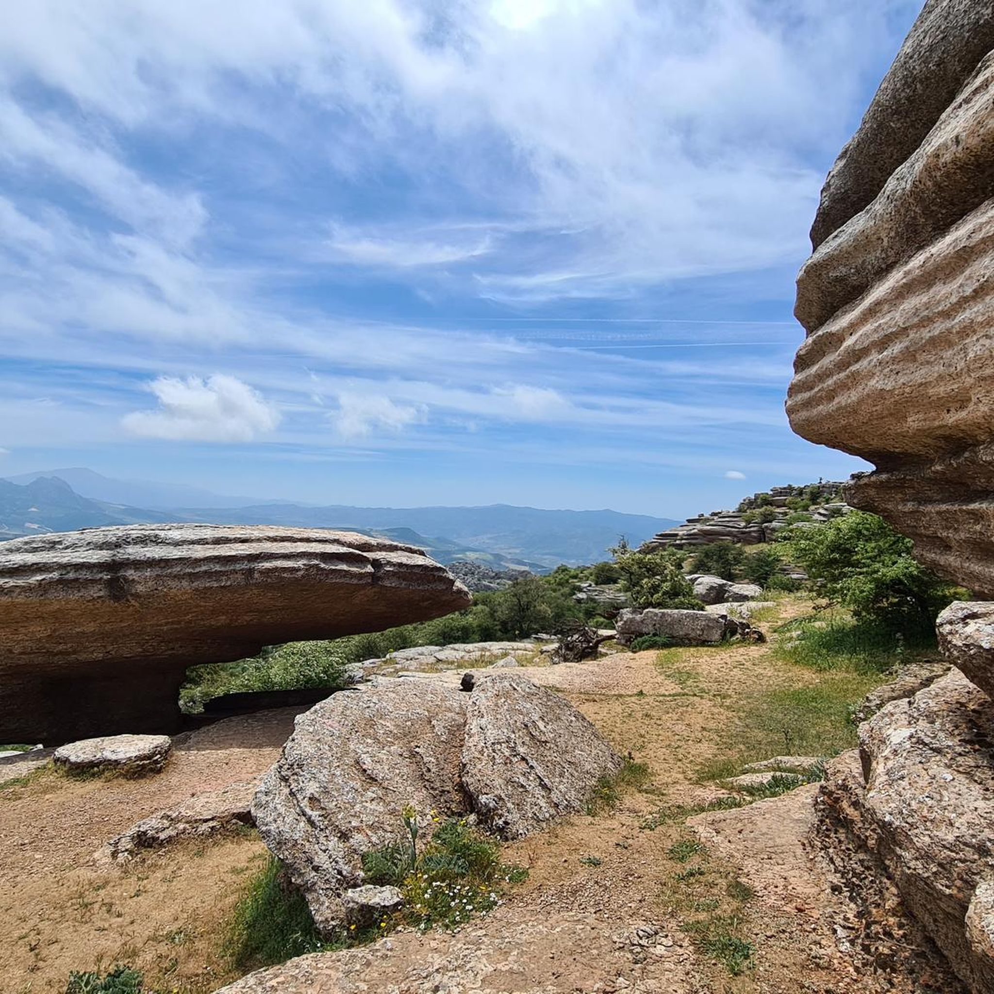
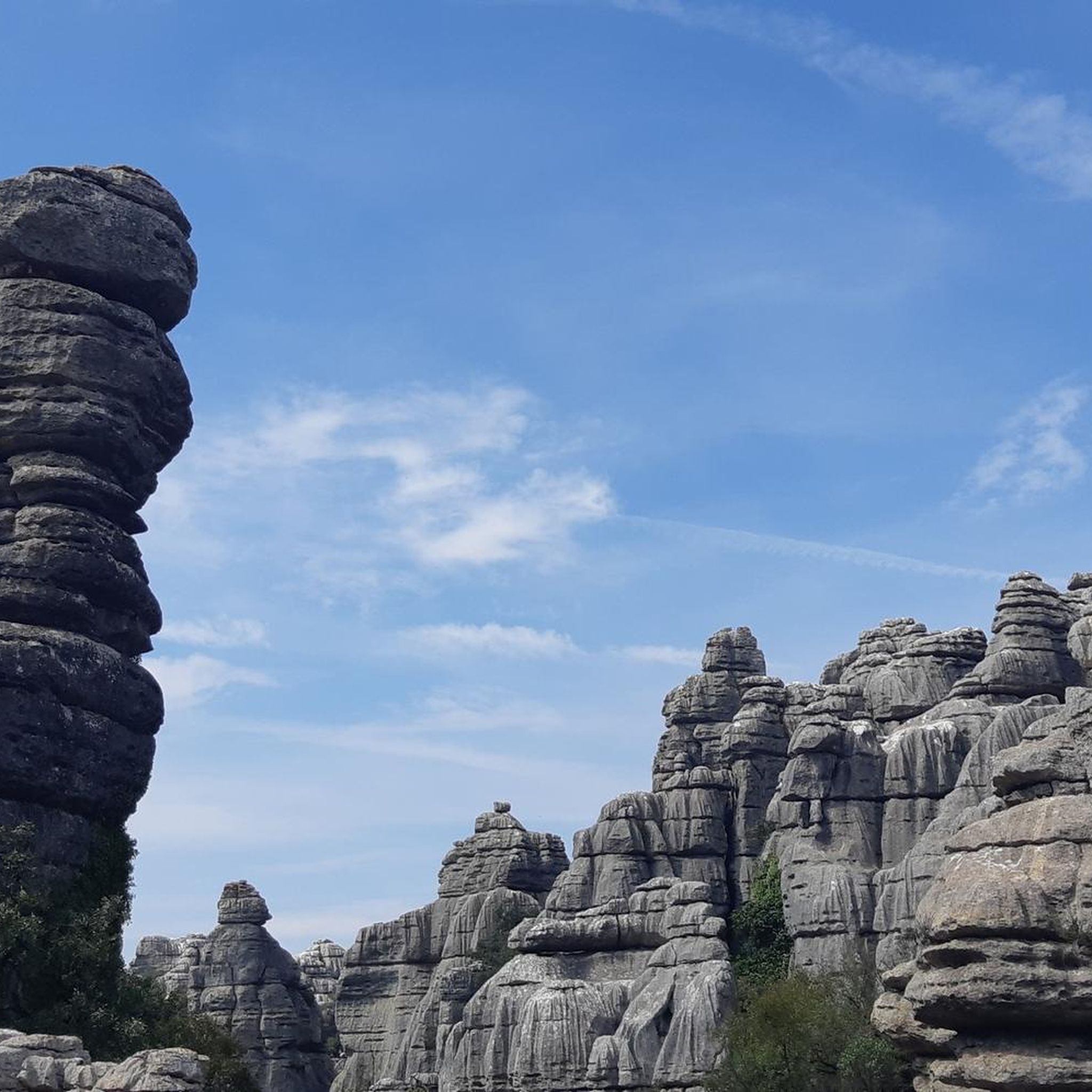
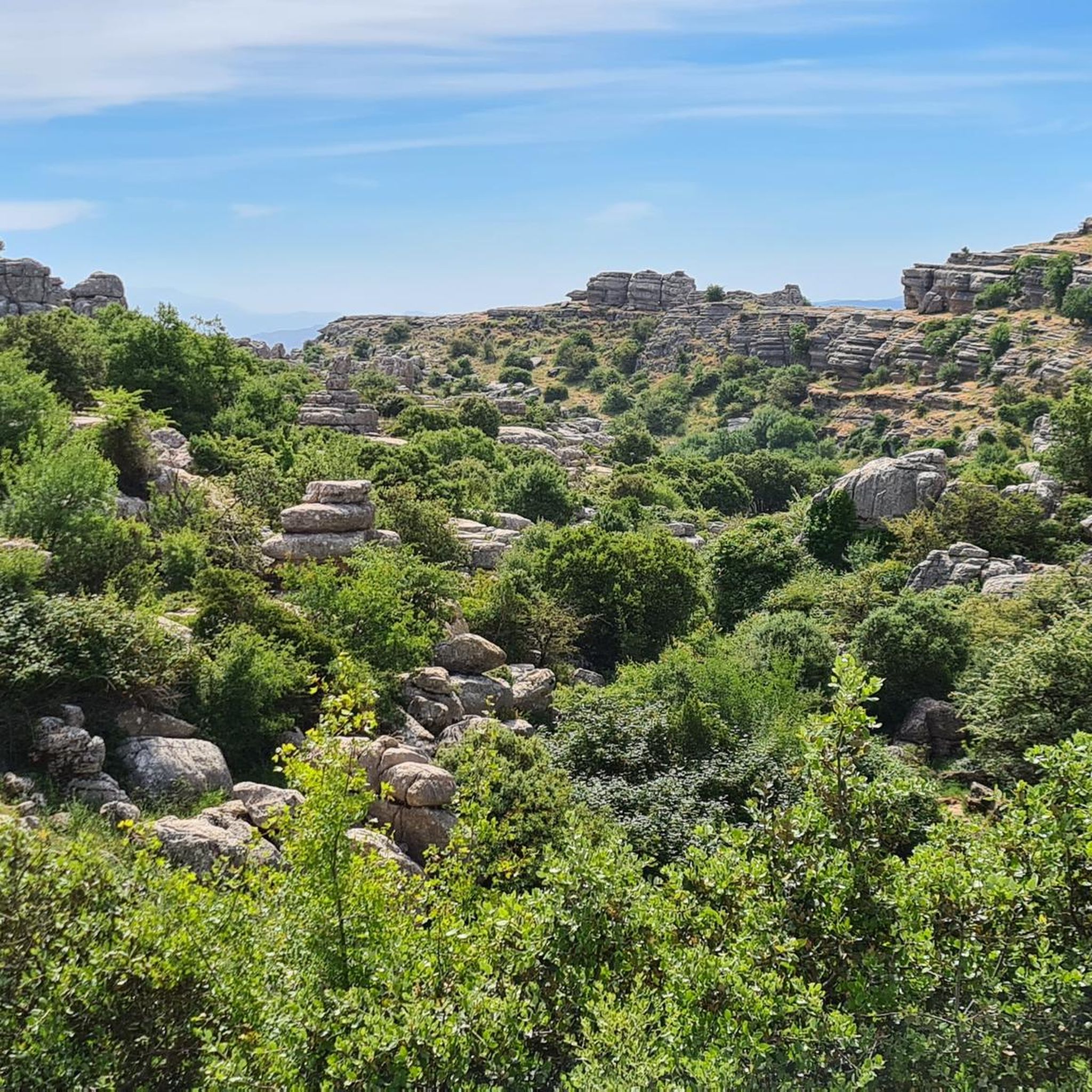
Gravel biking in Torcal De Antequera offers routes through a distinctive karst landscape characterized by ancient limestone formations and rolling hills. The region features mixed-surface sections, combining paved roads with off-road trails, and provides constant climbs and descents. Cyclists can navigate through areas with olive groves and enjoy sweeping views across the Andalusian landscape. The terrain includes both challenging ascents and more leisurely paths suitable for varied skill levels.
Best gravel bike trails in Torcal De Antequera
- The most popular…
마지막 업데이트: 9월 20, 2026
5
자전거 타는 사람
어려운 자갈길 타기. 우수한 체력 필요. 대부분 포장된 지면. 실력과 관계없이 누구나 갈 수 있음.
2
자전거 타는 사람
18.5km
01:44
370m
370m
보통 자갈길 타기. 좋은 체력 필요. 대부분 포장된 지면. 실력과 관계없이 누구나 갈 수 있음.

10
자전거 타는 사람
53.2km
04:15
1,150m
1,150m
어려운 자갈길 타기. 우수한 체력 필요. 대부분 포장된 지면. 실력과 관계없이 누구나 갈 수 있음.
3
자전거 타는 사람
19.6km
01:34
310m
310m
보통 자갈길 타기. 좋은 체력 필요. 대부분 포장된 지면. 실력과 관계없이 누구나 갈 수 있음.
3
자전거 타는 사람
35.3km
02:49
540m
540m
어려운 자갈길 타기. 우수한 체력 필요. 대부분 포장된 지면. 실력과 관계없이 누구나 갈 수 있음.
더 다양한 경로와 다른 탐험가들의 추천을 살펴보세요.
이미 komoot 계정이 있나요?
투어 추천은 다른 사람들이 komoot에서 완료한 수천 개의 활동을 바탕으로 구성되어 있습니다.
오늘 무료 계정으로 시작하세요
다음 모험이 기다리고 있어요.
커뮤니티 팁

The Mirador Niña de Antequera offers excellent views over the eastern part of the old town of Antequera and the surrounding mountains.
0
0

The Mirador offers a sweeping panoramic view of the surrounding hills at the foot of the El Torcal Natural Park. From here, one can see across rolling hills, olive and almond groves, and the expansive valley stretching below the village. In the background, striking rock formations rise, while the village itself is picturesquely nestled into the landscape.
0
0
An impressive Moorish fortress, perched high above Antequera. Built by the Moors between the 11th and 14th centuries, it was further expanded after the Christian reconquest in the 15th century. It served both as a defensive structure and as a symbol of power over the valley.
1
0

Especially in the evening hours, when the setting sun bathes the walls of the Alcazaba in a golden light, one of the most beautiful perspectives of Antequera is offered, reflecting both the history and the scenic location of the city.
1
0
The Alcazaba de Antequera is a 14th-century Moorish fortress in the heart of the Andalusian city of Antequera. Built on the remains of an ancient Roman settlement, it served as a defensive fortification during the Muslim rule, protecting the city and the surrounding valley. After the Christian conquest in 1410 by Infante Ferdinand of Castile, the fortress became a key strategic point in the Kingdom of Castile. The imposing Torre del Homenaje (Tower of Homage) is particularly impressive, one of the largest keeps in Andalusia, offering panoramic views of the city, the Peña de los Enamorados (Peño de los Enamorados rock formation), and the surrounding landscape. A bell tower was later added to the tower, housing a large bell dating from 1582. Within the walls, remnants of residential buildings, cisterns, and fortifications can still be seen. Today, the Alcazaba is open to the public, offering a fascinating glimpse into the history of Antequera and Andalusia through its panoramic views and audio guides.
1
1
The Conjunto Arqueológico Dólmenes de Antequera (Antequera Dolmens Archaeological Site) is one of the most important prehistoric sites in Europe and is located on the outskirts of Antequera in Andalusia, directly on the Carretera de Málaga (Málaga Highway). The site comprises three large megalithic tombs – the Dolmen de Menga, the Dolmen de Viera, and the Tholos de El Romeral – as well as the two natural monuments Peña de los Enamorados and El Torcal de Antequera. Together, they have formed a UNESCO World Heritage Site since 2016, uniquely demonstrating the connection between humankind, architecture, and landscape. The Dolmen de Menga is the largest structure in the site and is among the most impressive megalithic tombs in Europe. It was built between approximately 3800 and 3600 BC and consists of enormous stone blocks assembled to form a long burial chamber. Particularly noteworthy is its alignment with the rock Peña de los Enamorados, suggesting a symbolic or ritual significance. Human remains and grave goods were found inside. Just a few meters away is the Dolmen de Viera, which is somewhat smaller and more classically constructed. It was built between approximately 3500 and 3000 BC and is oriented precisely to the east, so that sunlight falls directly into the burial chamber at the equinox. The third structure, the Tholos de El Romeral, lies about four kilometers away and dates from the Copper Age, around 2500 BC. Its circular shape and corbelled vault distinguish it from the older dolmens and represent a further development of the architectural techniques of that time.
0
0
The route follows a winding, scenic road and is particularly rewarding for experienced cyclists. It leads through the rolling hills on the edge of the El Torcal Natural Park, past olive groves and striking rock formations. The constant climbs and descents require some stamina, but are rewarded with sweeping views across the Andalusian landscape. The route is especially atmospheric in the evening when the sun sets behind the mountains and bathes the surroundings in warm, golden light – a spectacular end to a varied stage.
1
0
자주 묻는 질문
Torcal de Antequera에는 그래블 바이크 코스가 몇 개 있나요?
Torcal de Antequera에는 중급부터 고급까지 다양한 그래블 바이크 코스 7개가 있습니다. 이 코스들은 지역의 독특한 풍경을 통해 다양한 경험을 제공합니다.
Torcal de Antequera의 그래블 바이크 코스에서 어떤 지형을 예상할 수 있나요?
올리브 농장을 통과하는 구불구불한 도로에서부터 혼합 표면 구간 및 오프로드 트레일까지 다양한 지형을 예상할 수 있습니다. 이 지역은 우뚝 솟은 암석 지형을 가진 놀라운 카르스트 지형으로 유명하므로, 코스는 종종 끊임없는 오르막과 내리막을 특징으로 하며 경치 좋은 전망과 도전적인 구간을 모두 제공합니다.
Torcal de Antequera에서 그래블 바이크를 타기에 가장 좋은 시기는 언제인가요?
이 지역은 연중 대부분 그래블 바이크를 타기에 좋은 조건을 제공합니다. 봄과 가을은 일반적으로 사이클링에 가장 쾌적한 온도를 제공합니다. 여름은 매우 더울 수 있으며, 겨울은 더 온화하지만 비가 올 수도 있습니다. 출발하기 전에 항상 현지 날씨 예보를 확인하세요.
숙련된 라이더를 위한 도전적인 그래블 바이크 코스가 있나요?
네, Torcal de Antequera는 몇 가지 도전적인 코스를 제공합니다. 예를 들어, Villanueva de la Concepción 출발의 석양 전망이 있는 구불구불한 도로 – 올리브 농장 전망대 루프는 42km 이상에 거의 930미터의 고도 상승을 포함하며, Antequera Alta Velocidad 출발의 알카사바 데 안테케라 – 안테케라 역사 중심지 루프는 1100미터 이상의 오르막이 있는 어려운 53km 코스입니다. 이 코스들은 좋은 체력과 고급 라이딩 기술을 필요로 합니다.
초보자에게 적합한 쉬운 그래블 바이크 코스가 있나요?
이 지역의 많은 코스가 중급에서 고급이지만, 일부는 덜 힘든 경험을 제공합니다. Antequera Dolmens Site 출발의 안테케라 돌멘 루프는 약 365미터의 고도 상승을 가진 적당한 18.5km 코스로, 더 접근하기 쉬운 라이딩을 찾는 사람들에게 좋은 선택입니다.
Torcal de Antequera에서 그래블 바이크를 타면서 어떤 자연 명소를 볼 수 있나요?
이 지역은 독특한 카르스트 지형으로 유명합니다. 사이클링을 하면서 놀라운 암석 지형과 탁 트인 전망을 볼 수 있습니다. 주목할 만한 자연 명소로는 기괴하게 풍화된 석회암 조각을 특징으로 하는 Torcal de Antequera와 El Torcal의 대성당이 있습니다. 코스는 종종 El Torcal de Antequera 자연 공원 가장자리를 지납니다.
자갈길 자전거로 접근 가능한 역사 유적지가 있나요?
네, 안테케라 지역 전반에 걸쳐 자연의 아름다움과 문화 탐험을 결합할 수 있습니다. 안테케라 돌멘 유적지에서 출발하는 안테케라 돌멘 루프와 같은 경로는 유네스코 세계 문화유산인 안테케라 돌멘 유적지 주변을 탐험할 수 있게 해줍니다. 또 다른 경로인 안테케라 알카사바 – 안테케라 고속철도역에서 출발하는 안테케라 역사 중심지 루프는 역사 중심지와 안테케라 알카사바를 지나갑니다.
이 지역에 순환형 자갈길 자전거 코스가 있나요?
토르칼 데 안테케라의 많은 자갈길 자전거 코스는 루프로 설계되어 있어 출발점과 도착점이 같습니다. 예를 들어 일몰 전망이 있는 구불구불한 길 – 올리브 농장 전망대 루프와 안테케라 돌멘 루프는 편리한 라이딩 옵션을 제공합니다.
자갈길 트레일 근처에 주차장이 있나요?
주차는 일반적으로 안테케라와 비야누에바 데 라 콘셉시온과 같이 이러한 코스의 출발점으로 사용되는 마을과 도시에서 가능합니다. 특정 주차 정보는 개별 코스 페이지나 지역 관광 웹사이트에서 자주 찾을 수 있습니다.
토르칼 데 안테케라에서 자갈길 자전거를 타려면 특별 허가가 필요한가요?
일반적으로 토르칼 데 안테케라 주변 지역의 확립된 코스에서 자갈길 자전거를 타는 데 특별한 허가는 필요하지 않습니다. 그러나 자연 공원 자체에는 특정 규정이 있으며, 특정 보호 구역에서는 자전거 타기가 제한될 수 있습니다. 항상 현지 표지판과 규정을 존중하십시오.
자전거를 타면서 어떤 야생 동물을 만날 수 있나요?
토르칼 데 안테케라는 조류 보호 구역(ZEPA)이므로, 하늘을 나는 그리폰 독수리와 독수리를 볼 수 있습니다. 이 지역은 또한 스페인 산양과 여우와 같은 포유류의 서식지이지만, 종종 더 찾기 어렵습니다. 특히 코스의 조용한 구간에서 주의 깊게 살펴보세요.
트레일 근처에서 식음료나 숙박 시설은 어디에서 찾을 수 있나요?
근처 도시인 안테케라에는 다양한 카페, 레스토랑, 숙박 시설이 있습니다. 일부 코스의 출발점으로 사용되는 비야누에바 데 라 콘셉시온과 같은 작은 마을에도 식음료를 찾을 수 있는 지역 상점이 있습니다.
토르칼 데 안테케라에서 가장 인기 있는 명소


더 살펴보기
다른 지역의 최고의 그래블 라이딩를 살펴보세요.
