발오페르슈 주변 최고의 그래블 라이딩 코스
3.6
(7)
46
자전거 타는 사람
5
라이딩
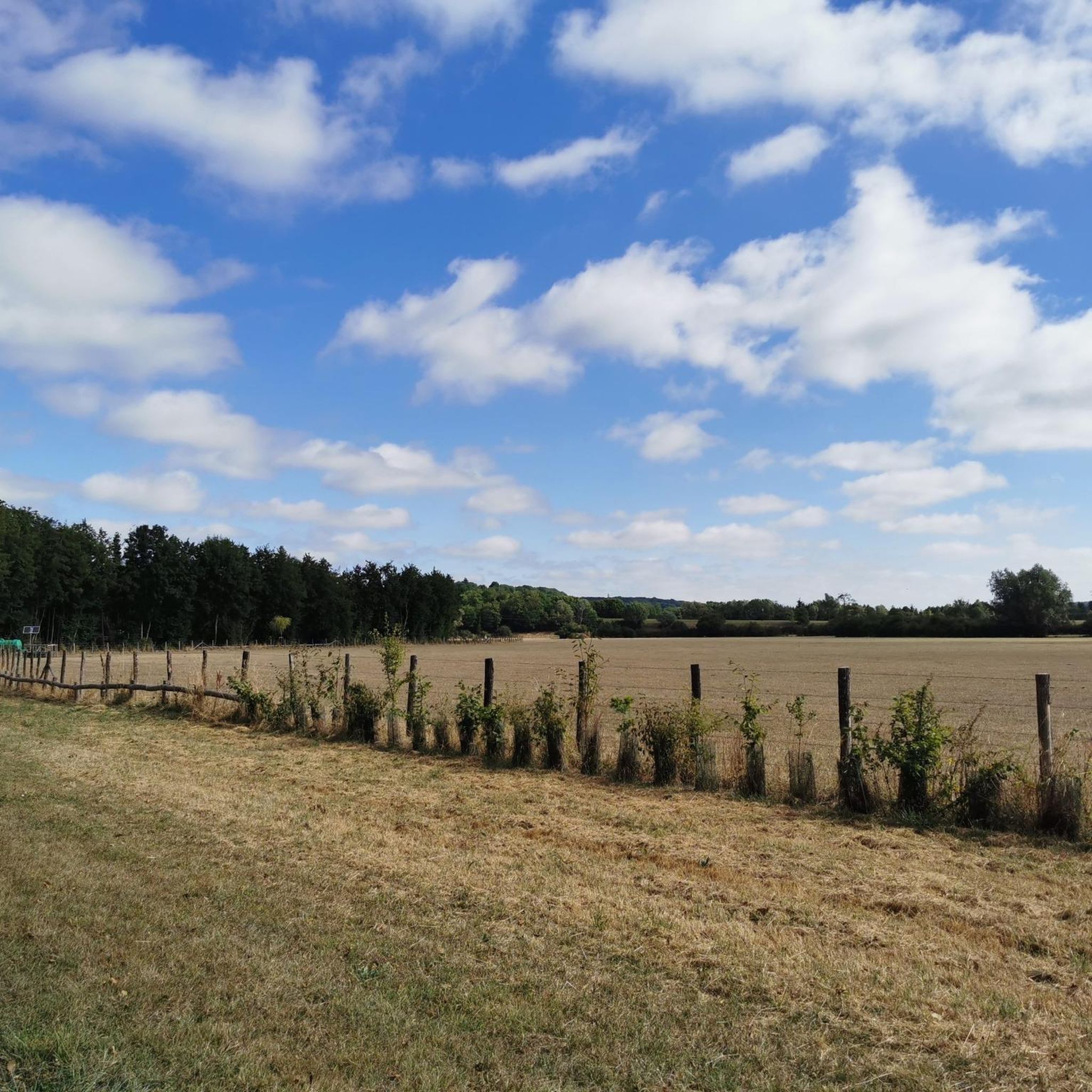
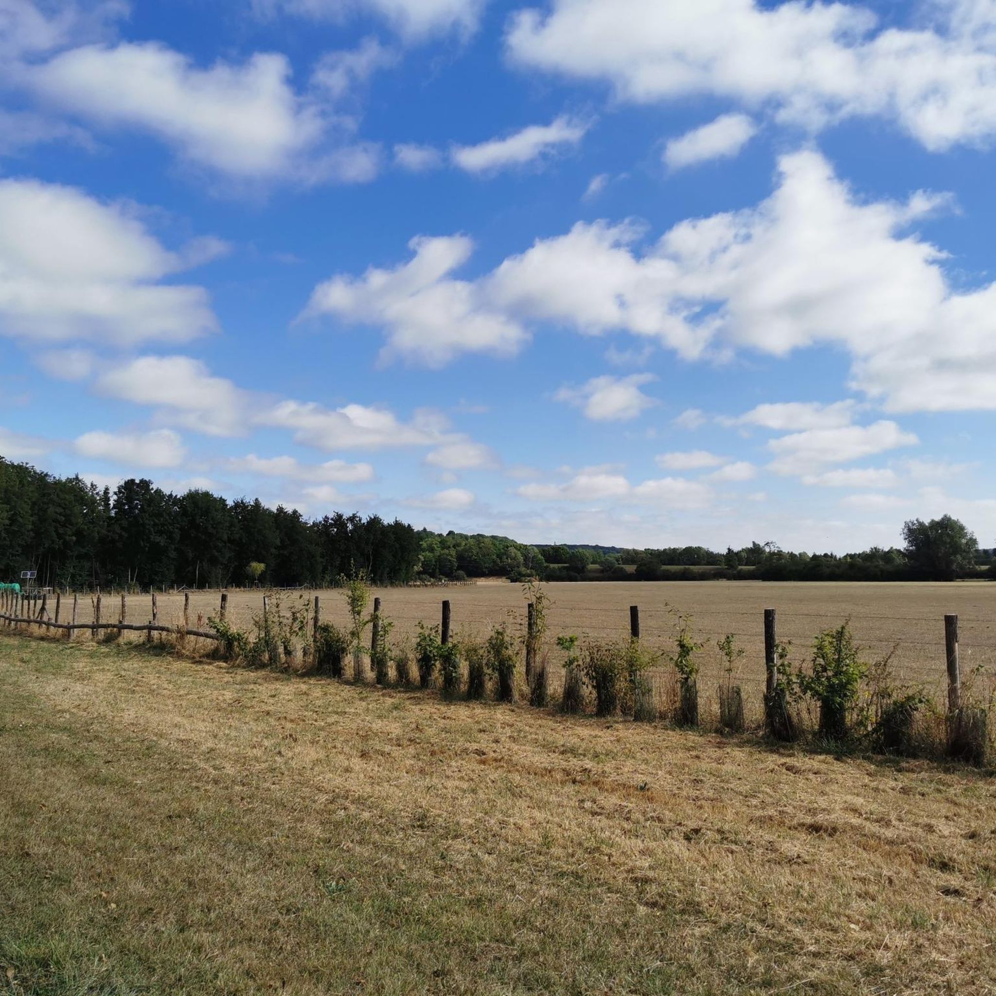
그래블 바이크를 타고 Val-Au-Perche 주변을 달리면 Perche 지역 자연공원 내의 다양한 풍경을 즐길 수 있습니다. 이 지역은 구불구불한 언덕 지형과 그래블 바이크에 적합한 넓은 비포장도로, 작고 구불구불한 시골길을 특징으로 합니다. 라이더들은 고요한 숲과 전통적인 울타리 농지를 탐험할 수 있으며, 경로는 종종 Huisne 강 계곡과 연결됩니다. 지형은 다양한 작물과 움푹 들어간 길로 이루어져 있어 사이클링에 다양한 노면을 제공합니다.
Val-Au-Perche 주변 최고의 그래블 바이크 코스
- 가장 인기 있는 그래블 바이크 코스는 Dorceau의 Voie verte – Saint-Pierre-la-Bruyère에서 출발하는 Huisne 루프로, 18.6마일(30.0km) 길이이며…
마지막 업데이트: 9월 16, 2026
4.8
(5)
36
자전거 타는 사람
30.6km
01:48
270m
270m
보통 자갈길 타기. 좋은 체력 필요. 대부분 포장된 지면. 실력과 관계없이 누구나 갈 수 있음.
1
자전거 타는 사람
27.4km
02:11
360m
360m
보통 자갈길 타기. 좋은 체력 필요. 대부분 포장된 지면. 실력과 관계없이 누구나 갈 수 있음.

2
자전거 타는 사람
30.2km
02:16
170m
170m
보통 자갈길 타기. 좋은 체력 필요. 대부분 포장된 지면. 실력과 관계없이 누구나 갈 수 있음.
3.0
(1)
1
자전거 타는 사람
17.5km
01:23
280m
280m
보통 자갈길 타기. 좋은 체력 필요. 대부분 포장된 지면. 실력과 관계없이 누구나 갈 수 있음.
2
자전거 타는 사람
8.81km
00:31
50m
50m
초급용 그래블 라이딩. 모든 체력 수준에 적합. 대부분 포장된 지면. 실력과 관계없이 누구나 갈 수 있음.
투어 추천은 다른 사람들이 komoot에서 완료한 수천 개의 활동을 바탕으로 구성되어 있습니다.
오늘 무료 계정으로 시작하세요
다음 모험이 기다리고 있어요.


커뮤니티 팁

자세한 정보는 위키백과에서 찾을 수 있습니다: https://fr.wikipedia.org/wiki/Porte_Saint-Julien_(La_Fert%C3%A9-Bernard)
0
0


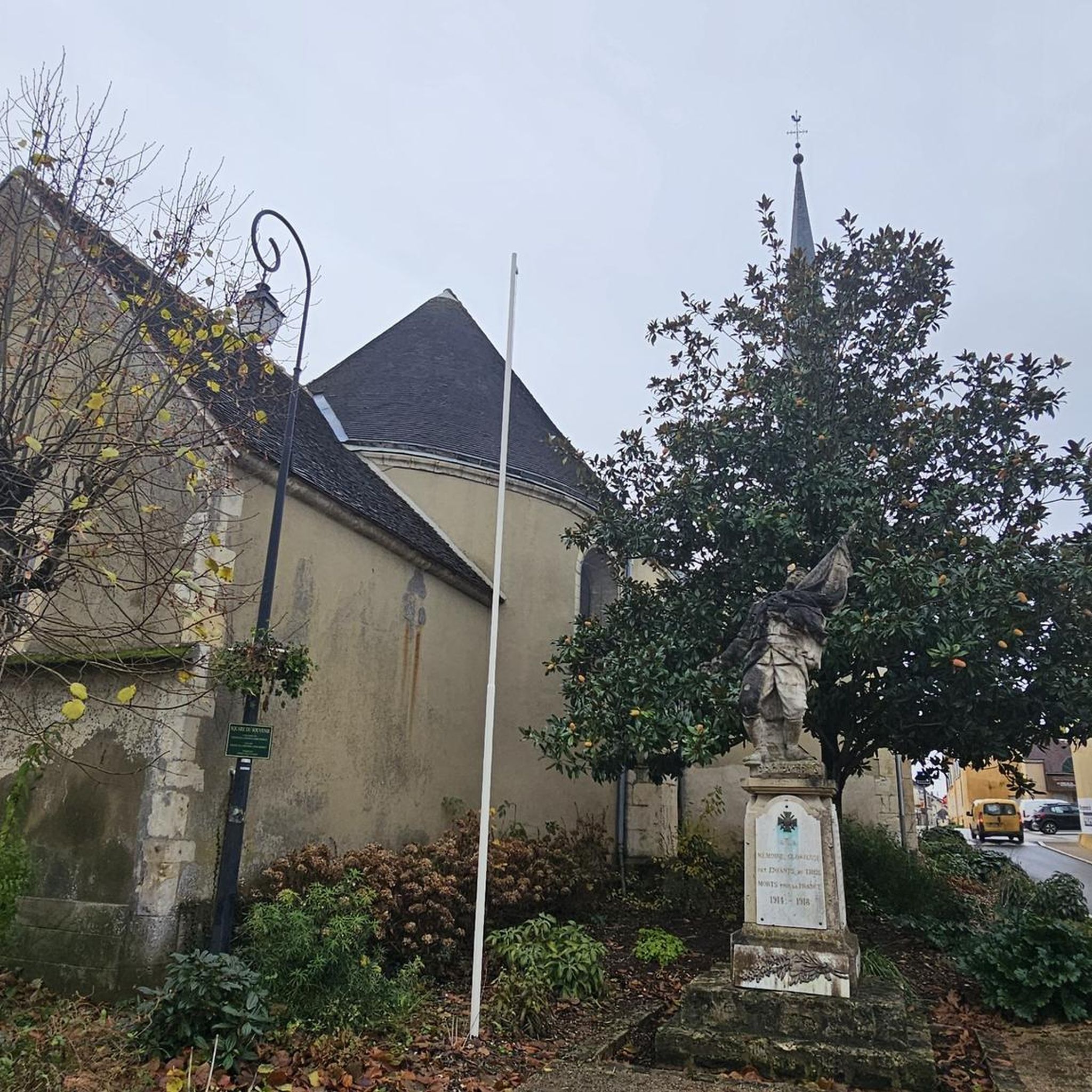
The inhabitants of Margon can admire the church of Notre-Dame du Mont-Carmel, proudly dominating the old town on its rocky spur, at the corner of two green valleys. It was later given an aisle during the 16th century, but its Romanesque portal has been preserved. It reigns benevolently over the old cemetery which surrounds it and which has recently been enlarged due to the increase in the population of the commune.
0
0

Church built in the 12th and 16th centuries. Listed apse from the 12th century. 4-storey bell tower. Corner buttress bell with staircase turret. Renaissance portal. Large Gothic window above the portal. 16th century roof and nave. Stone statue of a bishop, 16th century paintings.
0
0
The nave is covered with a wooden vault with exposed beams. The archivolts of the Romanesque door are decorated with saw teeth. The west gable wall is topped with a slender bell tower. The interior contains three classical altars whose designs were apparently made by Mansard at the request of Louvois, owner of the Prairie de Marcilly.
0
0

Always straight ahead. Slightly downhill, through the shady forest.
1
0
The Huisne is a river in central France, flowing in the regions of Normandy, Centre-Val de Loire and Pays de la Loire. It rises in the municipality of La Perrière, in the Perche Regional Nature Park, initially drains to the northeast, later to the southeast, finally turns to the southwest near Condé-sur-Huisne and, after around 165[2] kilometres, flows into the Sarthe in Le Mans as a left tributary.
3
0
발오페르슈 주변에서 가장 인기 있는 명소


더 살펴보기
다른 지역의 최고의 그래블 라이딩를 살펴보세요.
