큐스텐딜 지역 최고의 워킹 & 하이킹 경로
4.7
(678)
4,502
등산객
72
하이킹
큐스텐딜 지역에서 하이킹하며 불가리아 구석 부분까지 살펴볼까요? 큐스텐딜 지역에 있는 모든 하이킹 및 워킹 경로 컬렉션 중 가장 멋진 하이킹 경로를 엄선하여 소개해드릴게요. 다른 하이커가 공유한 실제 팁과 사진을 살펴보고 후기를 읽으며 마음에 드는 큐스텐딜 지역 워킹 경로를 찾아보세요.
마지막 업데이트: 10월 4, 2026
4.9
(111)
611
등산객
18.3km
07:43
1,100m
1,100m
어려운 하이킹. 우수한 체력 필요. 튼튼한 신발을 신고 미끄러지지 않게 조심해야 하며, 높은 산을 오른 경험이 있어야 함.
4.8
(61)
194
등산객
9.94km
04:04
550m
550m
어려운 하이킹. 좋은 체력 필요. 튼튼한 신발을 신고 미끄러지지 않게 조심해야 하며, 높은 산을 오른 경험이 있어야 함.

4.5
(18)
230
등산객
3.60km
01:08
140m
140m
초급용 하이킹. 모든 체력 수준에 적합. 실력과 관계없이 누구나 쉽게 갈 수 있는 길.
4.5
(21)
56
등산객
8.67km
03:38
500m
510m
어려운 하이킹. 좋은 체력 필요. 튼튼한 신발을 신고 미끄러지지 않게 조심해야 하며, 높은 산을 오른 경험이 있어야 함.
4.6
(20)
219
등산객
3.15km
01:03
150m
150m
초급용 하이킹. 모든 체력 수준에 적합. 실력과 관계없이 누구나 쉽게 갈 수 있는 길.
5.0
(22)
175
등산객
7.42km
03:22
440m
440m
보통 하이킹. 좋은 체력 필요. 대부분 갈 수 있는 길. 미끄러지지 않게 조심해야 함.
4.9
(10)
37
등산객
12.7km
03:48
390m
400m
보통 하이킹. 좋은 체력 필요. 실력과 관계없이 누구나 쉽게 갈 수 있는 길.
4.0
(8)
56
등산객
5.30km
01:50
290m
290m
초급용 하이킹. 모든 체력 수준에 적합. 실력과 관계없이 누구나 쉽게 갈 수 있는 길.
4.8
(12)
55
등산객
10.2km
03:21
470m
470m
보통 하이킹. 좋은 체력 필요. 실력과 관계없이 누구나 쉽게 갈 수 있는 길.
3.0
(2)
62
등산객
10.0km
04:11
720m
720m
보통 하이킹. 좋은 체력 필요. 대부분 갈 수 있는 길. 미끄러지지 않게 조심해야 함.
더 다양한 경로와 다른 탐험가들의 추천을 살펴보세요.
이미 komoot 계정이 있나요?
투어 추천은 다른 사람들이 komoot에서 완료한 수천 개의 활동을 바탕으로 구성되어 있습니다.
오늘 무료 계정으로 시작하세요
다음 모험이 기다리고 있어요.

커뮤니티 팁

⚠️ 경고: Komoot 경로 오류! Komoot에서 보여주는 경로는 잘못되었습니다. 이 지점에서 The Kidney Lake (Bubreka)로 돌아가서 상단 경로 또는 호수를 따라가는 경로 중 하나를 따라 Seven Rila Lakes Hut 쪽으로 계속 진행해야 합니다. 여기에 표시된 순환 경로는 공식 하이킹 경로로 존재하지 않습니다. 경로 표시가 없고 지형이 매우 어려우며 이 보호 구역에서 지정된 경로 외부를 자유롭게 걷는 것은 허용되지 않습니다. GPS 내비게이션에만 의존하지 말고 표시된 하이킹 경로를 따르십시오.
0
0

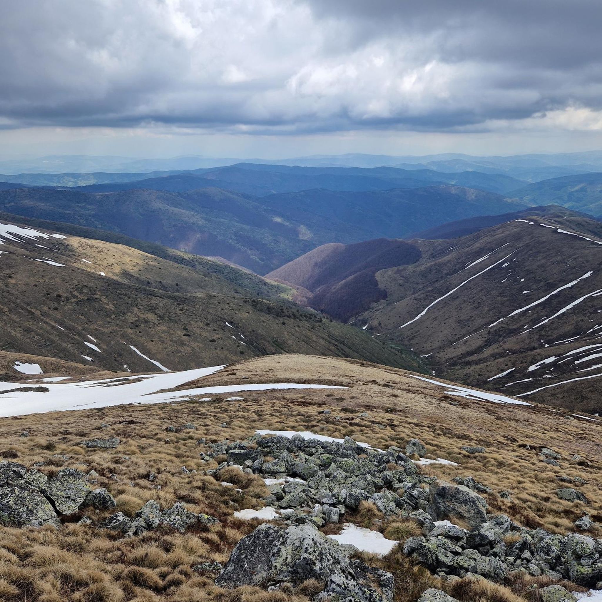
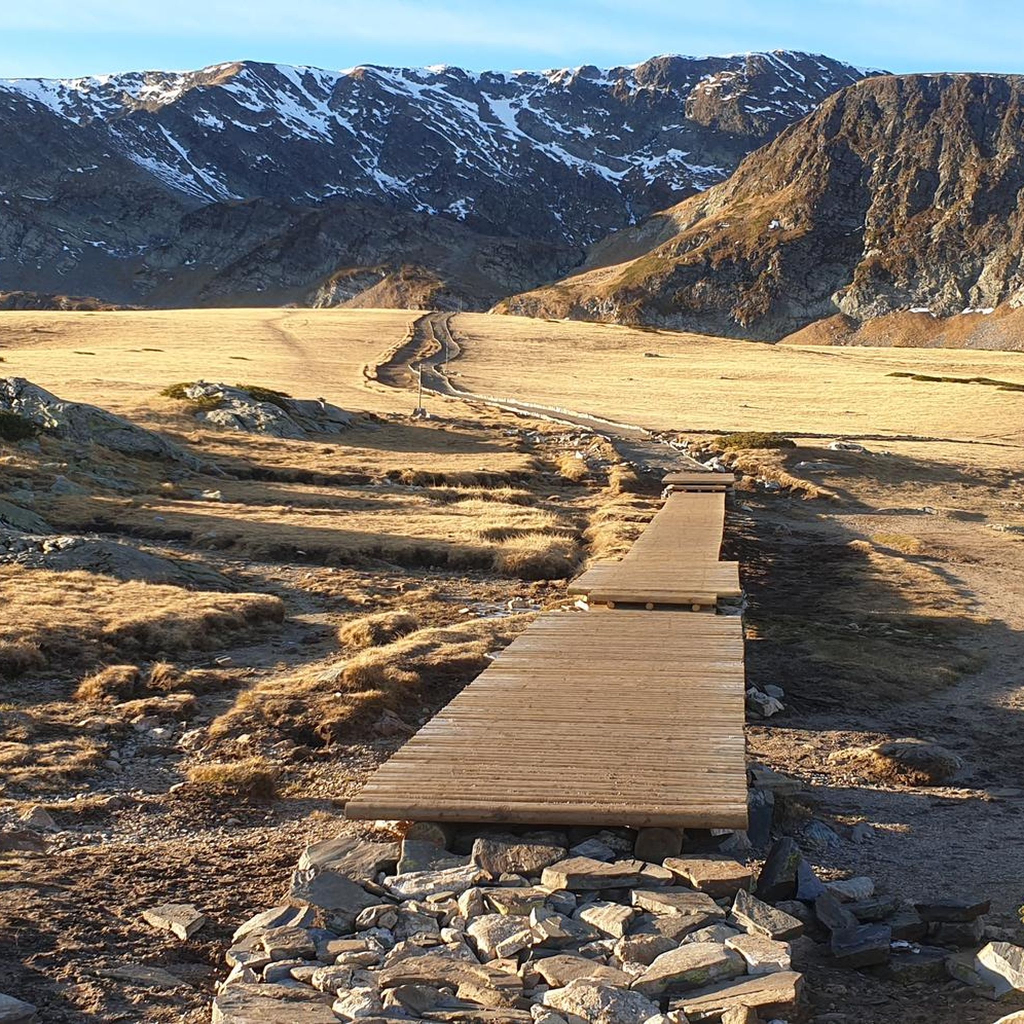
This is a great drone or zoom-lens spot—clear skies give you deep visibility across Bulgaria.
0
0
If you’re well-conditioned, consider extending your route up to Otovitsa Ridge for incredible views.
0
0
This is a perfect moment for a 360° photo or a panoramic shot—clear skies reveal the full layout of the terrain.
0
0
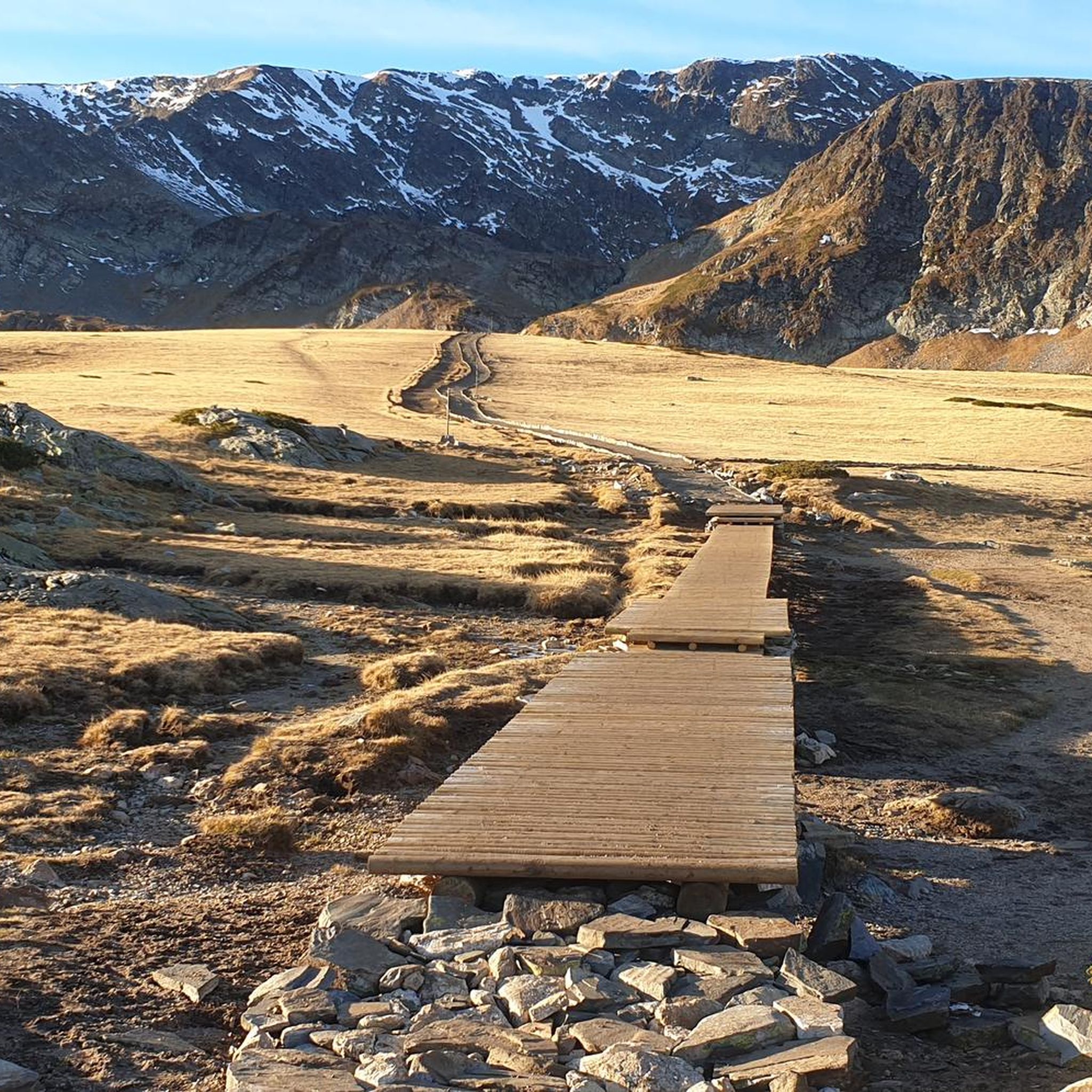
Take the high route above the lakes for the best panoramic shots—especially in the morning light.
0
0


Lower Lake is the lowest of the Seven Rila Lakes. It is located at an altitude of 2095 m. Its area is 5.9 ha and its depth is 11 m. There are a lot of fish in the lake, that is why it is called the "Fish lake", but still fishing is forbidden. It collects the water that flows from the other lakes. The lake has a steep sill and is closed from the north by a seawall. It collects the water that flows from the other lakes. The lower lake gives rise to the Jerman River.
0
0
Lake Bliznaka is the largest in area of the Seven Rila Lakes. It is located 1940 m north of Vazov Peak and is 2243 m above sea level. The catchment area is 2.10 square kilometres. The water surface area is 168.6 acres. The water volume of the lake is 590 thousand m3 and the maximum depth is 27.5 metres. In the recent past the lake was called Chifte Göl. The name "Bliznaka" comes from the fact that in times of drought the lake splits into two small ponds. From this it takes the shape of an hourglass.
0
0
큐스텐딜 지역에서 가장 인기 있는 명소


찾고 계신 것을 찾지 못하셨나요?
큐스텐딜 지역에서 더 많은 하이킹를 확인하고 목적지에서 완벽한 경로를 찾아보세요.
더 살펴보기
다른 지역의 최고의 하이킹를 살펴보세요.
