월미르슈테트에서 가장 멋진 3개의 산 정상
월미르슈테트의 산 정상에 오르면 이 지역의 아름다운 모습을 제대로 구경할 수 있어요. 다만, 3
곳이나 되는 산 정상 중에서 어떤 곳을 가야 할 지 고민된다는 게 문제죠. 월미르슈테트에서 가장 멋진 산 정상을 살펴본 후에 마음에 드는 산 정상을 다음 모험 계획에 추가해보세요.
마지막 업데이트: 8월 22, 2026
Drömseberg
하이라이트 • 정상
번역자 Google •
팁에 의해

니더도데레벤 방향 전망
하이라이트 • 전망대
It is located west of Magdeburg half way between Irxleben and Niederndodeleben and belongs to the …
번역자 Google •
팁에 의해
이런 장소를 발견하려면 지금 가입하세요
최고의 싱글 트랙, 봉우리 및 다양한 흥미로운 야외 장소에 대한 추천을 받아보세요.
무료 회원 가입
테우펠스베르크 전망
하이라이트 • 전망대
번역자 Google •
팁에 의해
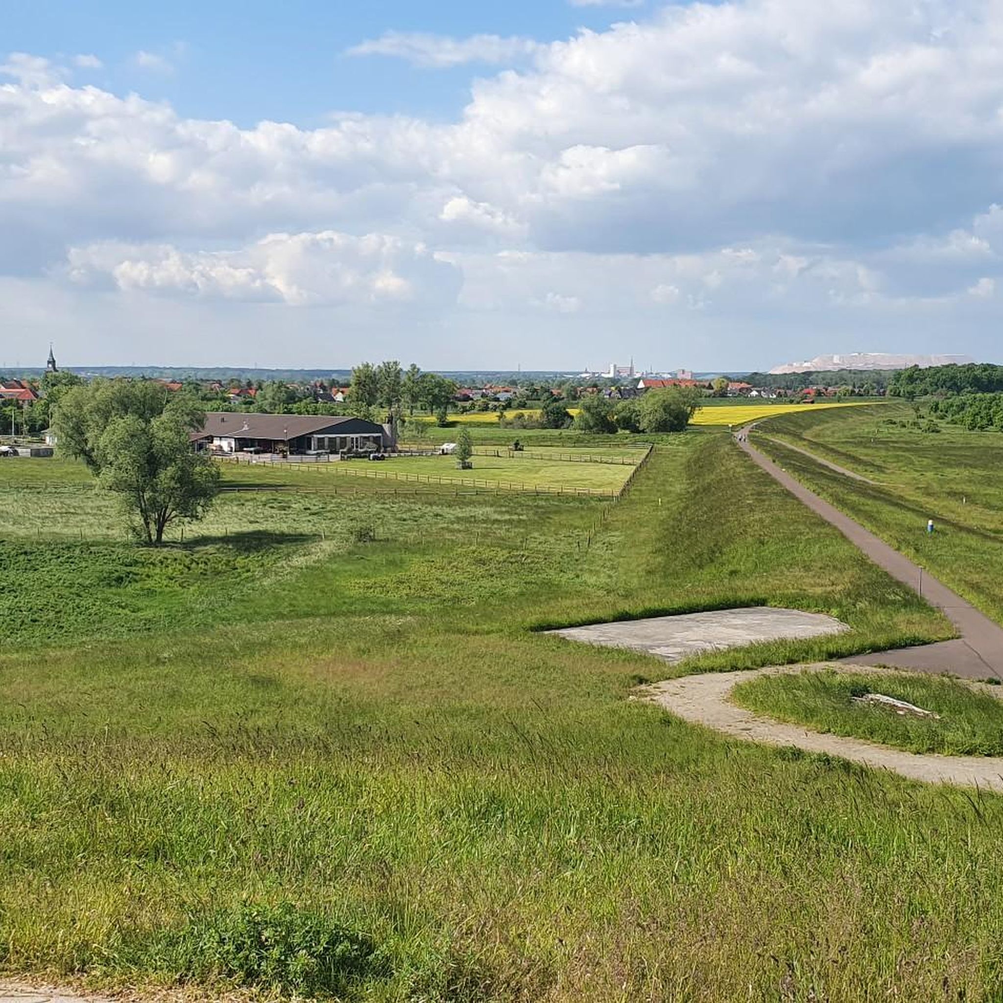
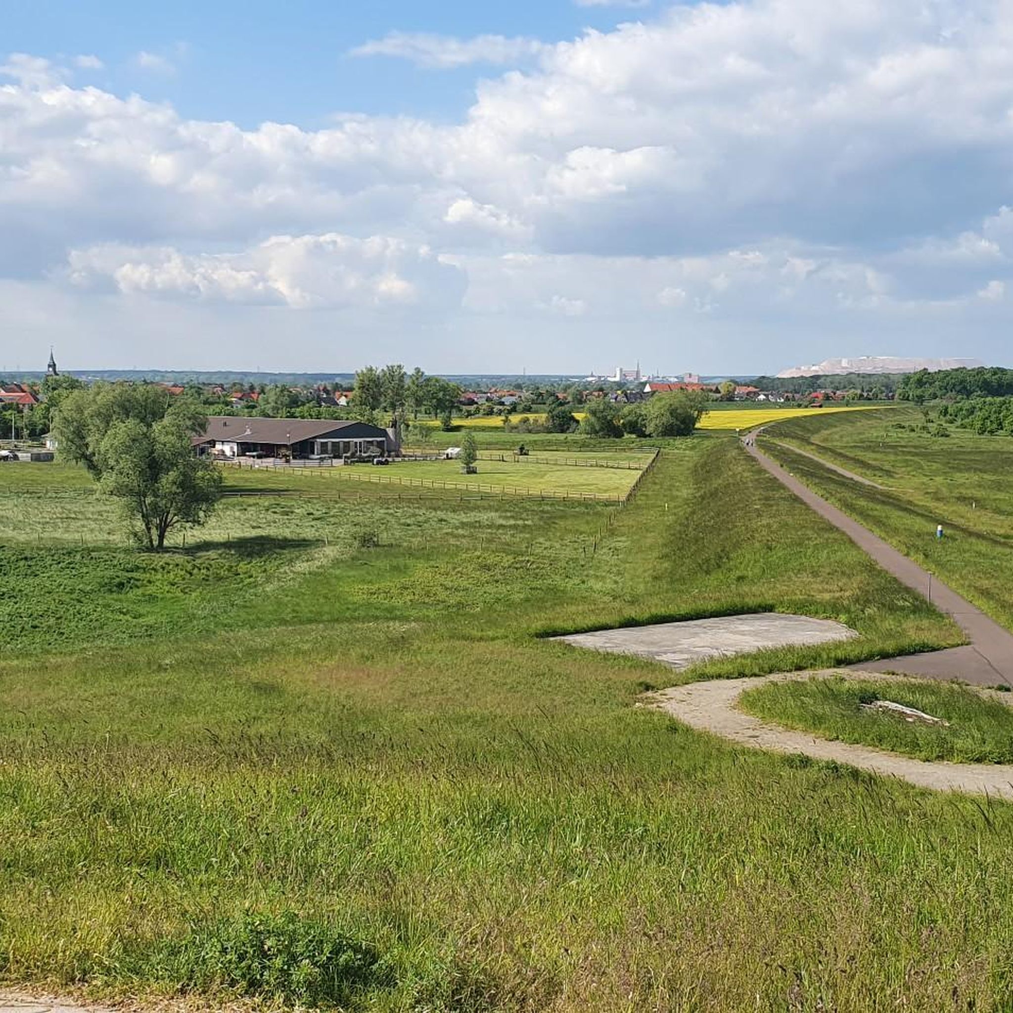
글린덴버그와 칼리만자로의 전망
하이라이트 • 전망대
stadtwolmirstedt.de/glindenberg
번역자 Google •
팁에 의해

칼리만샤로 정상 고원
하이라이트 • 정상
번역자 Google •
팁에 의해

오늘 무료 계정으로 시작하세요
다음 모험이 기다리고 있어요.
로그인 또는 가입하기

커뮤니티 팁

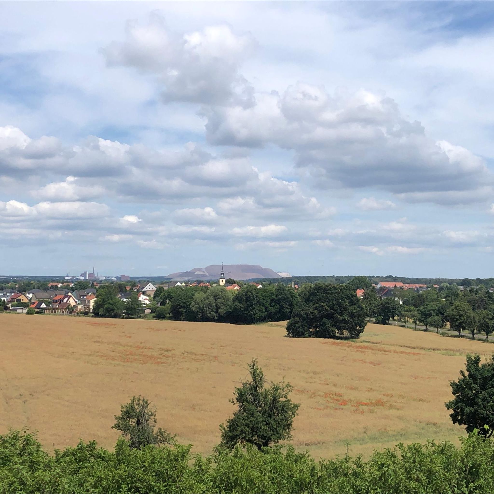
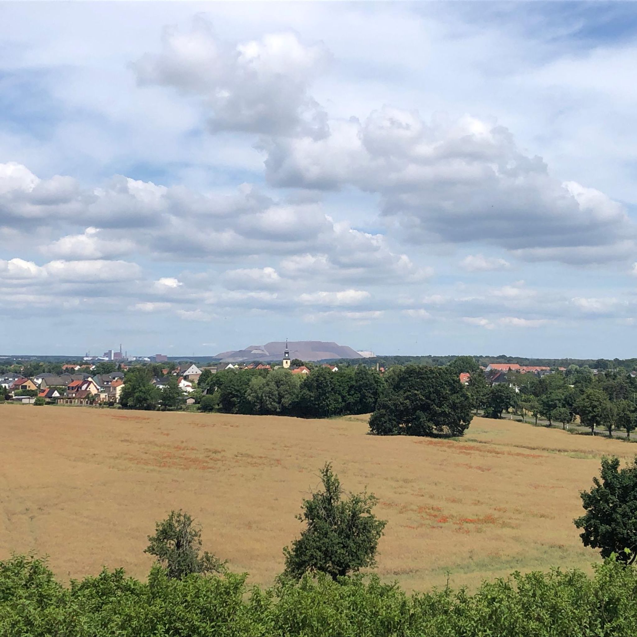
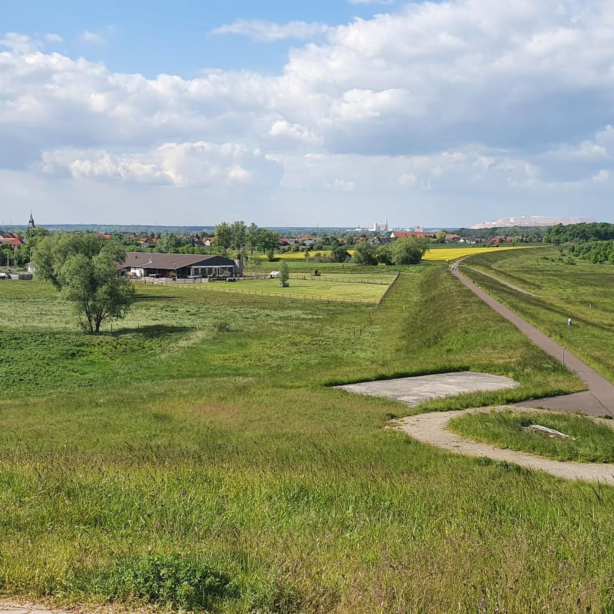
폐기물 더미의 크기가 인상적입니다. 위쪽은 사막을, 일부는 고산을 연상시킵니다.
0
0


You can only get here as part of a guided tour of the slag heap, which takes place every Saturday at 3 p.m. from May to October. You should be a good walker, as the path has a gradient of 16%, is about 6 km long and takes about 3 hours. There is no shade, so it is best to bring something to drink and sun or rain protection. More information at: https://www.bergmannsverein-zielitz.de/
4
0

Nature is always wonderful to look at, especially if you come from the region and can draw comparisons
2
0

A great view of: https://www.stadtwolmirstedt.de/glindenberg/
5
0

The Great Wartberg is with 145.7 m the highest elevation in the Magdeburger Börde. It is located west of Magdeburg half way between Irxleben and Niederndodeleben and belongs to the Niederndodelebener district Schnarsleben. The survey is one of a series of hills, which line up in a north-south direction at a terrain level, which drops from the Börde east to the Elbe. This chain also includes the Dehmberg and the Felsenberg. On the west side runs the Sieggraben (brook). 1910 was built on the summit of the Bismarckturm (Schnarsleben). During the time of the GDR, a radio station of the Soviet Army was set up on the Wartberg. Buildings for soldiers and vehicles were built. On the south side of the mountain was a dump. In 1993, the association Naturfreunde Wartberg founded the traces of the temporarily abandoned military use largely removed and rehabilitated the dump. Source: Wikipedia
1
0
The Great Wartberg is with 145.7 m the highest elevation in the Magdeburger Börde. It is located west of Magdeburg half way between Irxleben and Niederndodeleben and belongs to the Niederndodelebener district Schnarsleben. The survey is one of a series of hills that line up in a north-south direction on a terrain that drops from the Börde east to the Elbe. This chain also includes the Dehmberg and the Felsenberg. On the west side runs the Sieggraben (brook). 1910 was built on the summit of the Bismarckturm (Schnarsleben). During the time of the GDR, a radio station of the Soviet Army was set up on the Wartberg. Buildings for soldiers and vehicles were built. On the south side of the mountain was a dump. In 1993, the association Naturfreunde Wartberg founded the traces of the temporarily abandoned military use largely removed and rehabilitated the dump. Source: Wikipedia
3
0
Drömseberg - 135 m high and Teufelsberg - 121m, located between Hermsdorf and Gutenswegen at the Gersdorfer Kessel. Archaeological finds prove the importance of the Gersdorfer Kessel in the pre-Christian period as a place of worship and sacrifice. At Teufelsberg, several important paths used to converge. At the Dröms, a spring south of the Drömseberg, there was a processed boulder, which however was blown up and processed as building material. His situation was such that one could follow actions on him from the slopes rising on three sides, as in a natural theater. Field names such as Kreuzhoch, Markwuhne or Heiliger Stieg also refer to a religious significance of the Gersdorfer Kessel. Source: Wikipedia
9
0
월미르슈테트 주변에서 가장 인기 있는 명소


더 살펴보기
이 가이드를 통해 월미르슈테트 주변의 더 놀라운 정상들을 확인해보세요:
