경로

플래너

기능

업데이트

App

로그인 또는 가입

앱 다운로드

로그인 또는 가입

경로
Places to see
Lakes
스웨덴
블레킹

칼스크로나

칼스크로나‬에서 가장 멋진 ‪20‬개의 호수

칼스크로나에서 가장 멋진 호수를 방문하고 싶나요? 호숫가의 고요한 분위기를 느끼거나 날씨가 따뜻한 날 호수에 발을 살짝 담글 수 있다면 얼마나 좋을까요? Komoot 커뮤니티가 추천한 칼스크로나의 주요 호수를 아래에서 살펴보고, 다음 모험 때 직접 찾아가보세요!

마지막 업데이트: 9월 2, 2026

칼스크로나 군도

하이라이트 • 자연

The coastal and marine city of Karlskrona with around 35,000 inhabitants is located in the picturesque archipelago of the southern Swedish province of Blekinge. 1679 by the Swedish King Charles …

번역자 Google •

에 의해

하이킹 보기

휴대폰으로 전송

저장

Nättraby 근처 초원

하이라이트 • 자연

Enjoy this 3.7 kilometer circular walk near Nättraby, Blekinge. The route is generally classified as easy and can usually be completed in 47 minutes. Although the trail is ideal for …

번역자 Google •

에 의해

저장

이런 장소를 발견하려면 지금 가입하세요

최고의 싱글 트랙, 봉우리 및 다양한 흥미로운 야외 장소에 대한 추천을 받아보세요.

무료 회원 가입

Tromtö is known for its beautiful beech forest and invites you to take walks through this magnificent landscape with its coastal character, farmland, and oak groves. Tromtö was formerly part …

번역자 Google •

에 의해

저장

알뫼 자연 보호구역

하이라이트 • 자연

beautiful here. If you don't take the time to collect impressions here, it's your own fault. There are various places where you can park your bike and enter the nature reserve.

번역자 Google •

에 의해

저장

Wämöleden 트레일

하이라이트 • 트레일

A circular walk on the outskirts of Karlskrona, through park and nature, where you will be rewarded again and again with fantastic views. However, the path leads occasionally through housing …

번역자 Google •

에 의해

저장

무료로 가입하여 칼스크로나 주변의 더 많은 호수를 발견하세요.

무료 회원 가입

이미 komoot 계정이 있나요?

오늘 무료 계정으로 시작하세요

다음 모험이 기다리고 있어요.
로그인 또는 가입하기

칼스크로나 주변 인기 장소

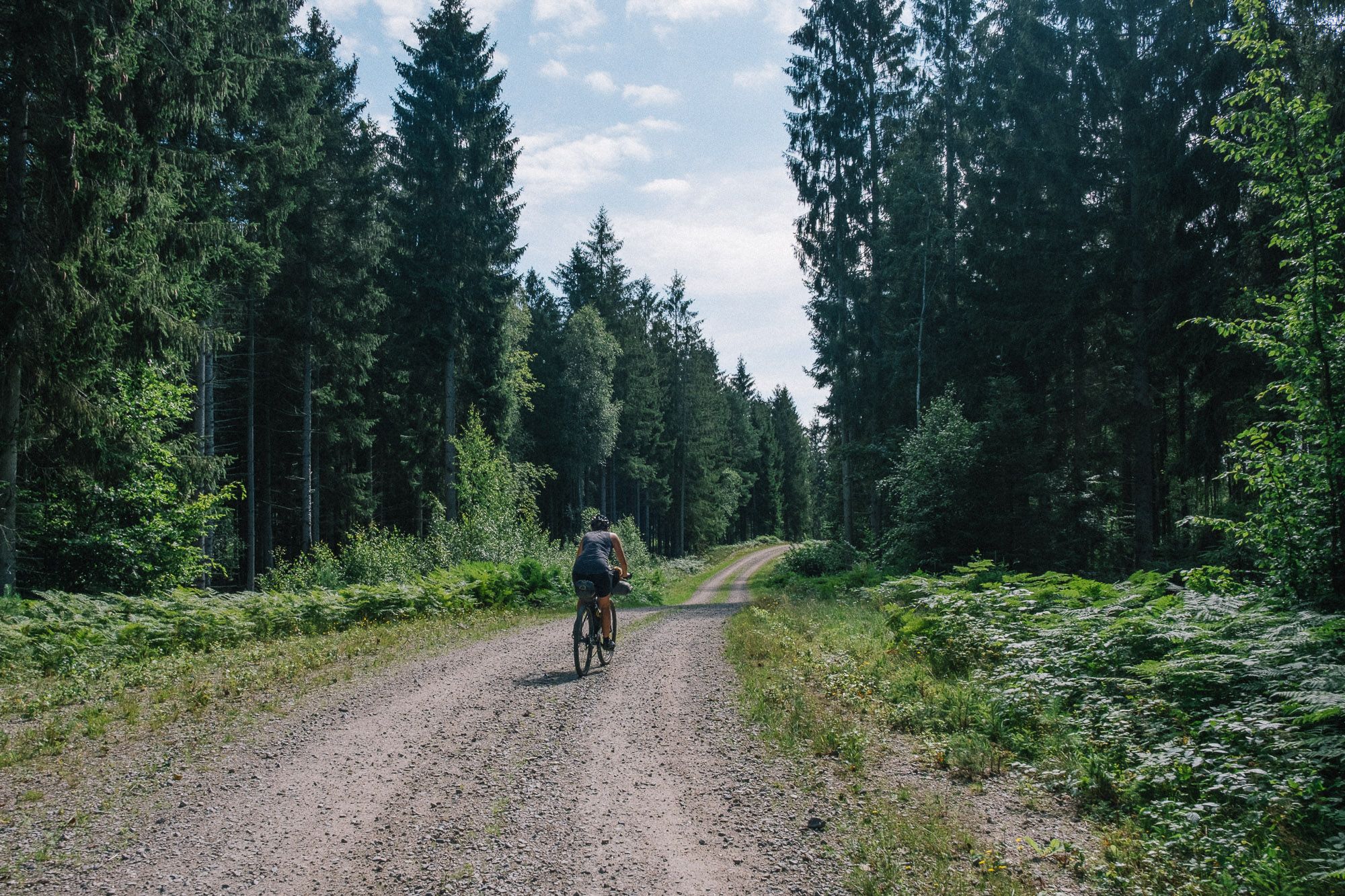
남스웨덴의 평평하고 거친 지형을 타고 - 바이크패킹 모험

스웨덴 남부 야생지대 - 블레킹켈레덴 그래블

칼스크로나 하이킹

칼스크로나 사이클링

칼스크로나 러닝 트레일

칼스크로나 로드 사이클링 경로

칼스크로나 MTB 트레일

칼스크로나 주변 그래블 라이딩

칼스크로나 주변의 다른 모험

남스웨덴의 평평하고 거친 지형을 타고 - 바이크패킹 모험

산악자전거 라이딩 컬렉션 에 의해

Caro "Bandit"

커뮤니티 팁

Klaus-S
6월 25, 2025, Karlskrona Archipelago

Nice place in Karlskrona

번역: Google

0

1

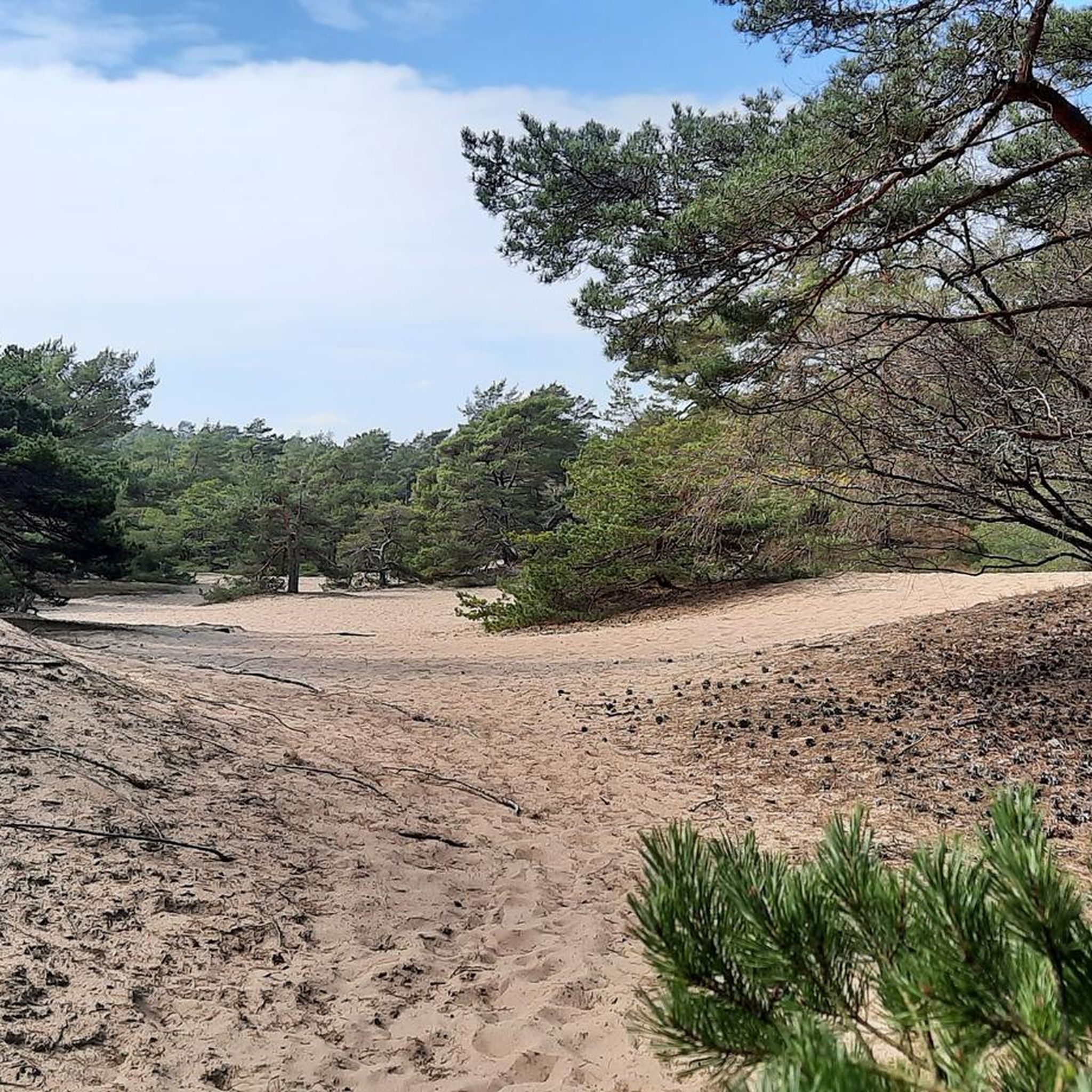
Enjoy this 3.7 kilometer circular walk near Nättraby, Blekinge. The route is generally classified as easy and can usually be completed in 47 minutes. Although the trail is ideal for bird watching, hiking and walking and is often busy, you can enjoy some peace and quiet here at the right time of day. The best time to visit this route is from May to September. Dogs are allowed but must be on a leash.

번역: Google

0

0

Tromtö is known for its beautiful beech forest and invites you to take walks through this magnificent landscape with its coastal character, farmland, and oak groves. Tromtö was formerly part of a manor house belonging to the Johannishus Gods estate. South of Tromtö Manor lies a so-called "English Park," and the walking paths around a wooded hill stand out clearly from the landscape. On the east side, these paths lead to a viewpoint overlooking Västra Fjärden.

번역: Google

1

1

just beautiful the little islands in the city

0

0

Nature reserve on Almö Almö Nature Reserve is located around 10 kilometers south-east of Listerby and covers most of the island of Almö, the surrounding sea area and the adjacent archipelago islands.

번역: Google

4

0

beautiful here. If you don't take the time to collect impressions here, it's your own fault. There are various places where you can park your bike and enter the nature reserve.

번역: Google

4

0

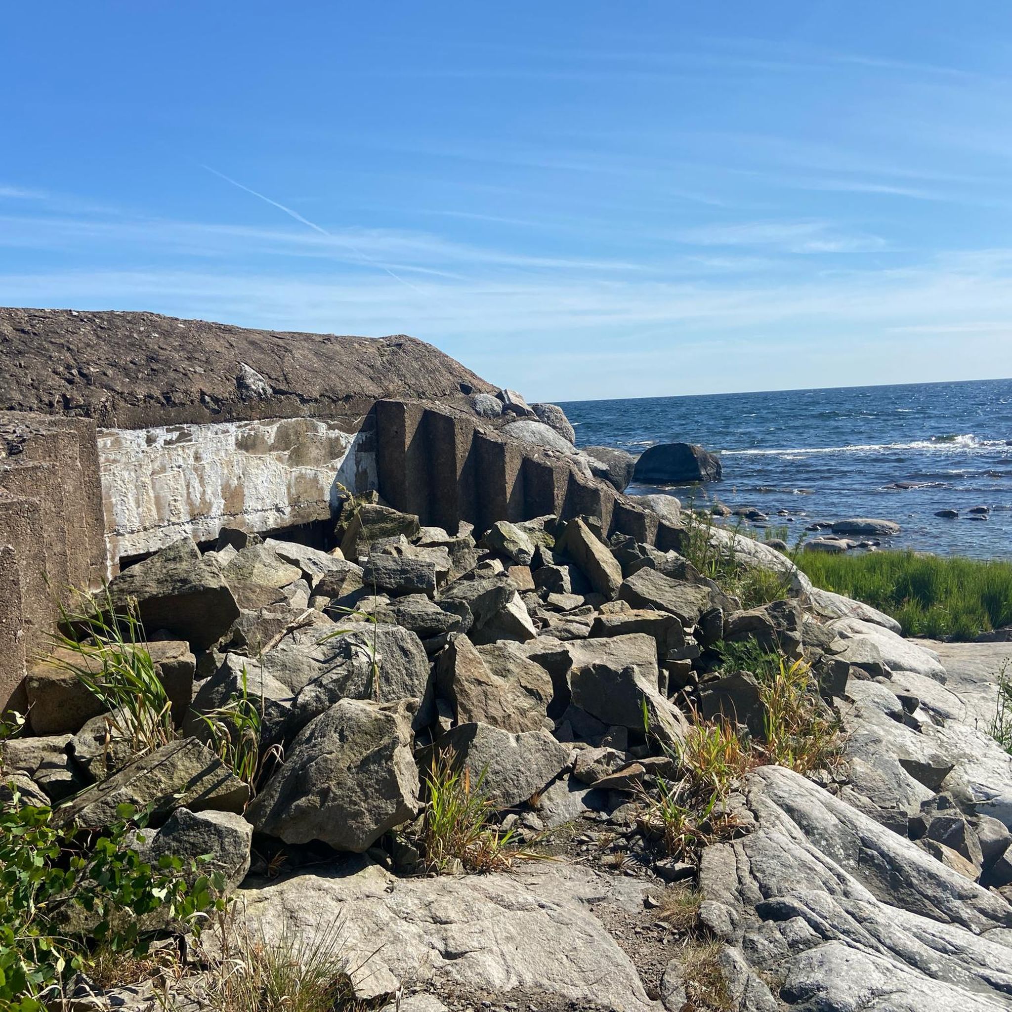
The coastal and marine city of Karlskrona with around 35,000 inhabitants is located in the picturesque archipelago of the southern Swedish province of Blekinge. 1679 by the Swedish King Charles XI. Founded with the aim of expanding its sphere of influence to the Baltic Sea region, the city functioned as a naval base for Sweden, a major military power at the time. The delightful landscape of the archipelago encompasses over 1,500 small and large islands, which are green and red wooden houses or are bare and uninhabited. Karlskrona itself, whose city center is six kilometers out in the archipelago, extends over 33 islands. The center of the city is on the island of Trossö, which is connected by bridges to the island of Hästö and from there to the mainland. The other inner-city areas extend over the nearby islands of Ekholmen, Saltö, Dragsö, Langö and Stumholmen, and are all accessible via bridges. The central square Stortorget in the middle of the old city center is the largest historical square in Sweden with an area of 25,000 square meters. Alongside other historical buildings, the two baroque churches of Fredrikskyrkan and Trefaldighetskyrkan and the old town hall stand on its edge. The island of Stumholmen, located close to the center, was owned by the Swedish Navy for centuries and is now freely accessible. The island is home to the large naval museum, centuries-old shipyards and military installations from the 17th century. Together with the historic port, large parts of the old city center and the old naval facilities, which are almost completely preserved in their original form, were declared a UNESCO World Heritage Site in 1998.

번역: Google

4

0

Maik
8월 27, 2017, Wämöleden Trail

Geniales Foto..tolle Natur..I am the 948 km from me there ... just go cycling ... in 10-12 days I might be there ..

번역: Google

2

0

칼스크로나 주변에서 가장 인기 있는 경로

칼스크로나 하이킹

칼스크로나 주변에서 가장 인기 있는 명소

Places to see

Store rating

komoot 모바일 앱으로 영감을 받아보세요

무료 komoot 계정로 끝없는 야외 모험을 손쉽게 찾고, 맞춤 설정하며 길안내할 수 있어요.

또는

지금 komoot에 가입하세요

Store rating

더 살펴보기

칼스크로나 주변에서 완벽한 호수를 아직 못 찾으셨나요? 이 지역의 가이드를 확인하여 더 아름다운 장소를 찾아보세요.

칼스함로네비올로프스트롬솔베스보리할렌 IIILångasjönäs Naturreservat할렌

근처 어드벤처 가이드

Hästholmen-Ytteröns Naturreservat 즐길거리

background

새로운 정복을 위한 준비를 하세요

무료로 가입하기

탐험하기
경로경로 플래너기능바우처 사용하이킹MTB 트레일로드 사이클링 경로바이크패킹사이트맵
앱 다운로드
소셜 미디어에서 팔로우하기

© komoot GmbH

개인 정보 보호 정책