몽페러에서 가장 멋진 9개의 산 정상
몽페러의 산 정상에 오르면 이 지역의 아름다운 모습을 제대로 구경할 수 있어요. 다만, 9
곳이나 되는 산 정상 중에서 어떤 곳을 가야 할 지 고민된다는 게 문제죠. 몽페러에서 가장 멋진 산 정상을 살펴본 후에 마음에 드는 산 정상을 다음 모험 계획에 추가해보세요.
마지막 업데이트: 10월 12, 2026

Pla Guillem
하이라이트 • 전망대
번역자 Google •
팁에 의해

이런 장소를 발견하려면 지금 가입하세요
최고의 싱글 트랙, 봉우리 및 다양한 흥미로운 야외 장소에 대한 추천을 받아보세요.
카니구 산의 파노라마 전망
하이라이트 • 전망대
번역자 Google •
팁에 의해


Roc de Frausa
하이라이트 • 정상
번역자 Google •
팁에 의해
무료로 가입하여 몽페러 주변의 더 많은 봉우리를 발견하세요.
이미 komoot 계정이 있나요?
오늘 무료 계정으로 시작하세요
다음 모험이 기다리고 있어요.
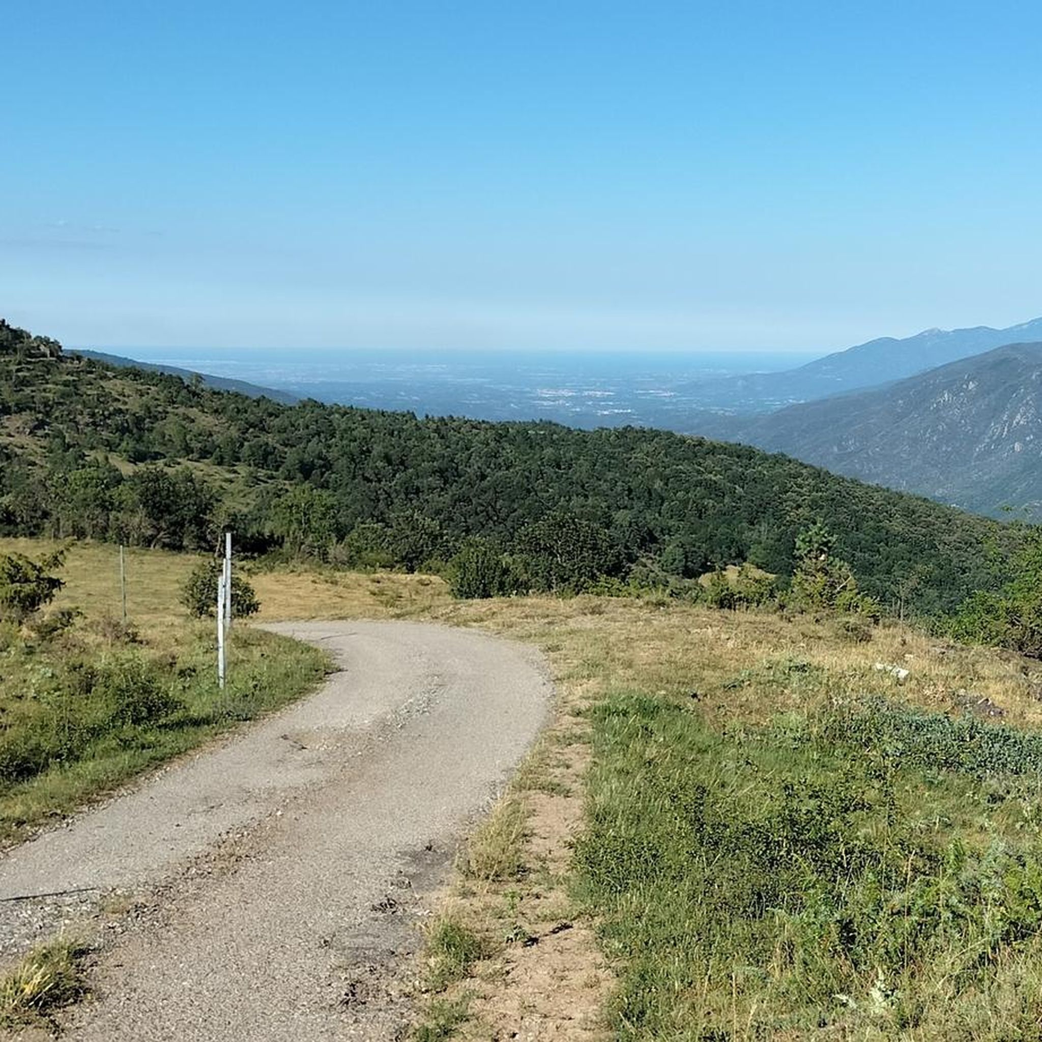

커뮤니티 팁

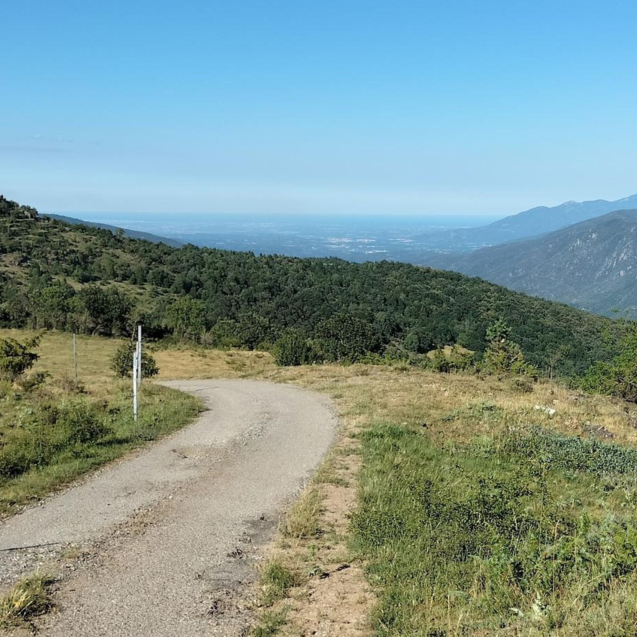
동부 피레네 산맥의 고전이자 아마도 가장 많이 방문되는 봉우리입니다. 위치 때문에 프랑스까지 멀리서도 이 산을 볼 수 있습니다. Ras dels Cortalets 주차장까지 가는 자갈길은 좋은 충격 흡수 장치가 필요합니다(이전까지는 운전이 허용되지 않았다면 수정 요청합니다). 거기서부터 Pic Joffre를 거쳐 정상까지는 600미터의 고도만 오르면 됩니다. 남쪽에서 두 번째로 오르는 길은 조금 더 까다로우며, 종주도 가능합니다.
2
3

Magnificent summit, one of the emblems of Catalonia, the ascent and descent made by the famous chimney more impressive than difficult
0
0

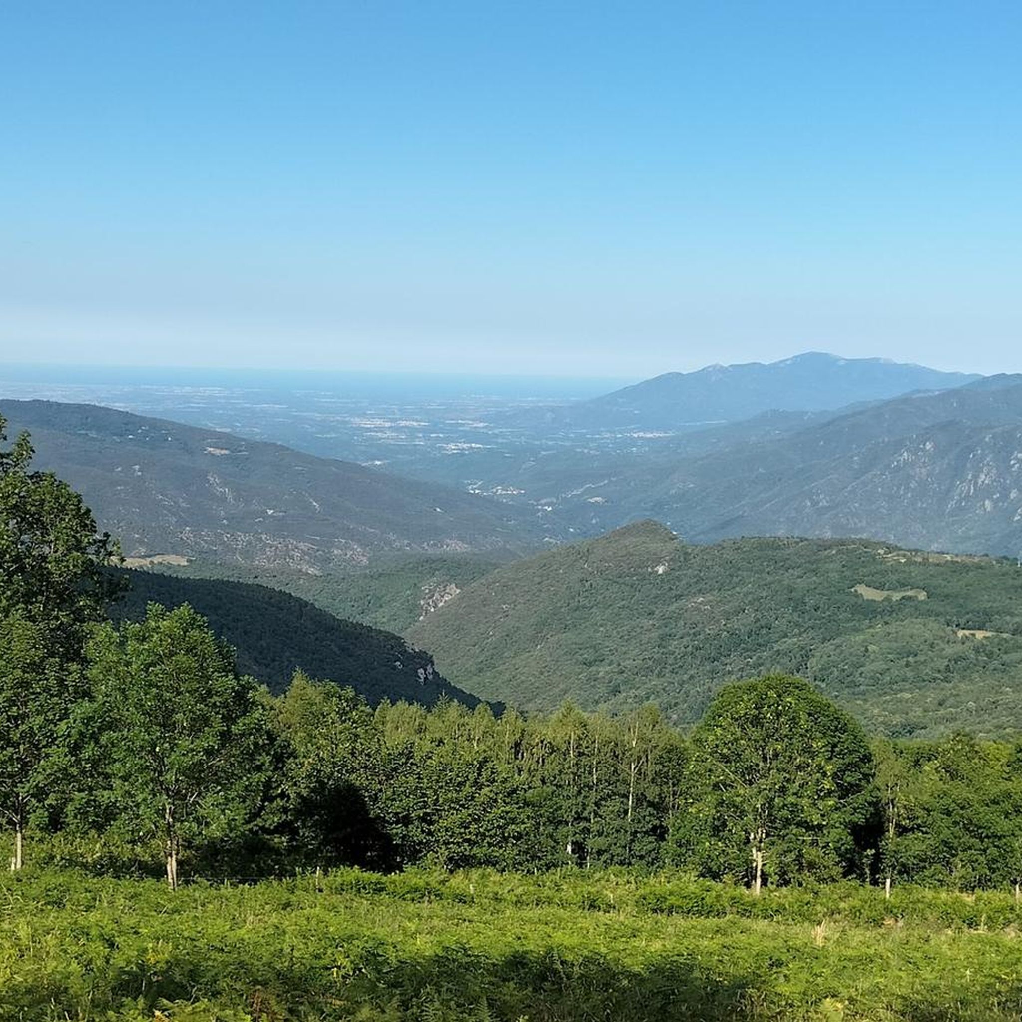
From here, you can see the summit of Canigou. The panorama is breathtaking! This giant of the Pyrénées-Orientales, culminating at 2,784 meters. You can also enjoy a breathtaking view of Arles-sur-Tech.
1
0

This summit follows the ridge line which forms the Franco-Spanish border. To get there, you cross the imaginary line that separates the two countries and you leave the GR 10 for a few hundred meters. It is characterized by impressive rock formations.
1
0
This rocky promontory, also called Roc de France, is part of a series of “rocks” which crown the Salines massif. Together they form part of the Franco-Spanish border.
0
0

High point between Conflent and Vallespir. Magnificent view that deserves. Possible to descend by the GR or by the 4x4 path towards Prats de Mollo.
1
0

Pla Guillem is 2,290 meters above sea level. It is located on the Canigou tour between the Miriailles refuge and the village of Prats-de-Mollo-la-Prest. There is also a path that leads to a beautiful ridge made up of peaks around 2,700 meters above sea level.
0
0
Pla Guillem is located at an altitude of 2,290 meters. It is located on the Canigou tour between the Miriailles refuge and the village of Prats-de-Mollo-la-Preste. There is also a path that leads to a beautiful ridge made up of peaks around 2,700 meters above sea level.
1
0
몽페러 주변에서 가장 인기 있는 명소


더 살펴보기
이 가이드를 통해 몽페러 주변의 더 놀라운 정상들을 확인해보세요:
