이비아스에서 가장 멋진 3개의 산 정상
이비아스 주변 최고의 산봉우리는 푸엔테스 델 나르세아, 데가냐, 이비아스 자연공원 내에 있으며, 다양한 야외 경험을 제공합니다. 이 지역은 구불구불한 언덕과 주목할 만한 정상들로 이루어진 풍경을 특징으로 하며, 하이킹과 탐험의 기회를 제공합니다. 스페인 북서부에 자리한 이 지역은 풍부한 생물 다양성과 다양한 산악 지형으로 유명합니다. 방문객들은 고도 전반에 걸쳐 다양한 자연 경관과 전망대를 발견할 수 있습니다.
이비아스 주변 최고의 산봉우리
- 가장 인기 있는 산봉우리는 아세보 전망대(Acebo Viewpoint)로, 꾸준한 오르막 끝에 보람 있는 경치를 선사하는 전망대입니다. 아스투리아스와 갈리시아 국경 근처에 위치해…
마지막 업데이트: 8월 28, 2026
포소 데 라스 무헤레스 무에르타스 고개
하이라이트 • 산악 고개
번역자 Google •
팁에 의해

푸에르토 델 코니오
하이라이트 • 산악 고개
번역자 Google •
팁에 의해
이런 장소를 발견하려면 지금 가입하세요
최고의 싱글 트랙, 봉우리 및 다양한 흥미로운 야외 장소에 대한 추천을 받아보세요.
무료 회원 가입


알토 데 페드라스 아파냐다스
하이라이트 (구간) • 정상
번역자 Google •
팁에 의해

오늘 무료 계정으로 시작하세요
다음 모험이 기다리고 있어요.
로그인 또는 가입하기
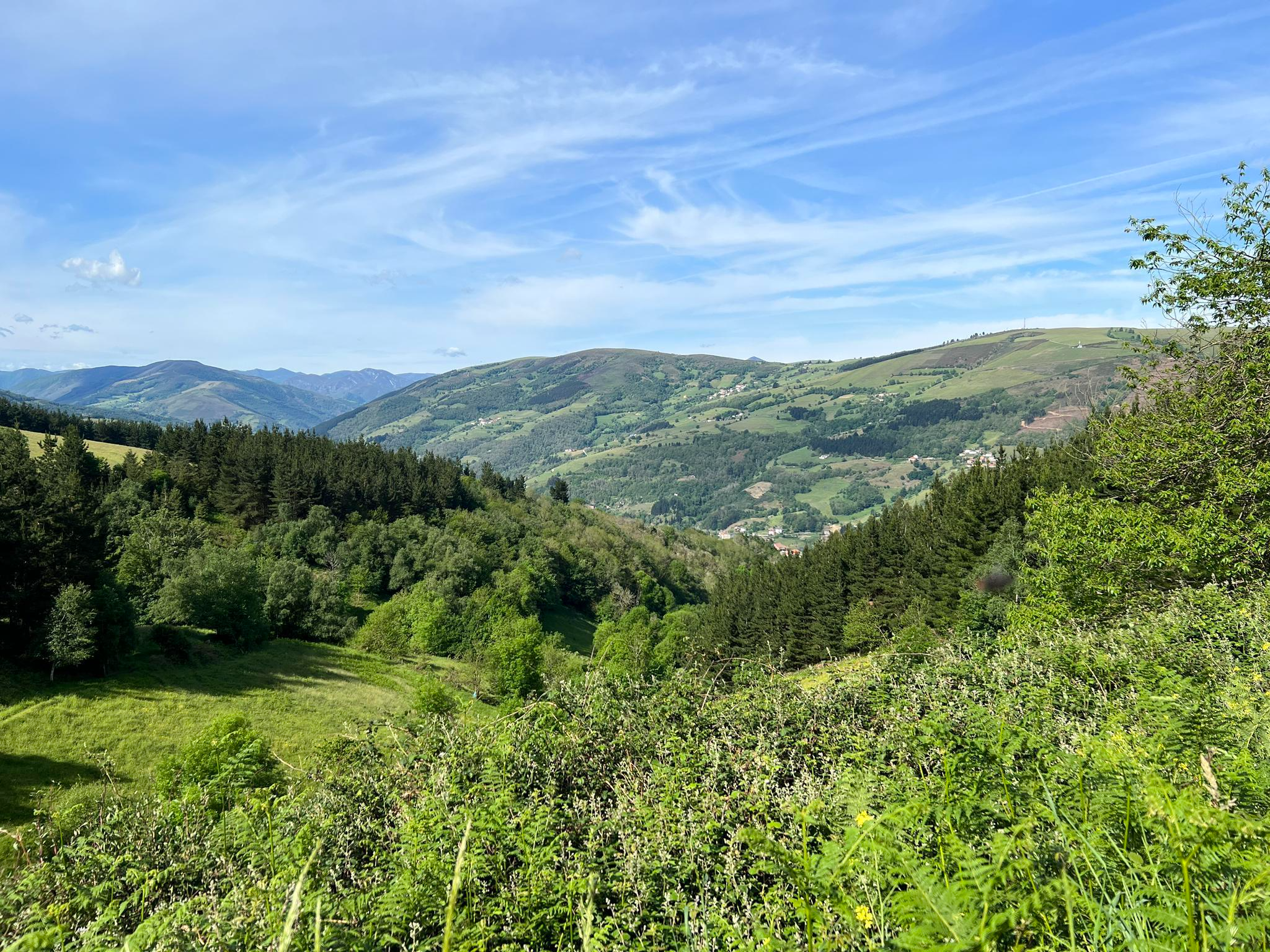
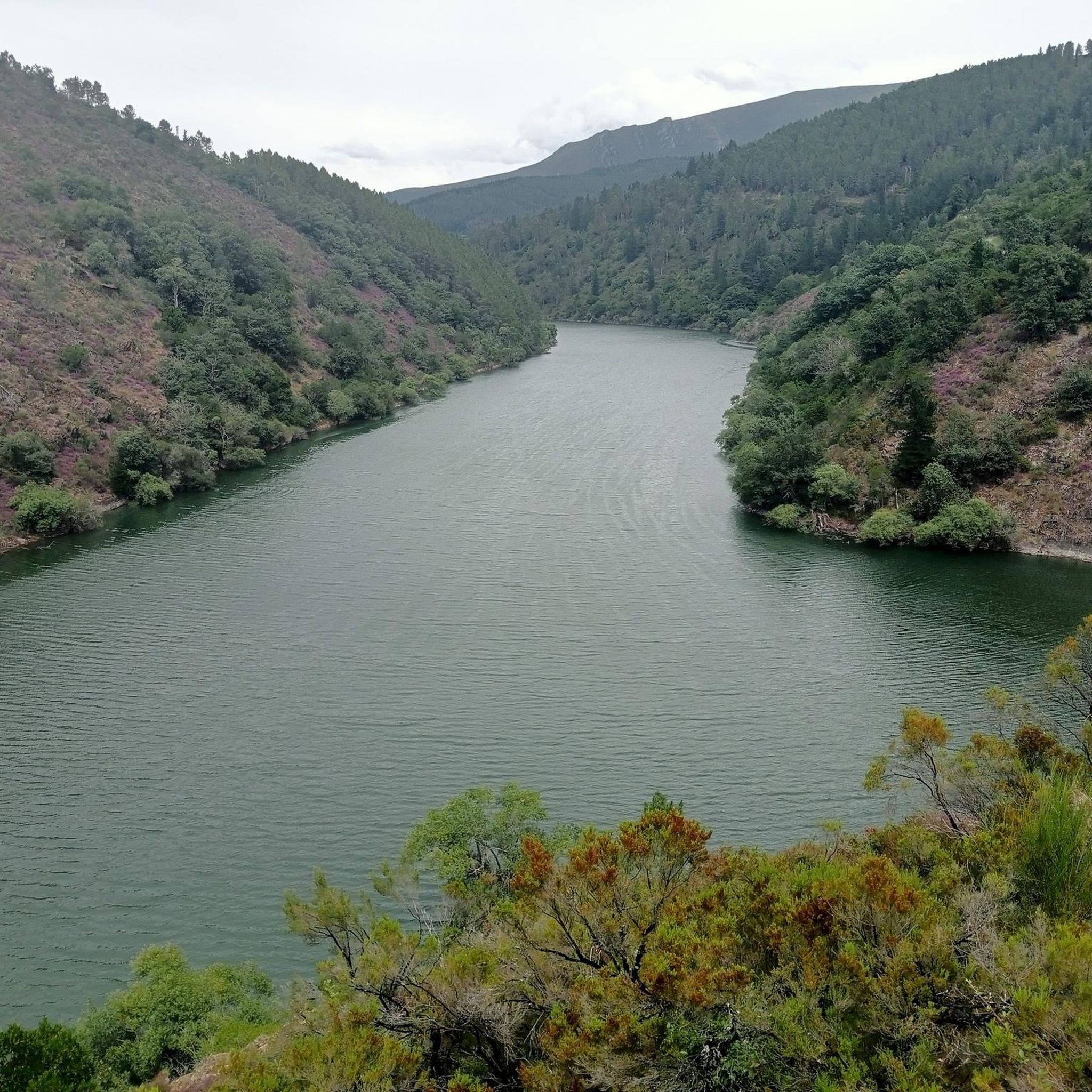
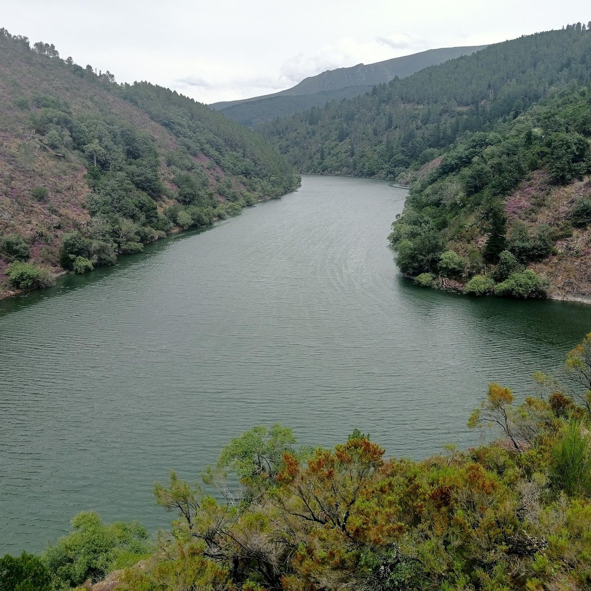
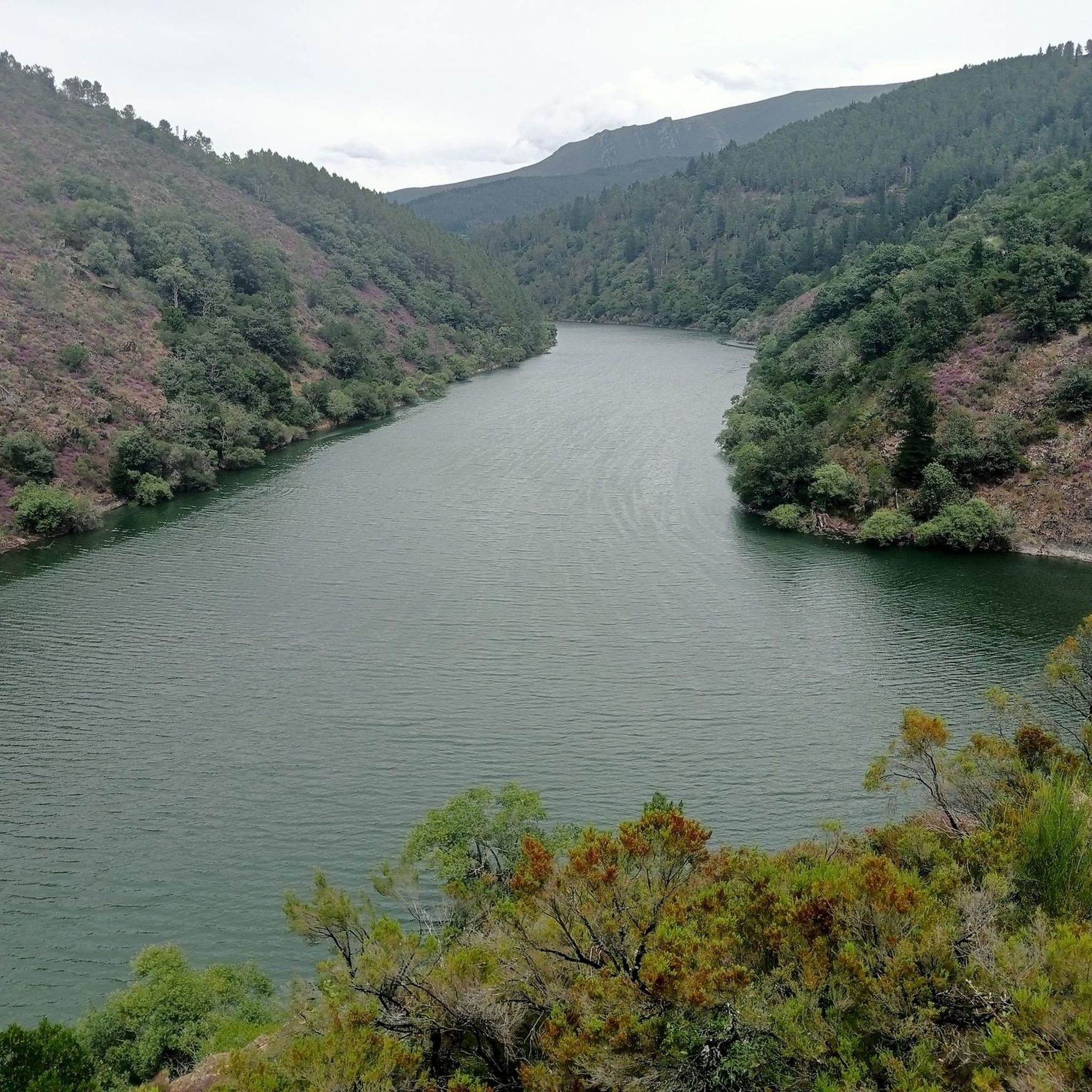
이비아스 주변의 다른 모험

커뮤니티 팁

Among the theories surrounding the unusual name of this mountain pass, one is the popular legend that some shepherdesses were caught in a blizzard and died in a nearby shelter. In any case, the pass is located in a stunning setting.
0
0

Mythical port in the province of Asturias for cyclists. From Cecos, this port awaits us with an altitude of 1,315 meters above sea level, a gradient of 1,024 m and a length of 19.39km with an average % of 5.28 and a maximum slope of 10%.
0
0

The Pozo de las Mujeres Muertas port has 3 slopes, all 3 hard and with ramps above 10%. 1. The eastern slope, which begins in Monasterio del Hermo, has 2 well-differentiated areas, with a second part of 4 km at 10% on average. The road is wide and has smooth asphalt in very good condition. With hardly any trees or traffic. 2. The west slope, which begins in San Antolín de Ibias, is longer and harder than the previous one, with 2 rest sections (including a small downhill section). The ramps are constant and have long straights. It is usually windy as it is a climb without any trees. The road is like the eastern slope. 3. The northern slope, which comes from the Valledor (gold valley), has nothing to do with the previous 2. Narrow and bumpy road, it has the appearance of old ports. It is hard and with constant ramps. With hardly any trees, although the wind blows less. For me, the best aspect. Absence of sources in the 3 slopes. You have to recharge at the starting locations. I once ran out of water on a hot day... and I had a hard time
1
0
The port of Connio is located within the “Port Route” of southwestern Asturias, which also includes the port of Pozo de las Mujeres Muertas. The climb crosses the Muniellos Biosphere Reserve, an authentic natural paradise. I recommend making a stop at a viewpoint in the rest area in the middle of the port (Mirador de Muniellos). I also recommend visiting the interpretation center, which is accessed by turning off the main road and going up a difficult section. For more details on the climb from Ventanueva, I recommend visiting the profile and description of Carlos Vega. https://www.carlosvega.net/ascensiones/159/el-connio-por-ventanueva-cangas-del-narcea
0
0

Alto de Pedras Apañadas on the border between Asturias and Galicia, the peak at 1200 masl is steep, but the descent will be sweet. Spectacular views across the valleys below and surrounding peaks.
1
0
Crossing point of the Route of the Ports from Cangas del Narcea. The route up to here offers us excellent views of the beautiful surroundings of western Asturias.
1
0
Mythical port in the province of Asturias for road bike lovers. From Cecos, this pass awaits us with an altitude of 1,315 masl, a drop of 1,024 m and a length of 19.39 km with an average % of 5.28 and a maximum slope of 10%.
2
0

Located at an altitude of 1,935 meters, Pico del Mostallar or Mustallar is the highest and most emblematic peak in Los Ancares and in the entire province of Lugo.
4
0
자주 묻는 질문
Ibias 지역에서 가장 높은 산봉우리는 무엇인가요?
Ibias 지자체 내에서 가장 높은 봉우리는 해발 1,961미터(6,433피트)의 Rogueira 봉우리입니다. 또 다른 중요한 봉우리인 Teso Mular은 해발 1,883미터(6,170피트)에 달하며, 놀라운 경치와 도전적인 등반으로 유명합니다.
Ibias 지역의 인기 있는 산길 및 전망대는 무엇인가요?
방문객들은 서부 아스투리아스의 멋진 경치를 제공하는 항구 도로(Route of the Ports)의 도전적인 횡단 지점인 Pozo de las Mujeres Muertas 고개를 자주 즐깁니다. 사이클리스트들에게 또 다른 상징적인 장소는 "항구 도로(Port Route)" 내에 위치하며 Muniellos 생물권 보전지역을 가로지르는 Connio 고개입니다. 꾸준한 오르막 후에는 아스투리아스와 갈리시아 국경 근처에 위치한 Acebo 전망대에서도 보람 있는 경치를 감상할 수 있습니다.
Ibias에 산봉우리로 가는 도전적인 하이킹 코스가 있나요?
네, Ibias에는 도전적인 하이킹을 제공하는 여러 봉우리가 있습니다. Teso Mular까지의 등반은 특히 가파르고 바위가 많은 마지막 구간이 체력적으로 힘들지만, 하이커들에게 놀라운 파노라마 경치를 선사합니다. Pozo de las Mujeres Muertas 고개 역시 세 가지 접근로 모두 10% 이상의 경사를 가진 구간이 있어 힘든 오르막길입니다. 진정으로 도전적인 정상 등반을 원한다면, 기술적으로는 Los Ancares에 속하지만 해발 1,935미터의 힘든 등반 코스인 Pico Mostallar이 있습니다.
Ibias의 산봉우리에서 어떤 경치를 기대할 수 있나요?
Ibias의 산봉우리와 고개에서는 주변 칸타브리아 산맥과 Fuentes del Narcea, Degaña e Ibias 자연공원의 다양한 풍경을 광범위하게 조망할 수 있습니다. Rogueira 봉우리에서는 때묻지 않은 자연의 아름다움을, Teso Mular에서는 산맥과 지역의 다채로운 지형에 대한 놀라운 전망을 기대할 수 있습니다. Acebo 전망대와 같은 전망대에서도 이 지역의 보람 있는 풍경을 감상할 수 있습니다.
Ibias의 산봉우리를 방문하기 가장 좋은 시기는 언제인가요?
Ibias의 산봉우리를 하이킹하기에 가장 좋은 시기는 일반적으로 봄과 가을입니다. 봄에는 특히 Teso Mular과 Sisterna 호수 주변에서 풍성한 풍경과 만발한 히스(heather)를 볼 수 있습니다. 가을에는 쾌적한 기온과 활기찬 단풍을 즐길 수 있습니다. 여름도 적합할 수 있지만, 더운 날씨에 대비해야 하며 일부 코스에서는 수원지가 부족할 수 있으므로 충분한 물을 휴대해야 합니다.
Ibias의 산봉우리 근처에서 어떤 야외 활동을 할 수 있나요?
하이킹 외에도 Ibias 지역은 다양한 야외 활동을 제공합니다. Cecos 트레일을 통한 Connio 고개와 같은 도전적인 오르막길을 포함한 수많은 사이클링 코스를 탐험할 수 있습니다. 또한 전용 러닝 트레일과 Muniellos 호수 루프 또는 골드 트레일과 같은 다양한 하이킹 코스가 있어 이 지역의 자연의 아름다움을 경험할 수 있습니다.
Ibias 산봉우리 주변에 가족 친화적인 활동이나 트레일이 있나요?
Ibias의 많은 산악 트레일이 도전적일 수 있지만, 가족을 위한 옵션도 있습니다. 덜 힘들고 짧은 구간의 트레일을 찾거나, 쉬운 산책을 제공하는 자연 공원 주변 지역을 탐험해 보세요. Fuentes del Narcea, Degaña e Ibias 자연공원의 특징인 이 지역의 참나무와 너도밤나무 숲은 정상 등반 없이도 그림 같은 환경에서 산책을 즐길 수 있는 곳입니다. 가족과 함께 출발하기 전에 항상 특정 코스의 난이도를 확인하세요.
Ibias 산악 트레일의 지형 특성은 무엇인가요?
Ibias 산봉우리 주변의 지형은 극적인 지형으로 특징지어집니다. 트레일은 Rogueira 봉우리로 가는 길에서 볼 수 있는 돌과 바위 위를 달리는 재미있고 다소 거칠고 가파른 길부터 Teso Mular의 마지막 오르막과 같은 도전적이고 바위가 많은 오르막길까지 다양합니다. Pozo de las Mujeres Muertas 고개와 같은 일부 산길은 매끄러운 아스팔트의 넓은 도로로 이루어져 있지만, 북쪽 경사와 같은 다른 길은 좁고 울퉁불퉁하여 오래된 산길과 유사할 수 있습니다.
Ibias 산봉우리 주변 트레일에 개를 데려갈 수 있나요?
Ibias와 같은 자연 지역의 많은 야외 트레일은 일반적으로 개에게 친화적이며, 특히 개를 목줄에 묶어두는 경우 더욱 그렇습니다. 그러나 Fuentes del Narcea, Degaña e Ibias 자연공원 및 Muniellos 생물권 보전지역 내에서는 특정 규정이 다를 수 있습니다. 모두에게 즐겁고 책임감 있는 경험을 보장하기 위해, 특히 보호 구역이나 야생 동물 서식지 근처에서는 항상 현지 표지판이나 공원 지침을 확인하여 제한 사항이 있는지 확인하는 것이 좋습니다.
봉우리 자체 외에 어떤 자연적 특징을 볼 수 있나요?
봉우리 외에도 이 지역은 다양한 자연적 특징을 자랑합니다. 예를 들어, Teso Mular로 가는 길에는 아름다운 Sisterna 호수와 여러 폭포가 포함되어 있으며, 특히 봄에 더욱 인상적입니다. 또한 자연공원의 특징인 고대 참나무와 너도밤나무 숲을 포함한 야생적이고 고독한 풍경을 만나게 될 것입니다. 이 지역은 풍부한 동식물로 인해 자연 관찰에 훌륭한 목적지입니다.
이비아스 주변에서 가장 인기 있는 명소


더 살펴보기
이 가이드를 통해 이비아스 주변의 더 놀라운 정상들을 확인해보세요:
