피르가스에서 가장 멋진 20개의 협곡
최고의 협곡들은 그란 카나리아의 한 지자체 내에 위치하며, 이곳은 상당한 자연적인 계곡과 "물의 도시"라는 명성으로 특징지어집니다. 이 지역은 라우리스 실바 숲의 흔적을 따라 걷는, 인정받은 자연 보호 구역이자 특별 보존 구역인 바라코 데 아수아헤(Barranco de Azuaje)를 포함하여 울창하고 푸른 풍경을 자랑합니다. 이 협곡들은 연중 끊이지 않는 물 흐름, 독특한 미기후, 그리고 풍부한 생물 다양성으로 유명하며, 월계수 숲과 같은 식물 생장에 적합합니다. 피르가스는 이러한 깊은 지질 구조 내에서 모험적인 하이킹과 탐험의 기회를 제공합니다.
피르가스 주변 최고의 협곡
- 가장 인기 있는 협곡은…
마지막 업데이트: 8월 27, 2026

그란카나리아: 비르헨 협곡
하이라이트 • 협곡
번역자 Google •
팁에 의해

이런 장소를 발견하려면 지금 가입하세요
최고의 싱글 트랙, 봉우리 및 다양한 흥미로운 야외 장소에 대한 추천을 받아보세요.
무료 회원 가입
Barranco de Azuaje 위 고가교
하이라이트 • 다리
For obligatory breaks to dry your feet, eat something next to the waterfalls, with the sound of the water in the background and the birds chirping.
번역자 Google •
팁에 의해
바랑코 데 산 페드로 출구
하이라이트 • 트레일
번역자 Google •
팁에 의해

바랑코에서 로프를 이용한 등반
하이라이트 • 등반
번역자 Google •
팁에 의해

무료로 가입하여 피르가스 주변의 더 많은 협곡을 발견하세요.
무료 회원 가입
이미 komoot 계정이 있나요?
오늘 무료 계정으로 시작하세요
다음 모험이 기다리고 있어요.
로그인 또는 가입하기

커뮤니티 팁

We had to cut our hike short after about two-thirds of the way and were able to reach the other side of the gorge via a narrow path. It had rained heavily in the days leading up to it. The stream was very high, and in some places, the elevated path had disappeared due to a landslide. Nevertheless, it was absolutely worth seeing what was down there. ...
1
0

The bridge is wide enough, but the road is very narrow in some places. And large buses use it.
3
0

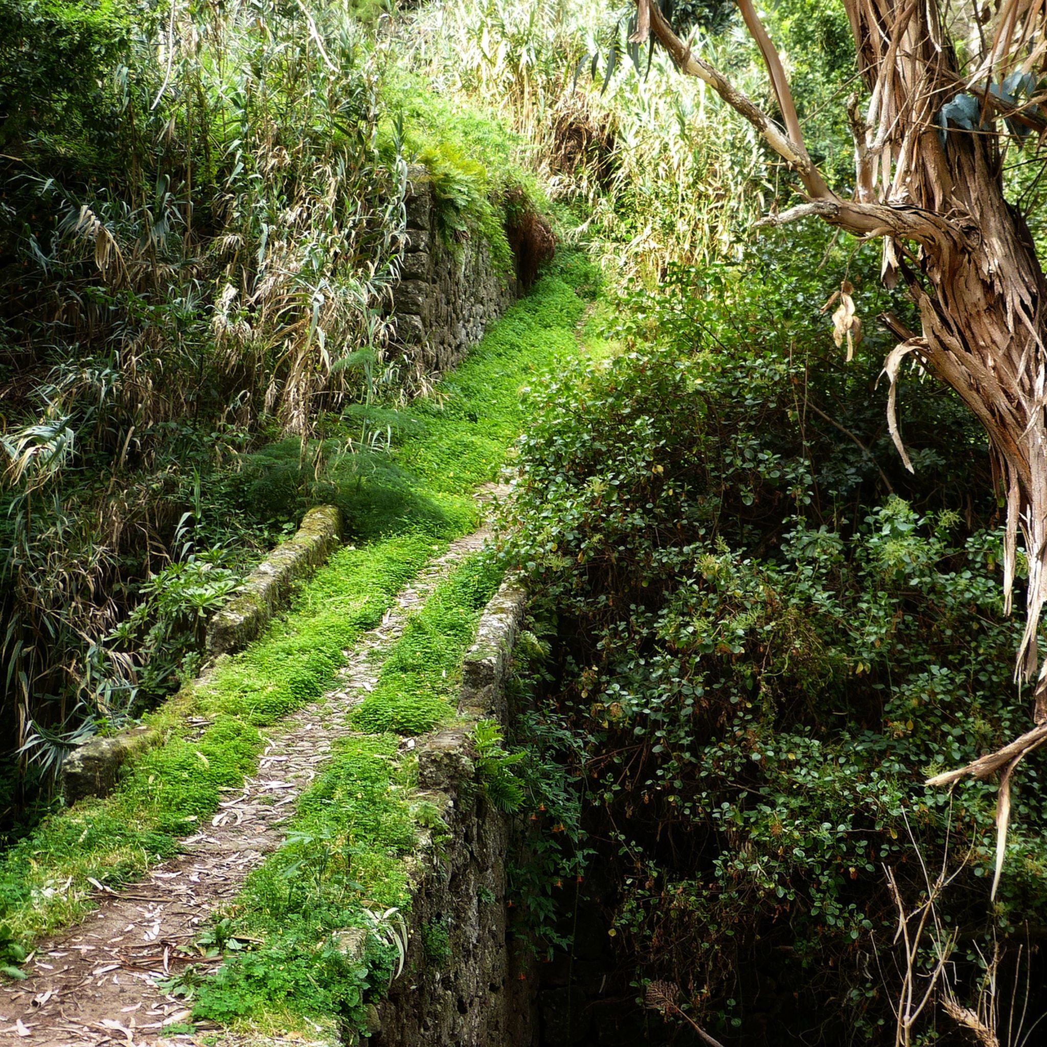
If you continue to the right and cross the bridge, you will pass the coffee plantation. Then the footpath follows various stairs through the winding streets of San Pedro.
1
0

Beautiful jungle path, here you walk alone
0
0

At this point several hikers have obviously already missed the climb - approx. 50 m. Further on, if you missed the exit, the hiking trail through the Barranco ends at San Pedro and you can't go any further ("jungle feeling". End of the path, there are rock faces all around - definitely worth seeing ;-)). So go back and look for the exit ;- - at least that's what happened to us. So it's best to follow the official route directly: Coming from the direction of Agaete, go up to the left at the wooden post with a green marking (follow the trail) = BEFORE the small pond, and quite far before the foot bridge over the Barranco. After approx. 15 mtr. there is another post on the slope. Continue there along the old Levada wall. After about 30 meters you can decide whether to turn left onto the street or follow the path to the right over the "bridge". There we go up to San Pedro, where Finca la Laja is also located (can of course also be reached by road ;-)). By the way: If you don't turn left directly at the post, follow the now well-trodden path to the end of the dead end - definitely worth seeing (approx. 50 meters) - "jungle feeling" ;-).
4
0
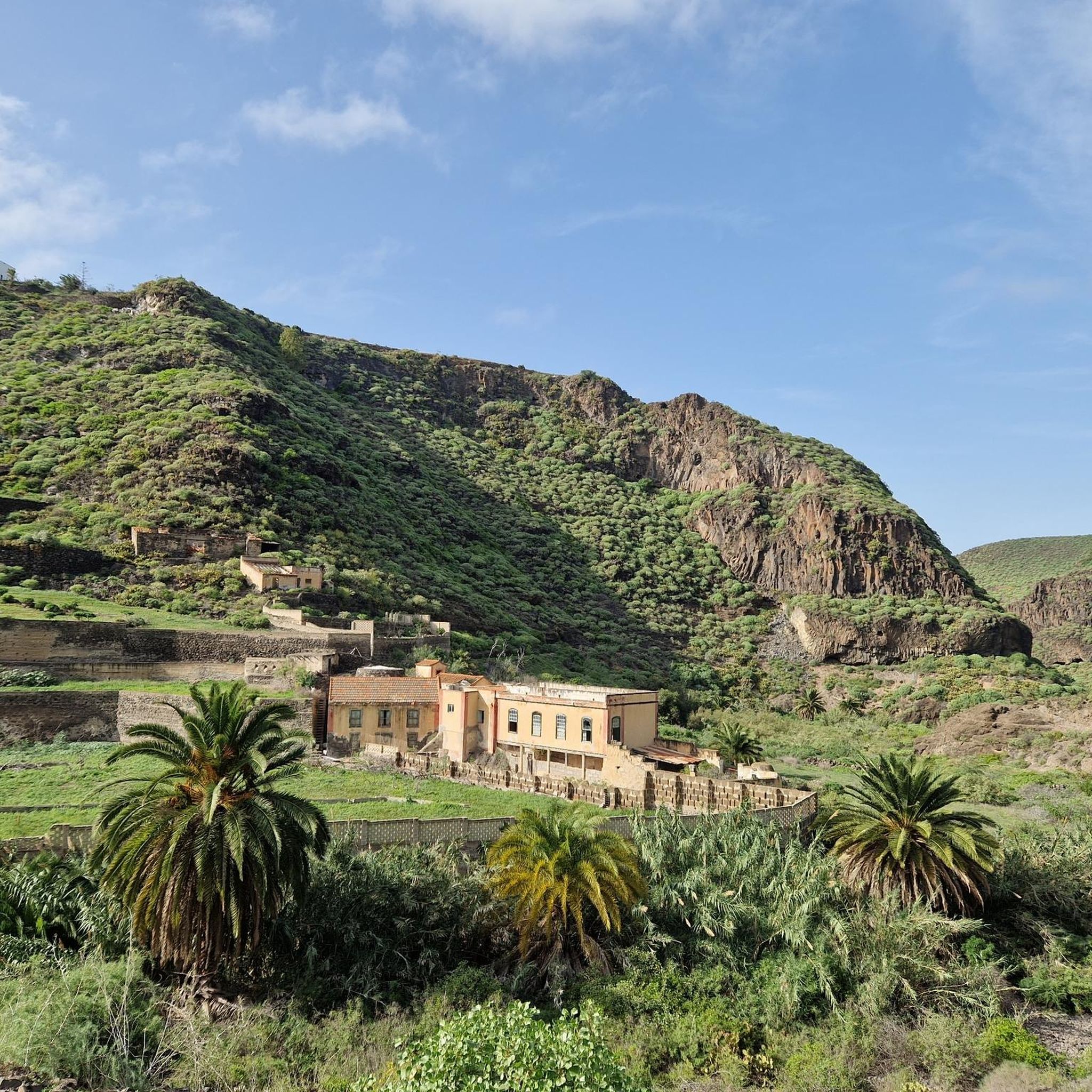
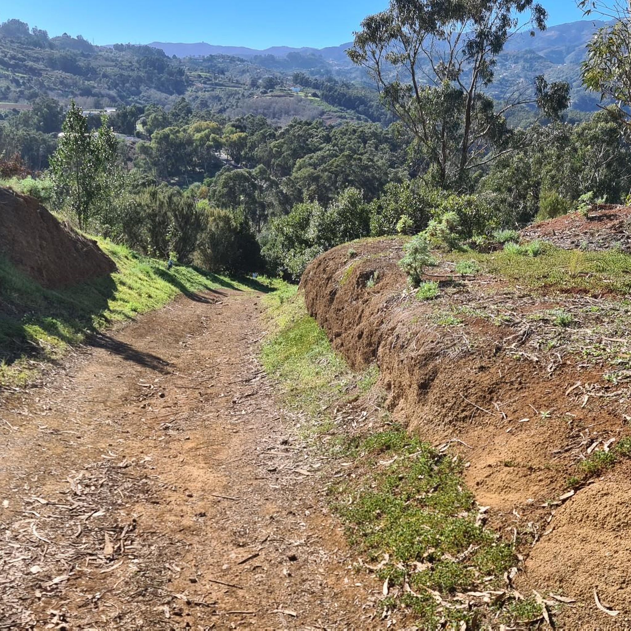
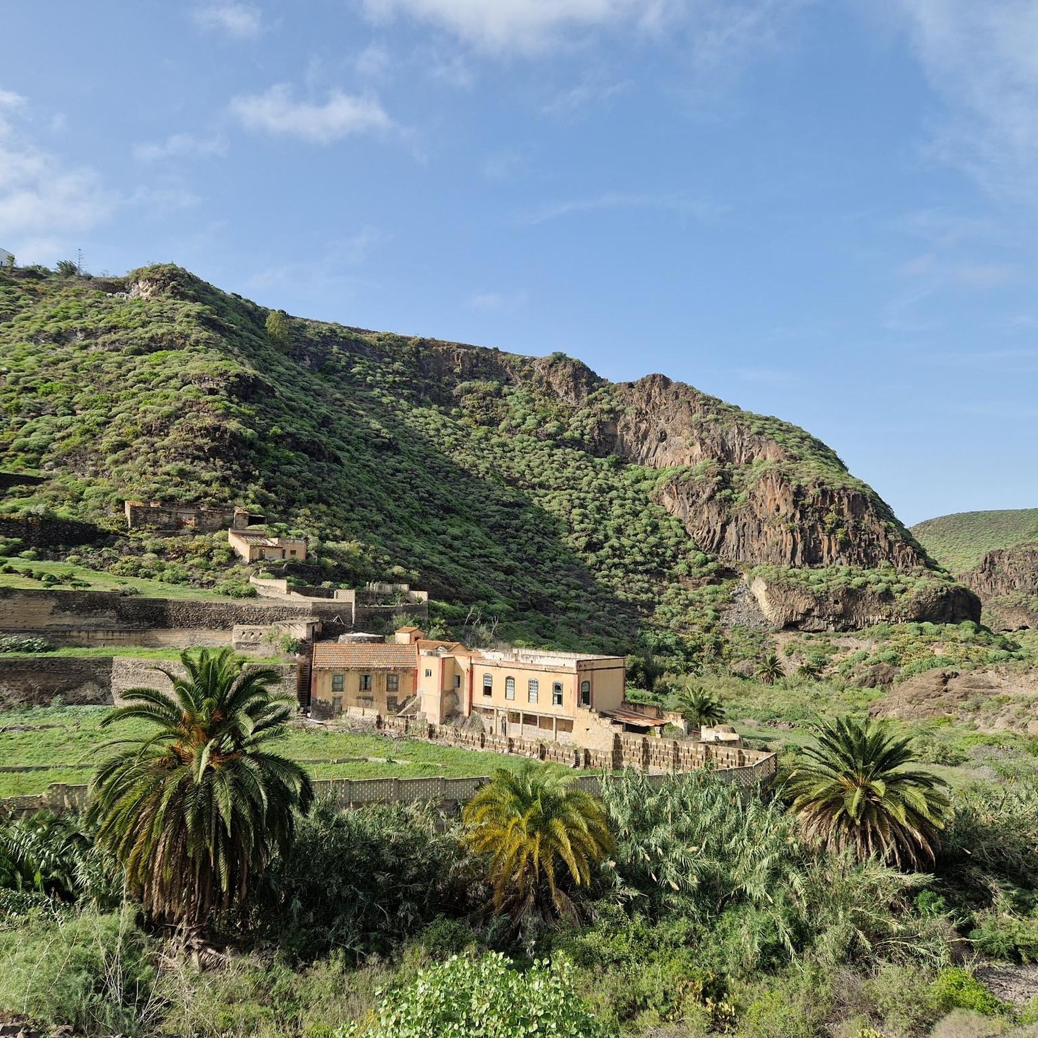
A beautiful, fertile and green valley with laurel trees, eucalyptus trees etc. You can explore the valley on various hiking trails. The signs are quite good (and quite new) - we really liked the many signs and information boards along the way, where hikers can find out more about the valley, highlights and flora/fauna in different languages. Top !
0
0
On the way through the Barranco there are two places where sturdy ropes are attached as climbing aids, which are very helpful. You can easily pass the places in both directions, provided you are sure-footed, of course. Adventurous, but easy to master. In the Barranco you can sometimes get wet shoes/feet, depending on the weather and the water level, but it is usually not really deep. Stones and tree trunks are good help in most places and are welcome.
1
0
Very beautiful, idyllic Barranco. Here you follow the course of the stream through the Barranco on adventurous paths, crossing it again and again. Including small climbing insoles... Sturdy shoes are important!
1
0
피르가스 주변에서 가장 인기 있는 명소


더 살펴보기
이 지역에서 모든 것을 발견하셨나요? 다음 모험을 위해 피르가스 주변의 추가 협곡을 확인해보세요:
