롱필드에서 가장 멋진 4개의 산 정상
Longfield 주변의 최고의 산봉우리들은 해발 92미터까지의 고도를 가진 저지대 마을인 롱필드, 켄트보다 더 넓은 지리적 맥락에서 찾을 수 있습니다. 이 가이드는 "Longfield" 검색과 관련된 북아일랜드의 카운티 아르마와 같은 다른 지역의 유명한 봉우리들에 초점을 맞춥니다. 이 지역들은 멸종된 화산부터 중요한 정상까지 다양한 풍경을 제공하며, 다채로운 야외 경험을 선사합니다. 이 지역은 자연의 아름다움과 역사적 중요성으로 특징지어집니다.
Longfield 주변의 최고의 산봉우리
- 가장 인기 있는 산봉우리는 카운티 아르마에서 가장 높은 지점인 573미터 높이의 화산인 Slieve Gullion Summit입니다. 정상에는 영국 제도에서 가장 높은 통로…
마지막 업데이트: 8월 25, 2026
슬리브 걸리언 정상
하이라이트 • 화산
번역자 Google •
팁에 의해

슬리브걸리온 북부 케언 및 칼리아 베라의 호수
하이라이트 • 정상
번역자 Google •
팁에 의해
이런 장소를 발견하려면 지금 가입하세요
최고의 싱글 트랙, 봉우리 및 다양한 흥미로운 야외 장소에 대한 추천을 받아보세요.
무료 회원 가입
클레르몽 카른 정상 및 송신소
하이라이트 • 정상
팁에 의해


오늘 무료 계정으로 시작하세요
다음 모험이 기다리고 있어요.
로그인 또는 가입하기
롱필드 주변 인기 장소

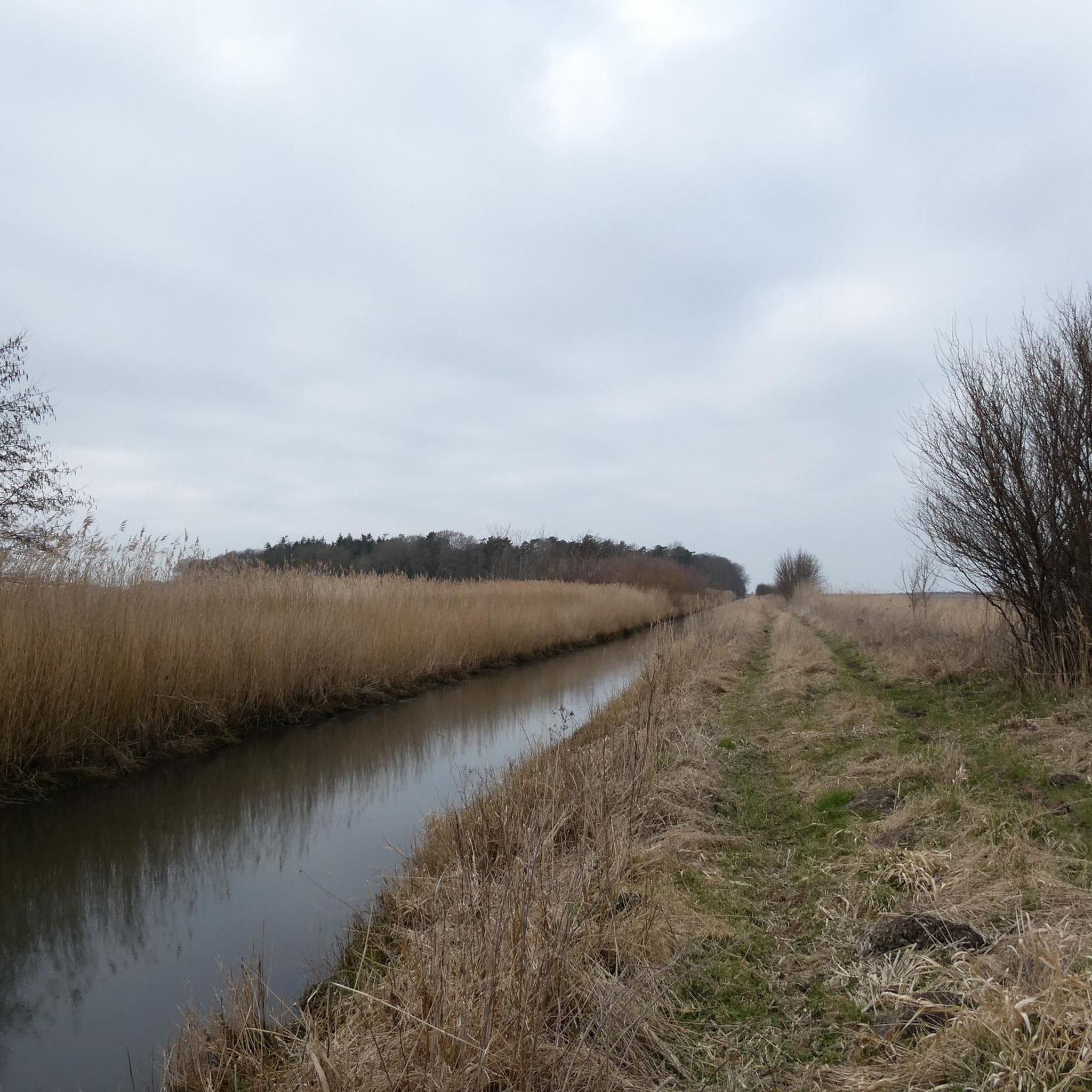
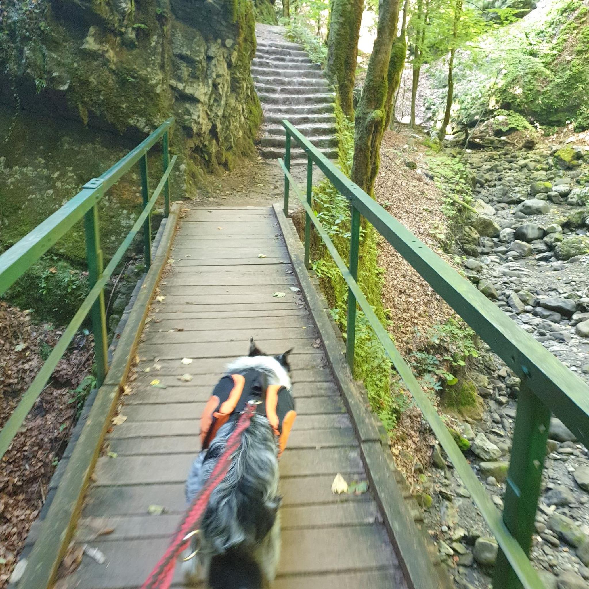
커뮤니티 팁

Carnavaddy는 475m(1,558피트)로 공식적인 산은 아니지만, 눈에 띄는 산이며 반도를 따라 바다를 바라보는 멋진 전망을 제공합니다. 어느 쪽에서든 걸을 수 있으며, 종종 북쪽에 있는 Clermont Carn과 결합하여 훌륭한 산악 활동의 하루를 만들 수 있습니다.
0
0

As soon as you cross the gentle ridge of Slieve Gullion, the North Cairn stretches out before you - a slightly smaller hill than its southern neighbour, but no less impressive. The stones that gather here seem like silent sentinels, witnesses of the distant Bronze Age. Two ancient stone boxes were once found here during excavations, which lay hidden in the depths of history. The North Cairn, with its diameter of around 18 metres, invites you to pause for a moment and enjoy the peace. But it is not just the Cairn that is fascinating. Right next to it lies "Calliagh Beara's Lough", a quiet mountain lake that, according to legend, is the home of the witch Beara. On a clear day, the sky is reflected in the calm waters and you can almost feel the ancient magic of this place coming to life. The road here may be rocky, but the landscape rewards with sweeping views and a touch of mysticism that makes Slieve Gullion something special.
1
0


At the highest point of the Black Mountain you are greeted by spectacular views of the surrounding landscape and the Irish Sea.
3
2

At the heart of the Ring of Gullion AONB, you'll find this beautiful mountain, which represents the highest point in the county with an elevation of 573 meters (1,880 ft). Right next to it there is a burial cairn.
1
0
Slieve Gullion, whose name sounds as poetic in English as "Sliabh gCuillinn" in Irish, rises majestically in the "Ó Fiaich Country" in the south of County Armagh in Northern Ireland. At 573 meters high, it not only hides a geological wonder in the form of an extinct volcano, but also the highest Passage Tomb in the British Isles. This passage tomb is particularly mysterious because its entrance is aligned exactly towards the point where the sun sets on the winter solstice. The best place to start your hike is from the Slieve Gullion viewing platform, where there is not only plenty of parking, but also space to stay overnight in a motorhome. From there a clearly marked path, demarcated by a staircase of large rocks, leads to the South Cairn. The transition between the South Cairn and the North Cairn is soft and wet, making the path a true nature experience. However, it should be noted that the descent from the North Cairn back to the viewing platform is rather steep and not always clear. From the summit, hikers are treated to a breathtaking panorama. The view sweeps over the landscape all around and you quickly understand why this area has been classified as an "Area of Outstanding Natural Beauty". The "Slieve Gullion Forest Park" landscape protection area extends over large heath areas on the sunlit mountain slopes. For those who want to experience the full spectrum of this stunning area, there is the 57km long waymarked Ring of Gullion Way. A 13 km long section of this circular hiking trail, the “Slieve Gullion Walk”, leads from the car park at Meigh directly to the summit and back again.
2
0

위키백과 (Clermont Carn (아일랜드어: Carnán Mhaighréid Náir), 2022-11-03): https://en.m.wikipedia.org/wiki/Clermont_Carn 위키백과 (Clermont Carn 송신소, 2022-11-03): https://en.m.wikipedia.org/wiki/Clermont_Carn_transmission_site 위키백과 (Cooley Mountains, 2022-11-03): https://en.m.wikipedia.org/wiki/Cooley_Mountains MountainViews.ie (Clermont Carn, 2022-11-03): https://mountainviews.ie/summit/434/ - 전망대 (Carlingford Lough, Dundalk, …) - 송신소 (2RN (RTÉ Networks), Saorview, …) - 신석기 시대 무덤 석관
2
2
The climb up the north side of Black Mountain challenges you right from the start - the first half kilometre feels like a wall before it levels out a bit. But don't be fooled, there's a final kick just before the summit that will make your legs feel what they've done. Once at the top, you'll be rewarded with impressive views of the surrounding countryside that will make you feel like you're standing on top of the world. The route itself runs right along the border between Ireland and Northern Ireland, which creates a special atmosphere. Keep warm in changing weather and be prepared for sudden showers - the wind can pick up quickly up here. The descent requires some caution, as some parts are steep and the tarmac isn't always perfect. But that's what makes it so appealing - an adventure worth it and an experience to remember.
1
2
자주 묻는 질문
Longfield 주변에서 탐험할 만한 가장 눈에 띄는 산봉우리는 무엇인가요?
이 지역에서 가장 눈에 띄는 봉우리들은 Ring of Gullion Area of Outstanding Natural Beauty 내에 있습니다. 여기에는 아일랜드 북부 아르마 주의 가장 높은 지점인 슬리브 걸리온 정상(Slieve Gullion Summit)과 훌륭한 파노라마 전망을 제공하는 카나바디 정상(Carnavaddy Summit)이 포함됩니다. 또한 클레르몽 카른 정상(Clermont Carn Summit)과 험준한 블랙 마운틴 북쪽(Black Mountain North Side)도 탐험할 수 있습니다.
슬리브 걸리온에서 어떤 독특한 자연 및 역사적 특징을 찾을 수 있나요?
슬리브 걸리온 정상(Slieve Gullion Summit)은 사화산이며 영국 제도에서 가장 높은 통로 무덤(Passage Tomb)이 있는 곳으로, 안으로 들어가 겨울 해넘이를 향해 방향이 맞춰져 있습니다. 주변 지역은 슬리브 걸리온 숲 공원(Slieve Gullion Forest Park)의 일부이며 광대한 황무지가 특징입니다. 근처에 있는 슬리브 걸리온 북쪽 카른(North Cairn of Slieve Gullion)에는 청동기 시대 석함이 있으며, 그 옆에는 지역 전설이 깃든 조용한 산악 호수인 "칼리아 베라의 호수(Calliagh Beara's Lough)"가 있습니다.
Longfield 주변의 산봉우리를 탐험하기에 가족 친화적인 옵션이 있나요?
일부 등반은 어려울 수 있지만, 더 넓은 Ring of Gullion 지역에는 가족에게 적합한 다양한 트레일이 있습니다. 예를 들어, 슬리브 걸리온 숲 공원에는 다양한 수준의 이용객을 위한 편의 시설과 트레일이 있습니다. 계획 시, Longfield 주변 하이킹 가이드 내에서 '보통(moderate)' 또는 '쉬움(easy)'으로 설명된 경로를 찾아보세요. 이러한 경로는 종종 더 접근하기 쉬운 길을 나타냅니다.
이 지역의 산봉우리를 방문하기 가장 좋은 시기는 언제인가요?
봄과 가을은 일반적으로 시원한 기온과 아름다운 풍경으로 쾌적한 하이킹 날씨를 제공합니다. 여름은 낮 시간이 길지만 더 붐빌 수 있습니다. 겨울 하이킹은 가능하지만, 특히 블랙 마운틴 북쪽(Black Mountain North Side)과 같은 봉우리에서는 가파르고 습한 조건 때문에 적절한 장비와 주의가 필요합니다.
이 봉우리들 근처에는 어떤 종류의 하이킹 트레일이 있나요?
이 지역은 다양한 하이킹 트레일을 제공합니다. 예를 들어, 57km 길이의 표지판이 있는 "Ring of Gullion Way"는 슬리브 걸리온(Slieve Gullion)을 순환하며, "Slieve Gullion Walk"라고 알려진 13km 구간은 정상으로 이어집니다. Longfield 주변 하이킹 가이드에서 슬리브 걸리온 주변의 루프 트레일과 시인들의 길(Poets' Trails)을 포함한 여러 경로를 찾을 수 있습니다.
여러 봉우리를 하루 하이킹으로 합칠 수 있나요?
네, 더 긴 하루 산행을 위해 여러 봉우리를 합치는 것이 일반적입니다. 예를 들어, 카나바디 정상(Carnavaddy Summit)은 종종 클레르몽 카른 정상(Clermont Carn Summit)과 결합되어 훌륭한 산악 하이킹을 만들며, 반도와 바다를 내려다보는 광대한 전망을 제공합니다.
하이킹 외에 다른 야외 활동 옵션도 있나요?
물론입니다. 롱필드(Longfield)와 링 오브 걸리온(Ring of Gullion) 주변 지역은 다양한 야외 활동으로 인기가 많습니다. 룸퍼스 바(Lumpers Bar)와 링 오브 걸리온 사이클 투어(Ring of Gullion Cycle Tours) 주변의 루프를 포함한 수많은 도로 자전거 코스를 찾을 수 있습니다. 또한 슬리브 걸리온(Slieve Gullion) 러닝 루프와 포에츠 트레일(Poets' Trail)과 같은 전용 러닝 트레일도 있습니다.
이 산봉우리들에 접근하기 위한 주차 시설은 어떤가요?
슬리브 걸리온(Slieve Gullion)의 경우, 등반의 일반적인 시작점으로 사용되는 슬리브 걸리온 전망대(Slieve Gullion Viewing Platform)에 충분한 주차 공간이 있습니다. 카나바디(Carnavaddy)와 같은 다른 봉우리에 대한 구체적인 주차 정보는 다를 수 있지만, 등산로 입구에는 종종 지정된 주차 구역이 있습니다.
정상에서 어떤 전망을 기대할 수 있나요?
이 봉우리들의 정상에서 보는 전망은 장관입니다. 슬리브 걸리온 정상(Slieve Gullion Summit)에서는 사방으로 멋진 파노라마 전망을 감상할 수 있습니다. 카나바디 정상(Carnavaddy Summit)은 반도와 바다를 내려다보는 훌륭한 전망을 제공합니다. 클레르몽 카른 정상(Clermont Carn Summit)과 블랙 마운틴 북쪽(Black Mountain North Side)에서는 주변 풍경과 아일랜드 해의 인상적인 경치를 즐길 수 있습니다.
숙련된 등산객을 위한 도전적인 등반 코스가 있나요?
네, 도전을 추구하는 숙련된 등산객을 위해 블랙 마운틴 북쪽(Black Mountain North Side)은 힘든 등반을 제공합니다. 처음 0.5km는 매우 가파르다가 평탄해지며, 정상 근처에서 마지막으로 급경사를 이룹니다. 슬리브 걸리온 정상(Slieve Gullion Summit) 또한 도전적인 코스로 분류되며, 특히 북쪽 돌무더기에서 내려오는 길은 가파르고 덜 명확할 수 있습니다.
롱필드 주변에서 가장 인기 있는 경로
롱필드 주변에서 가장 인기 있는 명소


더 살펴보기
이 가이드를 통해 롱필드 주변의 더 놀라운 정상들을 확인해보세요:
