노르달에서 가장 멋진 11개의 호수
노르달에서 가장 멋진 호수를 방문하고 싶나요? 호숫가의 고요한 분위기를 느끼거나 날씨가 따뜻한 날 호수에 발을 살짝 담글 수 있다면 얼마나 좋을까요? Komoot 커뮤니티가 추천한 노르달의 주요 호수를 아래에서 살펴보고, 다음 모험 때 직접 찾아가보세요!
마지막 업데이트: 10월 17, 2026

달스니바에서 바라본 게이랑에르피오르드 전망
하이라이트 • 전망대
번역자 Google •
팁에 의해

이런 장소를 발견하려면 지금 가입하세요
최고의 싱글 트랙, 봉우리 및 다양한 흥미로운 야외 장소에 대한 추천을 받아보세요.
게이랑에르피오르드 워터프론트와 폭포
하이라이트 • 폭포
The fjord is 15 km long, 1.5 km wide at its widest point, and 700 m deep at its deepest point. The area, which has been …
번역자 Google •
팁에 의해

Djupvatnet
하이라이트 • 호수
번역자 Google •
팁에 의해

게이랑에르 교회와 게이랑에르 피요르드 전망
하이라이트 • 종교적 장소
번역자 Google •
팁에 의해
무료로 가입하여 노르달 주변의 더 많은 호수를 발견하세요.
이미 komoot 계정이 있나요?

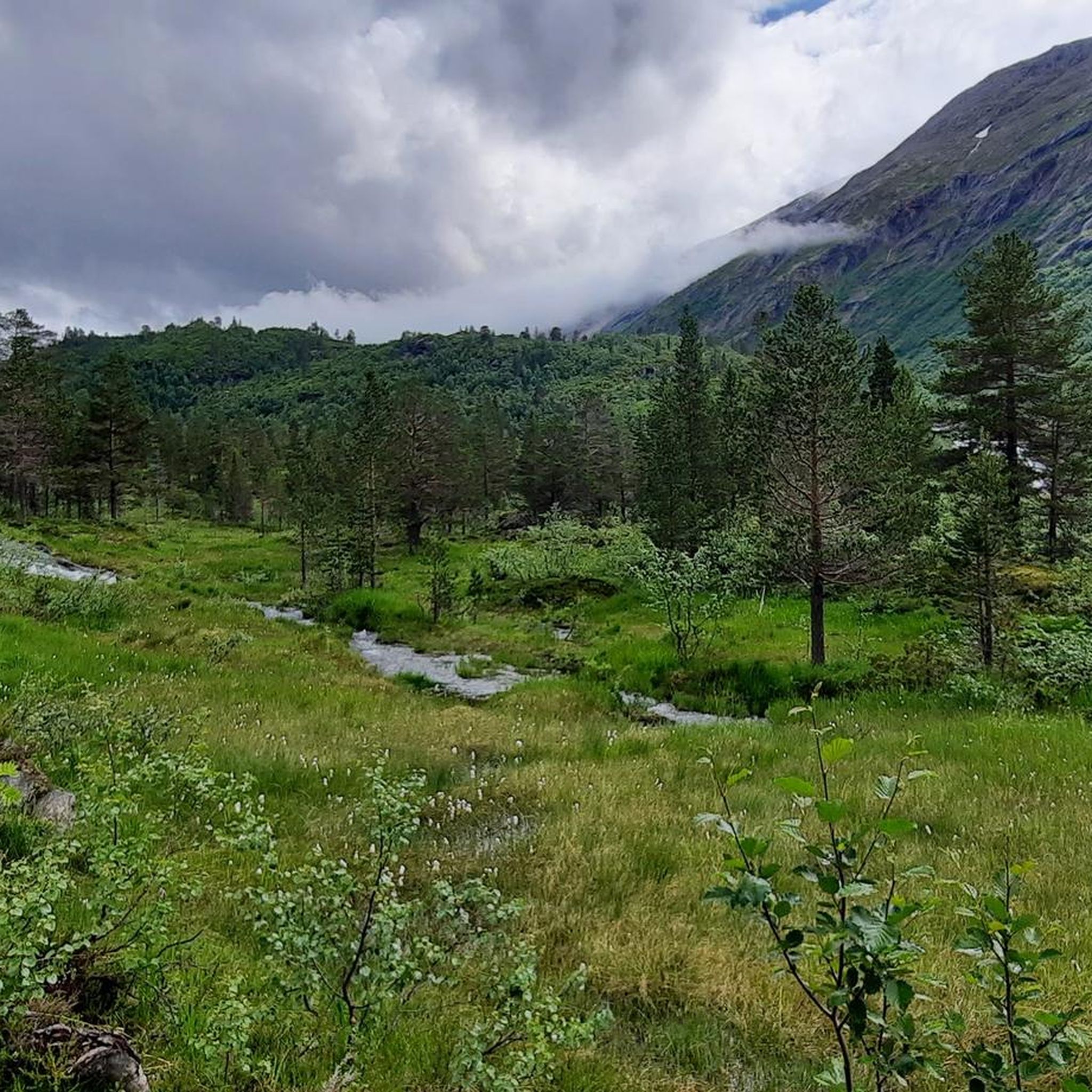
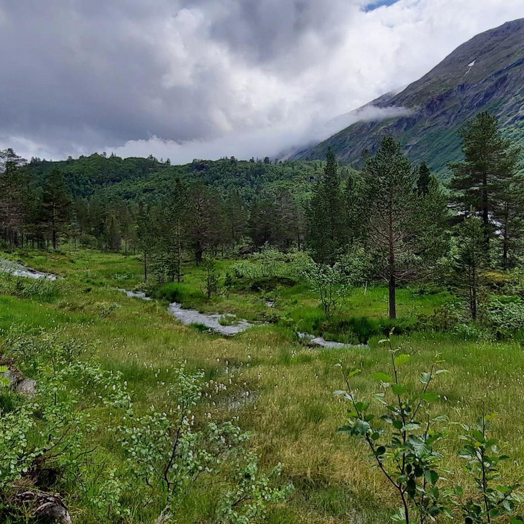
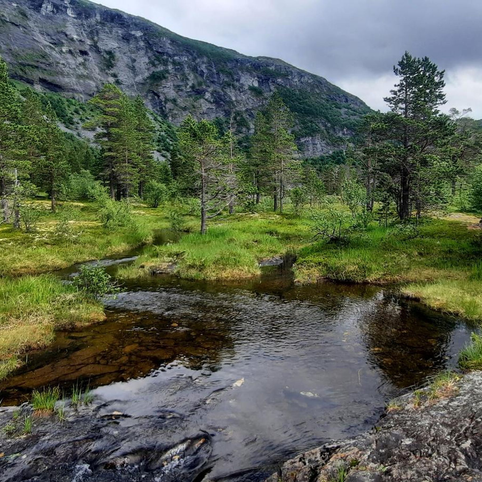



커뮤니티 팁

게이랑에르에서의 보트 투어는 필수입니다. 그래야만 폭포를 볼 수 있습니다. 정말 아름답습니다.
0
0

The cheapest way to get from Geiranger to Hellesylt is to line 1152 car ferry which costs kr 370 - kr 550 and takes 1 h 5 min. What is the fastest way to get from Geiranger to Hellesylt? The quickest way to get from Geiranger to Hellesylt is to line 1152 car ferry which costs kr 370 - kr 550 and takes 1 h 5 min.
1
0
A good Geiranger insider tip is to cycle from Dalsnibba down to the fjord to enjoy the spectacular views along the way, rather than just looking from the skywalk. Discover famous waterfalls like "The Seven Sisters" and the Bridal Veil on a fjord boat cruise before cruise ships dock to experience the view without the large crowds. Explore the Flydalsjuvet viewpoint with its chair installation, or hike to the Homlongsætra mountain pasture for a different, lesser-known view of the fjord.
1
0
Facts about the Geirangerfjord The fjord is 15 km long, 1.5 km wide at its widest point, and 700 m deep at its deepest point. The area, which has been declared a UNESCO World Heritage Site, covers 498 km² and includes the fjord and the surrounding areas in the Stranda and Norddal counties.
1
0

Small, cute church that towers over the town
1
0
Geirangerfjord is one of Norway's most famous fjords and has been a UNESCO World Heritage Site since July 14, 2005. It is located approximately 200 km (as the crow flies) northeast of Bergen and approximately 280 km (as the crow flies) northwest of Oslo in the county of Møre og Romsdal. It is approximately 15 km long and between 0.6 and 1.3 km wide.
1
0

Geiranger. Very beautiful fjord. There is also a disaster film - "The Wave"
0
0

What a view from Dalsnibba over the Geiranger Fjord!!
2
0
노르달 주변에서 가장 인기 있는 경로
노르달 주변에서 가장 인기 있는 명소


더 살펴보기
노르달 주변에서 완벽한 호수를 아직 못 찾으셨나요? 이 지역의 가이드를 확인하여 더 아름다운 장소를 찾아보세요.
