오다에서 가장 멋진 4개의 산 정상
오다의 산 정상에 오르면 이 지역의 아름다운 모습을 제대로 구경할 수 있어요. 다만, 4
곳이나 되는 산 정상 중에서 어떤 곳을 가야 할 지 고민된다는 게 문제죠. 오다에서 가장 멋진 산 정상을 살펴본 후에 마음에 드는 산 정상을 다음 모험 계획에 추가해보세요.
마지막 업데이트: 10월 17, 2026


이런 장소를 발견하려면 지금 가입하세요
최고의 싱글 트랙, 봉우리 및 다양한 흥미로운 야외 장소에 대한 추천을 받아보세요.
Bondhusbreen 빙하 기슭에서 접근할 수 있는 가장 높은 지점
하이라이트 • 전망대
팁에 의해


놀라운 전망 포인트
하이라이트 • 전망대
팁에 의해

무료로 가입하여 오다 주변의 더 많은 봉우리를 발견하세요.
이미 komoot 계정이 있나요?
오늘 무료 계정으로 시작하세요
다음 모험이 기다리고 있어요.



커뮤니티 팁

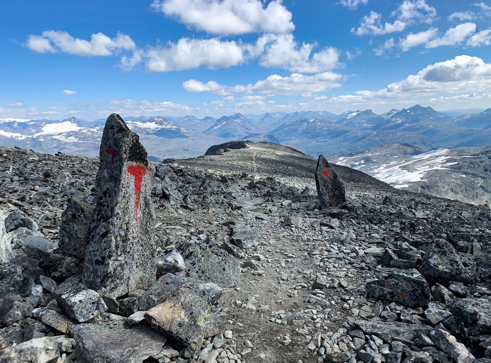
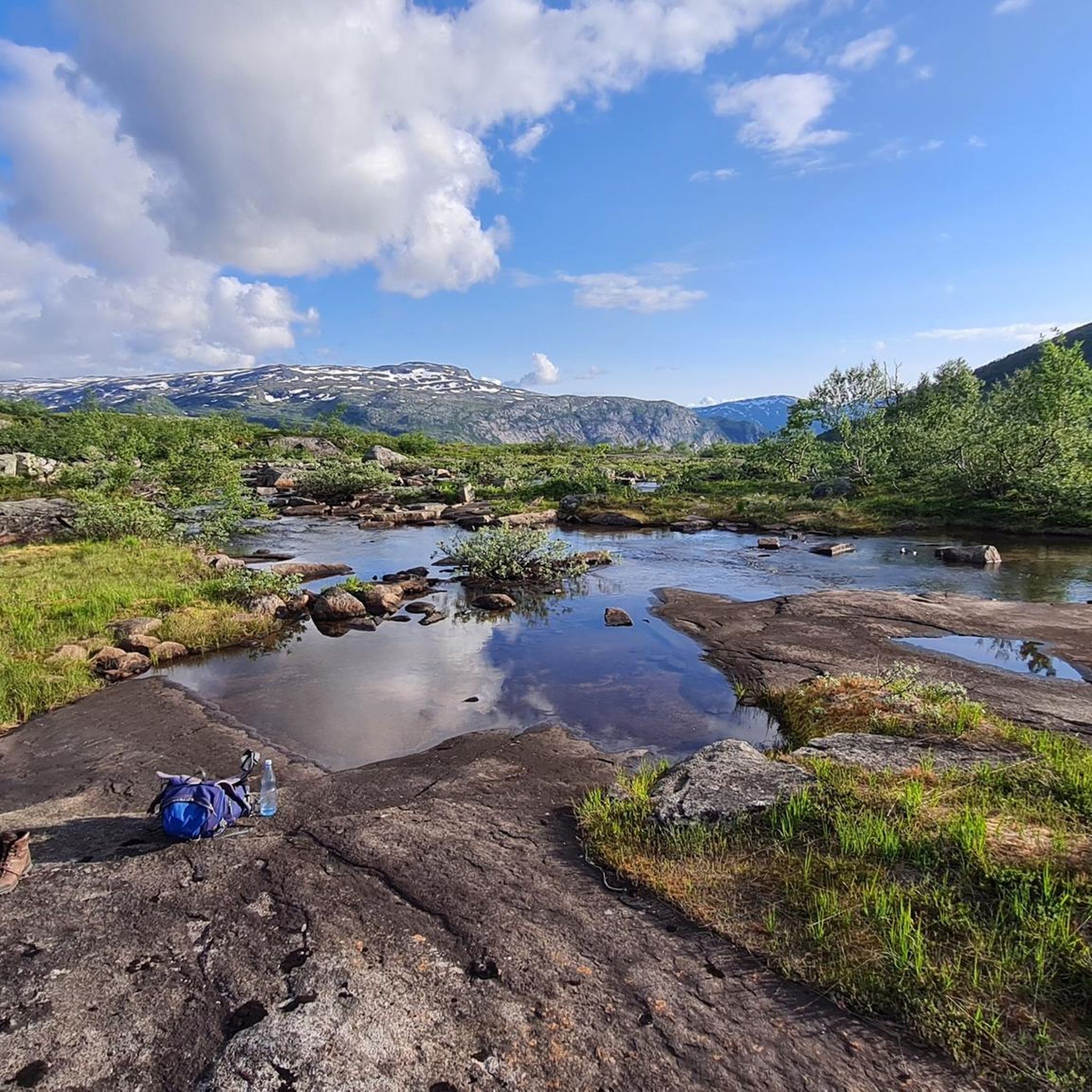
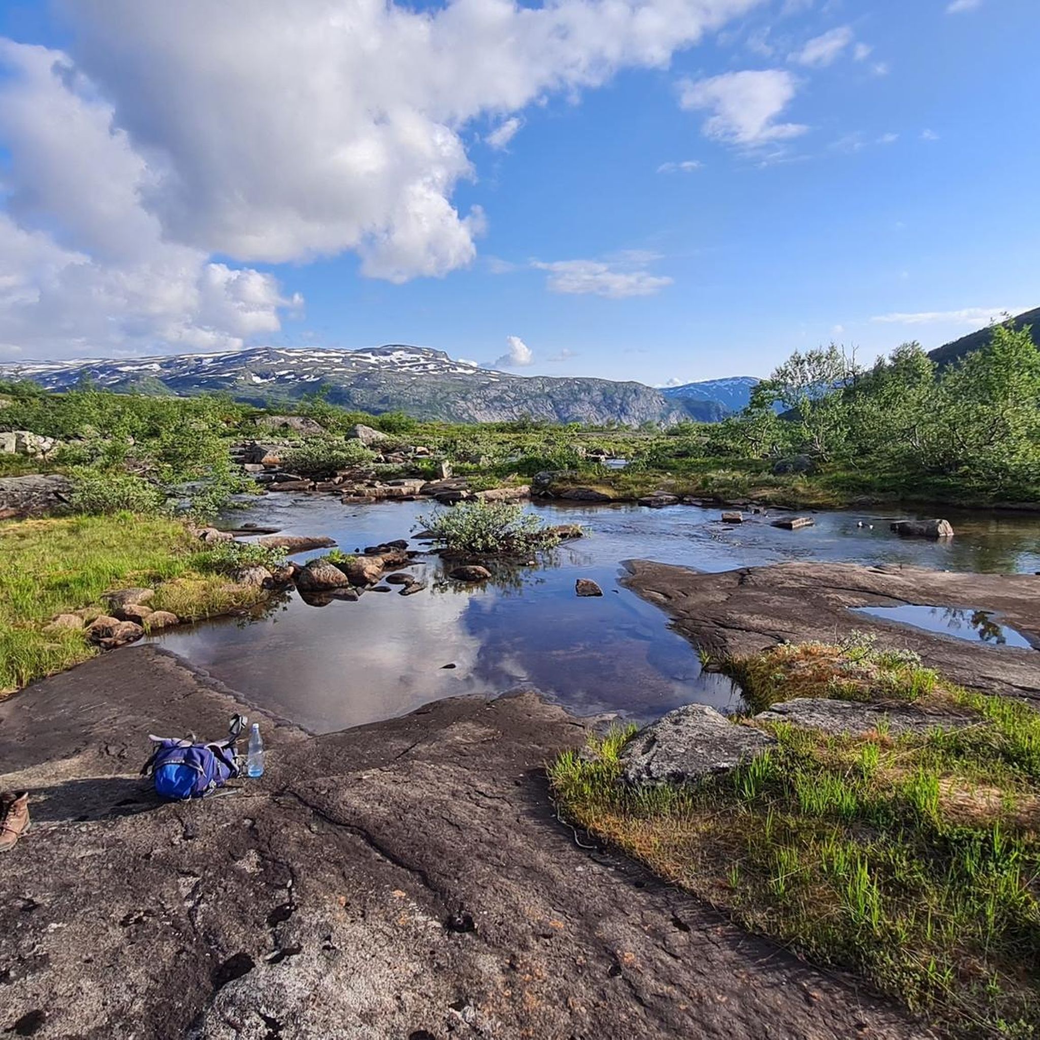
쉬운 편에서 중간 정도의 하이킹입니다. 초반에는 (빨간색으로 표시된) 길이 잘 보입니다. 끝으로 갈수록 '돌탑'에 꼭 주의하세요. 9월 초에는 길이 매우 질퍽했습니다. 날씨가 좋을 때 강력 추천합니다.
0
0

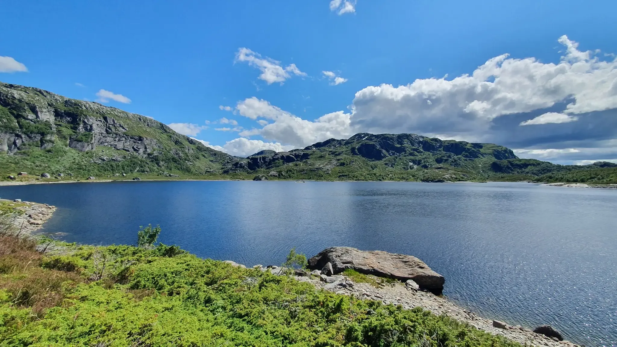
이 봉우리는 다양한 지형을 통과하는 쉬운 하이킹을 통해 접근할 수 있습니다. 장엄한 풍경의 중심부에 장엄하게 서 있으며, 360도로 펼쳐진 먼 곳까지 이어집니다. 정상에서는 호수, 푸른 언덕, 그리고 멀리 보이는 거칠고 험준한 산들의 숨막히는 전경을 즐길 수 있습니다.
0
0

Perched dramatically 700 meters above Lake Ringedalsvatnet in Norway, Trolltunga, or "Troll's Tongue," is a breathtaking rock formation that juts horizontally out of the mountainside. This iconic destination rewards adventurous hikers with unparalleled panoramic views of the stunning Hardangerfjord region. The challenging trek to reach Trolltunga winds through diverse terrain, including rocky paths, lush vegetation, and alongside cascading waterfalls, making it an unforgettable experience for those who dare to undertake it. Here are five tips for traveling to Trolltunga: * Prepare for a long and strenuous hike: The roundtrip hike to Trolltunga is approximately 28 kilometers (17 miles) and can take 10-12 hours, with significant elevation gain. Ensure you are in good physical condition and train beforehand. * Start early in the morning: To avoid hiking in the dark and to have ample time, begin your trek as early as possible, especially during shorter daylight hours. Check sunrise and sunset times before you go. * Wear appropriate hiking gear: Sturdy hiking boots with ankle support are essential. Dress in layers as weather conditions in the mountains can change rapidly. Bring waterproof and windproof outerwear. * Pack sufficient food, water, and navigation tools: Carry plenty of high-energy snacks and at least 3-4 liters of water per person. Bring a map, compass, or GPS device, and ensure you know how to use them. While the trail is generally well-marked, it's crucial to be prepared. * Check the weather forecast and trail conditions: Before your hike, thoroughly check the weather forecast for the area. Be aware of potential hazards and trail closures due to weather or other factors. Mountain weather can be unpredictable, so be prepared for changes.
3
0

Bondhusbreen is a stunning tributary glacier of the Folgefonna Icefield. Nestled in Kvinnherad, this glacier is best viewed from Bondhusvatnet, a serene lake reflecting its beauty.
0
1

There are a couple of detours here for magical viewpoints across the fjord and to the mountains. Ringedalsvatnet sparkles below on a good day and mighty Mosaskornuten rises high on the opposite side.
0
0

Even in July it was still so cold that I wore long sleeves on my legs and arms and a thermal vest was a must. And you are not as lonely here as in other parts of Norway...
2
0

The Trolltunga is a unique rock formation that promises you breathtaking photos. But be careful, there is a depth of around 700 meters around you.
3
3

The dam was built between 1909 and 1918 for the Tyssedal hydroelectric power station. When completed in 1918, it was one of the largest gravity dams in Europe (222 mil. m³). Ringedalsvatnet now serves as a reservoir for the Oksla hydroelectric power station in Sørfjorden. The lake has a capacity of 426 mil. m³ and the power plant produces approx. 900 GWh per year.
3
0
오다 주변에서 가장 인기 있는 경로
오다 주변에서 가장 인기 있는 명소


더 살펴보기
이 가이드를 통해 오다 주변의 더 놀라운 정상들을 확인해보세요:
