이르쉬에서 가장 멋진 8개의 산 정상
이르쉬의 산 정상에 오르면 이 지역의 아름다운 모습을 제대로 구경할 수 있어요. 다만, 8
곳이나 되는 산 정상 중에서 어떤 곳을 가야 할 지 고민된다는 게 문제죠. 이르쉬에서 가장 멋진 산 정상을 살펴본 후에 마음에 드는 산 정상을 다음 모험 계획에 추가해보세요.
마지막 업데이트: 8월 20, 2026

마우네르트 정상 십자가 (해발 416m)
하이라이트 • 정상
번역자 Google •
팁에 의해

이런 장소를 발견하려면 지금 가입하세요
최고의 싱글 트랙, 봉우리 및 다양한 흥미로운 야외 장소에 대한 추천을 받아보세요.
무료 회원 가입

펠젠베크의 최고점 (569m)
하이라이트 • 정상
번역자 Google •
팁에 의해

호스테투름 (자르가우 최고점)
하이라이트 • 전망대
번역자 Google •
팁에 의해

무료로 가입하여 이르쉬 주변의 더 많은 봉우리를 발견하세요.
무료 회원 가입
이미 komoot 계정이 있나요?
오늘 무료 계정으로 시작하세요
다음 모험이 기다리고 있어요.
로그인 또는 가입하기

커뮤니티 팁

탑의 오른쪽 계단을 이용하여 올라가세요. 문을 세게 당기세요. 때때로 문이 잘 열리지 않습니다.
0
0

아델스펠젠은 로스하임-발트회츠바흐 근처 Saar-Hunsrück-Steig의 꿈길 Felsenweg의 하이라이트입니다. 이곳은 종종 로프 지원을 받는 등반 구간으로 사용되는 인상적인 규암 암석 지형을 제공합니다. 13.7km 길이의 중간 난이도 코스는 그림 같은 봘츠바흐 계곡을 통과하며, 멋진 전망, 크네이프 시설, 그리고 "로마 성"을 제공합니다.
1
0

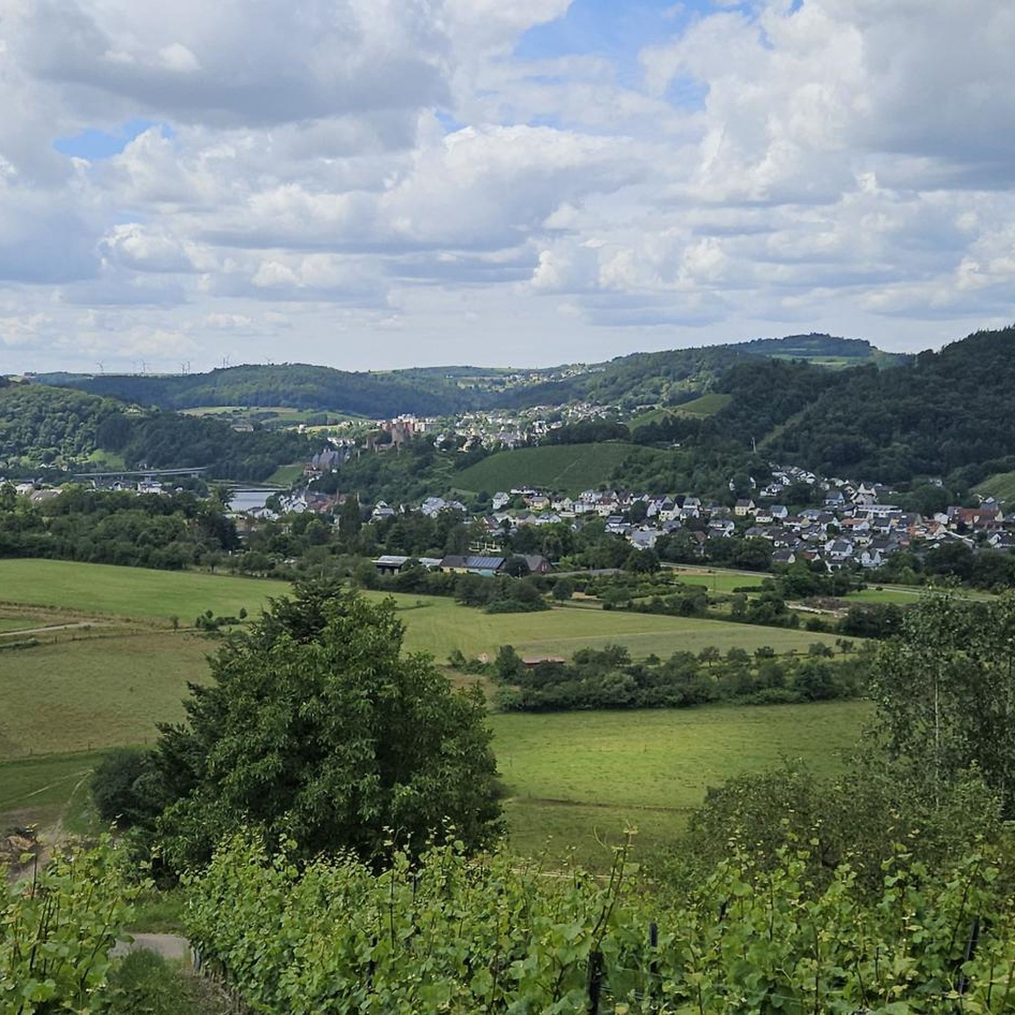
Great view of the beautiful Saar Valley
0
0
A great view of the beautiful Saar Valley
0
0

The Hosteturm was built in 1911-1912 as a water tank and observation tower on the highest elevation between the Saar and Moselle at 435 mm above sea level under District Administrator Karl Brügmann. The construction sealed the end of the village well for 40 communities, because since then the tower has secured the water supply of the Saargau. Construction of the elevated tank began on June 1, 1911. It was completed and connected to the grid in December of the same year. The construction costs amounted to 1,200,000 marks. On January 13, 1912, water was pumped to ten municipalities, including Kahren and Niederleuken. 2 years later, 41 communities up to today's Saarland were supplied. The water first came from the district waterworks near Wawern, but now it comes from the Mannebach valley via a 4.5 km long delivery line. Every year, 240,000 cubic meters of water flow through the elevated tank. The tower is now the property of the Saar - Obermosel water supply.
1
0

Completely inconspicuous, but a great feeling to have made the ascent overall!
1
0

Is very easy to walk, ropes are also available if necessary.
0
0

A long way to get there. From then on the tour was pretty easy to walk.
1
0
이르쉬 주변에서 가장 인기 있는 명소


더 살펴보기
이 가이드를 통해 이르쉬 주변의 더 놀라운 정상들을 확인해보세요:
