위둠에서 가장 멋진 20개의 호수
위둠에서 가장 멋진 호수를 방문하고 싶나요? 호숫가의 고요한 분위기를 느끼거나 날씨가 따뜻한 날 호수에 발을 살짝 담글 수 있다면 얼마나 좋을까요? Komoot 커뮤니티가 추천한 위둠의 주요 호수를 아래에서 살펴보고, 다음 모험 때 직접 찾아가보세요!
마지막 업데이트: 8월 20, 2026
베데카스펠의 그로세스 메어
하이라이트 • 호수
번역자 Google •
팁에 의해

3-메레-베크의 그로서 메어를 따라 펼쳐진 경치 좋은 구간
하이라이트 (구간) • 트레일
It's always a change to use muscle power to pull yourself to …
번역자 Google •
팁에 의해

이런 장소를 발견하려면 지금 가입하세요
최고의 싱글 트랙, 봉우리 및 다양한 흥미로운 야외 장소에 대한 추천을 받아보세요.
무료 회원 가입
레이회른 자연 보호구역 조류 관찰 오두막
하이라이트 • 산장
번역자 Google •
팁에 의해

Leysiel 수문 및 저수지
하이라이트 • 구조물
번역문 보기
팁에 의해

Großes Meer를 따라가는 자전거길
하이라이트 • 자전거 도로
번역자 Google •
팁에 의해

무료로 가입하여 위둠 주변의 더 많은 호수를 발견하세요.
무료 회원 가입
이미 komoot 계정이 있나요?
오늘 무료 계정으로 시작하세요
다음 모험이 기다리고 있어요.
로그인 또는 가입하기
커뮤니티 팁

Leysiel 차단벽은 여러 기능을 수행합니다: 너비 30미터의 수문은 Greetsiel 및 Leybuchtsiel의 시설 배수 기능을 지원합니다. 1991년부터 차단벽은 수문 및 갑문과 함께 Leybucht 해안 보호 조치의 핵심인 "Leyhörn" 제방 코의 종결 구조물을 형성합니다. https://www.nlwkn.niedersachsen.de/startseite/hochwasser_kustenschutz/landeseigene_anlagen/sperrwerke/leysiel_sperrwerk/sperrwerk-leysiel-41344.html
0
0

⚓✨ The Leysiel barrier and the associated Leyhörn reservoir form an impressive ensemble of modern coastal protection and valuable natural area on the western edge of the Leybucht.
2
0

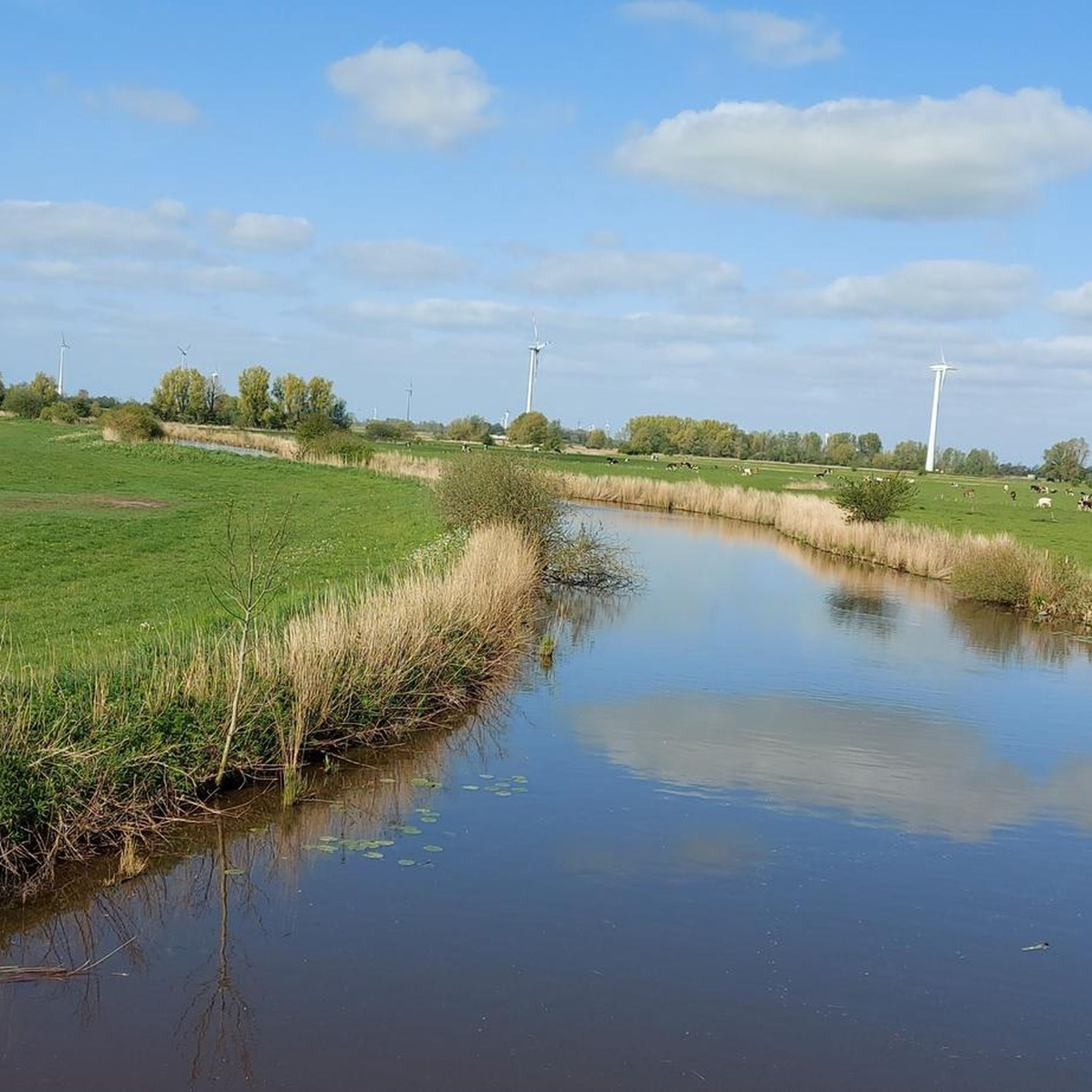
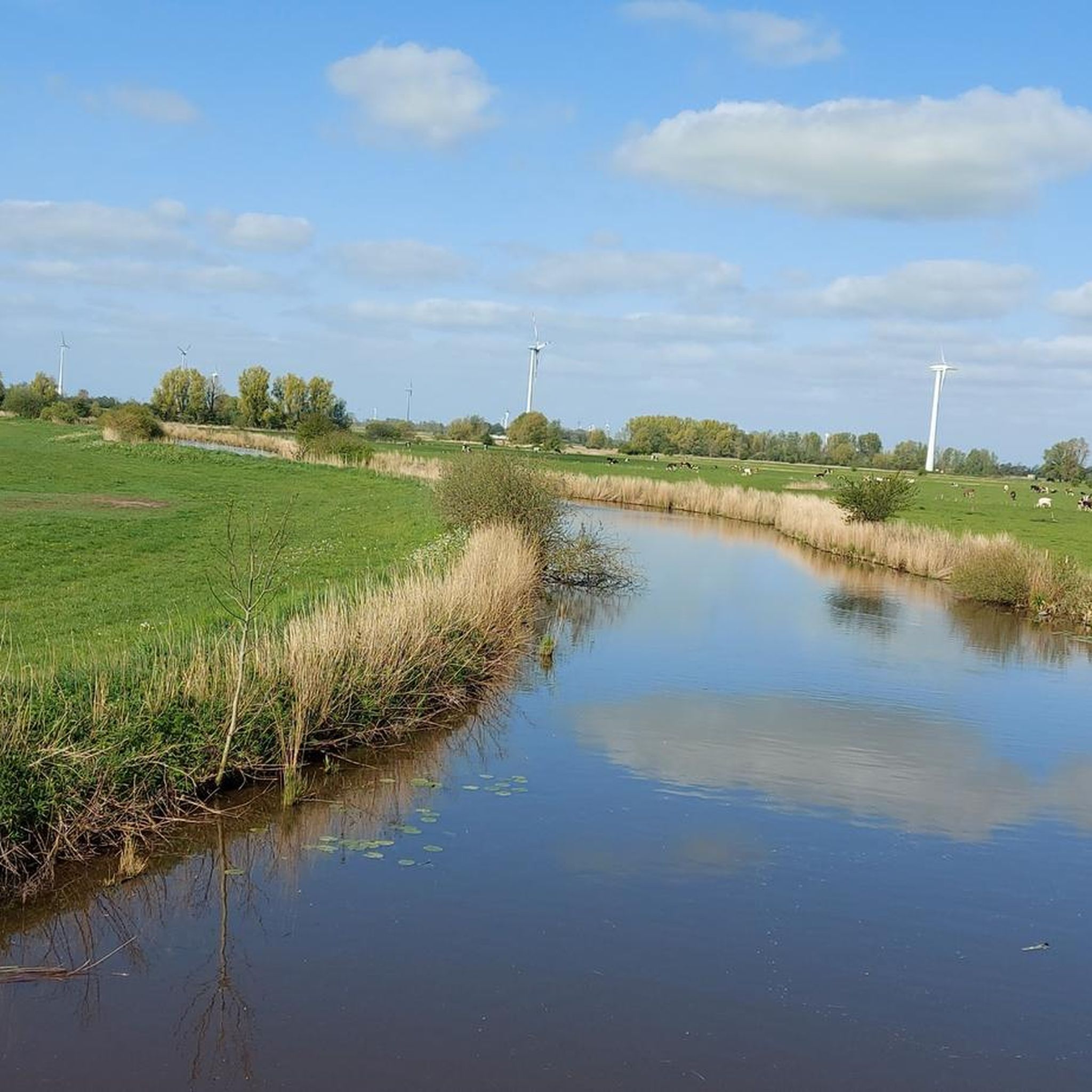
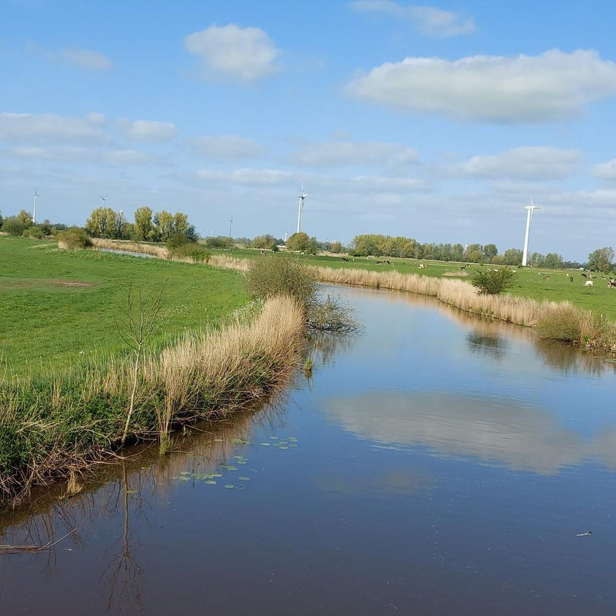
The Große Meer is a naturally formed fen lake and is located between Aurich and Emden near Bedekaspel in Südbrookmerland, on the edge of the East Frisian Geest in the transition to the Emsmarsch. With an open water surface of around 289 hectares, the lake is the fourth largest lake in Lower Saxony.
3
0

Nice way for cycling
3
0


The 646 hectare "Leyhörn" nature reserve protrudes as a nose-shaped 👃 bulge into the Lower Saxony Wadden Sea National Park and is of great importance as a flood-free, coastal 🐣 breeding and resting area with diverse biotope structures. The bottom line, however, is that we see a lot more 🐑 🐑 🐑 sheep here than 🦅🦆🦢🪶 birds 😅.
2
0

The Leyhörn is a nature reserve on the peninsula of the same name in the south of the Leybucht in the Lower Saxony municipality of Krummhörn in the Aurich district, which was created in 1991 as part of coastal protection measures. The nature reserve with the registration number NSG WE 220 is 646 hectares in size. A large part of the nature reserve is part of the EU bird sanctuary “Krummhörn”. To the south and southeast it partly borders on the “Krummhörn” landscape protection area. The area has been protected since December 3, 1994. The responsible lower nature conservation authority is the Aurich district. (Source: Wikipedia)
3
0

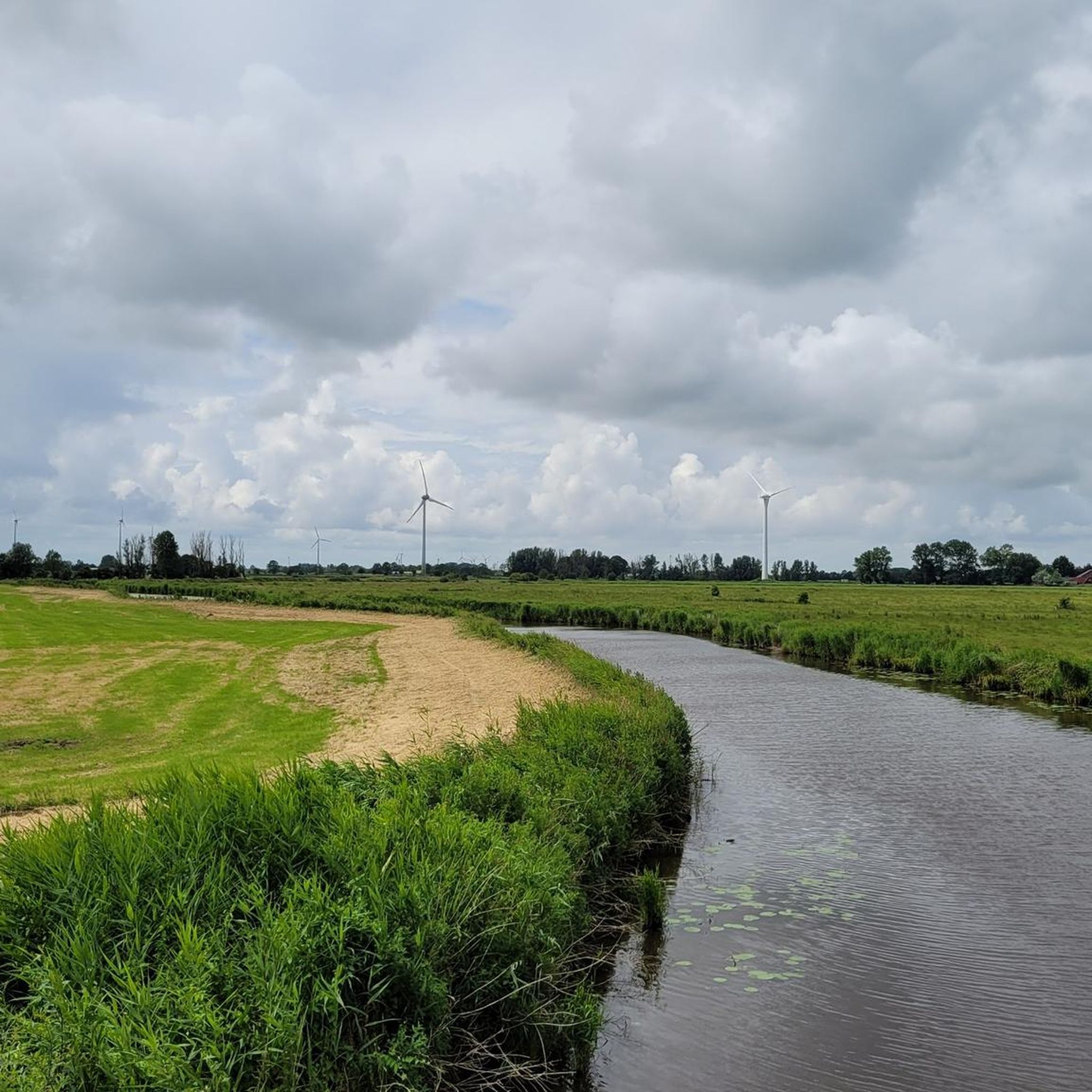
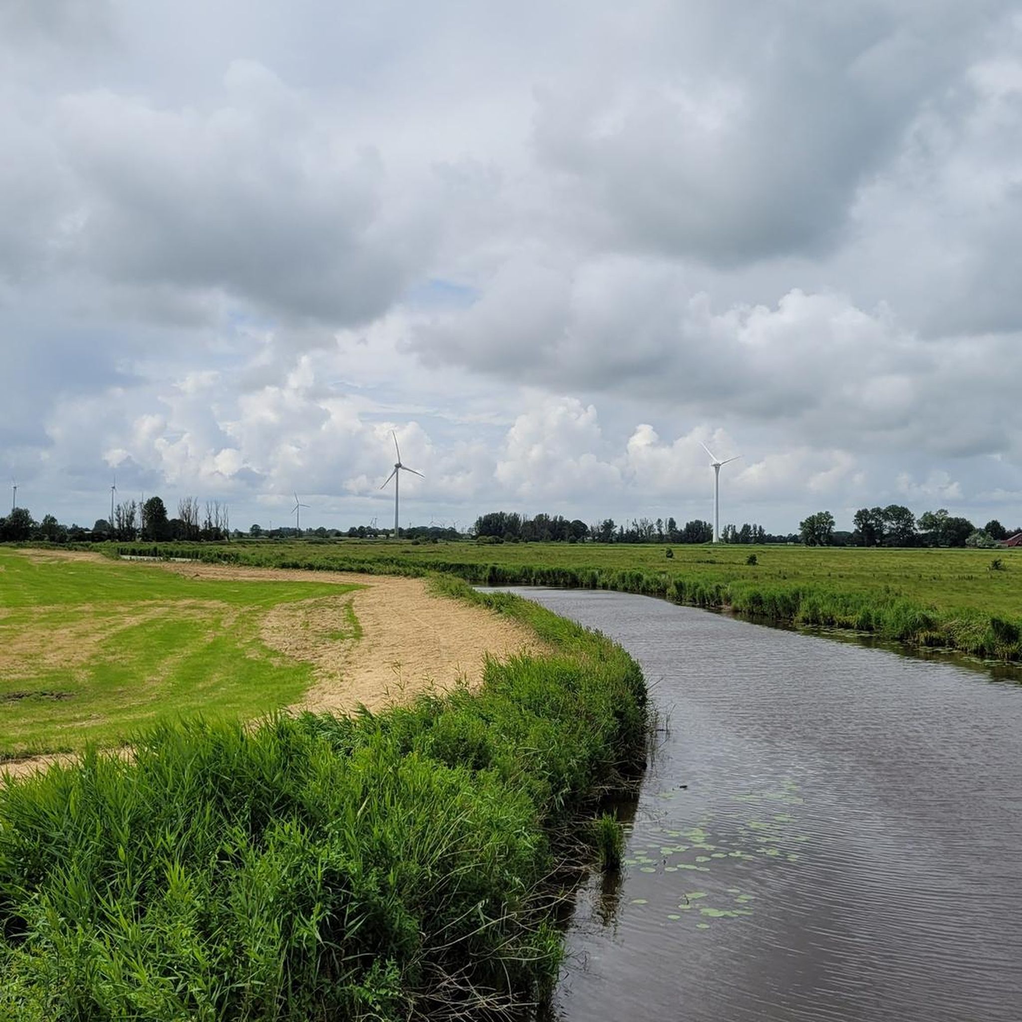
Beautiful bike path along the Great Sea.
3
0
위둠 주변에서 가장 인기 있는 명소


더 살펴보기
위둠 주변에서 완벽한 호수를 아직 못 찾으셨나요? 이 지역의 가이드를 확인하여 더 아름다운 장소를 찾아보세요.
