지에르도르프에서 가장 멋진 5개의 산 정상
지에르도르프의 산 정상에 오르면 이 지역의 아름다운 모습을 제대로 구경할 수 있어요. 다만, 5
곳이나 되는 산 정상 중에서 어떤 곳을 가야 할 지 고민된다는 게 문제죠. 지에르도르프에서 가장 멋진 산 정상을 살펴본 후에 마음에 드는 산 정상을 다음 모험 계획에 추가해보세요.
마지막 업데이트: 8월 19, 2026
만하르츠베르크의 피라미드
하이라이트 • 기념물
번역자 Google •
팁에 의해

만하르츠베르크 정상과 기념 십자가
하이라이트 • 정상
번역자 Google •
팁에 의해

이런 장소를 발견하려면 지금 가입하세요
최고의 싱글 트랙, 봉우리 및 다양한 흥미로운 야외 장소에 대한 추천을 받아보세요.
무료 회원 가입
판크라츠베르크 언덕 (Pankratzberg)
하이라이트 • 역사적 장소
번역자 Google •
팁에 의해

골드베르크 정상 십자가
하이라이트 • 정상
번역자 Google •
팁에 의해

골드베르크 정상 십자가
하이라이트 • 정상
Also a nice place for a rest!
You can drive a little further towards the cross! The last part is then challenging by bike!
번역자 Google •
팁에 의해
무료로 가입하여 지에르도르프 주변의 더 많은 봉우리를 발견하세요.
무료 회원 가입
이미 komoot 계정이 있나요?
오늘 무료 계정으로 시작하세요
다음 모험이 기다리고 있어요.
로그인 또는 가입하기

커뮤니티 팁

Burial mound on which a medieval manor house and later a chapel were built. Today, there is a fantastic view of the surrounding area.
0
0

The Manhartsberg region on the border between the Waldviertel and Weinviertel is a centuries-old settlement area with natural beauty, fertile landscapes, good infrastructure and a high quality of life. Around 11,200 people live in the seven communities on the ridge of the Manhartsberg (537 m), which forms the gateway to the Waldviertel, on 240 km2.
1
0

Great view of the Schmidatal, rare plants/animals.
0
0

The Manhartsberg is a low, elongated ridge in Lower Austria and as such forms the natural border between the Waldviertel and the Weinviertel. It culminates in the Manhartsberg of the same name at 537 m above sea level. A. and is the southern and eastern flank of the granite massif of the granite and gneiss plateau, the Austrian part of the Bohemian Massif. Source: Wikipedia
1
0

Unfortunately, the access road is signposted with an absolute driving ban. But I think I can vaguely remember that the additional sign that once existed and had fallen down in the meantime said "except for cyclists" 🤔😉😁
2
0

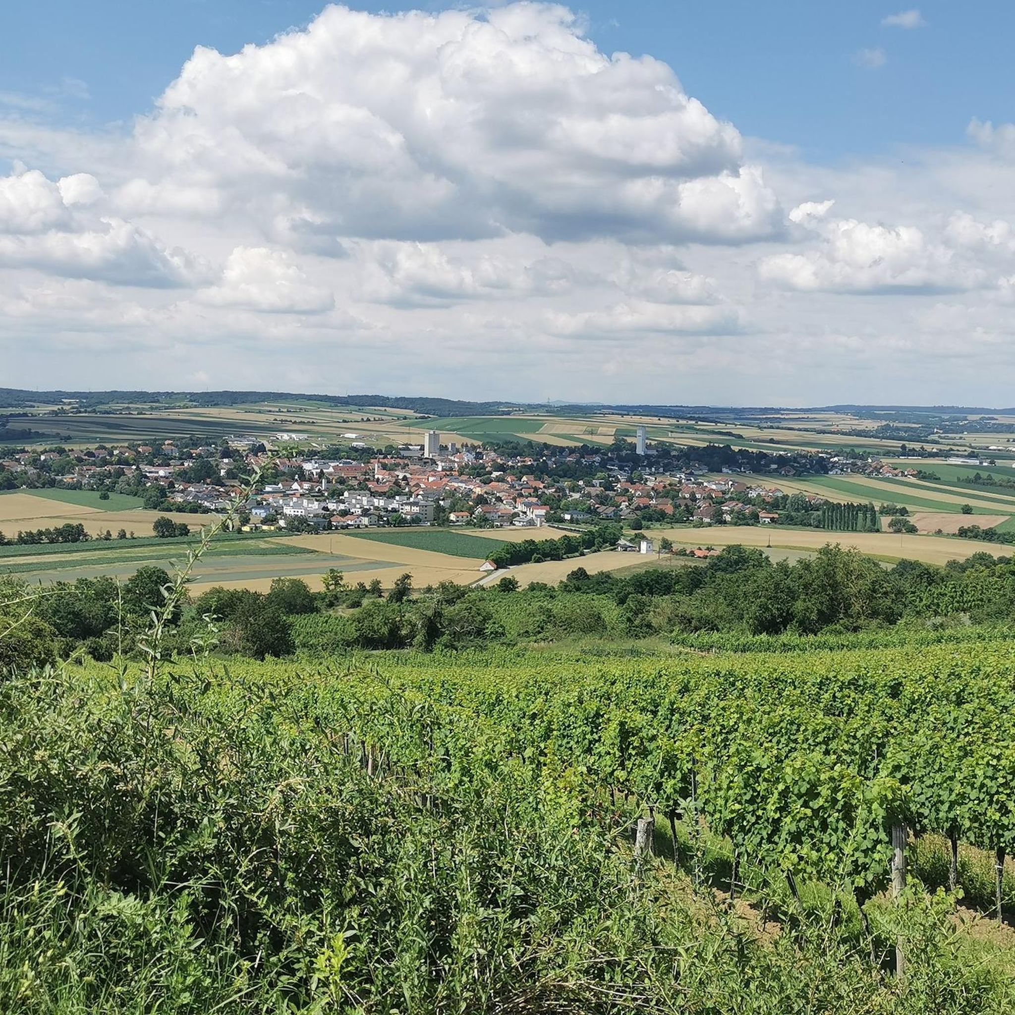
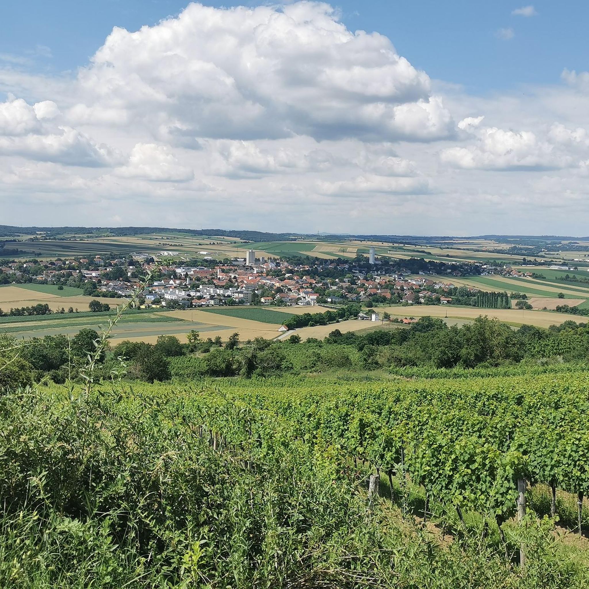
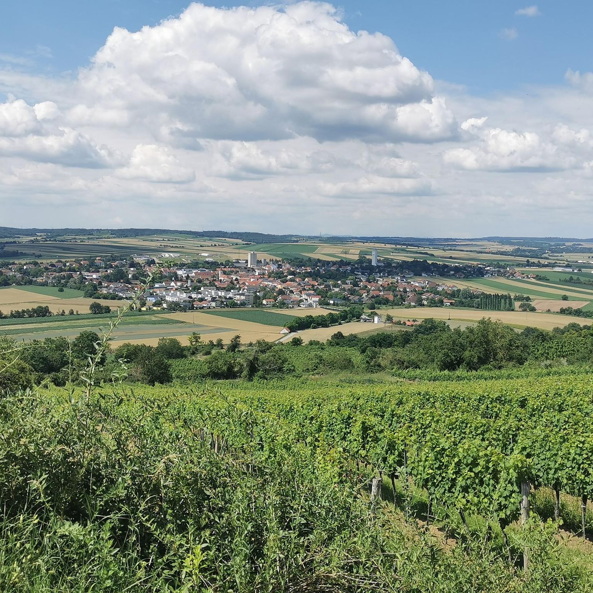
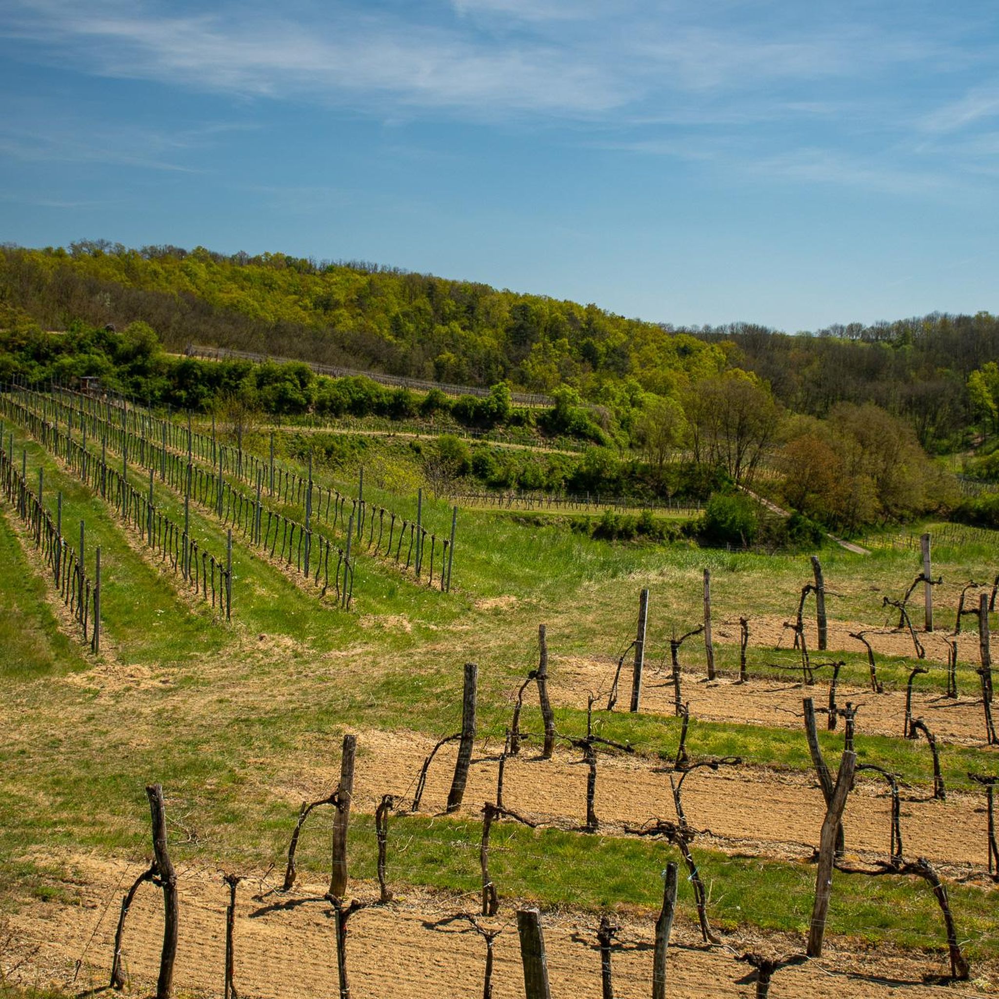
The Friedenskreuz am Goldberg (in some maps also Kogelberg) can only be reached on foot or by mountain bike. The last stretch goes through a small biotope, so it is better to leave the bike where it is. From the cross you have a wonderful view over the southern Weinviertel.
0
0

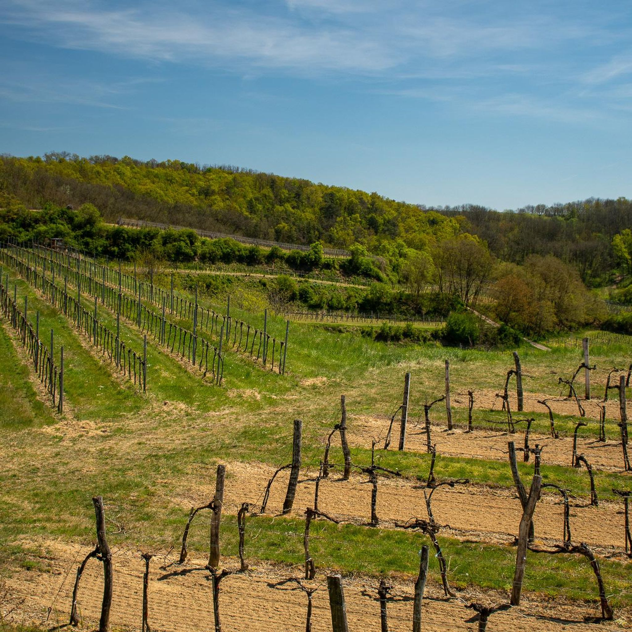
Not high but still a nice intermediate highlight and a nice photo motif
0
1

The Manhartsberg is a low, flat mountain ridge in Lower Austria. Its height is 537 m above sea level. A. It is the south and east flank of the granite massif of the granite and gneiss plateau, the Austrian part of the Bohemian mass. The ridge extends from the Thaya to the Wagram and is partially covered with tertiary layers (sands). This mountain range continues in the Moravian region to the Znojmo region. As the eastern edge of the Bohemian massif, the Manhartsberg forms the "boundary stone" for the quarter above the Manhartsberg (Waldviertel) and the quarter below the Manhartsberg (Weinviertel). Its west side was formed by the kamp. The western slopes of Manhartsberg are part of the Kamptal-Schönberg Nature Park. Above Maissau there are rich amethyst deposits. Near its highest point there are still some remains of a radio interference from the Second World War with the code name Zangendorf 4. The state road 1238 leads over the Manhartsberg, but it is a dirt road in the area of the Manhartsberg. The Manhartsberg is considered to be the border between the Waldviertel and Weinviertel. The Vicariate of the Archdiocese of Vienna corresponding to the Weinviertel is still called "under the Manhartsberg". Source: Wikipedia
3
0
지에르도르프 주변에서 가장 인기 있는 명소


더 살펴보기
이 가이드를 통해 지에르도르프 주변의 더 놀라운 정상들을 확인해보세요:
