안도라에서 가장 멋진 7개의 협곡
안도라에 있는 멋진 협곡 7
개를 소개해드릴게요. 아래에서 멋진 협곡을 살펴보고, 다음 안도라 모험에 도움이 될 만한 사진, 팁, 추가 정보를 알아보세요.
마지막 업데이트: 8월 19, 2026
발 델 마드리우-페라피타-클라로르 계곡
하이라이트 • 협곡
번역자 Google •
팁에 의해

발 다 인클레스 계곡
하이라이트 • 협곡
번역자 Google •
팁에 의해

이런 장소를 발견하려면 지금 가입하세요
최고의 싱글 트랙, 봉우리 및 다양한 흥미로운 야외 장소에 대한 추천을 받아보세요.
무료 회원 가입

마드리우-페라피타-클라로르 계곡
하이라이트 • 협곡
번역자 Google •
팁에 의해


바랑코 리우 세투리아 산책로
하이라이트 (구간) • 트레일
Caution is also required as this …
번역자 Google •
팁에 의해

오늘 무료 계정으로 시작하세요
다음 모험이 기다리고 있어요.
로그인 또는 가입하기
안도라 주변 인기 장소

리스본으로 가는 길 – 알프스, 피레네, 피코스 데 에우로파를 바이크 패킹

피레네 교차 - 호트 루트 피레네컬렉션: 피레네 교차 - 호트 루트 피레네
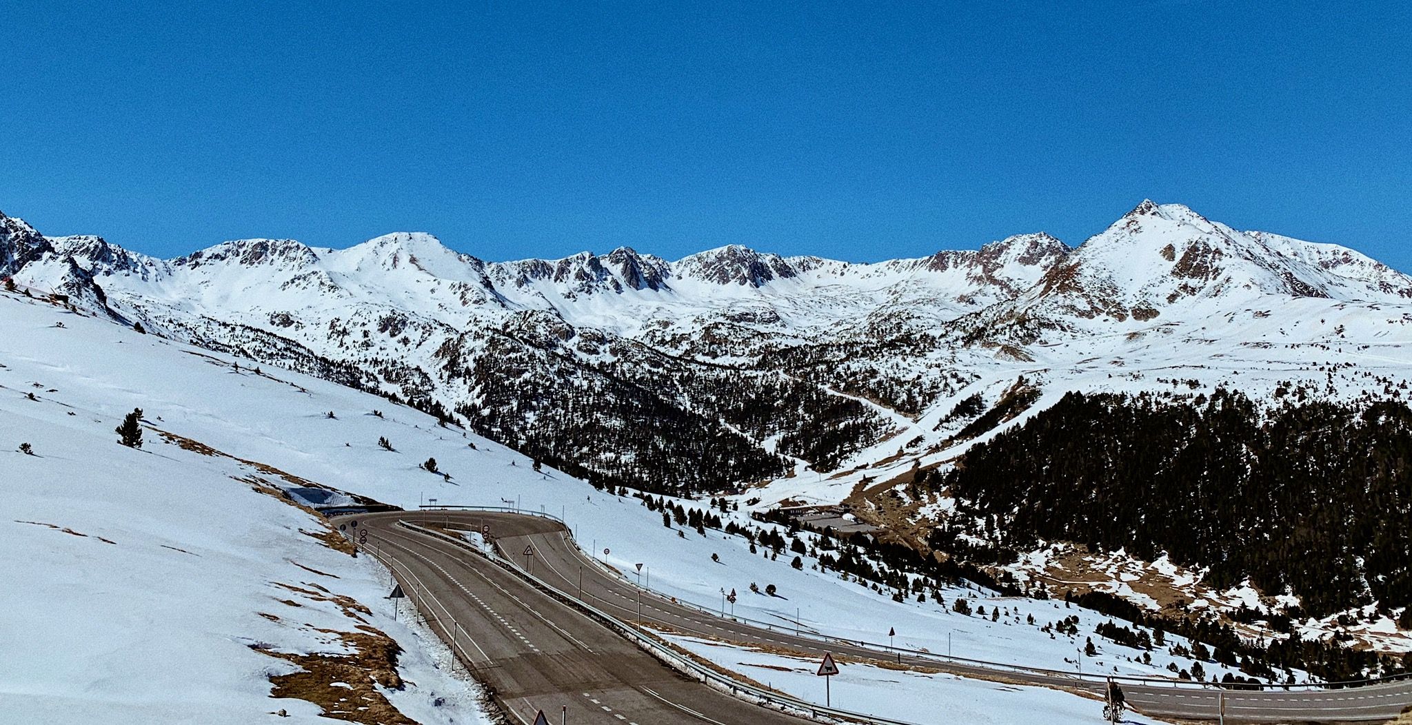
피레네 산맥을 타고 이동 — 발렌시아에서 툴루즈까지
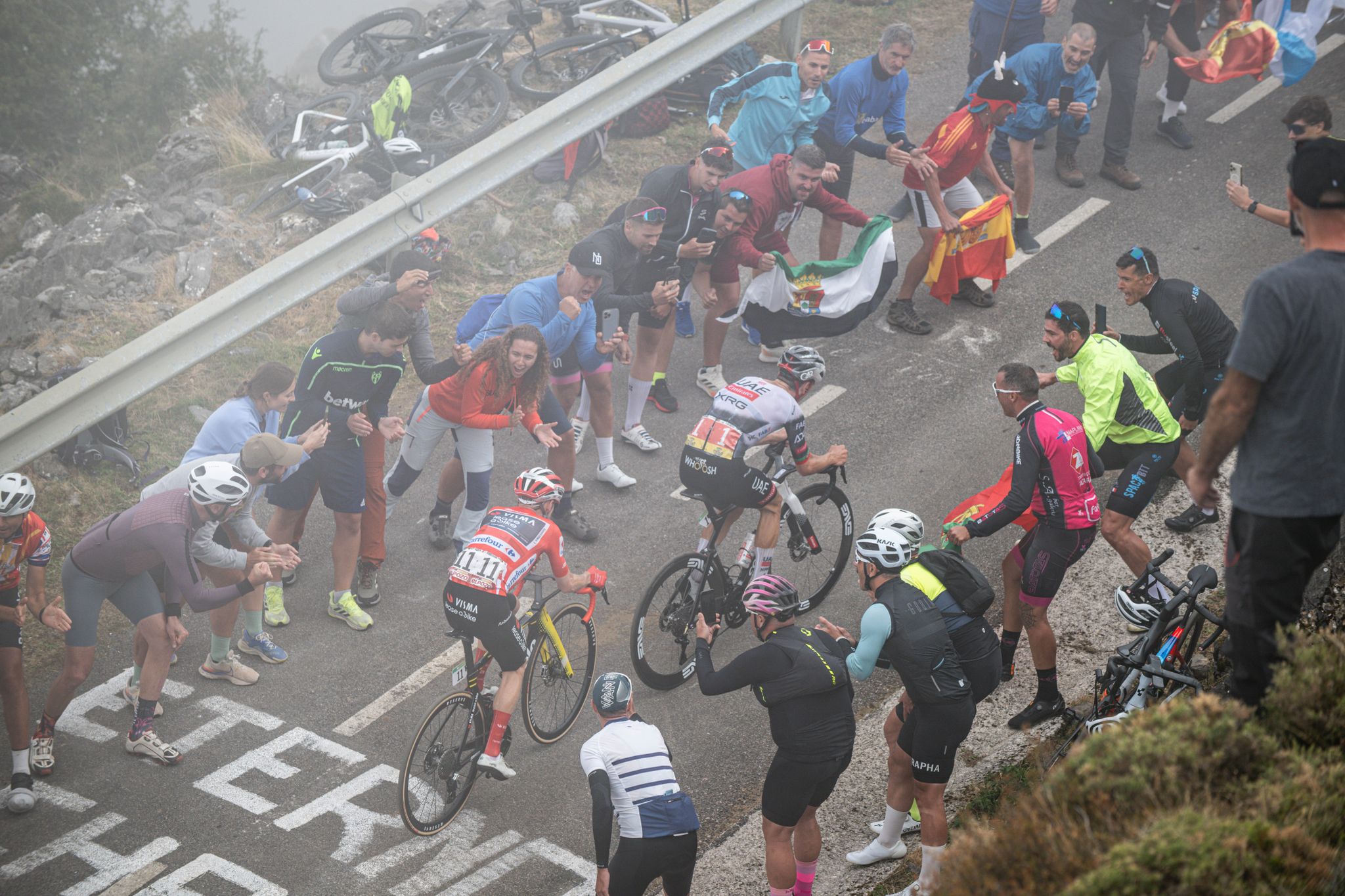
Mythical Passes and Sections of La Vuelta

La Vuelta 26 — All Official Stages
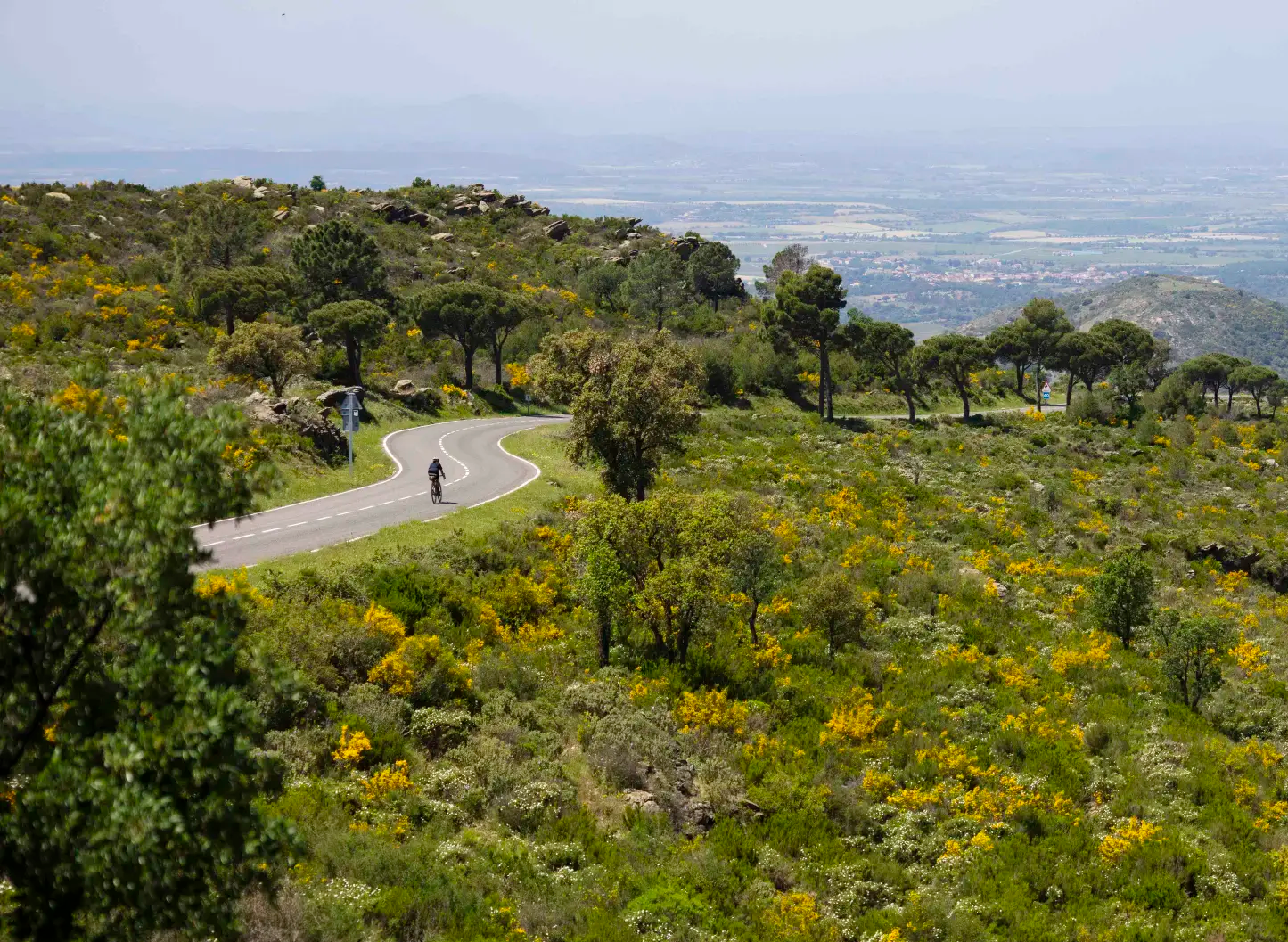
Puertos y Carreteras — Cataluña Sobre Ruedas

야생 꼭대기: 카탈로니아에서 아리얀 - 헥사트렉, 동피레네 산맥

피레네 트레일 along - GR 11 카탈로니아 및 안도라
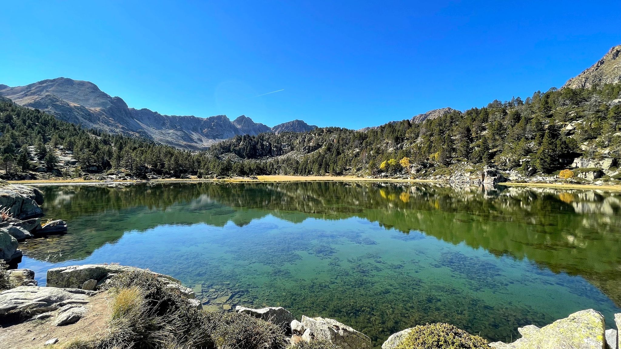
포리로이에 화행 - 바부오 아한니를 (GR 7)
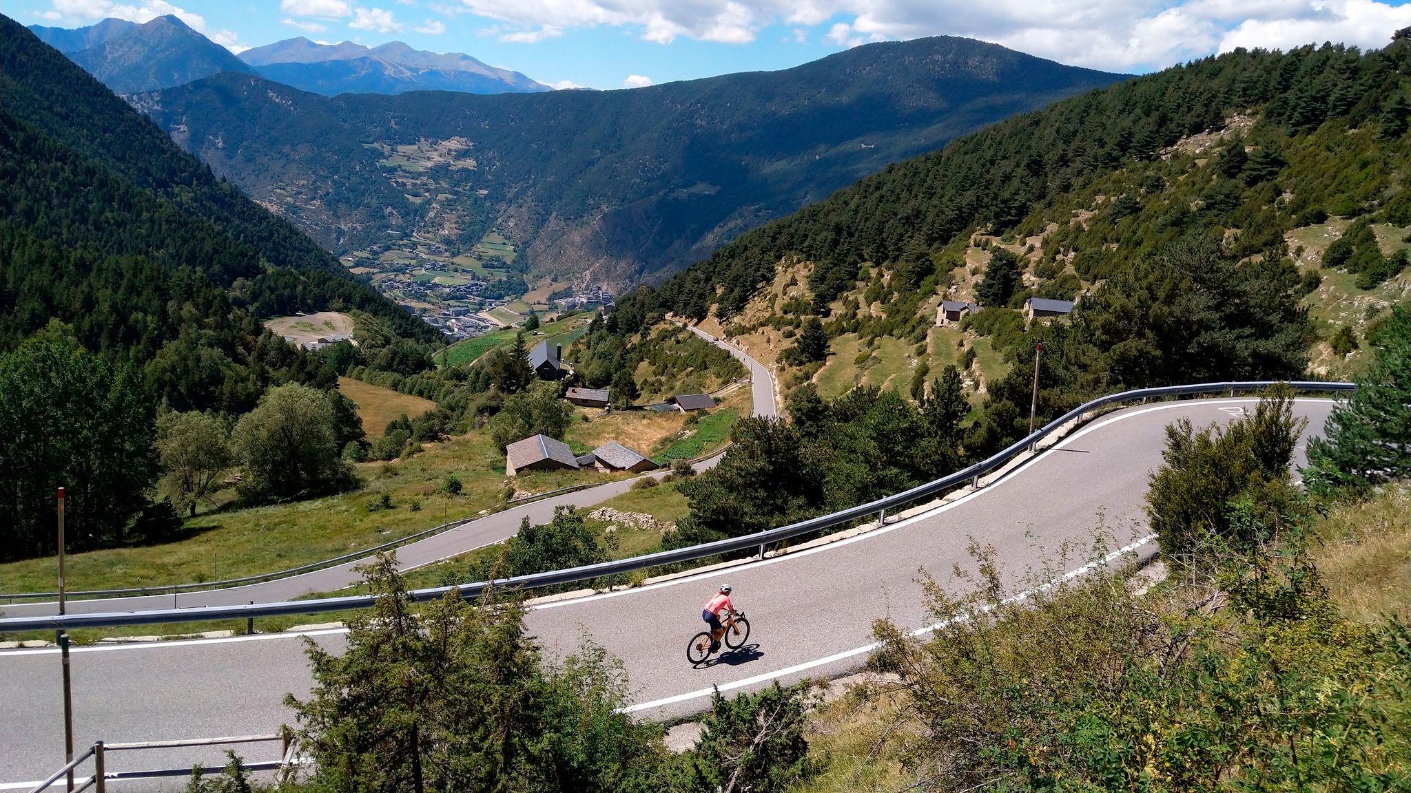
계곡에서 정상까지: 안도라의 신화적인 도로 통행료
안도라의 다른 모험


커뮤니티 팁


A trail that is sometimes uncyclable and even dangerous, running along the Setúria River ravine. The trail connects Andorra with the Catalan High Pyrenees. Caution is also required as this is a popular hiking area. The trail, however, is spectacular, although it takes a while to walk. After a couple of kilometers or so, the trail connects with a wider, better path.
0
0

The splendor of the Pyrenean peaks surrounds a vibrant landscape of the Vall d'Incles. With many starting points to explore the surrounding peaks of Siscaró, Pic d'Anrodat and Pic de la Coma de Varilles.
1
0

Beautiful valley less known than the Sorteny valley and which is a valley that opens towards the north in the direction of Port de Siguer.
0
0
A small wooden bridge crosses the Vall del Riu river. It's not much more than a stream at this altitude, but it can be very powerful in the rainy season in early spring when the snow melts.
0
0

The Vall del Madriu-Perafita-Claror was added to the UNESCO World Heritage list as a cultural landscape in 2004. According to UNESCO, it gives an impression of how people have used the scarce resources of the High Pyrenees over the last millennia to create a sustainable living environment that is in harmony with the mountain landscape. The protected area covers an area of 4,247 hectares in the municipalities of Encamp, Escaldes-Engordany, Andorra la Vella and Sant Julià de Lòria. There are two natural parks in Andorra. The Parc Natural de la Vall de Sortey has an area of 1080 hectares and is located in the municipality of Ordino. The Parc Natural Comunal de les Valls del Comapedrosa, which belongs to the municipality of La Massana, covers the Comapedrosa mountain range and is 1542 hectares in size. https://de.wikipedia.org/wiki/Andorra
2
0

There is a crevice in the rock that you hike through, really worth seeing
0
0


더 살펴보기
이 지역에서 모든 것을 발견하셨나요? 다음 모험을 위해 안도라의 추가 협곡을 확인해보세요:
