경로

플래너

기능

업데이트

App

로그인 또는 가입

앱 다운로드

로그인 또는 가입

경로
Places to see
Caves
스위스
동부 스위스
세인트 갈렌
Sarganserland

발렌슈타트

Top 13 Caves 발렌슈타트 주변


다음 모험 때 발렌슈타트에 있는 동굴을 방문하고 싶나요? 그렇다면 발렌슈타트에서 가장 멋진 동굴 13
개를 아래에서 살펴보세요. 다른 회원들이 경험을 바탕으로 추천한 콘텐츠인 만큼 믿을 수 있는 정보이니 마음에 드는 동굴이 있다면 다음 모험 계획에 추가해보세요.

마지막 업데이트: 6월 26, 2026

투어 폭포

하이라이트 • 폭포

Just a few minutes from the post bus stop in Unterwasser, it's accessible on a flat path. A beautiful gorge awaits. Along the way, there's a barbecue area on the banks of the Säntisthur.

번역자 Google •

에 의해

하이킹 보기

휴대폰으로 전송

저장

빌덴만리스로흐 동굴

하이라이트 • 동굴

The cave is located on the northern slope of the Seluns (one of the seven Churfirsten) at an altitude of around 1628 m. It has a measured length of 192.1 m and a height difference of 2.4 m. The first few meters of the cave are accessible with dry feet, but the further you go, the more water there is in the passage. At the back, the water is around 20 centimeters high. The cave can be reached either on foot, with the Selunbahn or from Alp Sellamatt.

번역자 Google •

에 의해

저장

이런 장소를 발견하려면 지금 가입하세요

최고의 싱글 트랙, 봉우리 및 다양한 흥미로운 야외 장소에 대한 추천을 받아보세요.

무료 회원 가입

제렌바흐폭포와 린켈레

하이라이트 (구간) • 폭포

A short hiking trail from Betlis leads to the gigantic Seerenbach Falls, which at a height of 600 meters are among the largest waterfalls in Europe. The Seerenbach Falls can be seen from afar, thundering down the vertical rock face in three stages.
Gigantic spectacle of nature
The best view of all three levels of the waterfall is from the chapel in Betlis. The middle of the three cascades is one of the highest free-falling waterfalls in the world with a height of 305 meters.
Refreshing destination
Coming from Weesen or Quinten, the Seerenbach Falls with the source of the Rin are a special highlight of every hike. It is a short hike from the picturesque village of Betlis to stand on the viewing platform at the foot of the third cascade and watch the roaring waterfalls up close. In warm weather, they provide cool refreshment. In spring after the snow has melted or after heavy rainfall, the Seerenbach Falls are particularly impressive due to the large amounts of water.
Mystery source of Rin
Where the Seerenbach falls imposingly fall into the valley, they unite with the Rinquelle, one of the largest karst springs in Europe. At the beginning of the 20th century, researchers began to study the source of the Rin and the cave system that branched out for kilometers. There is a turnoff about three kilometers from the cave entrance. From here the water disappears inside the mountain. Where? That will probably remain a secret.


See also: Christian Steiner - cave diver at Lake Walen

번역자 Google •

에 의해

저장

자르간스의 곤첸 철광산

하이라이트 • 역사적 장소

Der Erzabbau ist ab 200 v. Chr. nachgewiesen. 1315 wurden Schmelzanlagen in Flums, Mels und Plons (heute Gemeinde Mels) urkundlich erwähnt, 1396 das Bergwerk selbst. Diese Urkunde berichtet, dass Graf Johann von Werdenberg-Sargans das Bergwerk an Herzog Leopold IV von Österreich verpfändet hat. Zu diesem Zeitpunkt muss also schon Abbau betrieben worden sein. Als Folge der Appenzellerkriege ging das Bergwerk 1406 an die Grafen von Toggenburg. 1483 kauften die Stände der Alten Eidgenossenschaft die Grafschaft Sargans. Damit wurde die Eidgenossenschaft von Eisenlieferungen aus dem Ausland unabhängiger. Im 16. Jahrhundert wurde das Bergwerk an Zürcher Eisenhändler als Erblehen vergeben. 1654 wurde der Landammann Good von Mels Inhaber des Bergwerks. Als Folge des Dreissigjährigen Krieges blühten die Geschäfte und das Bergwerk war sehr erfolgreich. 1767 verkauften die Nachfahren das Bergwerk an Johann Bernold aus Glarus und Hans Schulthess aus Zürich. Doch diese scheiterten. 1777 wurden Förderung und Verhüttung eingestellt. Die Anlagen zerfielen. Die Besitzrechte und Bergrechte verblieben aber bei der Familie Bernold, die sich inzwischen in Mels niedergelassen hatte.[1] Das Erz wurde in der Frühzeit bis mindestens ins 18. Jahrhundert mittels Feuersetzen abgebaut. Man brannte Holz direkt am Erzgang ab und durch das Erhitzen des Erzes und durch Abschrecken mit Wasser wurde das Gestein mürbe gemacht. Dieses liess sich anschliessend leichter fördern. Schätzungen zufolge wurden ca. 90'000 Tonnen Eisenerz in der Frühzeit gefördert. 1771 arbeiteten ca. 30 Knappen in der Grube.[2][3]
Das zwischen Quintnerkalk liegende Erzlager hatte eine Mächtigkeit von 0,5–2,2 m und erstreckte sich über eine Grundfläche von über 3 Quadratkilometer. Der Eisengehalt betrug ca. 50–60 %, es kamen auch reine Manganerze vor. Der tiefste Abbaupunkt lag auf etwa 350 m, während sich der höchstgelegene Abbaupunkt auf ca. 1400 m befand. In zeitlicher Reifenfolge wurden die Vorkommen zuerst von oben her ausgebeutet. Dabei wurde das Erz mittels hölzernen, ab 1839 eisernen, Hunden aus der Grube und nachfolgend per Schlitten auf steilen Wegen zu Tal befördert. Der Abbau der Grube I fand während der Frühzeit und der Blütezeit im 15. bis 19. Jahrhundert statt und endete 1918. In der 1842 wieder entdeckten Grube II und in der Grube IV wurden grössere Erzmengen gefördert (überwiegend 1764–1774). Die Grube III war ein eher unbedeutendes Grubenfeld.
1823 kaufte Johann Georg Neher das Eisenwerk Plons und das Bergwerk Gonzen von der Familie Bernold und erbaute 1825 in Plons einen Hochofen, welcher bis 1868 und später, in verbesserter Form, erneut von 1873 bis 1878 betrieben wurde.[3] Die Familie Neher förderte bis 1873 überwiegend über diese Gruben mittels Sprengstoff. In dieser Zeit wurden ca. 140'000 Tonnen Eisenerz gefördert. Der Abbau fand im Pfeilerbauverfahren ohne Holzeinbau und ohne Versatz statt, da das Hangende fest und tragfähig war. Die Verhüttung der Erze fand bis ca. 1900 vollständig in der Schweiz statt. Ab 1921 wurde der Grossteil der Erze ins deutsche Ruhrgebiet verkauft. Die reinen Manganerze, welche begehrt waren, wurden überwiegend in der Schweiz abgesetzt. 1917 wurde ca. 500 m nordöstlich von Grube I ein weitere Stollen, Nausgrube genannt, auf ca. 1000 m ü. M. in den Berg getrieben.
1919 wurde die Eisenbergwerk Gonzen AG gegründet, deren Abbaukonzession 2003 um weitere 80 Jahre verlängert wurde. Um 1920 beschäftigte das Werk 150 bis 180 Personen. 1942 förderten 380 Bergarbeiter 116'000 Tonnen Eisenerz. Von 1920 bis 1951 wurden die Erze mit einer 1800 Meter langen Luftseilbahn von Naus zur Aufbereitungsanlage im Tal abtransportiert.[4] Nach Errichtung des Grundstollens wurde diese zurückgebaut.[5] Vor der Errichtung der Seilbahn und des Grundstollens wurde das Erz mit Schlitten ins Tal befördert.
1949 wurde bei Vild im Tal mit dem Bau des Grundstollens begonnen, welcher nach 1700 m auf den Erzgang (Steillager) stiess. Nachfolgend wurde der Abbau über die Nausgrube von Naus (Scheitel) eingestellt. 1963 wurde ein Erdgasvorkommen in der Nähe der Fluewand-Verwerfung entdeckt, was die Kosten für die Sicherung der Arbeiter in die Höhe trieb. In diesem Zuge wurde auf elektronische Sprengung umgestellt und es erfolgte eine kontinuierliche Messung des Methangehalts der Luft.
Bis 1921 wurde das Eisenerz direkt in der Grube oder unmittelbar vor der Grube sortiert. Danach entstand in Malerva eine Reinigungs- und Sortieranlage. Die Anlage hatte einen Gleisanschluss mit dem Bahnhof Sargans der SBB. Sie diente auch als Talstation der Luftseilbahn. 1939 brannte sie komplett aus, wurde aber wiedererrichtet. Nach Fertigstellung des Grundstollens konnte das Eisenerz mit der Grubenbahn direkt nach Malerva transportiert werden. Dafür wurde eine Betonbrücke am Eingang des Bergwerkes gebaut. Bis 1954 wurden die Erze per Hand zumeist von Frauen sortiert. 1954 errichtete die Eisenbergwerk Gonzen AG eine automatische Sortieranlage. Die automatische Sortieranlage war in der Lage, Kalk mit einer Korngrösse bis 2 mm auszusortieren. Von Hand gelang das höchstens bis zu einer Korngrösse von 15 mm.
Nach Kriegsende sank die Jahresproduktion auf 18'000 Tonnen. Wegen sinkender Weltmarktpreise und der erhöhten Förderkosten (viele Stollen, starke Verwerfungen, geringe Mächtigkeit des Lagers) wurde der Abbau am 2. Mai 1966 eingestellt. Die Gesamtförderung betrug 2,7 Millionen Tonnen Eisenerz. Noch heute werden die Roteisensteinvorräte auf 5,5 Millionen Tonnen

에 의해

저장

마리엔 그로테 부흐홀츠 (방스)

하이라이트 • 종교적 장소

Grotto in Buchholz, Wangs
The Wangs Mariengrotto was created on the initiative of Pastor Künzle in 1912/1913, and the bell tower was added in 1916. A cross is located on the vaulted hill in front of the tower.
A Pietà (Mother of God with suffering Jesus) in the Nazarene style was placed in the grotto.
Text / Source: Roman Catholic Pastoral Unit of Central Sarganserland
kath-msl.ch/kirchgemeinde-wangs/kirchen-gebaeude-wangs/#:~:text=The parish church of St. Anthony was built in the, organ, votive candles, open during the day, bell ringing, site plan

번역자 Google •

에 의해

저장

무료로 가입하여 발렌슈타트 주변의 더 많은 동굴을 발견하세요.

무료 회원 가입

이미 komoot 계정이 있나요?

오늘 무료 계정으로 시작하세요

다음 모험이 기다리고 있어요.

로그인 또는 가입하기

발렌슈타트 주변 인기 장소

Lake and Alps Adventure – explore 100 dreamy places in our cycling region!
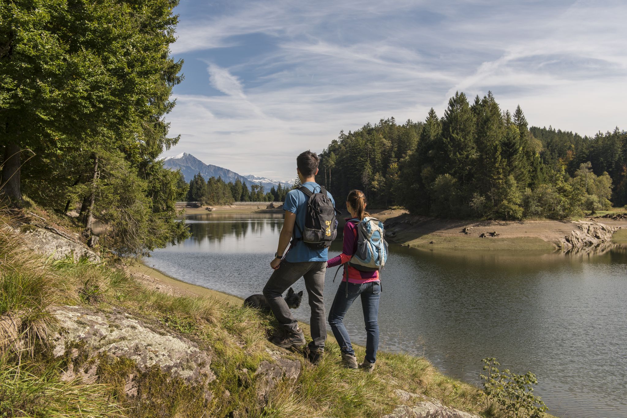
Summer in Eastern Switzerland – 10 hikes in Heidiland

Blue lakes, wide panoramas & autumnal splendour – hiking in Heidiland
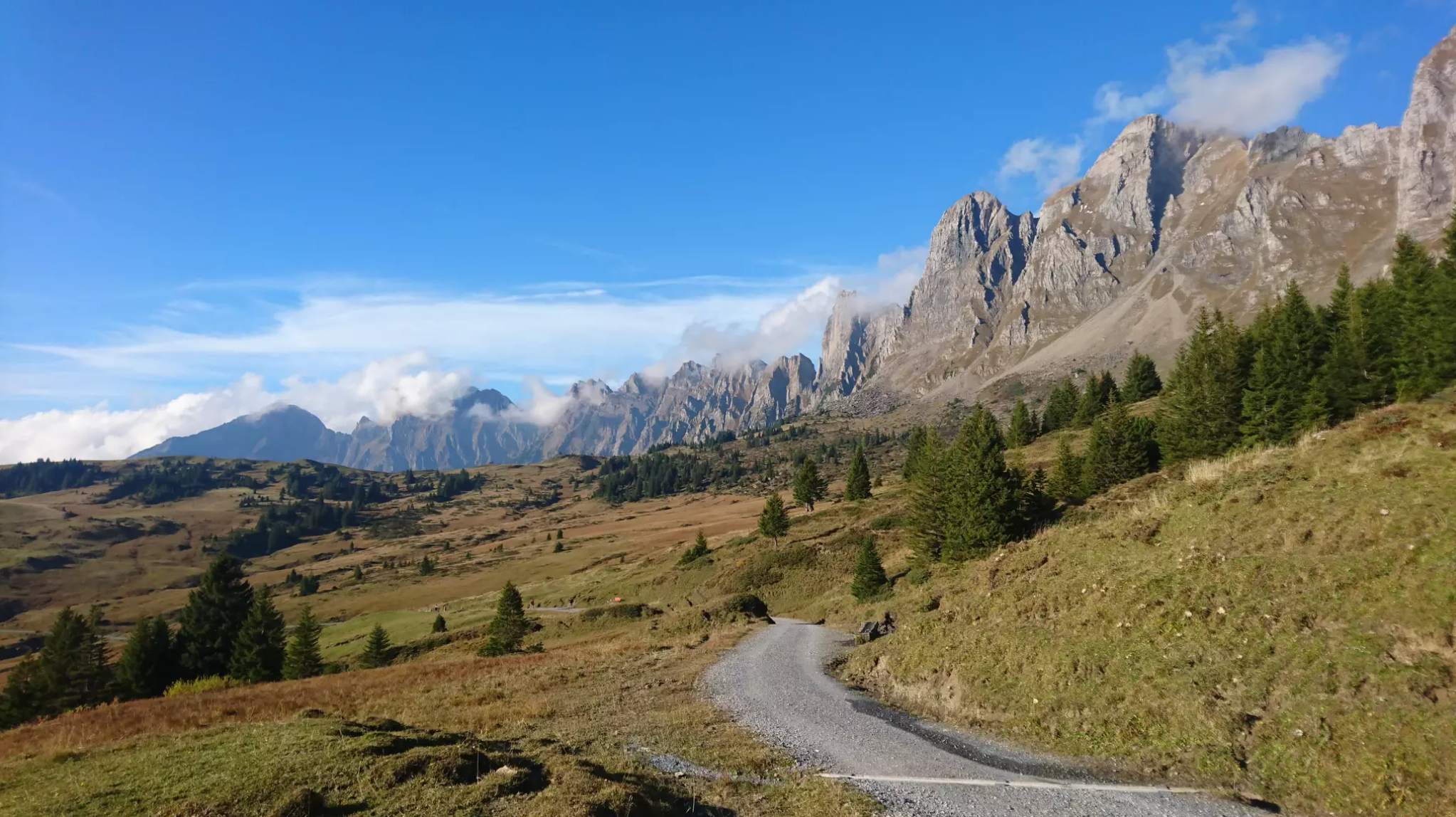
Wonderful panoramic bike tours over Lake Walensee
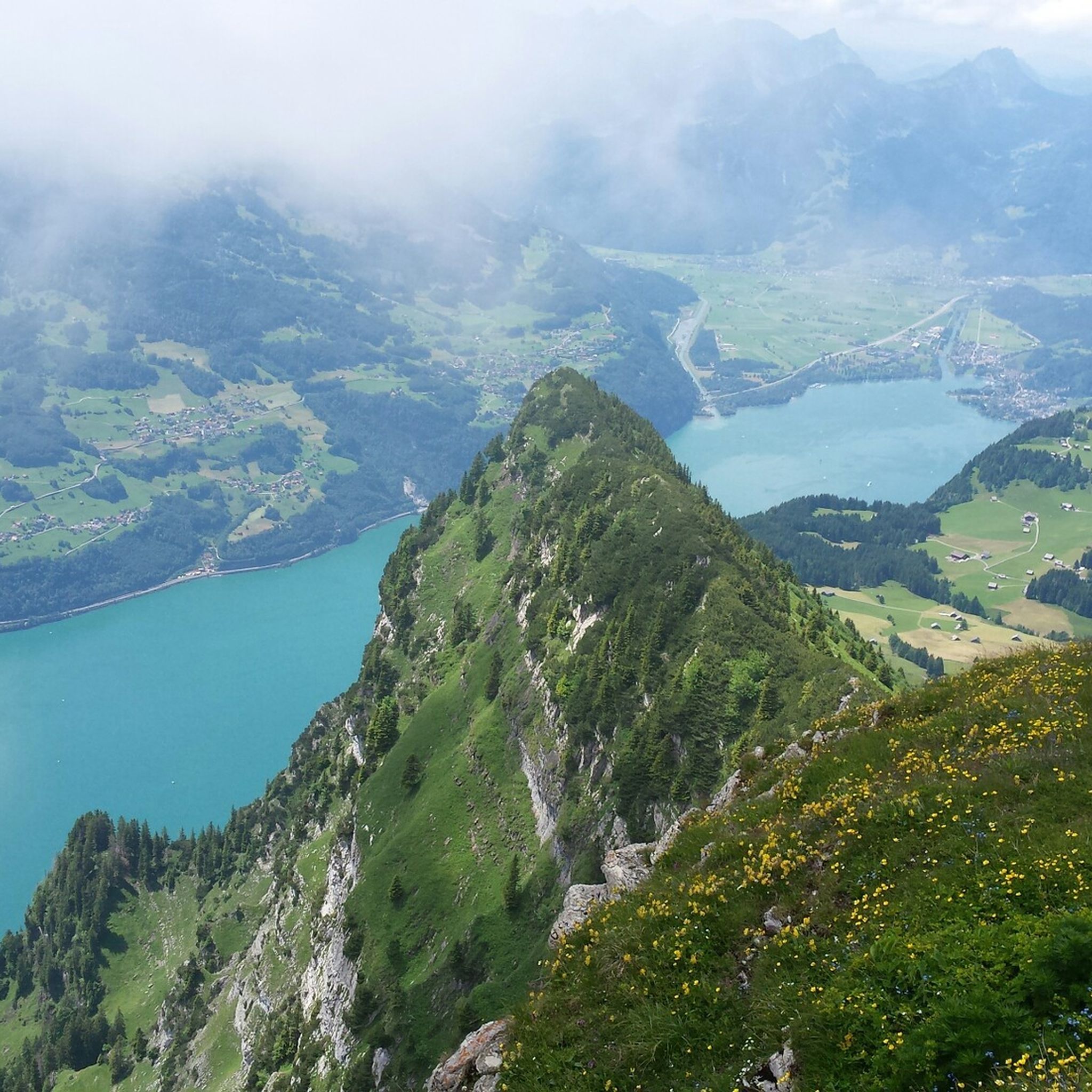
발렌슈타트 하이킹
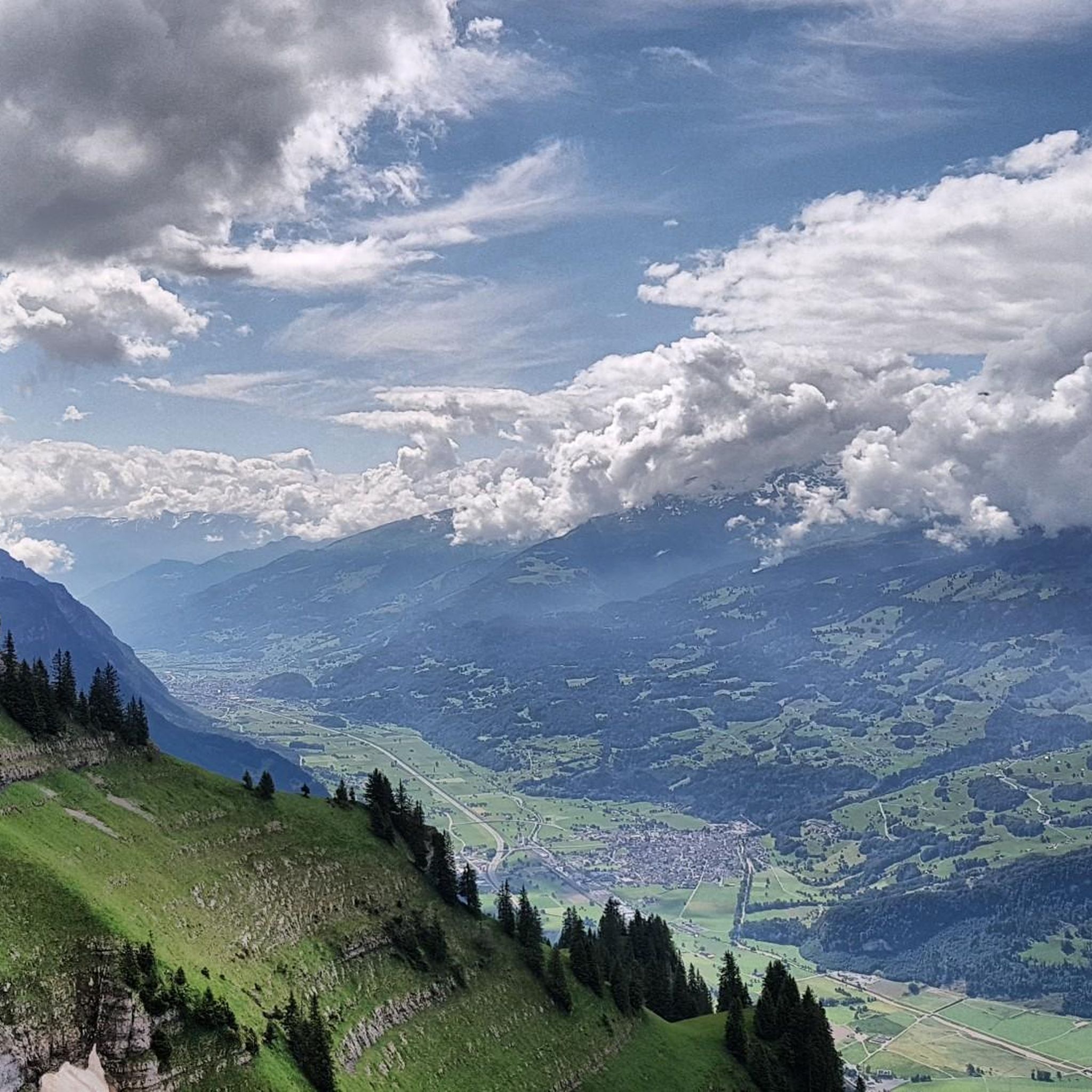
발렌슈타트 사이클링
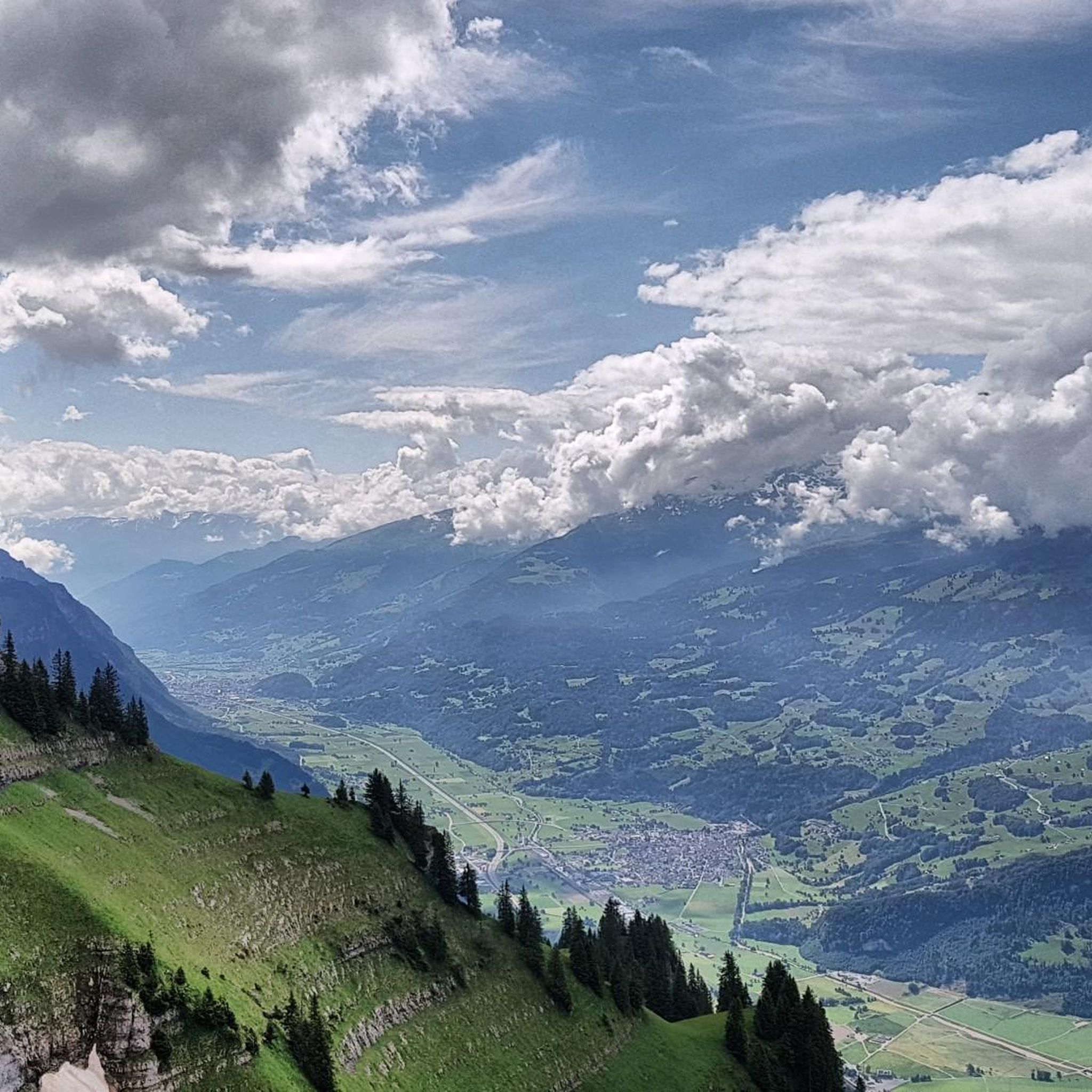
발렌슈타트 MTB 트레일
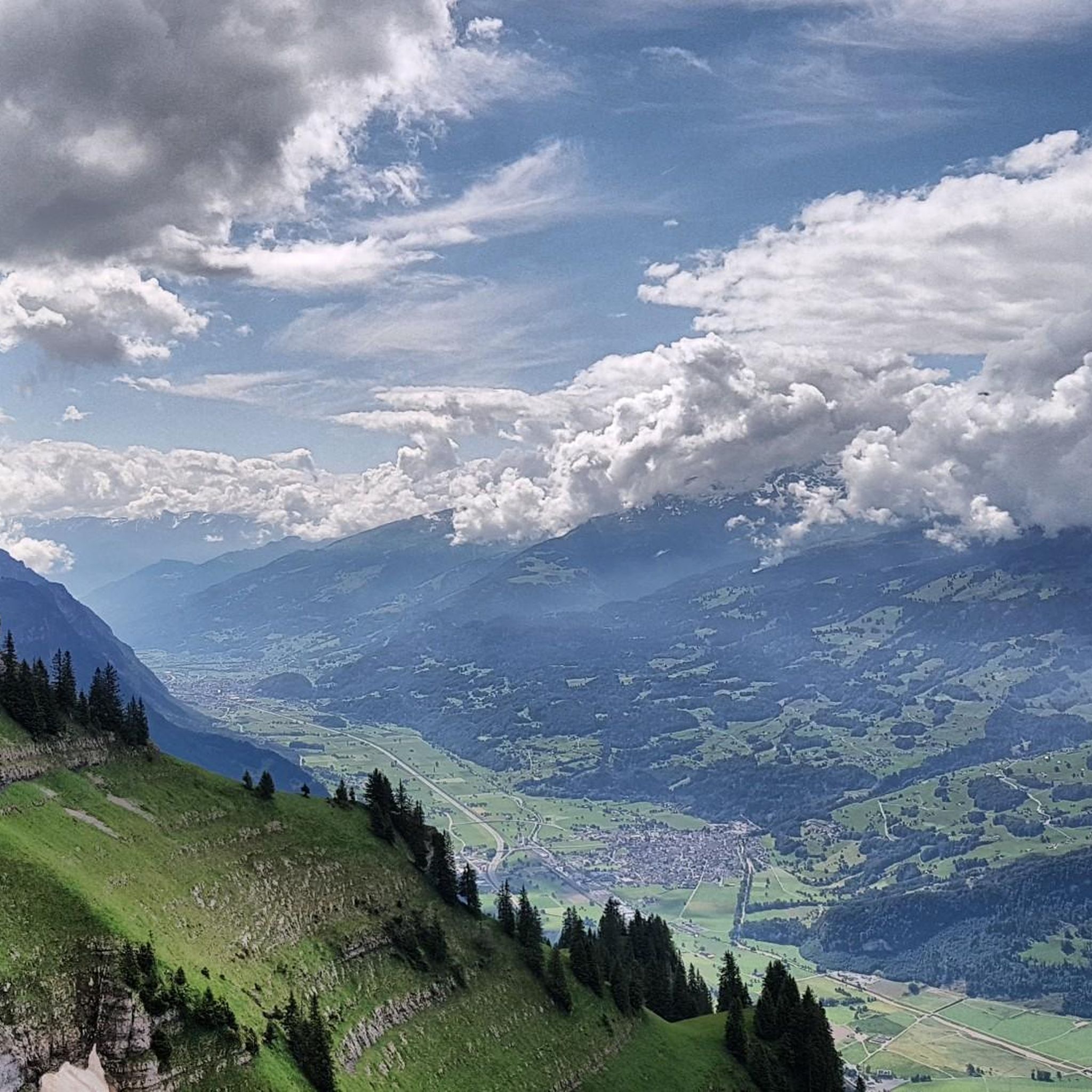
발렌슈타트 로드 사이클링 경로
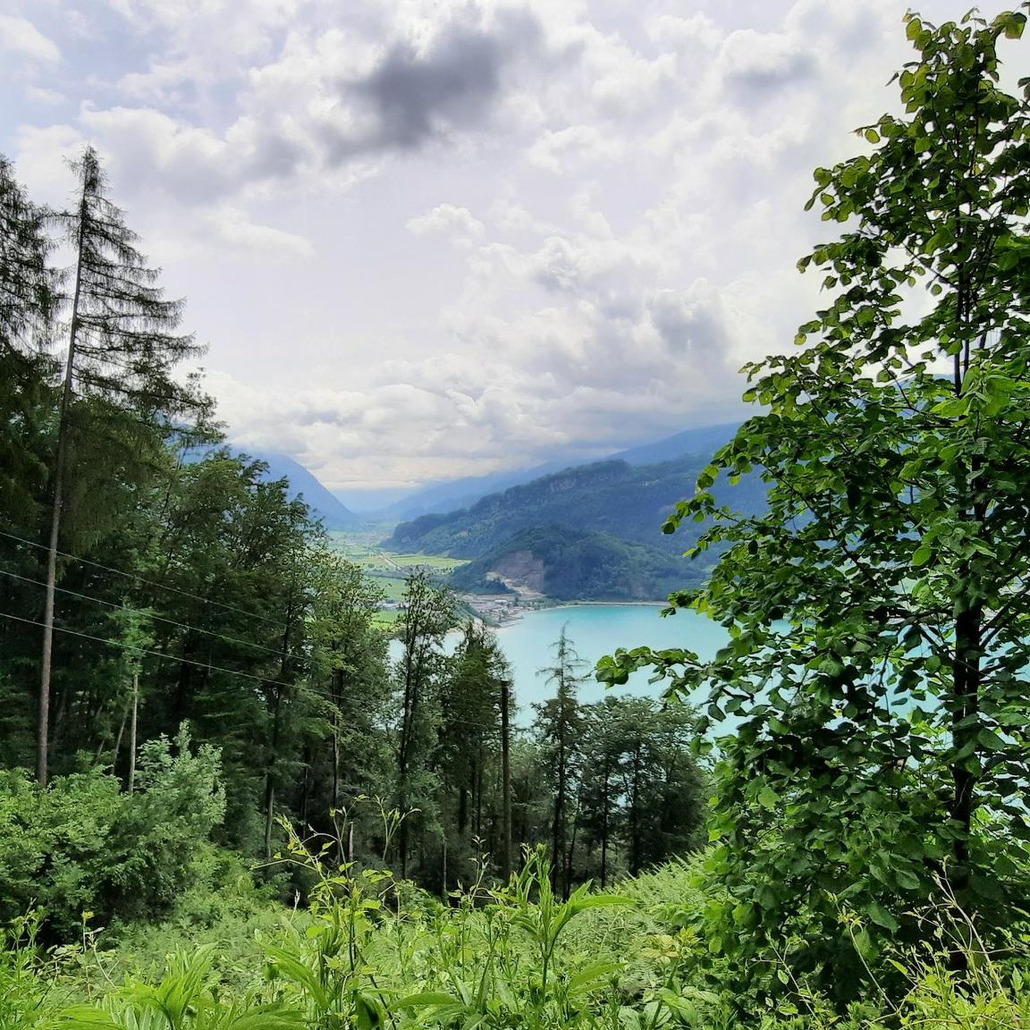
발렌슈타트 러닝 트레일
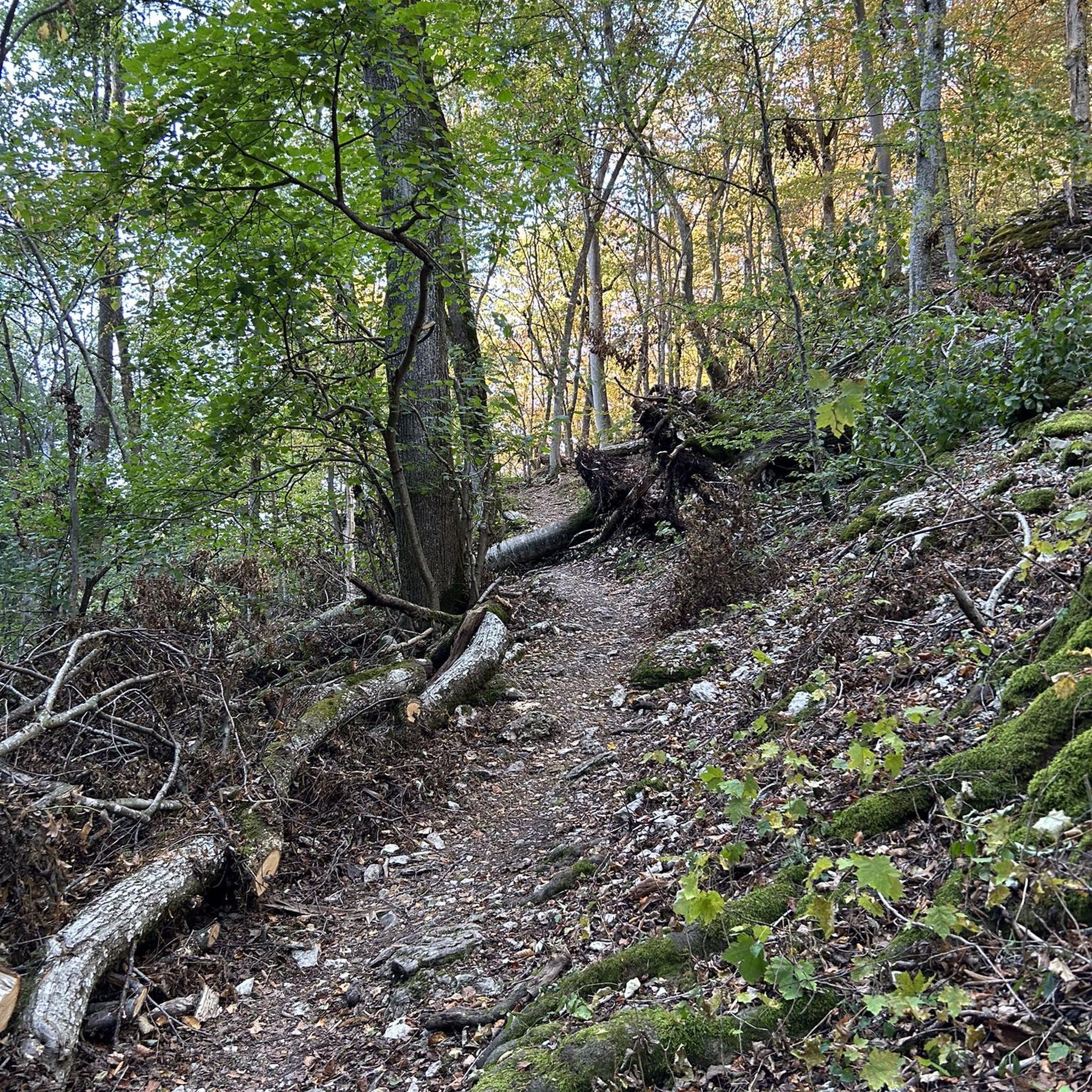
발렌슈타트 주변 그래블 라이딩

발렌슈타트 주변의 다른 모험

Lake and Alps Adventure – explore 100 dreamy places in our cycling region!

로드 사이클링 컬렉션 에 의해

Lake and Alps

커뮤니티 팁

Alessandra Herzog
8월 14, 2025, Wildenmannlisloch

🥰

0

0

interesting and fresh

번역: Google

0

0

Guided tours are only available on certain dates or with pre-registered groups (see website). However, the restaurant and museum are always open; the restaurant in the mine is beautifully designed, with an outdoor terrace in front of the entrance.

번역: Google

1

0

Stations of the Cross to the Grotto, Wangs The grotto and the Stations of the Cross in Wangs are located on a section of the Pfarrer Künzle Weg in the Buchholz area. Starting from the parish church, the path leads left along Dorfstrasse uphill to the fountain with a beautiful wayside cross. Follow the green signposts of Pfarrer Künzle Weg on Fontanixstrasse. To the left, the path leads over the bridge over the "Chlibach," where the first station of the Stations of the Cross is located. Continue along the forest path to the wooden bridge, which must be crossed. The Stations of the Cross continue along the paved Buchholzstrasse to the fountain with the final station. Text / Source: Roman Catholic Pastoral Unit of Central Sarganserland https://www.kath-msl.ch/kirchgemeinde-wangs/kirchen-gebaeude-wangs/#:~:text=The parish church of St. Anthony was built in the, organ, votive candles, open during the day, bell ringing, site plan

번역: Google

14

0

Grotto in Buchholz, Wangs The Wangs Mariengrotto was created on the initiative of Pastor Künzle in 1912/1913, and the bell tower was added in 1916. A cross is located on the vaulted hill in front of the tower. A Pietà (Mother of God with suffering Jesus) in the Nazarene style was placed in the grotto. Text / Source: Roman Catholic Pastoral Unit of Central Sarganserland https://www.kath-msl.ch/kirchgemeinde-wangs/kirchen-gebaeude-wangs/#:~:text=The parish church of St. Anthony was built in the, organ, votive candles, open during the day, bell ringing, site plan

번역: Google

14

0

Matto
2월 16, 2025, Wildenmannlisloch

On the eastern side of the Seluner-Ruck there is a cave, the Wildmannlisloch. Its gate is so large that one can drive in with a horse and cart. It leads an hour and a half deep into the mountain, and the passages inside are so wide that several men can walk upright side by side. At the front the wild men have carved out tables and benches for themselves; a quarter of an hour further in is a small lake, surrounded by boulders; the dwarves have rolled around these to form cool resting places; even further back are the dwellings. The dwarves lived on roots and milk. They helped the neighboring herdsmen to "shear" the stables, feed the cattle, and make hay on the mountain. Once they fetched the midwife from Starkenbach, who had to assist a wild woman. As a reward she received an entire apron full of lumps of earth. On the long way out of the cave, however, she paid no attention to the worthless gift; When she came out into the daylight and looked at the last piece, it was pure gold. Rochholz, Swiss legends.

번역: Google

1

0

AnnE
5월 24, 2024, Wildenmannlisloch

You can explore this cave on your own; a headlamp and waterproof shoes are a good idea. You sometimes have to bend down a bit, so be careful.

번역: Google

0

0

JUST HIKE
12월 26, 2023, Thurfälle

Further information can be found at the following link: https://de.m.wikipedia.org/wiki/Thurf%C3%A4lle

번역: Google

2

1

발렌슈타트 주변에서 가장 인기 있는 경로

발렌슈타트 하이킹

발렌슈타트 주변에서 가장 인기 있는 명소

Natural Monuments

Store rating

komoot 모바일 앱으로 영감을 받아보세요

무료 komoot 계정로 끝없는 야외 모험을 손쉽게 찾고, 맞춤 설정하며 길안내할 수 있어요.

또는

지금 komoot에 가입하세요

Store rating

더 살펴보기

발렌슈타트 주변의 최고의 동굴을 찾기 위해 이 가이드를 확인해보세요:

퀸텐매실쿼터멜스파이퍼스사르간스빌터스-왕스배드 라가즈

근처 어드벤처 가이드

보랄프제 즐길거리

background

새로운 정복을 위한 준비를 하세요

무료로 가입하기

탐험하기
경로경로 플래너기능하이킹MTB 트레일로드 사이클링 경로바이크패킹사이트맵
앱 다운로드
소셜 미디어에서 팔로우하기

© komoot GmbH

개인 정보 보호 정책
